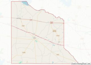
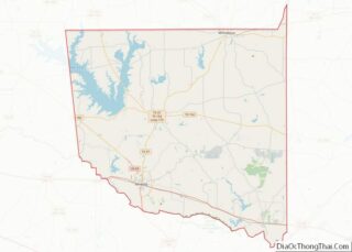
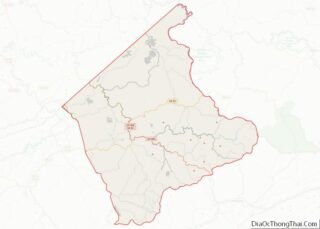
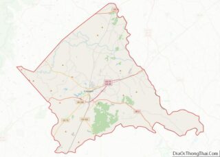
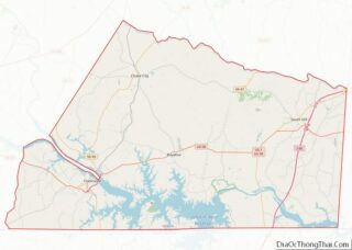
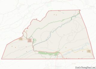
Map of Christian County

Map of Christian County, Kentucky

Christian County is a county located in the U.S. state of Kentucky. As of the 2020 census, the population was 72,748. Its county seat is Hopkinsville. The county was formed in 1797. Christian County is part of the Clarksville, TN–KY Metropolitan Statistical Area. Christian County overview: Name: Christian County FIPS code: 21-047 State: Kentucky Founded: … Read more

Map of Garrard County

Map of Garrard County, Kentucky

Garrard County (/ˈɡærɪd/ GAIR-id;) is a county located east-central Kentucky. As of the 2020 census, the county’s population was 16,953. Its county seat is Lancaster. The county was formed in 1796 and was named for James Garrard, Governor of Kentucky from 1796 to 1804. It is a prohibition or dry county, although its county seat, … Read more

Map of Jefferson County

Map of Jefferson County, Kentucky

Jefferson County is located in the north central portion of the U.S. state of Kentucky. As of the 2020 census, the population was 782,969. It is the most populous county in the commonwealth (with more than twice the population of second ranked Fayette County). Since a city-county merger in 2003, the county’s territory, population and … Read more

Map of Lyon County

Map of Lyon County, Kentucky

Lyon County is a county located in the U.S. state of Kentucky. As of the 2020 census, the population was 8,680. Its county seat is Eddyville. The county was formed from Caldwell County, Kentucky in 1854 and named for former Congressman Chittenden Lyon. Lyon County overview: Name: Lyon County FIPS code: 21-143 State: Kentucky Founded: … Read more

Map of Morgan County

Map of Morgan County, Kentucky

Morgan County is a county located in the U.S. state of Kentucky. As of the 2020 census, the population was 13,726. Its county seat is West Liberty. The county is among the dry counties, which means that the sale of alcohol is restricted or prohibited. Morgan County overview: Name: Morgan County FIPS code: 21-175 State: … Read more

Map of Russell County

Map of Russell County, Kentucky

Russell County is a county located in the U.S. Commonwealth of Kentucky. As of the 2020 census, the population was 17,991. Its county seat is Jamestown and its largest city is Russell Springs. The county was formed on December 14, 1825, from portions of Adair, Cumberland and Wayne Counties and is named for William Russell. … Read more

Map of Woodford County

Map of Woodford County, Kentucky

Woodford County is a county located in the U.S. state of Kentucky. As of the 2020 census, the population was 26,871. Its county seat is Versailles. The area was home to Pisgah Academy. Woodford County is part of the Lexington-Fayette, KY Metropolitan Statistical Area. It is located in the center of the Bluegrass region of … Read more

Map of De Soto Parish

Map of De Soto Parish, Louisiana

DeSoto Parish (Spanish: Parroquia de DeSoto; French: Paroisse DeSoto) is a parish located in the U.S. state of Louisiana. The parish was formed in 1843. At the 2020 U.S. census, the population was 26,812. Its parish seat is Mansfield. DeSoto Parish is part of the Shreveport–Bossier City metropolitan statistical area. De Soto Parish overview: Name: … Read more

Map of Livingston Parish

Map of Livingston Parish, Louisiana

Livingston Parish (Louisiana French: La Paroisse Livingston) is a parish in the U.S. state of Louisiana. Its parish seat is the town of Livingston. Livingston Parish is one of the Florida Parishes, a region which, unlike the rest of the state, was part of the Spanish Empire rather than the French Empire. The name Livingston … Read more

Map of Saint John the Baptist Parish

Map of St. John the Baptist Parish, Louisiana

St. John the Baptist Parish (SJBP, French: Paroisse de Saint-Jean-Baptiste) is a parish located in the U.S. state of Louisiana. At the 2020 census, the population was 42,477. The parish seat is Edgard, an unincorporated area, and the largest city is LaPlace, which is also unincorporated. St. John the Baptist Parish was established in 1807 … Read more

Map of Winn Parish

Map of Winn Parish, Louisiana

Winn Parish overview: Name: Winn Parish FIPS code: 22-127 State: Louisiana Founded: February 24, 1852 Named for: Walter Winn or Winfield Scott Seat: Winnfield Total Area: 2,480 km² (957 sq mi) Land Area: 2,500 km² (950 sq mi) Total Population: 13,755 Population Density: 5.5/km² (14/sq mi) Time zone: UTC-6 (CST) Summer Time Zone (DST): UTC-5 (CDT) Winn Parish location map. Where is … Read more

Map of York County

Map of York County, Maine

York County is the southwesternmost county in the U.S. state of Maine, along the state of New Hampshire‘s eastern border. It is divided from Strafford County, New Hampshire, by the Salmon Falls River, and the connected tidal estuary—the Piscataqua River. York County was permanently established in 1639. It is the state’s oldest county and one … Read more