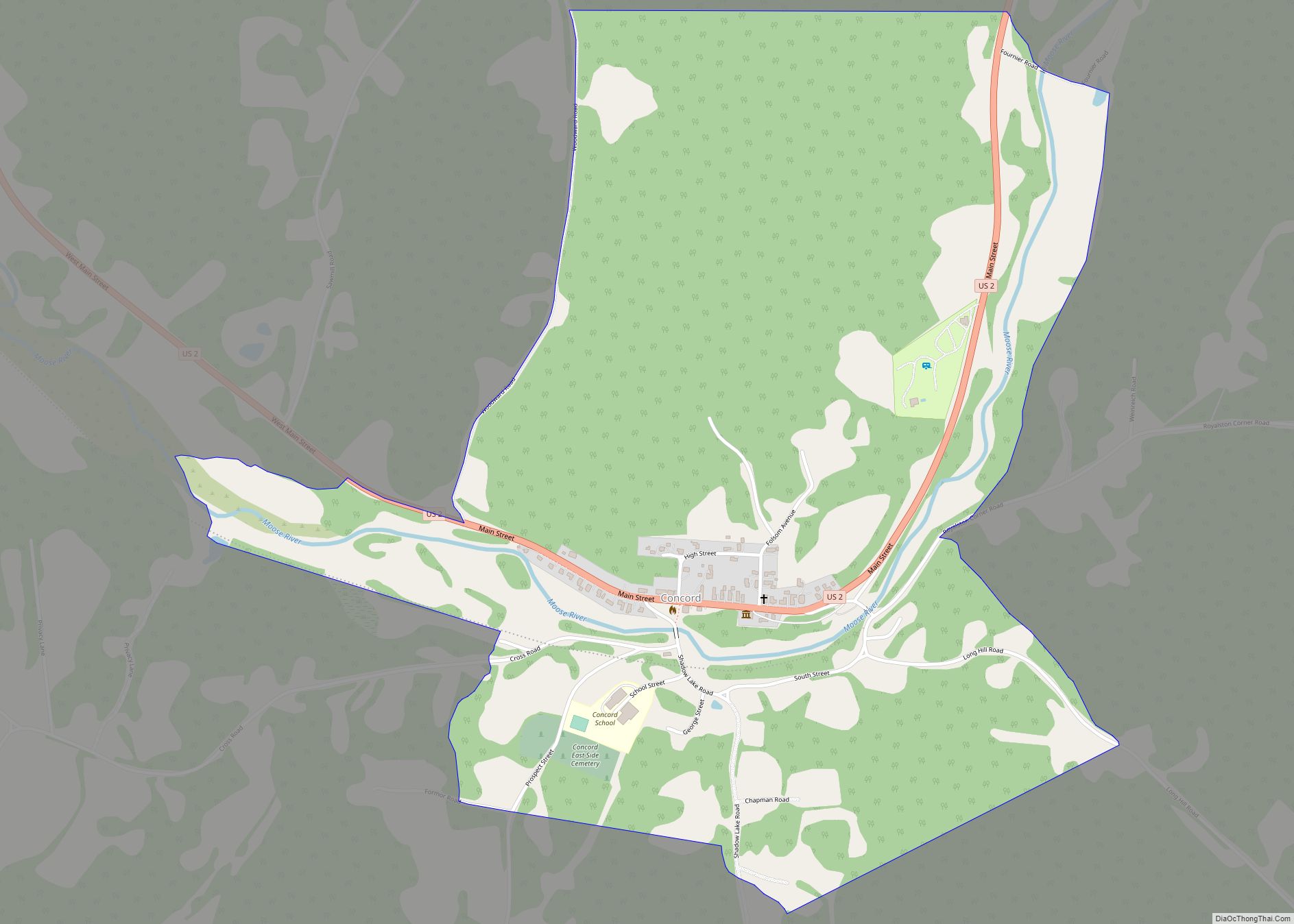
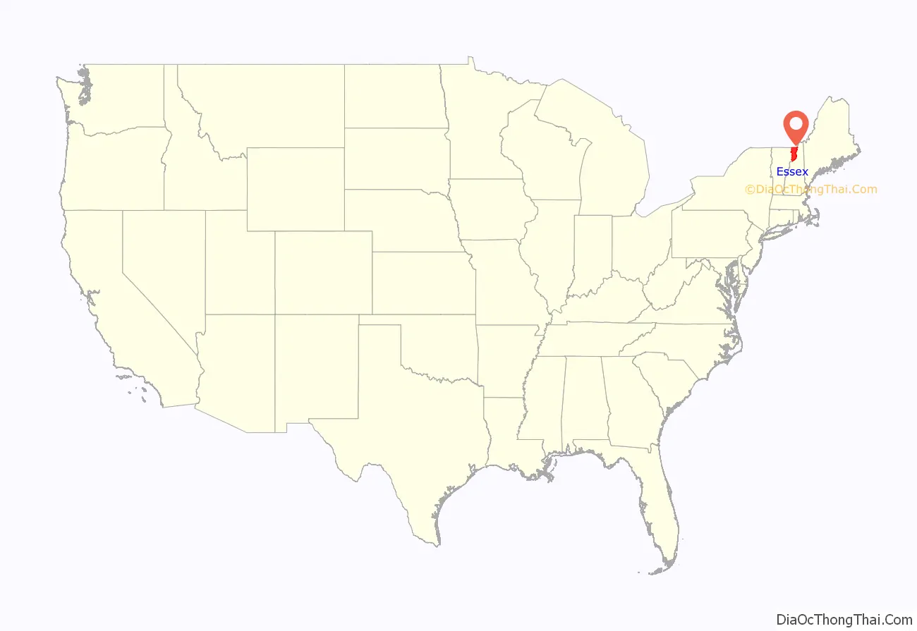
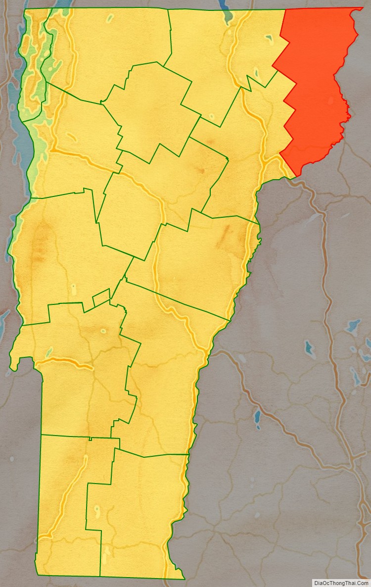
Essex County is a county located in the northeastern part of the U.S. state of Vermont. As of the 2020 census, the population was 5,920, making it the least-populous county in both Vermont and New England. Its shire town (county seat) is the municipality of Guildhall. The county was created in 1792 and organized in 1800. Bordered by the Connecticut River next to New Hampshire, Essex County is south of the Canadian province of Quebec. It is the county with the lowest household-income in Vermont.
| Name: | Essex County |
|---|---|
| FIPS code: | 50-009 |
| State: | Vermont |
| Founded: | 1800 |
| Named for: | Essex |
| Largest town: | Lunenburg |
| Total Area: | 675 sq mi (1,750 km²) |
| Land Area: | 664 sq mi (1,720 km²) |
| Total Population: | 5,920 |
| Population Density: | 8.8/sq mi (3.4/km²) |
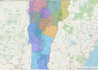
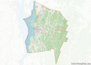
Essex County location map. Where is Essex County?
History
Prior to the arrival of colonists of European descent, the area was populated by the Abenakis. They used the Connecticut and Nulhegan rivers as primary means of travel through the area along with many subsidiary rivers and streams. The culture was mostly hunter-gatherer with a combination of agriculture, hunting and fishing. While the rivers provided good fishing the primary food animal was moose.
Vermont was divided into two counties in March 1778. In 1781 the legislature divided the northernmost county, Cumberland, into three counties: Windham and Windsor, in approximately the modern location for those counties. The northern remainder was called Orange County. This latter tract nearly corresponded with the old New York county of Gloucester, organized by that province March 16, 1770, with Newbury as the shire town.
On September 3, 1783, as a result of the signing of the Treaty of Paris, the Revolutionary War ended with Great Britain recognizing the independence of the United States. Vermont’s border with Quebec was established at 45 degrees north latitude.
On November 5, 1792, the legislature divided Chittenden and Orange counties into six separate counties, as follows: Chittenden, Orange, Franklin, Caledonia, Essex, and Orleans. No reason is given for the county being named after the county of Essex in England.
In 1999, a group of investors bought 86,212 acres (34,889 ha) from Champion International Paper for $7.5 million, covering parts of fourteen towns in the county. The state of Vermont and the Freeman Foundation purchased easements for $8.5 million to guarantee traditional uses of the land for logging and recreation. In 2008, Plum Creek Timber company announced plans to purchase this property.
The last murder trial held at the county courthouse took place in 1923. In 1973, a non-resident murdered another non-resident. In 2008, two residents died by homicide – the first in 85 years – when police said a young woman was shot by her boyfriend and a 59-year-old man shot his mother.
In 2012, a study indicated that county residents, overall, were the least healthy in the state. The rating was based on premature death, low birth weight, smoking, obesity, inactivity, excessive drinking, car crashes, sexually transmitted diseases, graduation rates, poverty, violent crime rates, air pollution, limited access to healthy food, unemployment, and the number of single parent households.
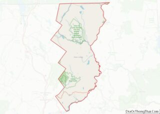
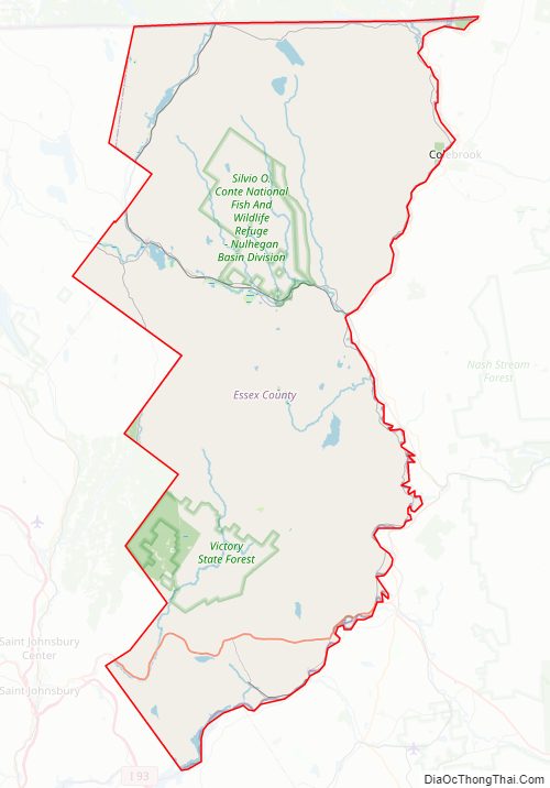
Essex County Road Map
Geography
According to the U.S. Census Bureau, the county has a total area of 675 square miles (1,750 km), of which 664 square miles (1,720 km) is land and 12 square miles (31 km) (1.7%) is water.
In the north central portion of the county the Nulhegan Basin is a circular area roughly 10 miles (16 km) in diameter. While the origin of this basin may be either an asteroid hit or ancient volcano it has not been proven as either one so far. Within the basin is a bog and the Silvio O. Conte Fish and Wildlife Refuge Archived August 5, 2020, at the Wayback Machine with a visitor center, hiking trails, and viewing platforms where one can wait under shelter.
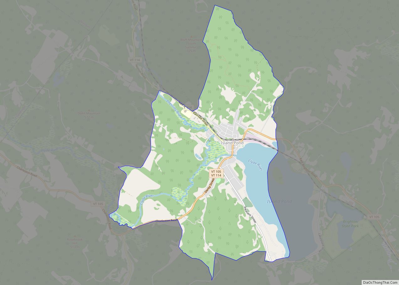
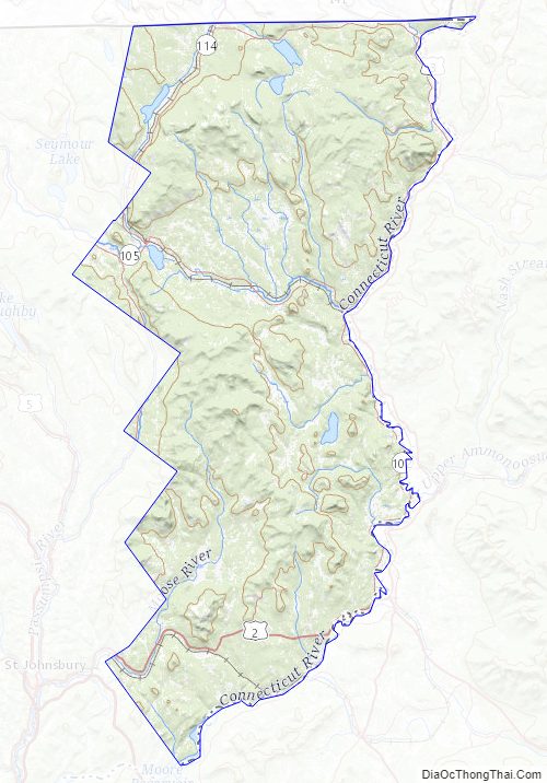
The county has many mountains and waterways. The Northern Forest Canoe Trail passes through this area along the Clyde, Nulhegan, and Connecticut rivers.
Adjacent counties
- Coös County, New Hampshire – east
- Grafton County, New Hampshire – south
- Caledonia County – southwest
- Orleans County – west
- Coaticook Regional County Municipality, Quebec – north
Major roads
- US 2
- VT 102
- VT 105
- VT 114
Fauna
In 2011, there were about 1,000 moose in the county. State officials estimated that this was about the “correct number” for a sustainable herd, with the moose not showing signs of starvation, nor the feeding grounds showing signs of overgrazing. In recent years the moose population has been suffering from infestations by ticks. Some moose have been found having as many as 10,000 ticks on one moose, thus causing death from both blood loss and Lyme’s Disease in the case of deer tick infections. Warmer winter weather in recent years has prevented the normal die-off of ticks from freezing.
National protected area
- Silvio O. Conte National Fish and Wildlife Refuge (part)
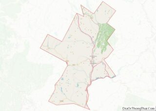
Essex County Topographic Map
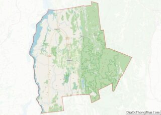
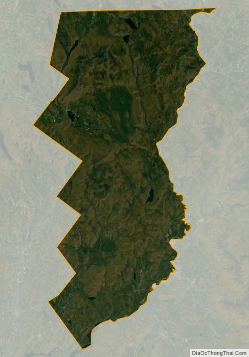
Essex County Satellite Map
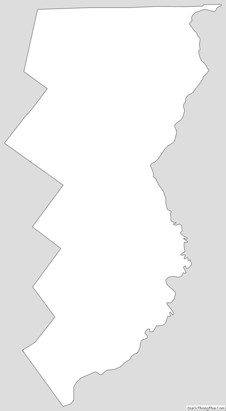
Essex County Outline Map