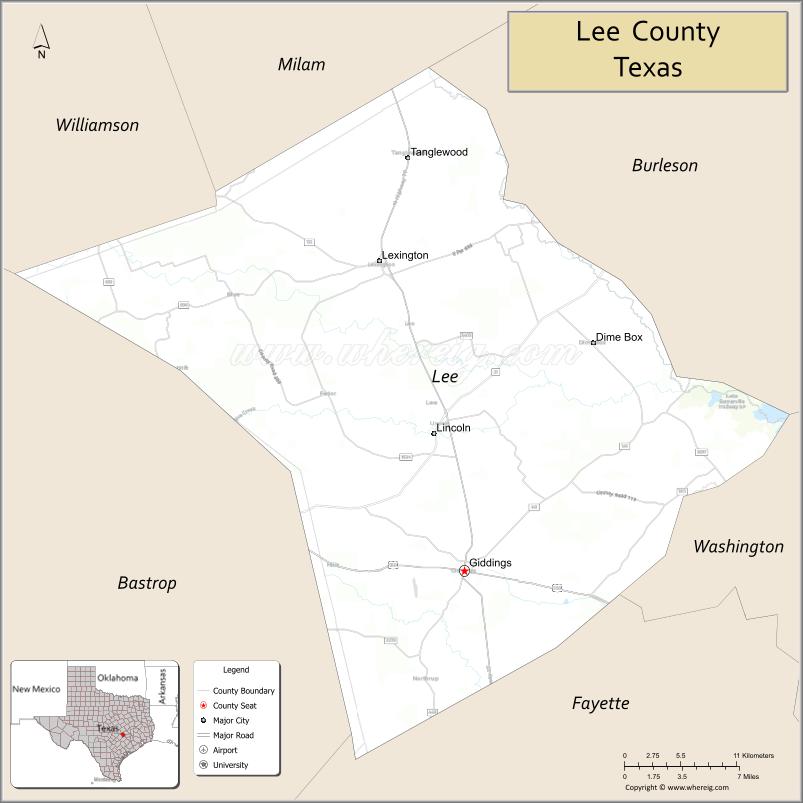
Lee County is a county located in the U.S. state of Texas. As of the 2020 census, its population was 17,478. Its county seat is Giddings. The county was founded in 1874 and is named for Confederate General Robert E. Lee. The county has many Confederate memorials and monuments to the Confederate States of America.
| Name: | Lee County |
|---|---|
| FIPS code: | 48-287 |
| State: | Texas |
| Founded: | 1874 |
| Named for: | Robert E. Lee |
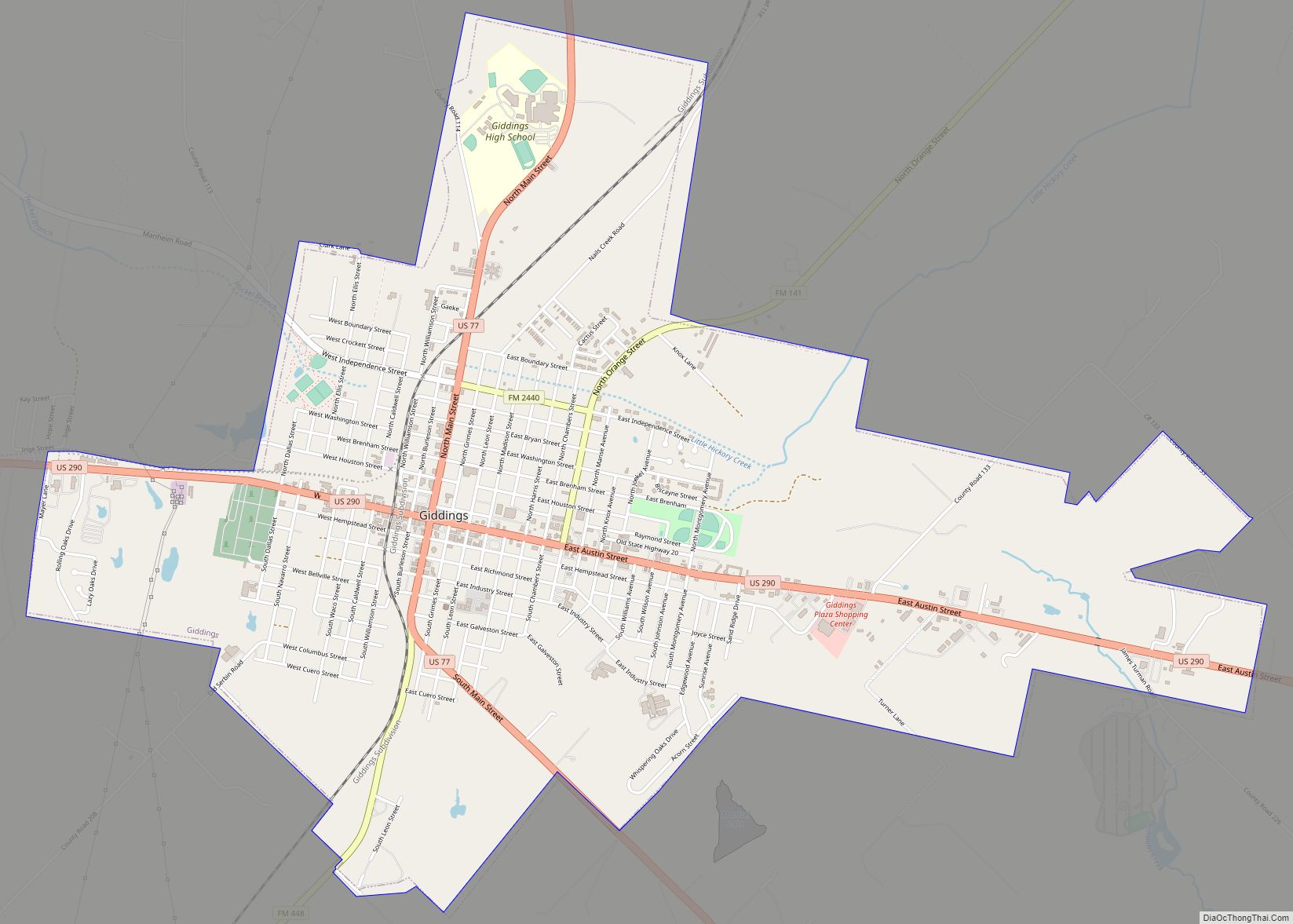
| Seat: | Giddings |
| Largest city: | Giddings |
| Total Area: | 634 sq mi (1,640 km²) |
| Land Area: | 629 sq mi (1,630 km²) |
| Total Population: | 17,478 |
| Population Density: | 28/sq mi (11/km²) |
| Time zone: | UTC−6 (Central) |
| Summer Time Zone (DST): | UTC−5 (CDT) |
| Website: | www.co.lee.tx.us |
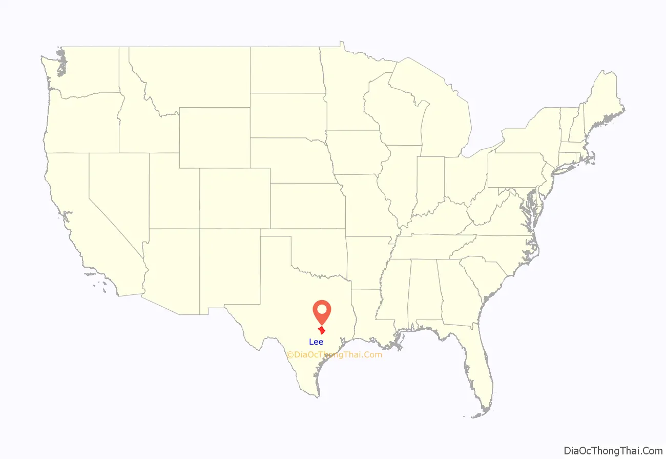
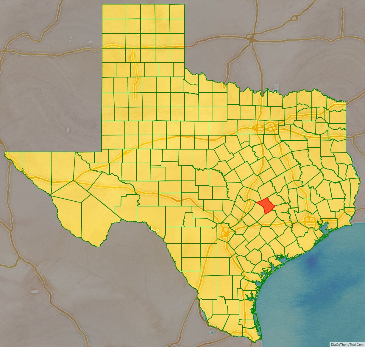
Lee County location map. Where is Lee County?
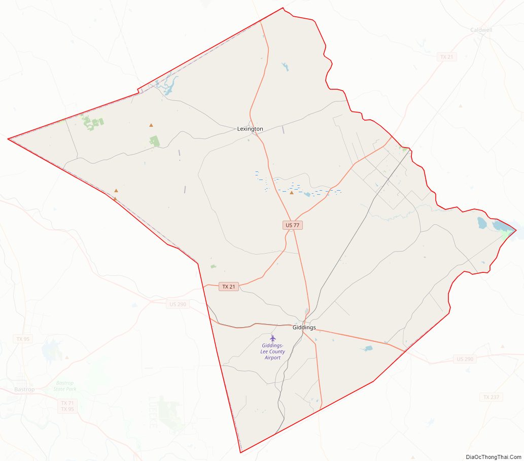
Lee County Road Map
Geography
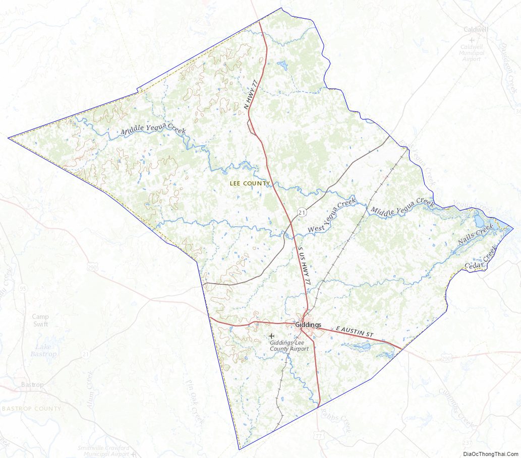
According to the U.S. Census Bureau, the county has a total area of 634 square miles (1,640 km), of which 5.1 square miles (13 km) (0.8%) are covered by water.
Major highways
- U.S. Highway 77
- U.S. Highway 290
- State Highway 21
Adjacent counties
- Milam County (north)
- Burleson County (northeast)
- Washington County (east)
- Fayette County (southeast)
- Bastrop County (southwest)
- Williamson County (northwest)
Lee County Topographic Map
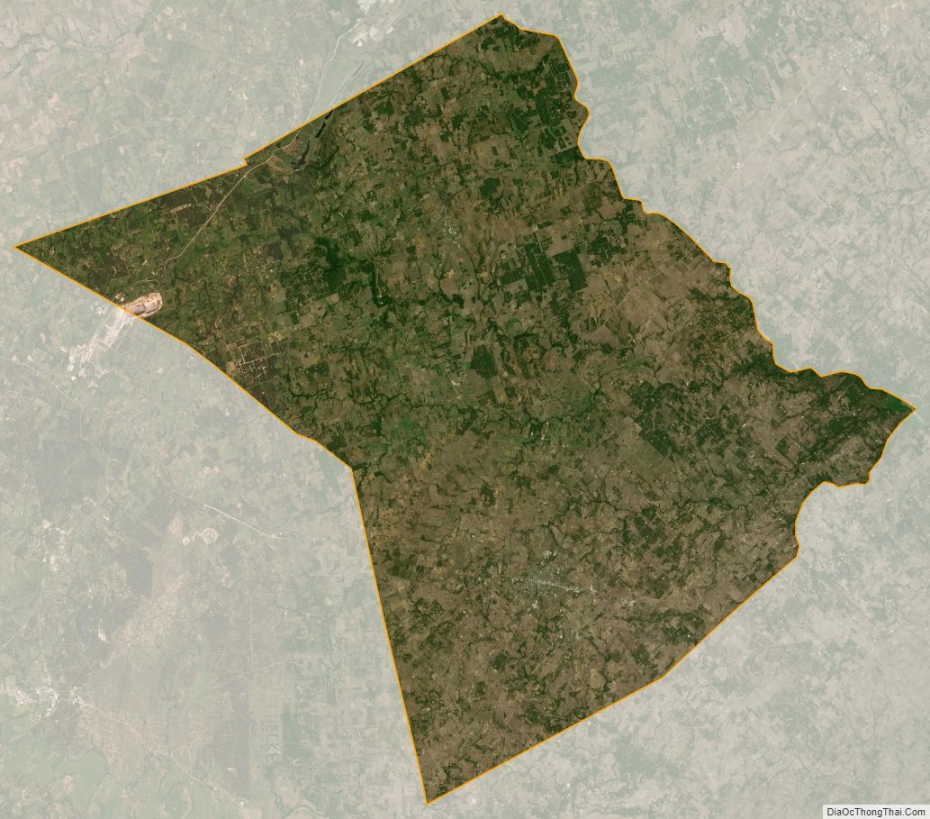
Lee County Satellite Map
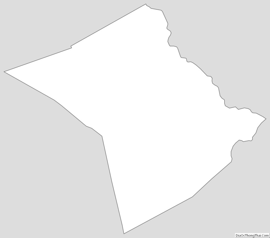
Lee County Outline Map