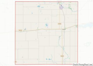
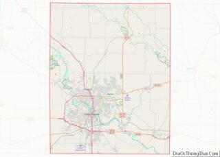
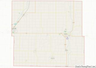
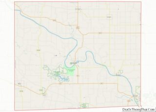
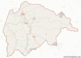
Map of Latah County

Map of Latah County, Idaho

Latah County overview: Name: Latah County FIPS code: 16-057 State: Idaho Founded: May 14, 1888 Named for: Latah Creek Seat: Moscow Largest city: Moscow Total Area: 1,077 sq mi (2,790 km²) Land Area: 1,077 sq mi (2,790 km²) Total Population: 39,517 Population Density: 37/sq mi (14/km²) Time zone: UTC−8 (Pacific) Summer Time Zone (DST): UTC−7 (PDT) Website: latah.id.us Latah County location map. … Read more

Map of Adams County

Map of Adams County, Illinois

Adams County is the westernmost county in the U.S. state of Illinois. As of the 2020 census, the population was 65,737. Its county seat is Quincy. Adams County is part of the Quincy, IL–MO Micropolitan Statistical Area. Adams County overview: Name: Adams County FIPS code: 17-001 State: Illinois Founded: 1825 Named for: John Quincy Adams … Read more

Map of Crawford County

Map of Crawford County, Illinois

Crawford County is a county located in the U.S. state of Illinois. As of the 2010 census, the population was 19,817. Its county seat is Robinson. Crawford County overview: Name: Crawford County FIPS code: 17-033 State: Illinois Founded: 1816 Named for: William H. Crawford Seat: Robinson Largest city: Robinson Total Area: 446 sq mi (1,160 km²) Land Area: … Read more

Map of Hamilton County

Map of Hamilton County, Illinois

Hamilton County is a county located in the U.S. state of Illinois. At the 2020 census, its population was 7,993. Its county seat is McLeansboro. It is located in the southern portion of the state known locally as “Little Egypt”. Hamilton County overview: Name: Hamilton County FIPS code: 17-065 State: Illinois Founded: 1821 Named for: … Read more

Map of La Salle County

Map of LaSalle County, Illinois

LaSalle County is located within the Fox Valley and Illinois River Valley regions of the U.S. state of Illinois. As of the 2020 Census, it had a population of 109,658. Its county seat and largest city is Ottawa. LaSalle County is part of the Ottawa, IL Micropolitan Statistical Area of Northern Illinois. LaSalle County borders … Read more

Map of McLean County

Map of McLean County, Illinois

McLean County is the largest county by land area in the U.S. state of Illinois. According to the 2020 Census, it had a population of 170,954. Its county seat is Bloomington. McLean County is included in the Bloomington–Normal, IL Metropolitan Statistical Area. McLean County overview: Name: McLean County FIPS code: 17-113 State: Illinois Founded: December … Read more

Map of Richland County

Map of Richland County, Illinois

Richland County is a county located in the U.S. state of Illinois. According to the 2020 United States census, it had a population of 15,813. Its county seat is Olney. Richland County overview: Name: Richland County FIPS code: 17-159 State: Illinois Founded: February 24, 1841 Named for: Richland County, Ohio Seat: Olney Largest city: Olney … Read more

Map of Wayne County

Map of Wayne County, Illinois

Wayne County is a county located in the U.S. state of Illinois. According to the 2010 census, it had a population of 16,760. Its county seat is Fairfield. It is located in the southern portion of Illinois known locally as “Little Egypt”. Wayne County overview: Name: Wayne County FIPS code: 17-191 State: Illinois Founded: 1819 … Read more

Map of Clark County

Map of Clark County, Indiana

Clark County is a county in the U.S. state of Indiana, located directly across the Ohio River from Louisville, Kentucky. At the 2020 census, the population was 121,093. The county seat is Jeffersonville. Clark County is part of the Louisville/Jefferson County, KY–IN Metropolitan Statistical Area. Clark County overview: Name: Clark County FIPS code: 18-019 State: … Read more

Map of Gibson County

Map of Gibson County, Indiana

Gibson County is a county in the southwestern part of the U.S. state of Indiana. As of the 2010 United States Census, the population was 33,503. The county seat is Princeton. Gibson County overview: Name: Gibson County FIPS code: 18-051 State: Indiana Founded: 1 April 1813 Named for: John Gibson Seat: Princeton Largest city: Princeton … Read more

Map of Knox County

Map of Knox County, Indiana

Knox County is a county in the U.S. state of Indiana in the United States. The oldest county in Indiana, it was one of two original counties created in the Northwest Territory in 1790, alongside, St. Clair County, Illinois. Knox County was gradually reduced in size as subsequent counties were established. It was established in … Read more

Map of Noble County

Map of Noble County, Indiana

Noble County is a county in the U.S. state of Indiana. As of the 2020 United States Census, the population was 47,457. The county seat is Albion. The county is divided into 13 townships which provide local services. Noble County comprises the Kendallville, IN Micropolitan Statistical Area and is included in the Fort Wayne–Huntington–Auburn, IN … Read more