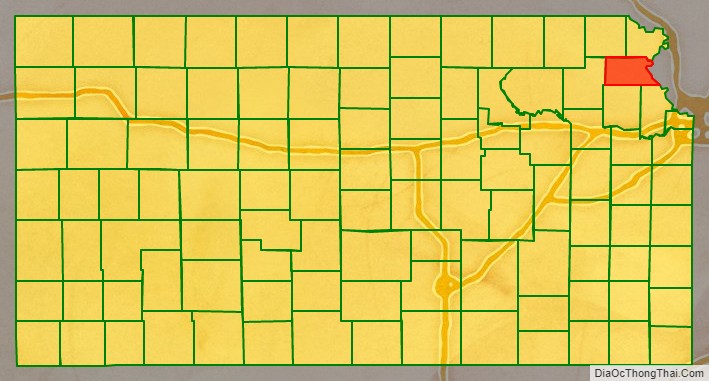
Atchison County (county code AT) is a county located in northeastern Kansas, in the Central United States. As of the 2020 census, the county population was 16,348. Its county seat and most populous city is Atchison. The county is named in honor of David Rice Atchison, a United States Senator from Missouri.
| Name: | Atchison County |
|---|---|
| FIPS code: | 20-005 |
| State: | Kansas |
| Founded: | August 25, 1855 |
| Named for: | David Rice Atchison |
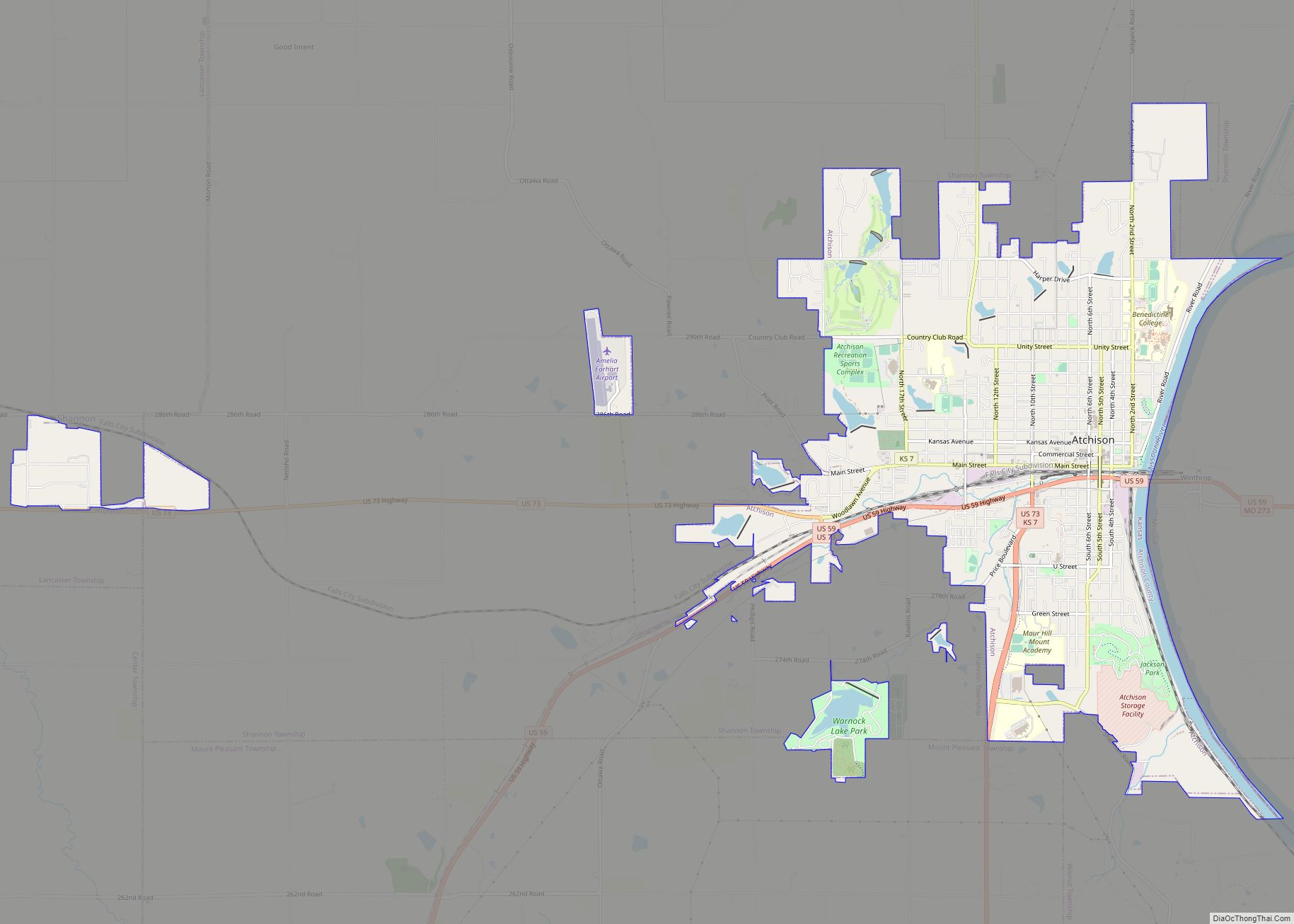
| Seat: | Atchison |
| Largest city: | Atchison |
| Total Area: | 434 sq mi (1,120 km²) |
| Land Area: | 431 sq mi (1,120 km²) |
| Total Population: | 16,348 |
| Population Density: | 37.9/sq mi (14.6/km²) |
| Time zone: | UTC−6 (Central) |
| Summer Time Zone (DST): | UTC−5 (CDT) |
| Website: | AtchisonCountyKS.org |
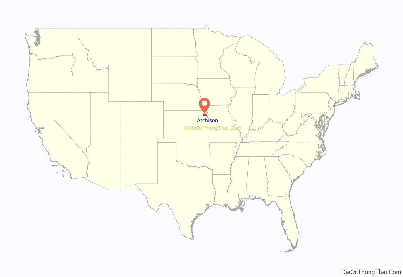
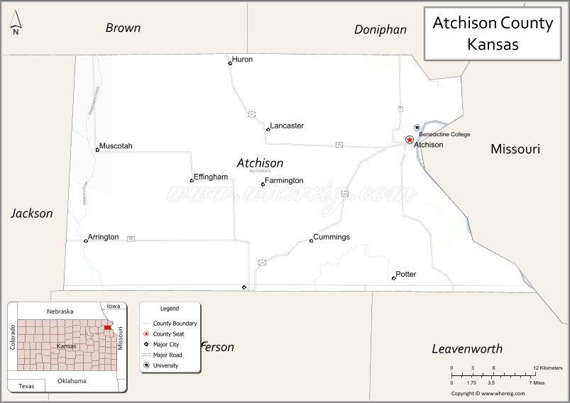
Atchison County location map. Where is Atchison County?
History
Early history
For many millennia, the Great Plains of North America was inhabited by nomadic Native Americans. From the 16th century to 18th century, the Kingdom of France claimed ownership of large parts of North America. In 1762, after the French and Indian War, France secretly ceded New France to Spain, per the Treaty of Fontainebleau.
19th century
In 1802, Spain returned most of the land to France, but keeping title to about 7,500 square miles. In 1803, most of the land for modern day Kansas was acquired by the United States from France as part of the 828,000 square mile Louisiana Purchase for 2.83 cents per acre.
In 1854, the Kansas Territory was organized, then in 1861 Kansas became the 34th U.S. state. In 1855, Atchison County was established.
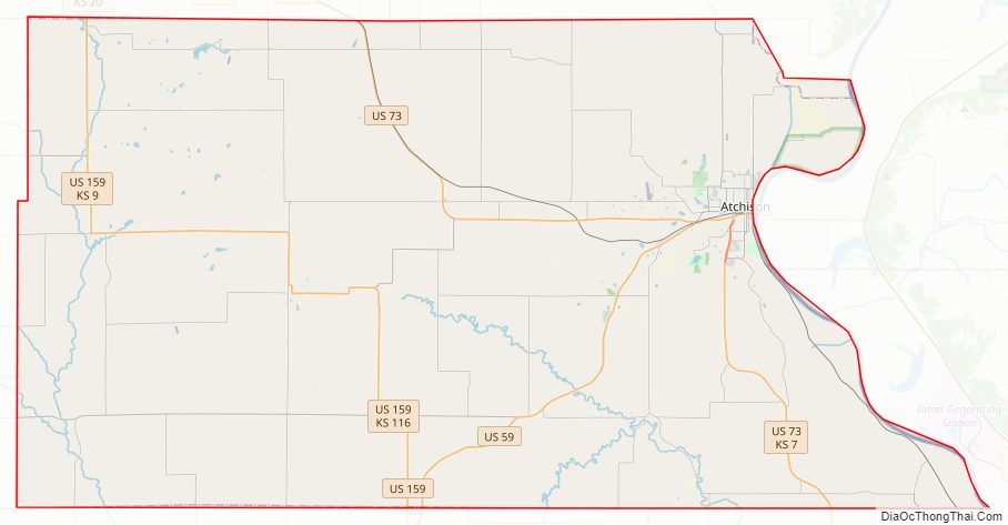
Atchison County Road Map
Geography
According to the U.S. Census Bureau, the county has a total area of 434 square miles (1,120 km), of which 431 square miles (1,120 km) is land and 2.6 square miles (6.7 km) (0.6%) is water. It is the fourth-smallest county by area in Kansas.
On July 4, 1804, to mark Independence Day, the Lewis and Clark Expedition named Independence Creek (River) located near the city of Atchison (see Timeline of the Lewis and Clark Expedition).
Adjacent counties
- Doniphan County (north)
- Buchanan County, Missouri (northeast)
- Leavenworth County (southeast)
- Platte County, Missouri (east)
- Jefferson County (south)
- Jackson County (west)
- Brown County (northwest)
Major highways
Sources: National Atlas, U.S. Census Bureau
- U.S. Route 59
- U.S. Route 73
- U.S. Route 159
- Kansas Highway 7
- Kansas Highway 9
- Kansas Highway 116
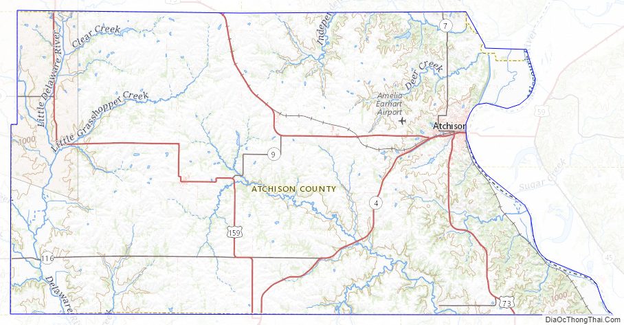
Atchison County Topographic Map
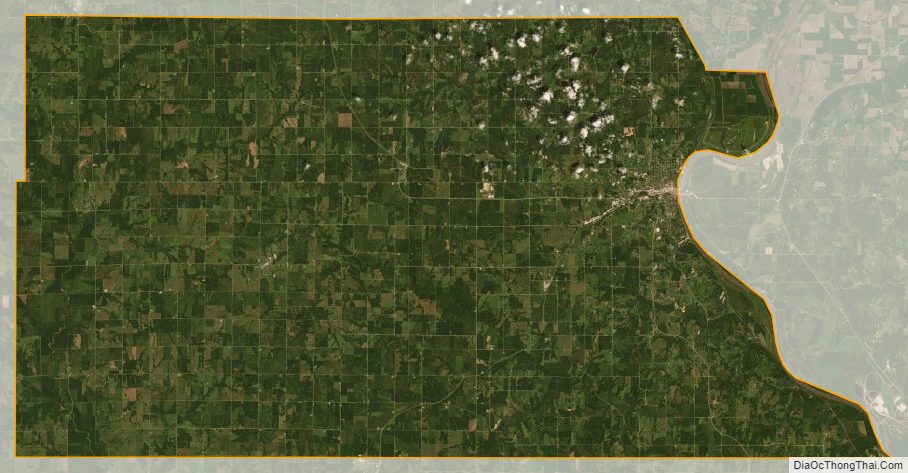
Atchison County Satellite Map
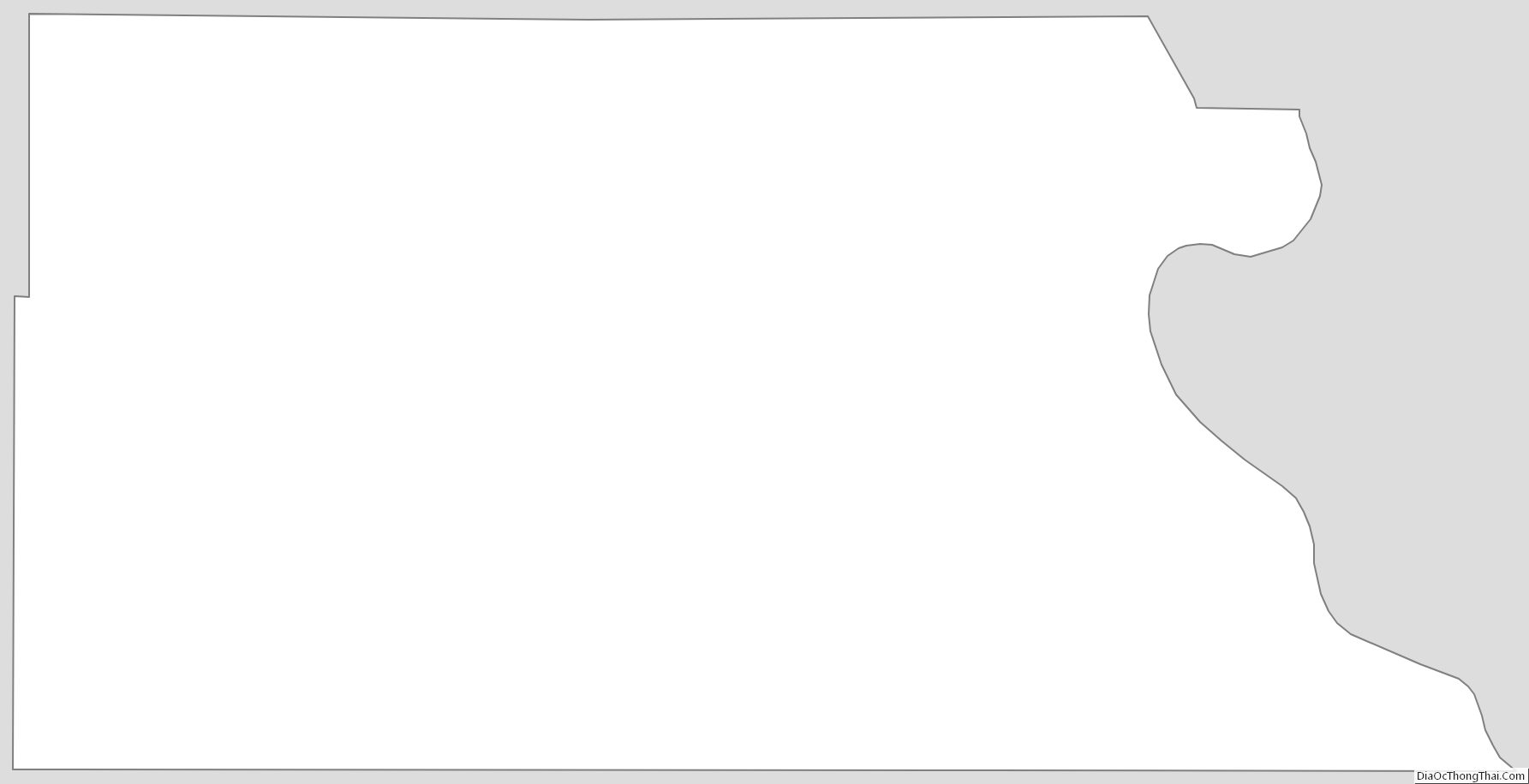
Atchison County Outline Map