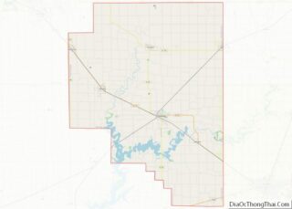
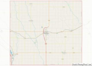
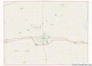
Moultrie County is a county in the U.S. state of Illinois. According to the 2020 United States Census, its population was 14,526. Its county seat is Sullivan. The name is pronounced as in “mole tree”, unlike the pronunciation of its namesake, the South Carolinian Revolutionary War hero William Moultrie. Moultrie County overview: Name: Moultrie County ... Read more
Map of US Counties
Scott County is a county located in the U.S. state of Illinois. According to the 2010 census, it had a population of 5,355, making it the fourth-least populous county in Illinois. Its county seat is Winchester. Scott County is part of the Jacksonville, IL Micropolitan Statistical Area, which is also included in the Springfield-Jacksonville-Lincoln, IL ... Read more
Woodford County is a county located in the state of Illinois. The 2020 United States Census listed its population at 38,467. Its county seat is Eureka. Woodford County is part of the Peoria, IL, Metropolitan Statistical Area. Its name comes from General William Woodford, an officer of the American Revolutionary War who served at the ... Read more
Dearborn County overview: Name: Dearborn County FIPS code: 18-029 State: Indiana Founded: 1803 Named for: Dr. Henry Dearborn Seat: Lawrenceburg Largest city: Lawrenceburg Total Area: 307.42 sq mi (796.2 km²) Land Area: 305.03 sq mi (790.0 km²) Total Population: 50,679 Population Density: 164/sq mi (63/km²) Dearborn County location map. Where is Dearborn County? History In 1803, following Ohio’s admission to the Union, ... Read more
Hendricks County is a county in the U.S. state of Indiana. As of the 2010 United States Census, the population was 145,448. The county seat is the town of Danville. Hendricks County is the third largest county in the Indianapolis-Carmel–Anderson, IN Metropolitan Statistical Area. Hendricks County is currently the second fastest-growing county in Indiana and ... Read more
Lawrence County is a county located in the U.S. state of Indiana. As of 2010, the population was 46,134. The county seat is Bedford. Lawrence County comprises the Bedford, IN Micropolitan Statistical Area. Lawrence County overview: Name: Lawrence County FIPS code: 18-093 State: Indiana Founded: 1818 Named for: James Lawrence Largest city: Bedford (population and ... Read more
Pike County is a county in the southwest portion of the U.S. state of Indiana. As of the 2010 United States census, the population was 12,845. The county seat is Petersburg. It contains the geographic point representing median center of US population in 2010. Pike County is part of the Jasper Micropolitan Statistical Area. Pike ... Read more
Tippecanoe County is located in the west-central portion of the U.S. state of Indiana about 22 miles east of the Illinois state line and less than 50 miles from the Chicago and the Indianapolis metro areas. As of the 2010 census, the population was 172,780. The county seat and largest city is Lafayette. It was ... Read more
Allamakee County (/ˈæləməˌki/) is the northeasternmost county in the U.S. state of Iowa. As of the 2020 census, the population was 14,061. Its county seat is Waukon. Allamakee County overview: Name: Allamakee County FIPS code: 19-005 State: Iowa Founded: 1847 Seat: Waukon Largest city: Waukon Total Area: 659 sq mi (1,710 km²) Land Area: 639 sq mi (1,660 km²) Total Population: ... Read more
Chickasaw County is a county located in the U.S. state of Iowa. As of the 2020 census, the population was 12,012. Its county seat is New Hampton. The county was named for the southern Indian Nation whose chief was Bradford. Chickasaw County overview: Name: Chickasaw County FIPS code: 19-037 State: Iowa Founded: January 15, 1851 ... Read more
Franklin County is a county located in the U.S. state of Iowa. As of the 2020 census, the population was 10,019. The county seat is Hampton. The county was formed on January 15, 1851 and named after Benjamin Franklin. Franklin County overview: Name: Franklin County FIPS code: 19-069 State: Iowa Founded: 1851 Named for: Benjamin ... Read more
Jefferson County is a county located in the U.S. state of Iowa. As of the 2020 United States Census, the population was 15,663. The county seat is Fairfield. The county was formed in January 1839, and was named for U.S. President Thomas Jefferson. Jefferson County comprises the Fairfield, IA Micropolitan Statistical Area. Jefferson County overview: ... Read more
