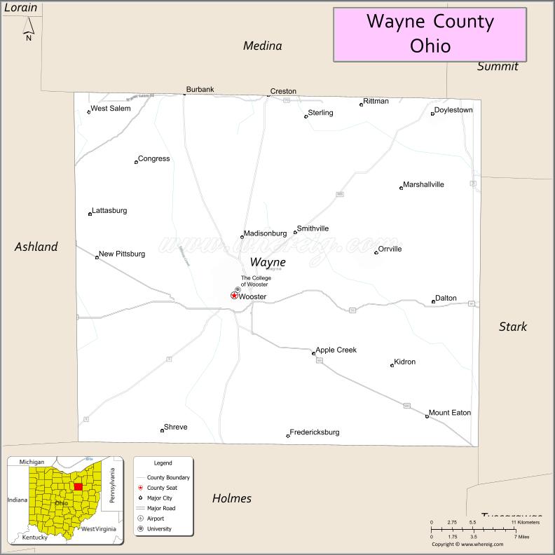
Wayne County is a county in the U.S. state of Ohio. As of the 2020 census, the population was 116,894. Its county seat is Wooster. The county is named for General “Mad” Anthony Wayne. Wayne County comprises the Wooster, OH Micropolitan Statistical Area.
| Name: | Wayne County |
|---|---|
| FIPS code: | 39-169 |
| State: | Ohio |
| Founded: | 1812 |
| Named for: | General Anthony Wayne |
| Seat: | Wooster |
| Largest city: | Wooster |
| Total Area: | 557 sq mi (1,440 km²) |
| Land Area: | 555 sq mi (1,440 km²) |
| Total Population: | 116,894 |
| Population Density: | 210/sq mi (81/km²) |
| Time zone: | UTC−5 (Eastern) |
| Summer Time Zone (DST): | UTC−4 (EDT) |
| Website: | www.wayneohio.org |
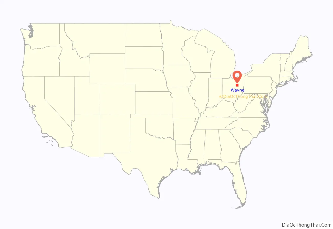
Wayne County location map. Where is Wayne County?
History
Wayne County as it exists today was described in legislation in 1808 but was not formally organized until January 1812, with effect from March 1. An earlier Wayne County, created by the government of the Northwest Territory in 1796, included much of northern Ohio and all of the lower peninsula of Michigan. That Wayne County is now part of Michigan.
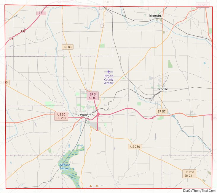
Wayne County Road Map
Geography
According to the U.S. Census Bureau, the county has a total area of 557 square miles (1,440 km), of which 555 square miles (1,440 km) is land and 1.9 square miles (4.9 km) (0.3%) is water.
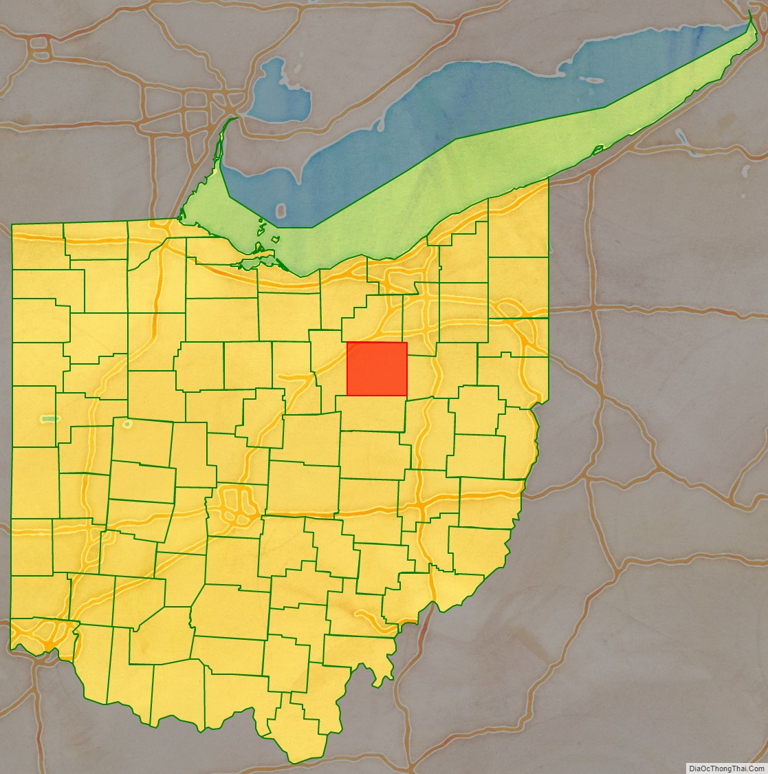
Adjacent counties
- Medina County (north)
- Summit County (northeast)
- Stark County (east)
- Holmes County (south)
- Ashland County (west)
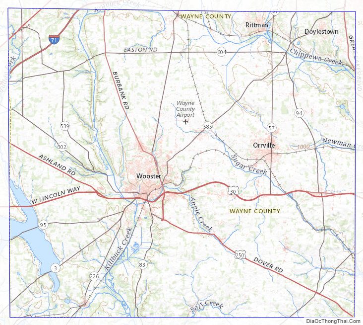
Wayne County Topographic Map
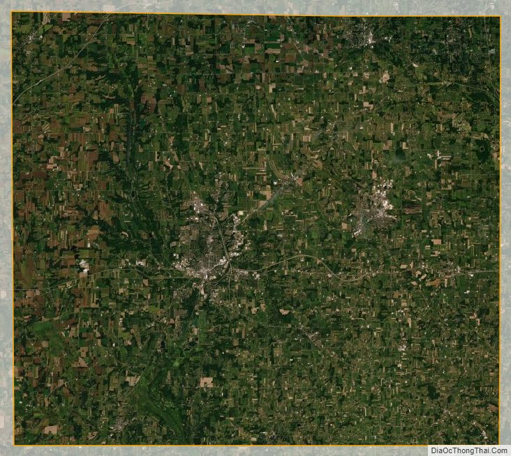
Wayne County Satellite Map
Wayne County Outline Map