Wooster (/ˈwʊstər/ WUUS-tər) is the county seat of Wayne County, Ohio, United States. Located in northeastern Ohio, the city lies approximately 50 mi (80 km) south-southwest of Cleveland, 35 mi (56 km) southwest of Akron and 30 mi (48 km) west of Canton. The population was 27,232 at the 2020 census. It is the largest in Wayne County, and the center of the Wooster micropolitan area. Wooster has the main branch and administrative offices of the Wayne County Public Library, and is home to the private College of Wooster. fDi magazine ranked Wooster among North America’s top 10 micro cities for business friendliness and strategy in 2013.
| Name: | Wooster city |
|---|---|
| LSAD Code: | 25 |
| LSAD Description: | city (suffix) |
| State: | Ohio |
| County: | Wayne County |
| Founded: | 1808 |
| Elevation: | 997 ft (304 m) |
| Total Area: | 17.37 sq mi (44.98 km²) |
| Land Area: | 17.32 sq mi (44.86 km²) |
| Water Area: | 0.05 sq mi (0.12 km²) |
| Total Population: | 27,232 |
| Population Density: | 1,572.20/sq mi (607.04/km²) |
| ZIP code: | 44691 |
| Area code: | 330 |
| FIPS code: | 3986548 |
| GNISfeature ID: | 1049345 |
| Website: | https://www.woosteroh.com/ |
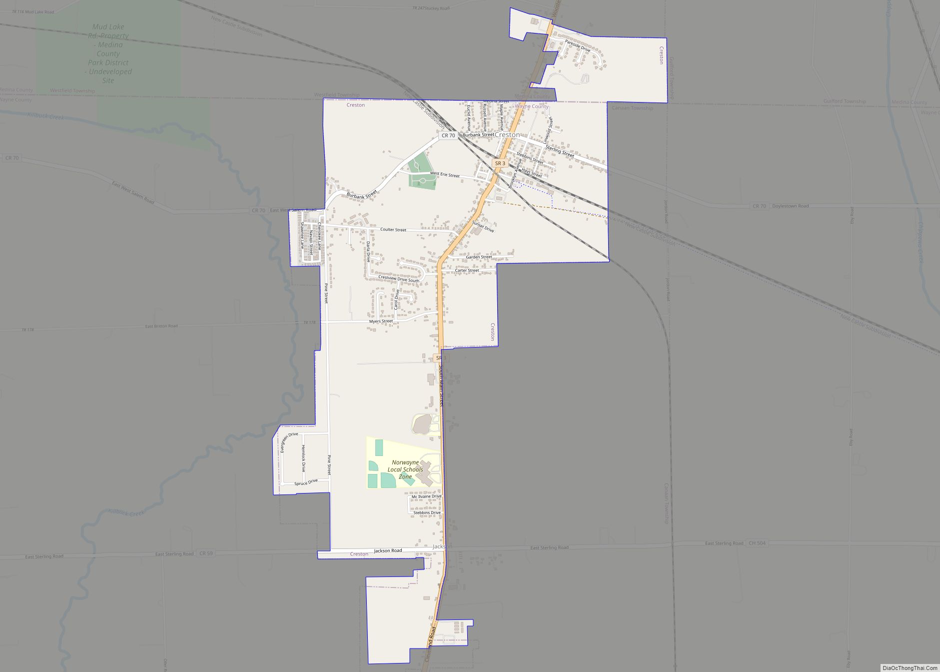
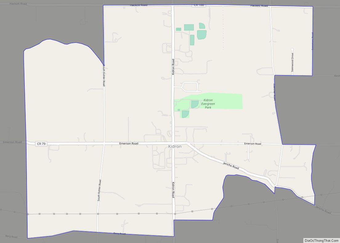
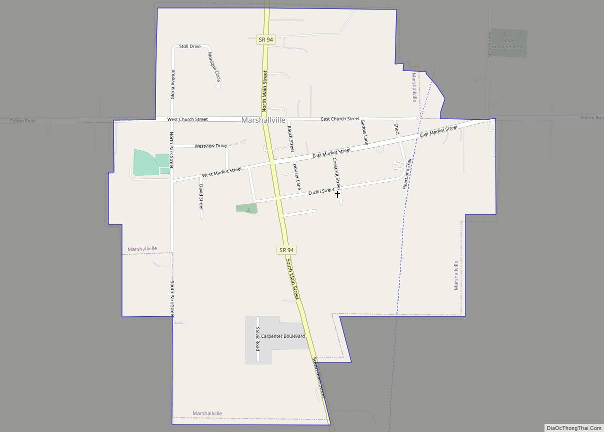
Online Interactive Map
Click on ![]() to view map in "full screen" mode.
to view map in "full screen" mode.
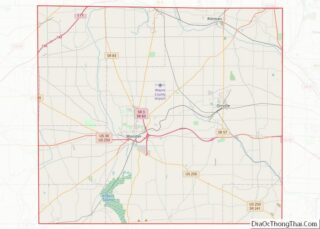
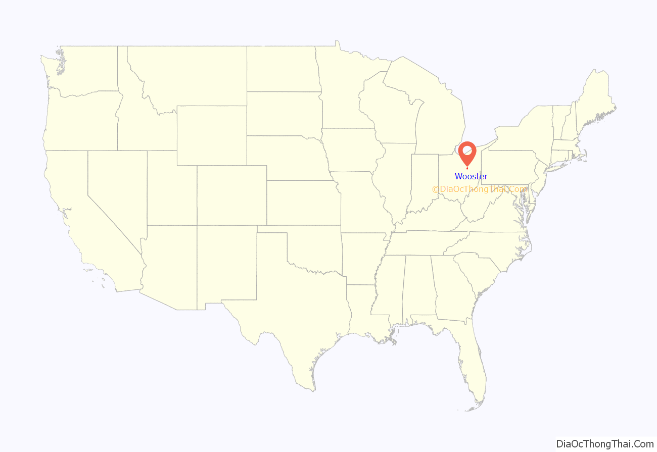
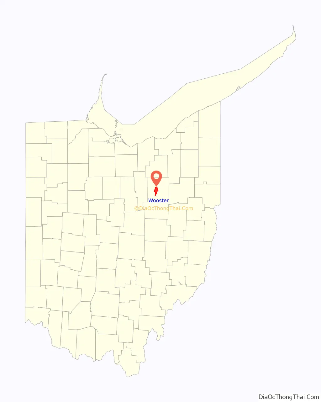
Wooster location map. Where is Wooster city?
History
Wooster was established in 1808 by John Bever, William Henry, and Joseph Larwill and named after David Wooster, a general in the American Revolutionary War.
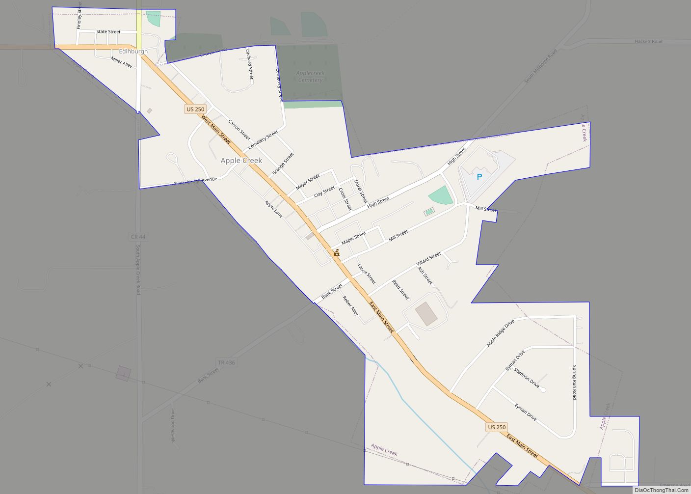
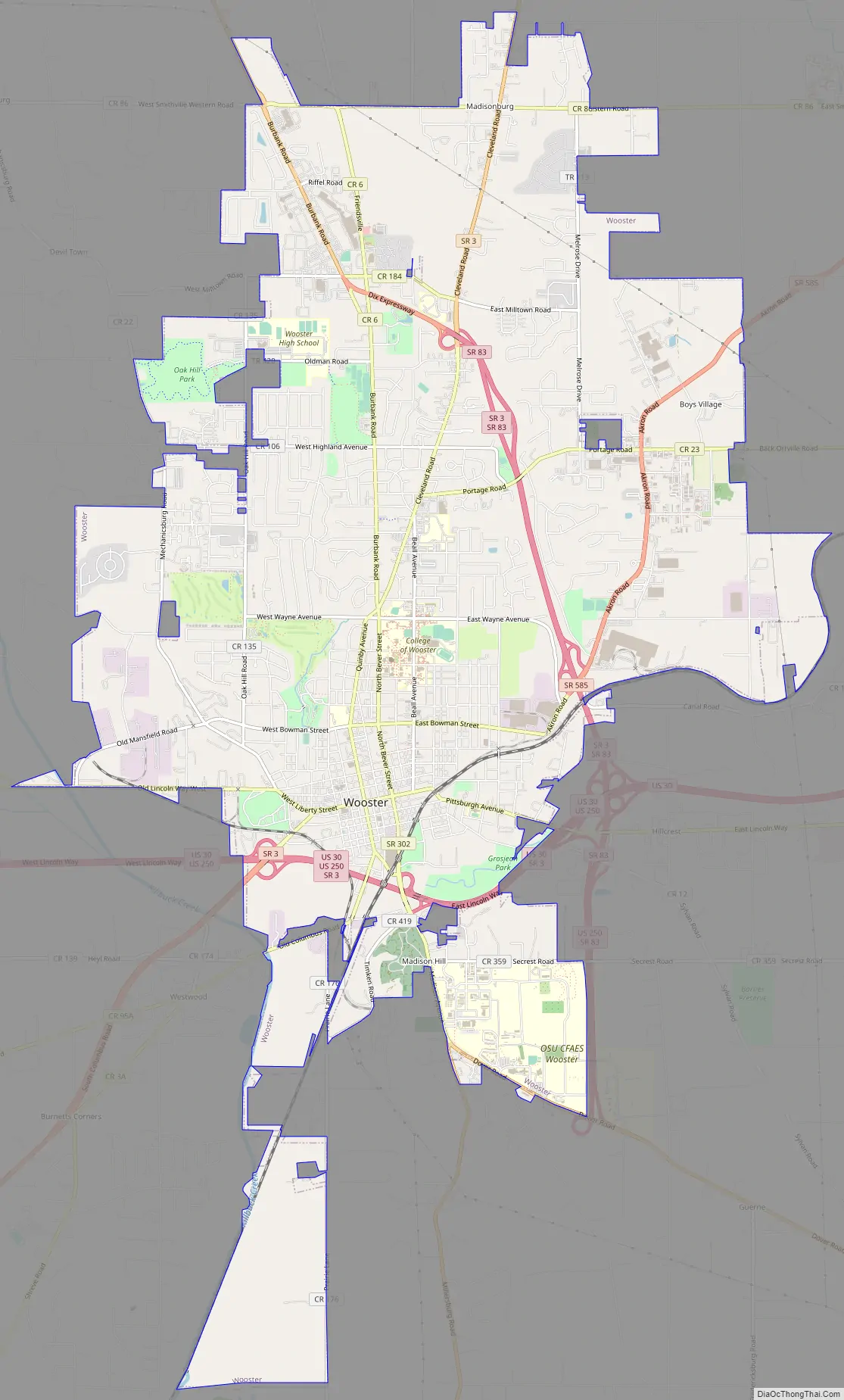
Wooster Road Map
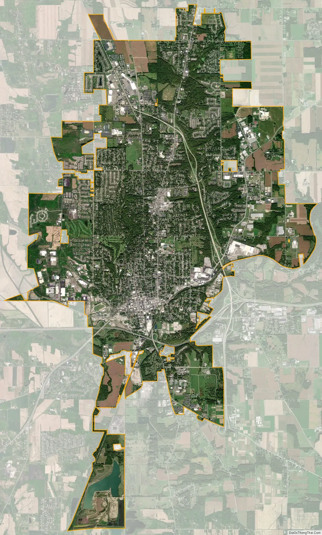
Wooster city Satellite Map
Geography
According to the United States Census Bureau, the city has a total area of 16.36 square miles (42.37 km), of which, 16.31 square miles (42.24 km) is land and 0.05 square miles (0.13 km) is water.
Geology
The local bedrock consists of the Cuyahoga Formation (shale) and the overlying Logan Formation (sandstone and conglomerate), both Lower Carboniferous and rich in fossils.
See also
Map of Ohio State and its subdivision:- Adams
- Allen
- Ashland
- Ashtabula
- Athens
- Auglaize
- Belmont
- Brown
- Butler
- Carroll
- Champaign
- Clark
- Clermont
- Clinton
- Columbiana
- Coshocton
- Crawford
- Cuyahoga
- Darke
- Defiance
- Delaware
- Erie
- Fairfield
- Fayette
- Franklin
- Fulton
- Gallia
- Geauga
- Greene
- Guernsey
- Hamilton
- Hancock
- Hardin
- Harrison
- Henry
- Highland
- Hocking
- Holmes
- Huron
- Jackson
- Jefferson
- Knox
- Lake
- Lake Erie
- Lawrence
- Licking
- Logan
- Lorain
- Lucas
- Madison
- Mahoning
- Marion
- Medina
- Meigs
- Mercer
- Miami
- Monroe
- Montgomery
- Morgan
- Morrow
- Muskingum
- Noble
- Ottawa
- Paulding
- Perry
- Pickaway
- Pike
- Portage
- Preble
- Putnam
- Richland
- Ross
- Sandusky
- Scioto
- Seneca
- Shelby
- Stark
- Summit
- Trumbull
- Tuscarawas
- Union
- Van Wert
- Vinton
- Warren
- Washington
- Wayne
- Williams
- Wood
- Wyandot
- Alabama
- Alaska
- Arizona
- Arkansas
- California
- Colorado
- Connecticut
- Delaware
- District of Columbia
- Florida
- Georgia
- Hawaii
- Idaho
- Illinois
- Indiana
- Iowa
- Kansas
- Kentucky
- Louisiana
- Maine
- Maryland
- Massachusetts
- Michigan
- Minnesota
- Mississippi
- Missouri
- Montana
- Nebraska
- Nevada
- New Hampshire
- New Jersey
- New Mexico
- New York
- North Carolina
- North Dakota
- Ohio
- Oklahoma
- Oregon
- Pennsylvania
- Rhode Island
- South Carolina
- South Dakota
- Tennessee
- Texas
- Utah
- Vermont
- Virginia
- Washington
- West Virginia
- Wisconsin
- Wyoming