San Francisco (/ˌsæn frənˈsɪskoʊ/; Spanish for “Saint Francis”), officially the City and County of San Francisco, is a commercial, financial, and cultural center of Northern California. The city proper is the fourth most populous in California, with 808,437 residents as of 2022, and covers a land area of 46.9 square miles (121 square kilometers), at ... Read more
Popular US cities & places
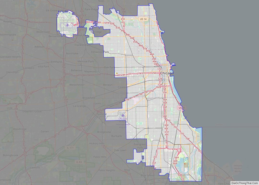
Chicago city overview: Name: Chicago city LSAD Code: 25 LSAD Description: city (suffix) State: Illinois County: Cook County, DuPage County Land Area: 227.73 sq mi (589.82 km²) Water Area: 6.80 sq mi (17.62 km²) Population Density: 12,059.84/sq mi (4,656.33/km²) FIPS code: 1714000 GNISfeature ID: 0428803 Website: chicago.gov Your Ultimate Chicago Map Collection: 1. Road Map of Chicago – Get around the city ... Read more
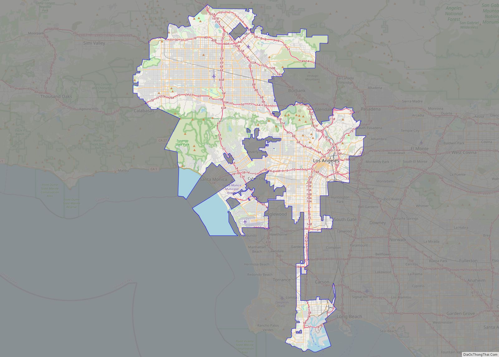
Los Angeles (US: /lɔːs ˈændʒələs/ (listen) lawss AN-jəl-əs; Spanish: Los Ángeles, Spanish pronunciation: [los ˈaŋxeles], lit. ’The Angels’), often referred to by its initials L.A., is the commercial, financial, and cultural center of Southern California. Los Angeles is the largest city in California, the second-most populous city in the United States after New York City, and one ... Read more
New York city overview: Name: New York city LSAD Code: 25 LSAD Description: city (suffix) State: New York County: Bronx County, Kings County, New York County, Queens County, Richmond County FIPS code: 3651000 Discover the best of New York City with our interactive map! Our New York City map collection features roads, highways, major landmarks, ... Read more
Houston (/ˈhjuːstən/ (listen); HEW-stən) is the most populous city in Texas and in the Southern United States. It is the fourth-most populous city in the United States after New York City, Los Angeles, and Chicago, and the sixth-most populous city in North America. With a population of 2,304,580 in 2020, Houston is located in Southeast ... Read more
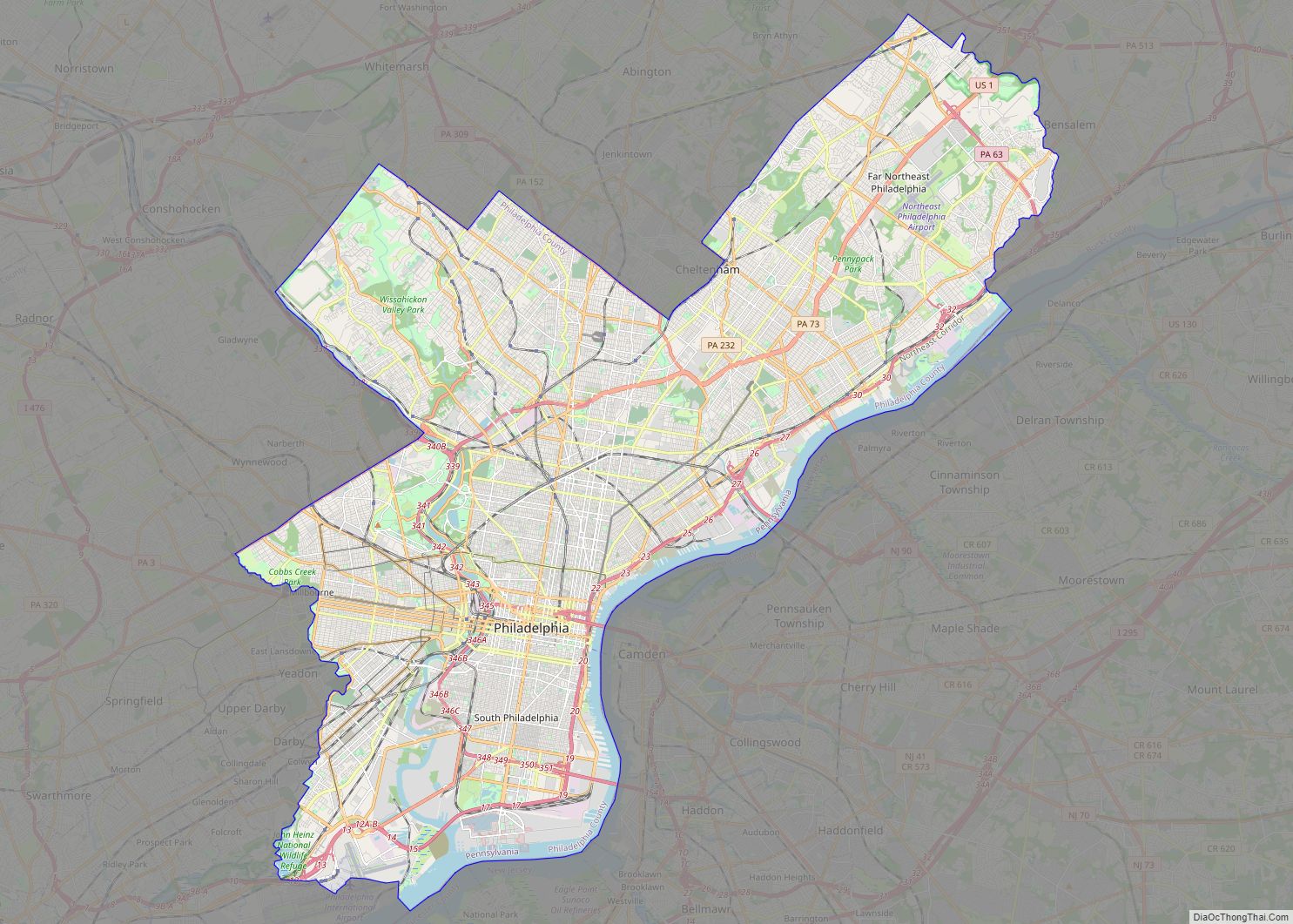
Philadelphia city overview: Name: Philadelphia city LSAD Code: 25 LSAD Description: city (suffix) State: Pennsylvania County: Philadelphia County Founded: 1682 Incorporated: October 25, 1701 Elevation: 39 ft (12 m) Land Area: 134.36 sq mi (347.98 km²) Water Area: 8.34 sq mi (21.61 km²) Population Density: 11,936.92/sq mi (4,608.86/km²) FIPS code: 4260000 GNISfeature ID: 1215531 Website: www.phila.gov This Philadelphia map collection showcases the city’s highways, ... Read more
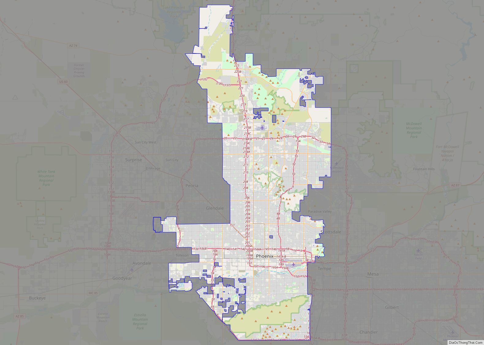
Phoenix (/ˈfiːnɪks/ FEE-niks; Navajo: Hoozdo; O’odham: S-ki:kigk; Spanish: Fénix or Fínix,; Walapai: Banyà:nyuwá) is the capital and most populous city of the U.S. state of Arizona, with 1,608,139 residents as of 2020. It is the fifth-most populous city in the United States, the most populous state capital in the country, and the only U.S. state ... Read more
Dallas (/ˈdæləs/) is the third-largest city in Texas and the largest city in the Dallas–Fort Worth metroplex, the fourth-largest metropolitan area in the United States at 7.5 million people. It is the largest city in and seat of Dallas County with portions extending into Collin, Denton, Kaufman, and Rockwall counties. With a 2020 census population of ... Read more
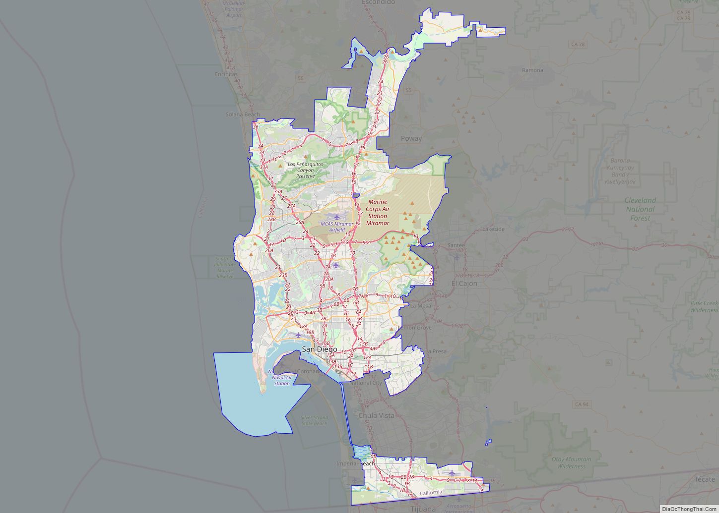
San Diego (Spanish for ‘Saint Didacus’; /ˌsæn diˈeɪɡoʊ/ SAN dee-AY-goh, Spanish: [san ˈdjeɣo]) is a city on the Pacific Ocean coast of Southern California located immediately adjacent to the Mexico–United States border. With a 2020 population of 1,386,932, it is the eighth-most populous city in the United States, the second-most populous in California and the seat ... Read more
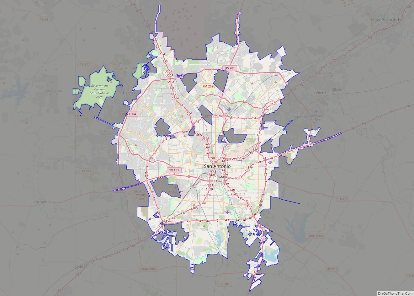
San Antonio city overview: Name: San Antonio city LSAD Code: 25 LSAD Description: city (suffix) State: Texas County: Bexar County, Comal County, Medina County Incorporated: June 5, 1837 Elevation: 650 ft (198 m) Land Area: 498.85 sq mi (1,292.02 km²) Water Area: 5.79 sq mi (14.98 km²) Population Density: 2,875.86/sq mi (1,110.37/km²) FIPS code: 4865000 Website: www.SanAntonio.gov San Antonio is a great city to ... Read more
Jacksonville is a city located on the Atlantic coast of northeastern Florida, the most populous city proper in the state and the second largest city by area in the contiguous United States as of 2020. It is the seat of Duval County, with which the city government consolidated in 1968. Consolidation gave Jacksonville its great ... Read more
Austin is the capital city of the U.S. state of Texas, as well as the seat and largest city of Travis County, with portions extending into Hays and Williamson counties. Incorporated on December 27, 1839, it is the 10th-most-populous city in the United States, the fourth-most-populous city in Texas, and the second-most-populous state capital city. ... Read more

