Adams County is a county in the U.S. state of Washington. As of the 2020 census, the population was 20,613. The county seat is at Ritzville, and its largest city is Othello. The county was formed out of Whitman County in November 1883 and is named after John Adams, the second President of the United States.
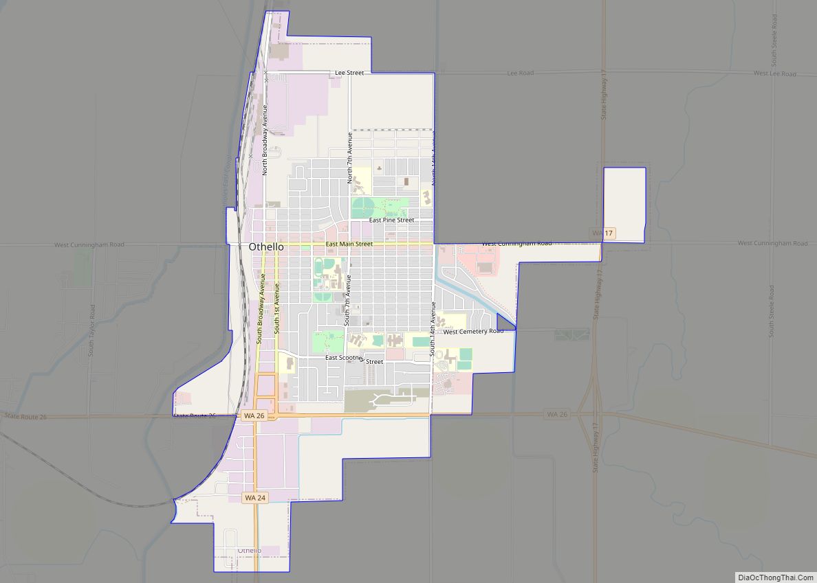
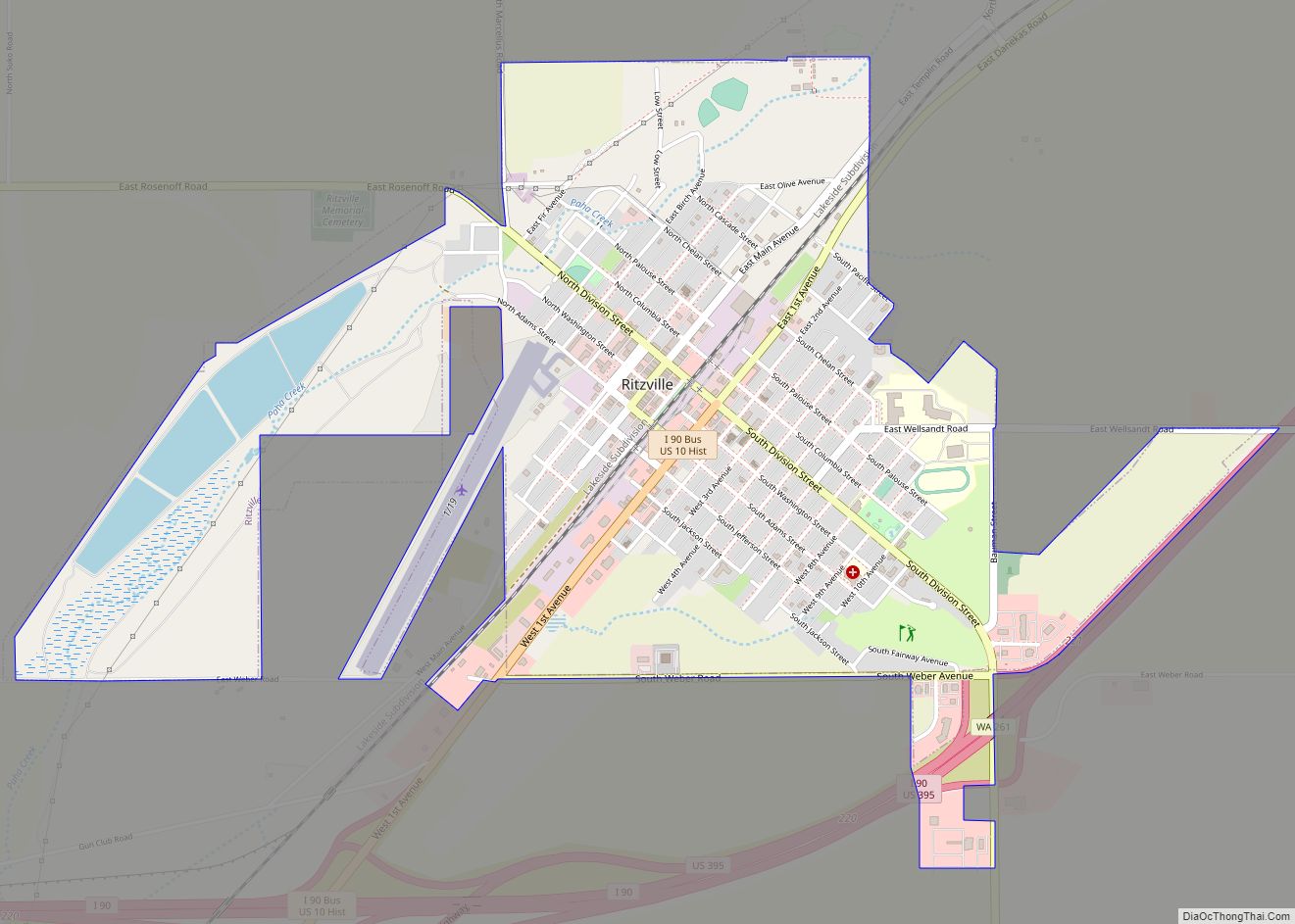
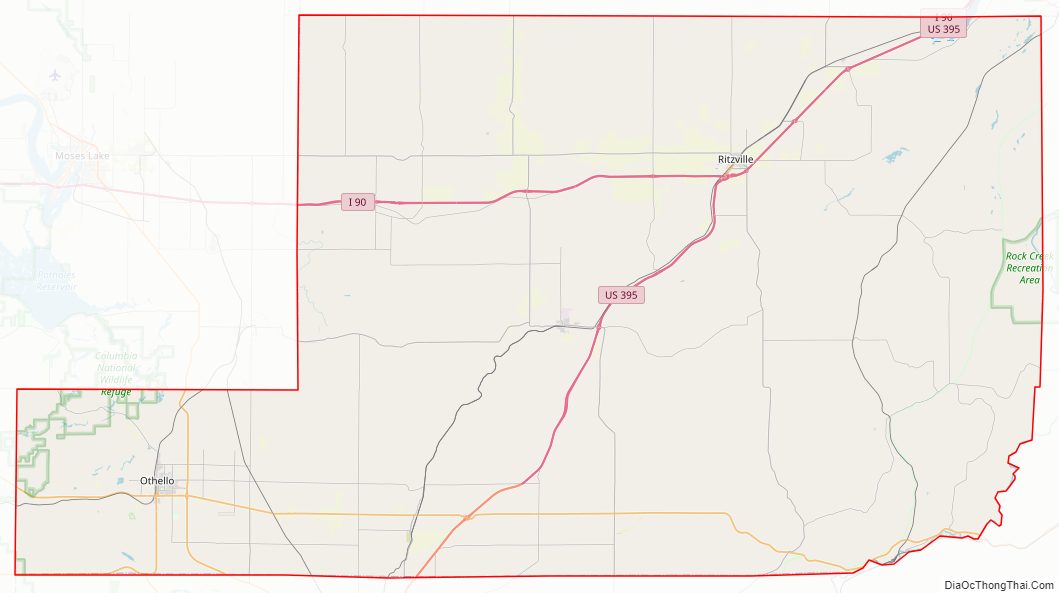
Adams County’s two most populous cities are Ritzville and Othello. Ritzville is located in the northeastern corner of the county at the junction of I-90 and US 395, making it a popular stop for travelers. Ritzville is an hour’s drive from Spokane. Othello is located in the southwestern panhandle of the county.
| Name: | Adams County |
|---|---|
| FIPS code: | 53-001 |
| State: | Washington |
| Founded: | November 28, 1883 |
| Named for: | John Adams |
| Seat: | Ritzville |
| Largest city: | Othello |
| Total Area: | 1,930 sq mi (5,000 km²) |
| Land Area: | 1,925 sq mi (4,990 km²) |
| Total Population: | 20,613 |
| Population Density: | 10/sq mi (4/km²) |
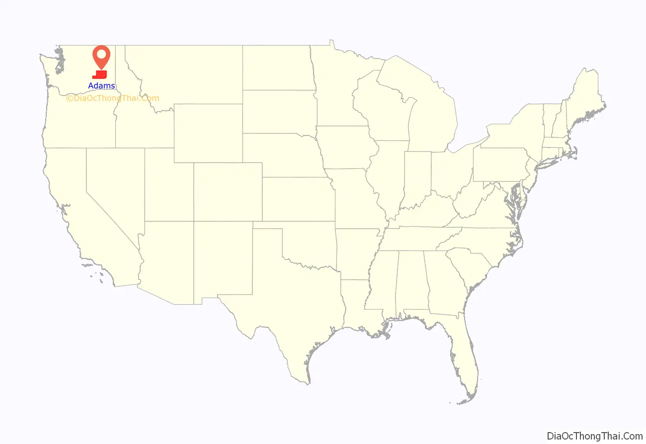
Adams County location map. Where is Adams County?
History
The Governor of Washington Territory approved the proposed Adams County Articles of Incorporation on November 28, 1883. At that time Adams County and Franklin County were formed out of territory from Whitman County. The first County meeting (December 19, 1883) established Ritzville as the county seat. By 1885 the county offices were established, in a wood-frame house purchased for the purpose in Ritzville.
The 1890 census showed that Adams County boasted 2,098 residents. The growing population justified a purpose-built courthouse, so construction began on February 23, 1892, for a two-story brick building with a tower and a basement.
Wheat farming was a main focus of early residents. In 1909 Adams County proclaimed itself “bread basket of the world,” with Ritzville reportedly being the world’s largest inland wheat exporter.
1905 – “A number of officials also appeared before the board [of county commissioners] and asked that an addition be built to the court house for the accommodation of the auditor and treasurer who require more room on account of the increase in business.” The architectural firm of Preusse and Zittel of Spokane began drawing plans for the proposed addition in March 1905. Adams County Commissioners (Joseph M. Batten, Henry J. Allert and Fred Kembel) approved the new addition in May 1905.
In 1905 the County courthouse was expanded. Work was completed in October 1905.
Wheat producers in Adams County used dryland farming in order to overcome the relative aridity of the county’s climate. They let the wheatfields lie fallow in alternate years, holding sufficient moisture to raise profitable crops.
The county’s population decreased significantly during the first half of the twentieth century, dropping by nearly five thousand from 1910 to 1940.
In 1940 the courthouse was replaced by a three-story building, with a two-story jail at the rear. Construction was completed in December 1940.
In 1943 the Federal government approved the Columbia Basin Project. It began impacting Adams County in 1946, when construction of the East Low Canal and the Potholes East Canal began. This work, and the ensuing increased agricultural production from irrigated crops, led to continual population increases. The population had increased by 12,500 from 1940 to 2010.
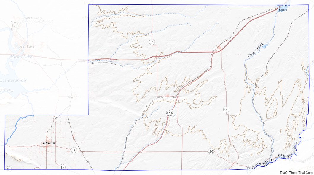
Adams County Road Map
Geography
According to the United States Census Bureau, the county has a total area of 1,930 square miles (5,000 km), of which 1,925 square miles (4,990 km) is land and 4.9 square miles (13 km) (0.3%) is water.
Major highways
- Interstate 90
- U.S. Route 395
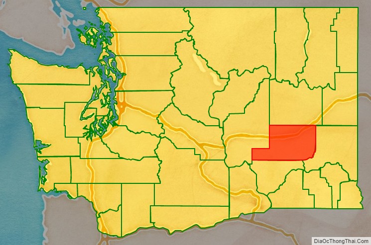
Adjacent counties
- Lincoln County – north
- Whitman County – east
- Franklin County – south
- Grant County – west
National protected areas
- Columbia National Wildlife Refuge (part)
- Saddle Mountain National Wildlife Refuge (part)
Adams County Topographic Map
Adams County Satellite Map
Adams County Outline Map