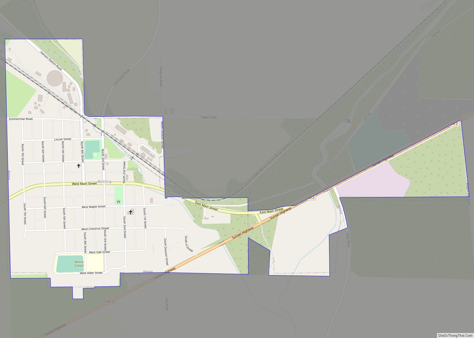
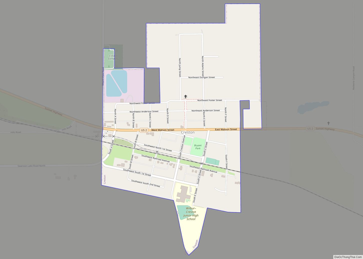
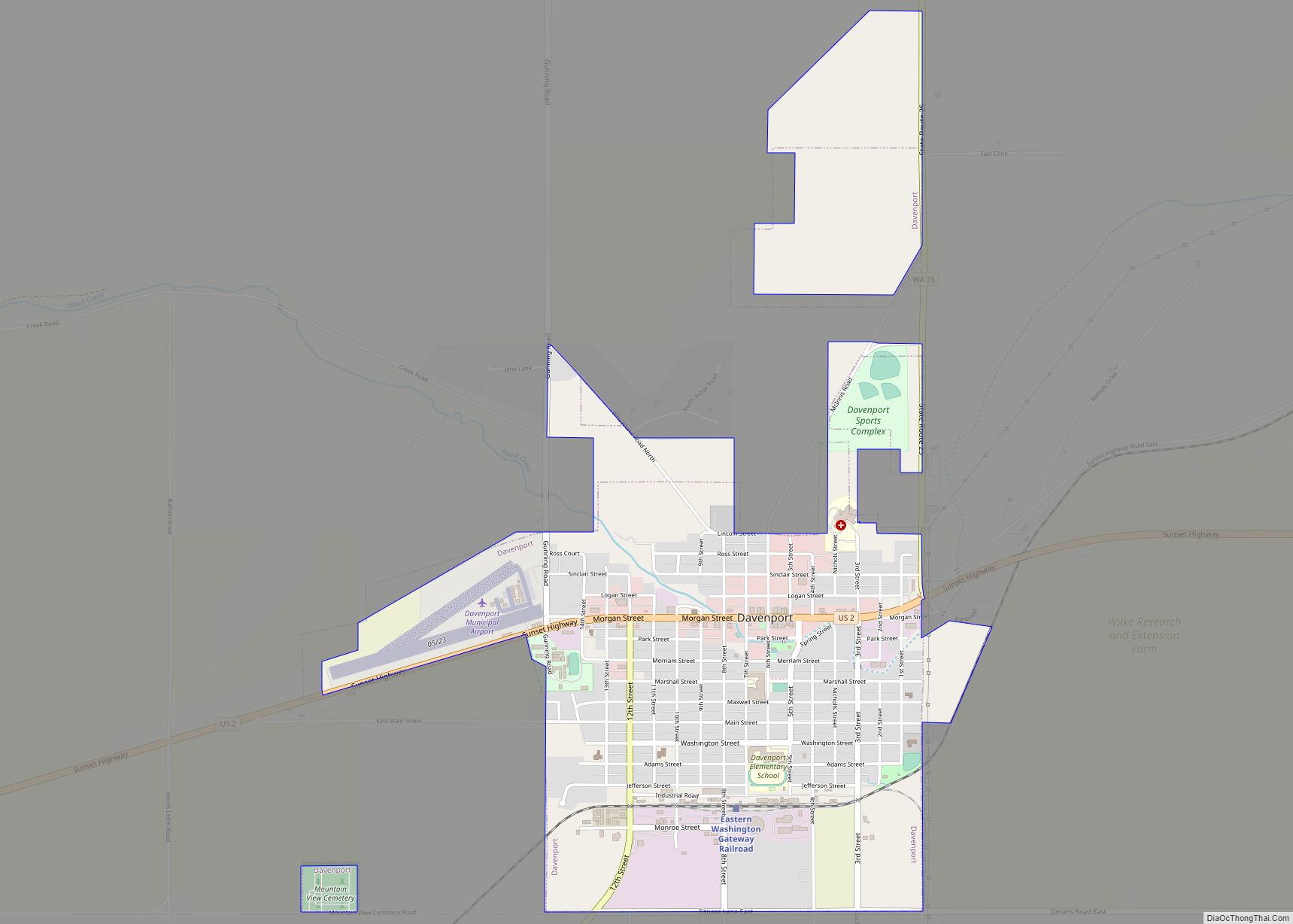
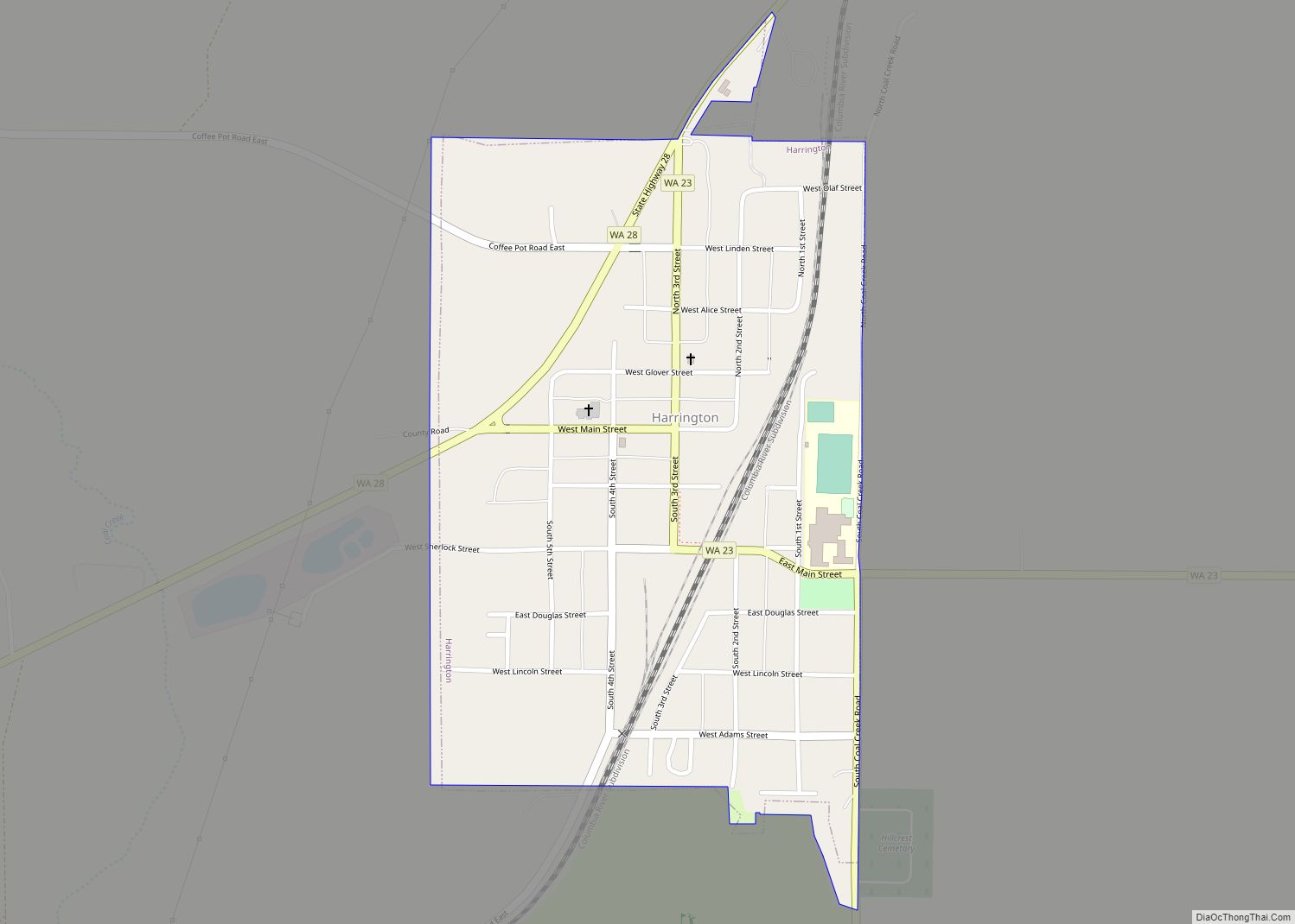
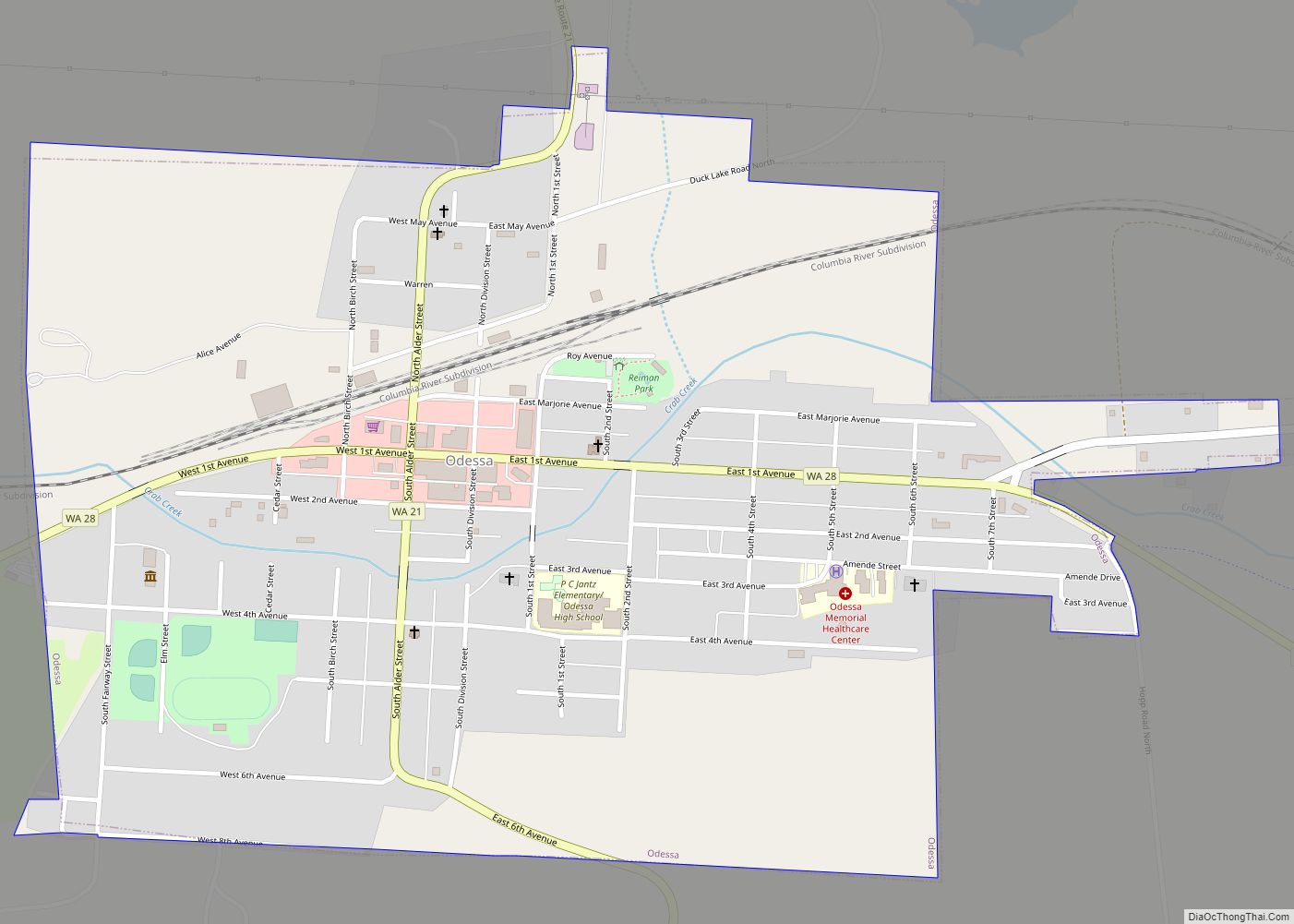
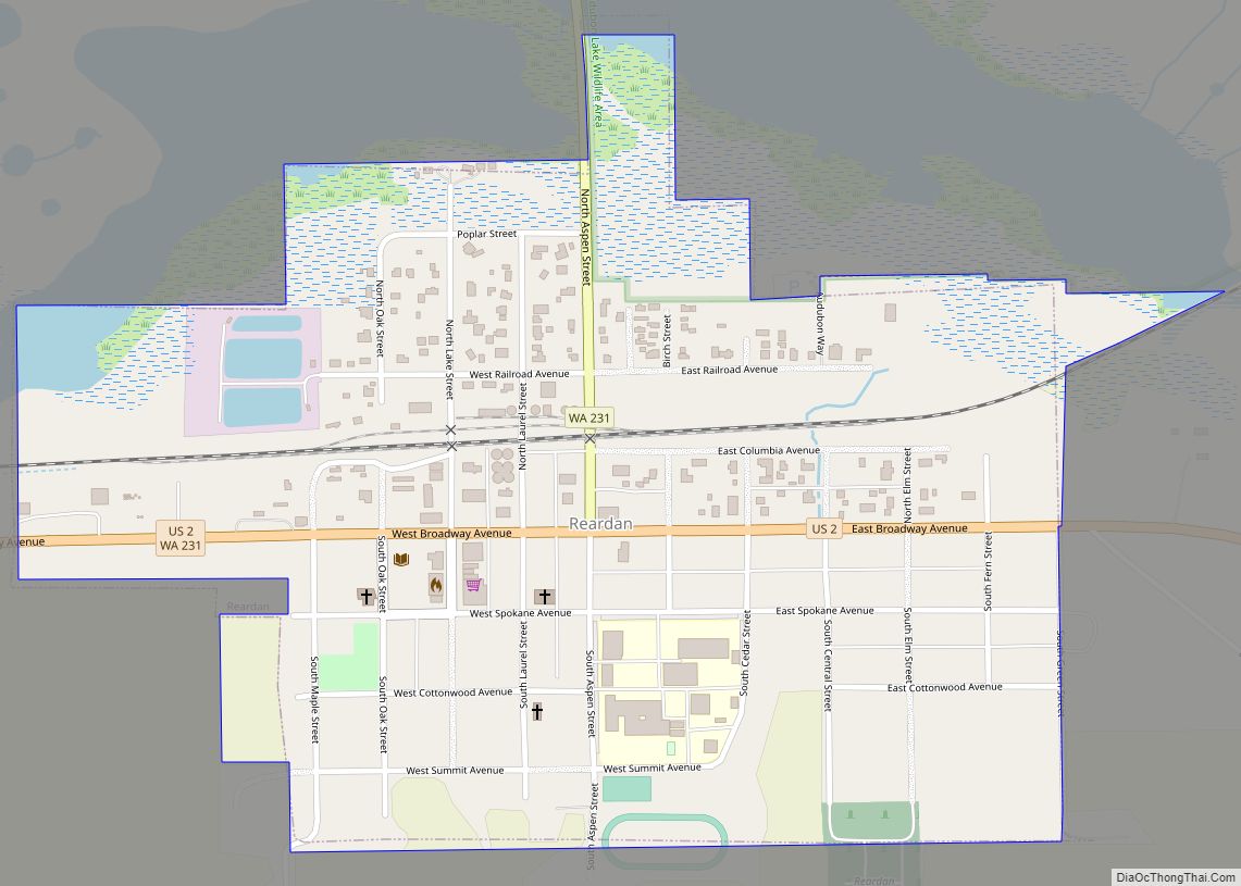
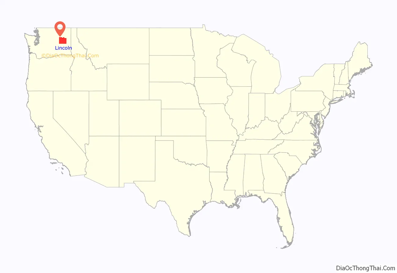
Lincoln County is a county located in the U.S. state of Washington. As of the 2020 census, the population was 10,876, making it the fifth-least populous county in the state. The county seat and largest city is Davenport.
Lincoln County was created out of Whitman County in November 1883. It is named for Abraham Lincoln, the 16th president of the United States.
| Name: | Lincoln County |
|---|---|
| FIPS code: | 53-043 |
| State: | Washington |
| Founded: | November 24, 1883 |
| Named for: | Abraham Lincoln |
| Seat: | Davenport |
| Largest city: | Davenport |
| Total Area: | 2,339 sq mi (6,060 km²) |
| Land Area: | 2,310 sq mi (6,000 km²) |
| Total Population: | 10,876 |
| Population Density: | 4.4/sq mi (1.7/km²) |
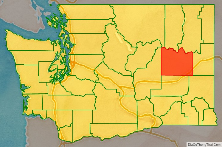
Lincoln County location map. Where is Lincoln County?
History
In 1883, Lincoln County was created from a portion of Spokane County, and four days later a portion of its area was peeled off to create Douglas County. There have been no further alterations to its boundary since that time. Its 2,317 square miles make it #8 in size in the state.
Centuries ago, the area now covered by Lincoln County contained an east–west passageway used by indigenous peoples. A spring near the present-day Davenport created a large overnight camping place.
The early exploration of the Northwest Territory by Lewis and Clark did not reach as far north as the Lincoln County expanses. The first recorded entry by European explorers was of David Thompson, a scout for the North West Company, who traversed the area in 1811. He noted physical locations in present-day Lincoln County. He described Hell Gate Rapid (calling it ‘Strong Rapid’). That stretch of the Columbia River is now tame, because of the presence of Grand Coulee Dam. After this, there was considerable exploration by fur trappers and others, including famed Scotch botanist David Douglas in 1826.
Possibly the first permanent non-indigenous resident of the area was R.M. Bacon, originally from Boston, who began raising cattle around Crab Creek in 1871. When the first post office was established in the county, Bacon was its postmaster.
Emigration into the area accelerated in the late 1870s. Completion of the Northern Pacific Railway in 1883, and construction of Fort Spokane (1880-1882) hastened settlement.
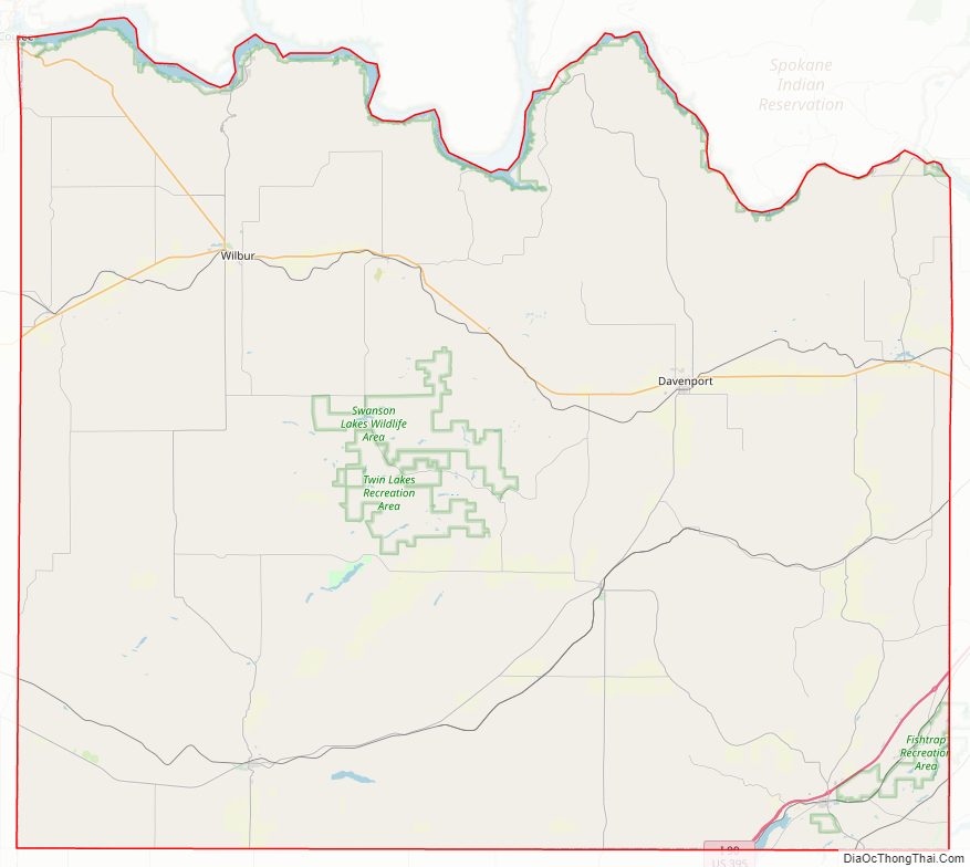
Lincoln County Road Map
Geography
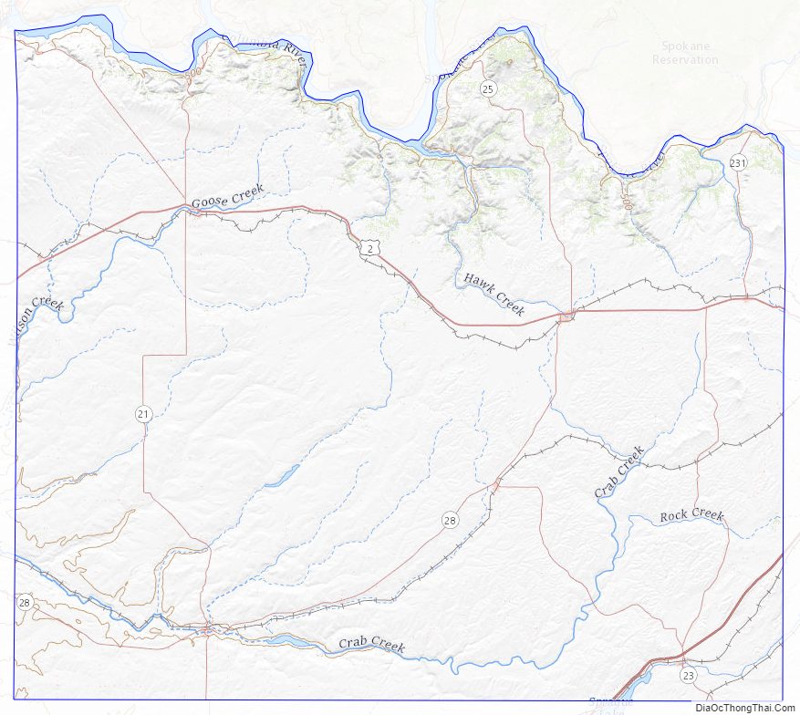
Lincoln County lies on the Channelled Scablands, known as the Big Bend Plateau. It lies 1,500-2,500 feet above sea level, with a system of channels eroded into bedrock by glacial rivers and streams, flowing from northeastern Washington.
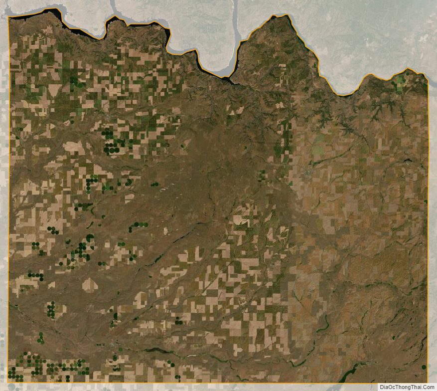
Lincoln County climate is hot/dry in the summer, cold/moderately humid in the winter. Due to the relatively level terrain (about 1,200 feet difference from lowest to highest elevations), temperatures tend to vary little from east to west. Precipitation varies from an arid condition in the western part of the county to semi-arid in the northeast. The entire area lies in the dry intermontane basin between the Cascades and the Rocky Mountain System. Precipitation (10-20 inches annual rainfall) is a major controlling factor in agriculture. Precipitation in the Big Bend region is highly variable; from 8 inches in the west to 20 inches in the northeast.
Monthly temperature averages range from below freezing in mid-winter to highs of 65-71 °F in mid-summer.
According to the United States Census Bureau, the county has a total area of 2,339 square miles (6,060 km), of which 2,310 square miles (6,000 km) is land and 29 square miles (75 km) (1.2%) is water.
Geographic features
- Channeled Scablands
- Columbia River
- Crab Creek
- Lilienthal Mountain, county high point
Major highways
- Interstate 90
- U.S. Route 2
- U.S. Route 395
Adjacent counties
- Okanogan County – northwest
- Ferry County – north
- Stevens County – northeast
- Spokane County – east
- Whitman County – southeast
- Adams County – south
- Grant County – west
National protected area
- Lake Roosevelt National Recreation Area (part)
Lincoln County Topographic Map
Lincoln County Satellite Map
Lincoln County Outline Map