Othello (/oʊˈθɛloʊ/) is a city in Adams County, Washington, United States. The population was 8,549 at the 2020 census, a 16 percent increase from 2010. It is located in the heart of the Columbia Basin Project, approximately 100 miles (160 km) southwest of Spokane. The city is 25 miles (40 km) south of Interstate 90 in Moses Lake and is connected by State Route 17 and State Route 26.
| Name: | Othello city |
|---|---|
| LSAD Code: | 25 |
| LSAD Description: | city (suffix) |
| State: | Washington |
| County: | Adams County |
| Elevation: | 1,060 ft (323 m) |
| Total Area: | 3.98 sq mi (10.31 km²) |
| Land Area: | 3.98 sq mi (10.31 km²) |
| Water Area: | 0.00 sq mi (0.00 km²) |
| Total Population: | 8,549 |
| Population Density: | 2,100/sq mi (830/km²) |
| ZIP code: | 99327, 99332, 99344 |
| Area code: | 509 |
| FIPS code: | 5352215 |
| GNISfeature ID: | 1507216 |
| Website: | othellowa.gov |
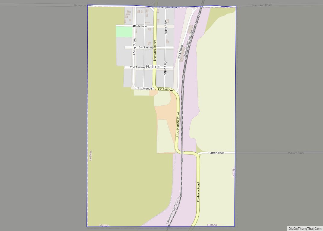
Online Interactive Map
Click on ![]() to view map in "full screen" mode.
to view map in "full screen" mode.
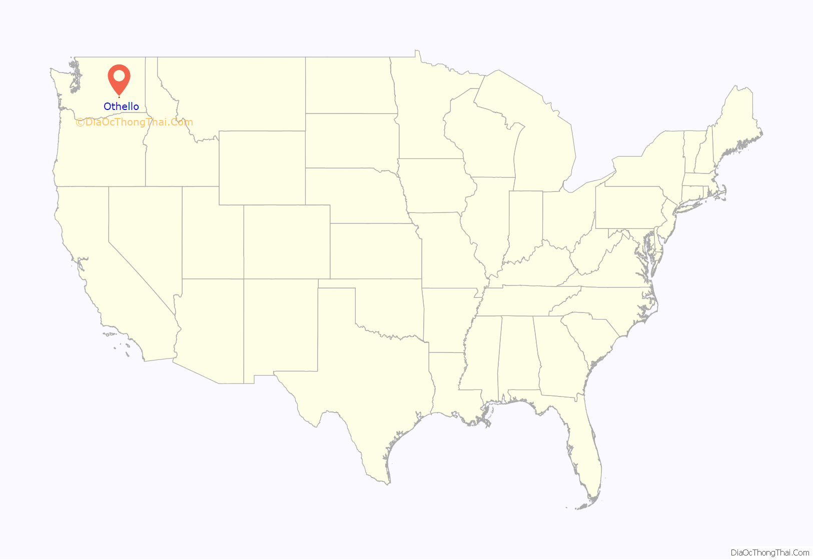
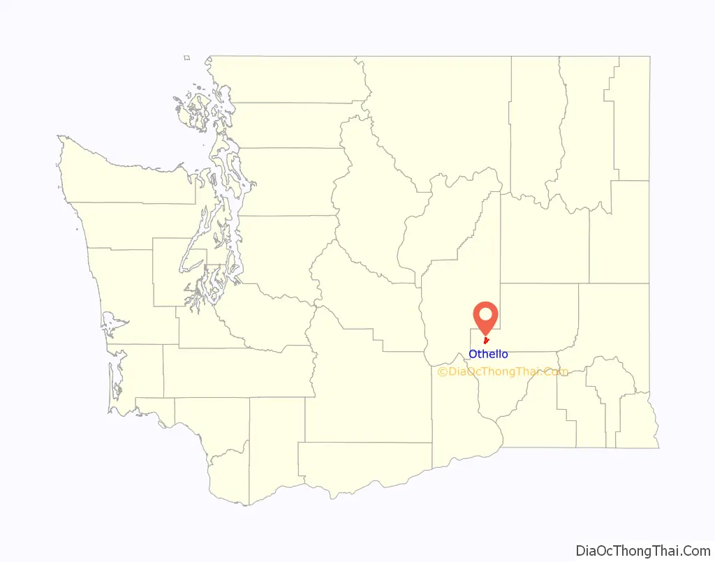
Othello location map. Where is Othello city?
History
The first white settlers in the area were two brothers, Ben and Sam Hutchinson, who built a cabin along the Crab Creek in 1884. An influx of homesteaders began after the start of the 20th century, and a post office was established in 1904. The post office was named Othello in a public contest after a post office also called Othello in Roane County, Tennessee.
The Chicago, Milwaukee, & St. Paul Railroad ran a track through Adams County in 1907. In 1912, a hotel was built for the railroad workers. That hotel would be later known as the Old Hotel and Art Gallery. The railroad officially platted the town as a stop, with water to feed the boilers of steam trains. They kept the name Othello and built a railyard and wooden roundhouse there. Although the roundhouse burned in 1919, it was replaced with a brick structure that lasted many years. Businesses and settlers continued to follow, and the town was incorporated on May 31, 1910. At the time the railroad was the eastern terminus of the second electrified district of the Milwaukee Road’s “Pacific Extension” route, which extended up to Tacoma, Washington. The railroad was abandoned in 1980 following the Milwaukee Road’s bankruptcy.
The Bureau of Reclamation located offices in Othello in 1947, which prevented the decline of this town with the decline of rail shipping after World War II. In the early 1950s, the Columbia Basin Project brought irrigation to the Othello area, increasing both agriculture and commerce. Prior to this, water came only from Crab Creek and from local wells. The water arrived via the Potholes East Canal between Billy Clapp Lake and Scootenay Reservoir in Franklin County. Once there was irrigation available, a land drawing was held in Othello. On May 31, 1952, 42 names were drawn (of more than 7000 submitted) for the privilege of purchasing this newly desirable acreage.
From 1951 to 1973, the 637th Radar Squadron operated the Othello Radar Station near the town. In 1958, an ice plant was opened in town to service railroad cars moving produce. Frozen food packaging came to town in the early 1960s, and has since become the main industry.
Since 1998, Othello has also been home to the Sandhill Crane Festival, celebrating the annual arrival of sandhill cranes to the nearby Columbia National Wildlife Refuge.
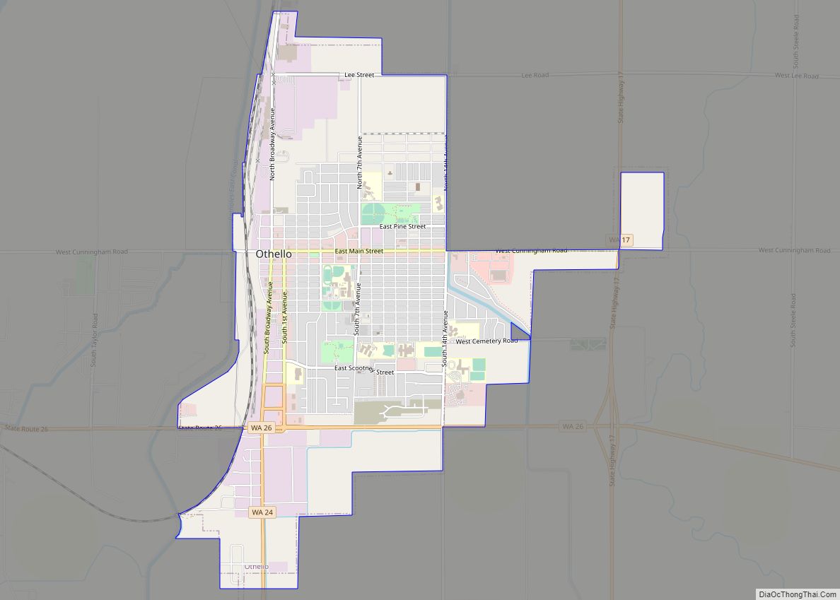
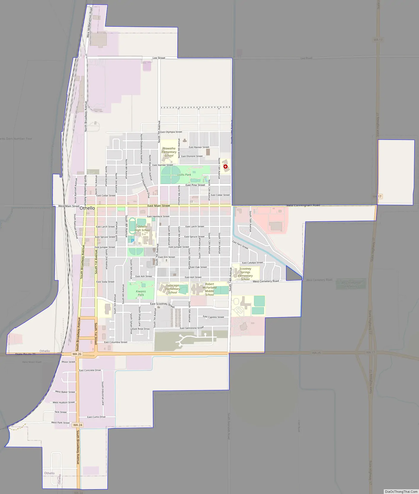
Othello Road Map
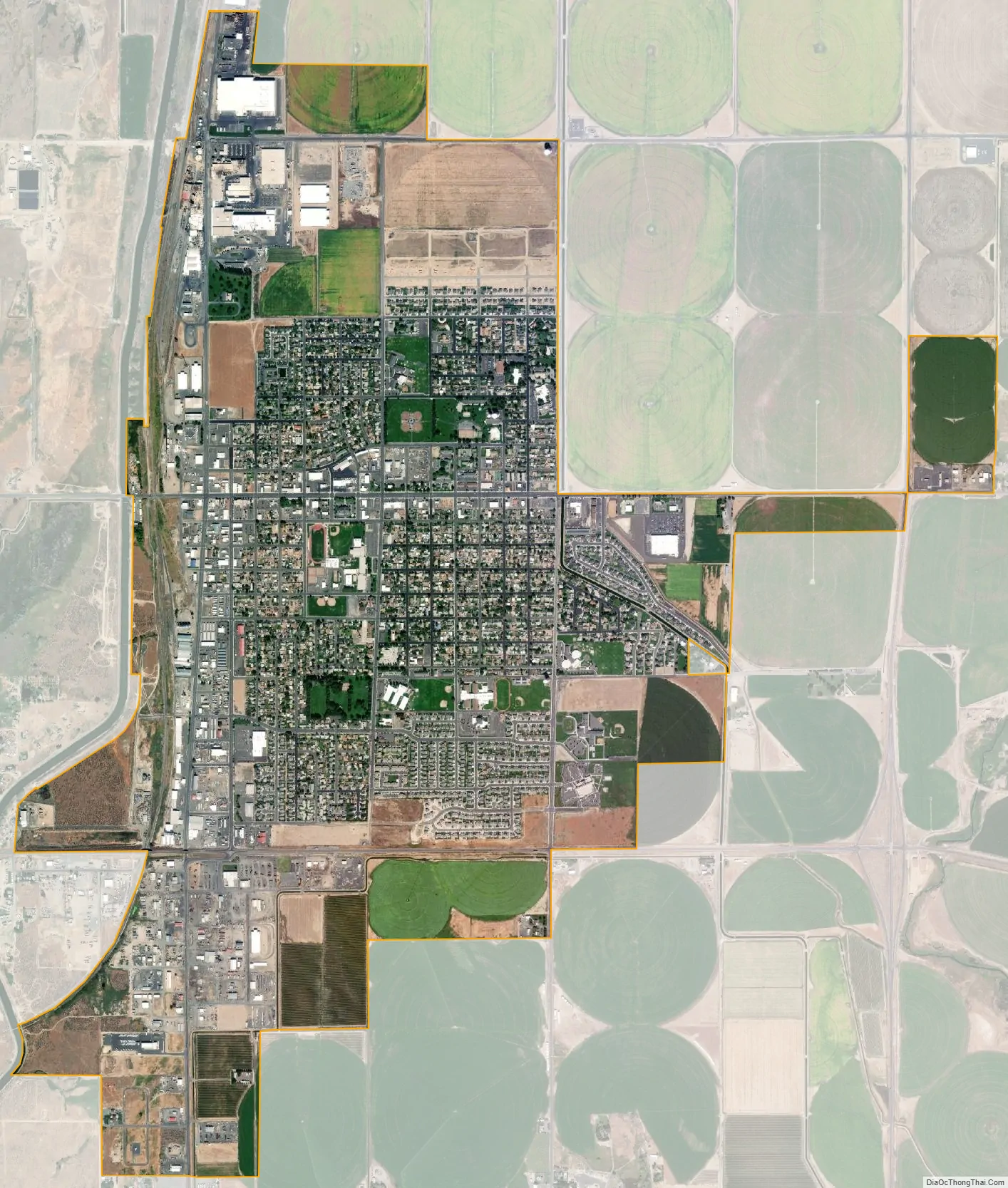
Othello city Satellite Map
Geography
According to the United States Census Bureau, the city has a total area of 3.81 square miles (9.87 km), all of it land.
Climate
According to the Köppen Climate Classification system, Othello has a semi-arid climate, abbreviated “BSk” on climate maps.
See also
Map of Washington State and its subdivision:- Adams
- Asotin
- Benton
- Chelan
- Clallam
- Clark
- Columbia
- Cowlitz
- Douglas
- Ferry
- Franklin
- Garfield
- Grant
- Grays Harbor
- Island
- Jefferson
- King
- Kitsap
- Kittitas
- Klickitat
- Lewis
- Lincoln
- Mason
- Okanogan
- Pacific
- Pend Oreille
- Pierce
- San Juan
- Skagit
- Skamania
- Snohomish
- Spokane
- Stevens
- Thurston
- Wahkiakum
- Walla Walla
- Whatcom
- Whitman
- Yakima
- Alabama
- Alaska
- Arizona
- Arkansas
- California
- Colorado
- Connecticut
- Delaware
- District of Columbia
- Florida
- Georgia
- Hawaii
- Idaho
- Illinois
- Indiana
- Iowa
- Kansas
- Kentucky
- Louisiana
- Maine
- Maryland
- Massachusetts
- Michigan
- Minnesota
- Mississippi
- Missouri
- Montana
- Nebraska
- Nevada
- New Hampshire
- New Jersey
- New Mexico
- New York
- North Carolina
- North Dakota
- Ohio
- Oklahoma
- Oregon
- Pennsylvania
- Rhode Island
- South Carolina
- South Dakota
- Tennessee
- Texas
- Utah
- Vermont
- Virginia
- Washington
- West Virginia
- Wisconsin
- Wyoming