Asotin County (/əˈsoʊtən/) is a county in the U.S. state of Washington. As of the 2020 census, the population was 22,285. The county seat is at Asotin, and its largest city is Clarkston. The county was created out of Garfield County in 1883 and derives its name from a Nez Perce word meaning “Eel Creek.” Asotin County is part of the Lewiston–Clarkston metropolitan area, which includes Nez Perce County, Idaho, and Asotin County.
| Name: | Asotin County |
|---|---|
| FIPS code: | 53-003 |
| State: | Washington |
| Founded: | October 27, 1883 |
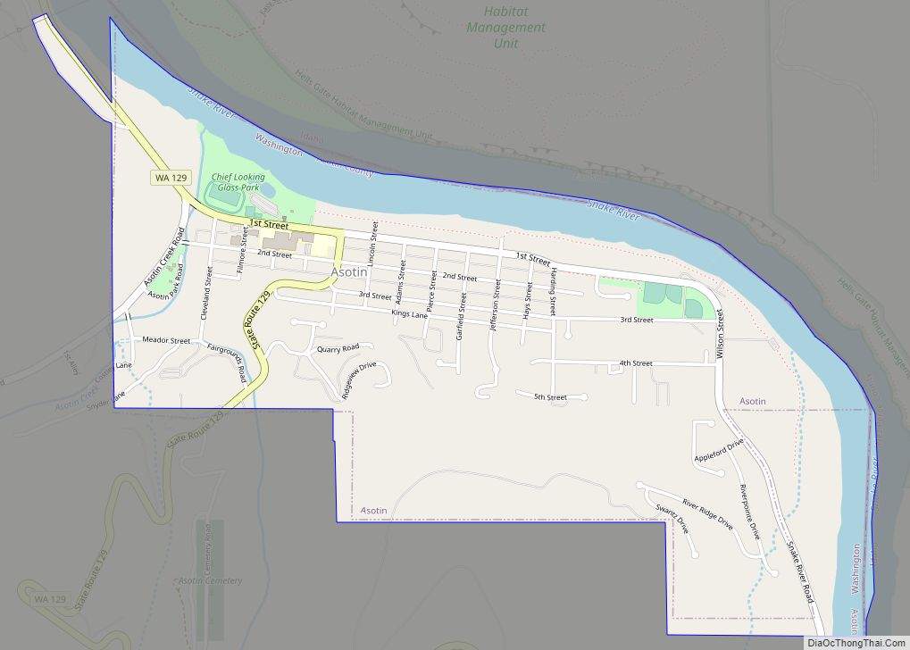
| Seat: | Asotin |
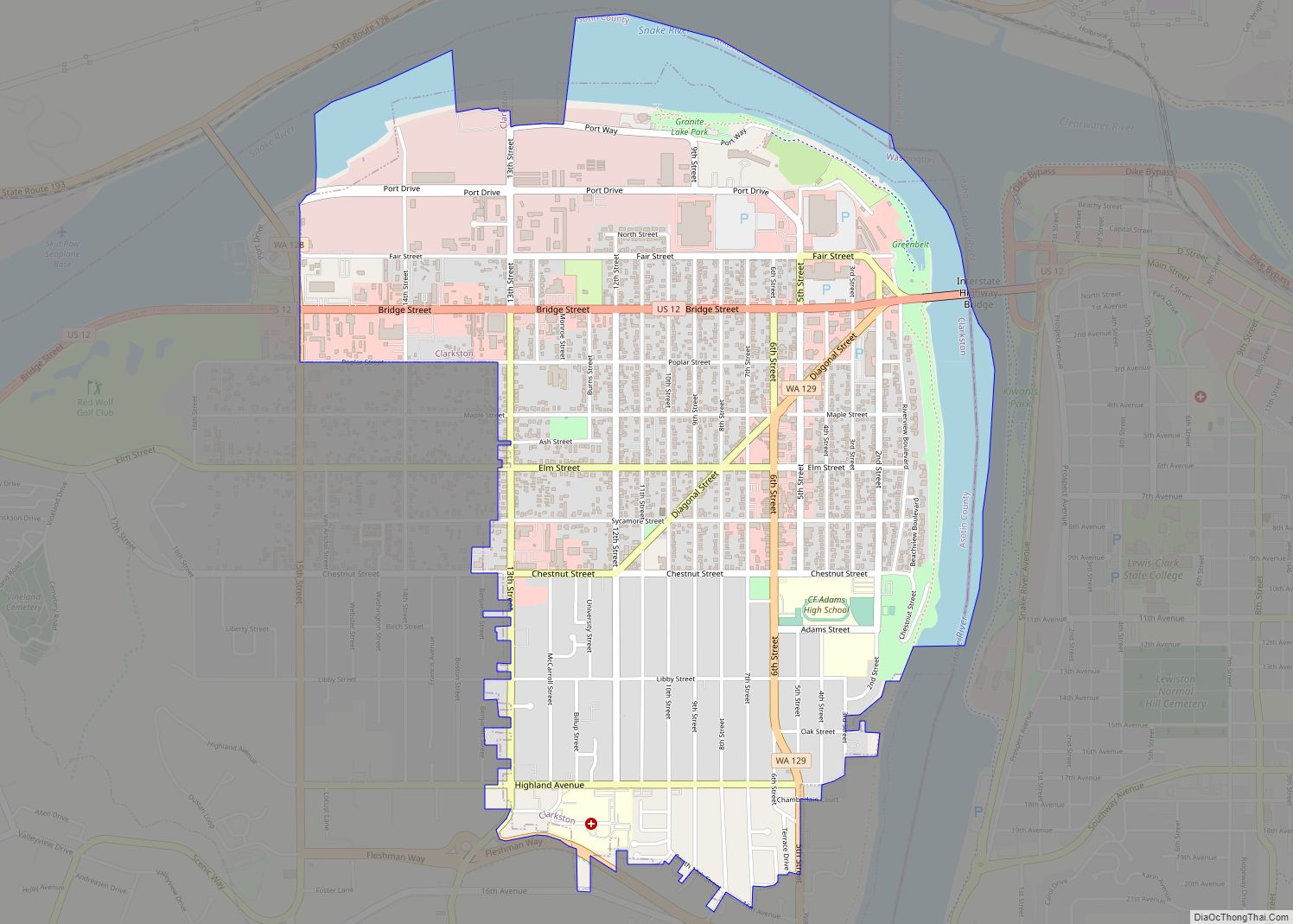
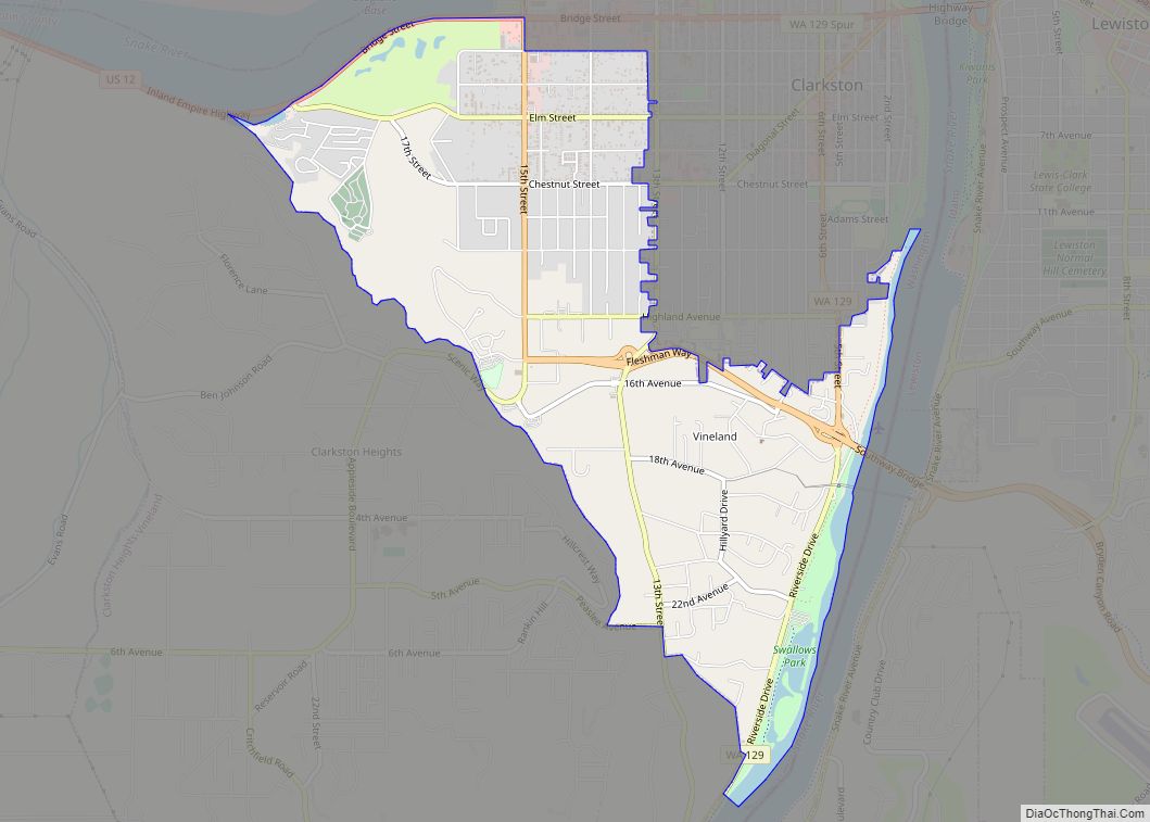
| Largest city: | Clarkston |
| Total Area: | 641 sq mi (1,660 km²) |
| Land Area: | 636 sq mi (1,650 km²) |
| Total Population: | 22,285 |
| Population Density: | 35/sq mi (14/km²) |
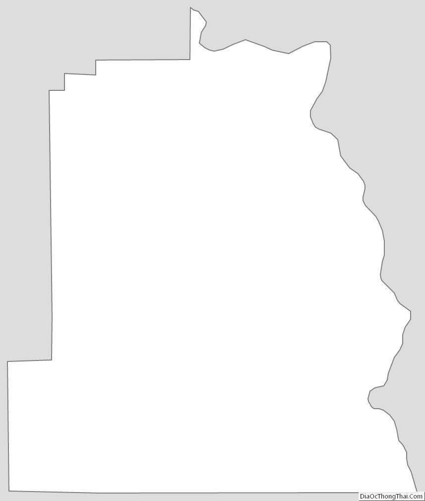
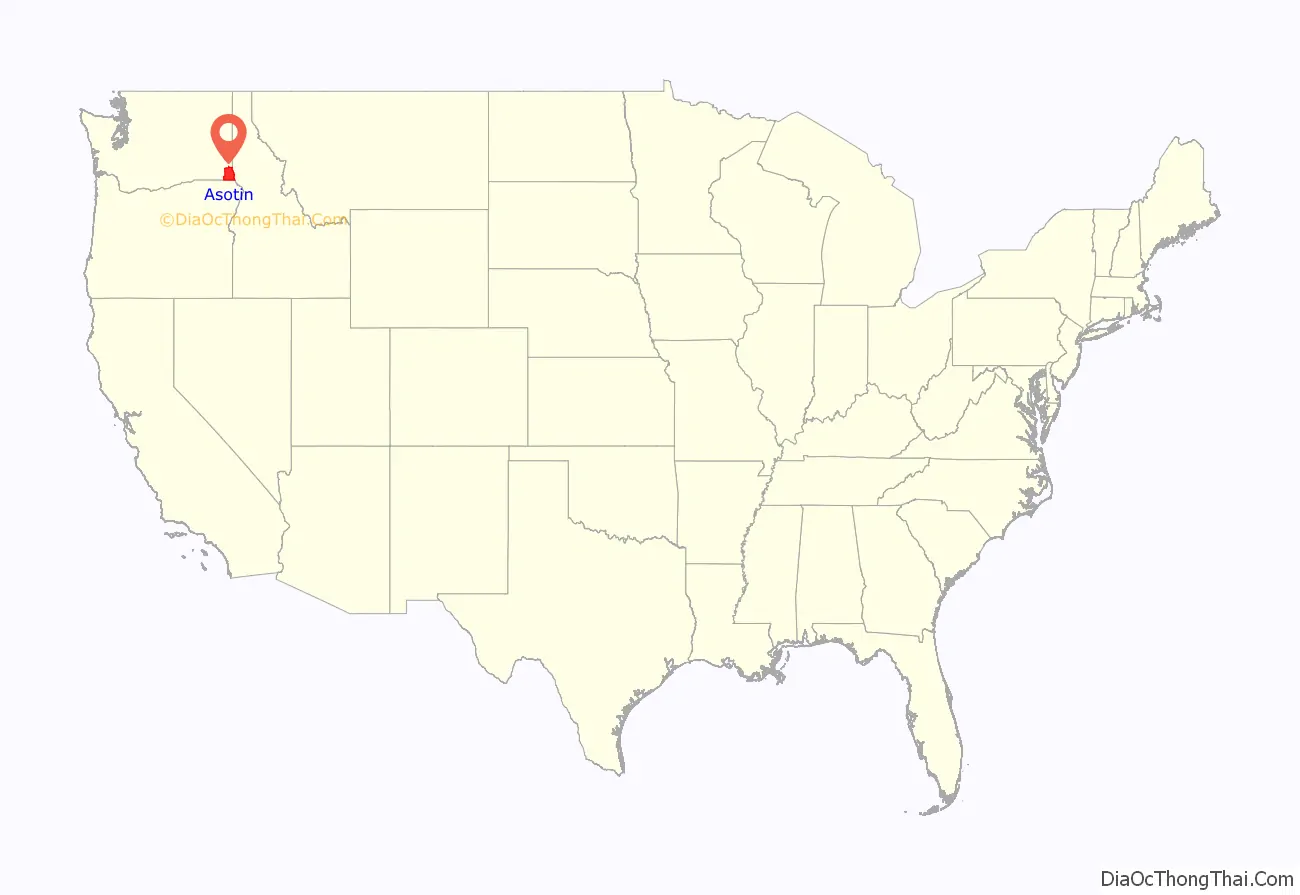
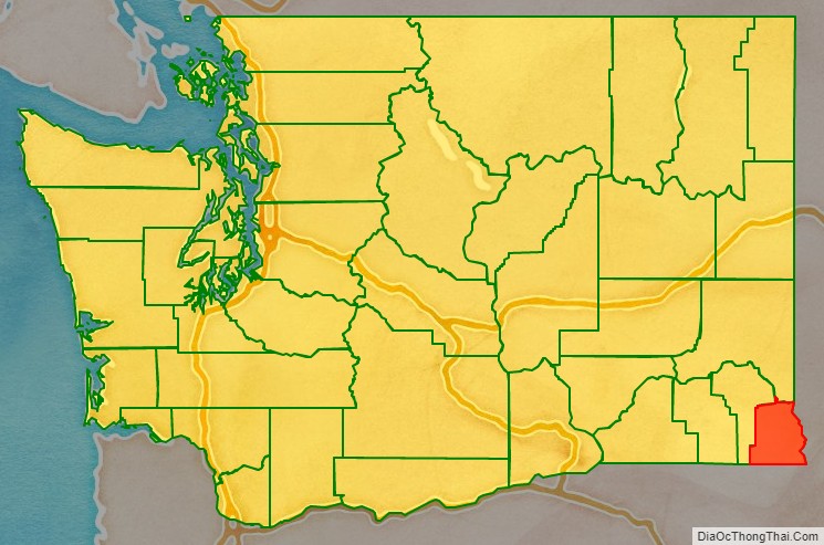
Asotin County location map. Where is Asotin County?
History
The area delineated by the future Washington state boundary began to be colonized at the start of the nineteenth century, both by Americans and Canadians. However, the majority of Canadian exploration and interest in the land was due to the fur trade, whereas American settlers were principally seeking land for agriculture and cattle raising. The Treaty of 1818 provided for dual control of this area by US and Canadian government officials. During this period, the future Washington Territory was divided into two administrative zones: Clark County and Lewis County (made official in 1845).
The dual-control concept was unwieldy and led to continual argument, and occasional conflict. The status of the Washington area was settled in 1846, when the Oregon Treaty ceded the land south of latitude 49 degrees North to American control.
In 1854, Skamania County was split from the original Clark County. Later that year, Walla Walla County was split from the new Skamania County. In 1875, Columbia County was split from Walla Walla County, and in 1881, a portion of Columbia County was set off to form Garfield County. The southeastern portion of Garfield County was partitioned in 1883 to form Asotin County. The 1883 boundary of Asotin has remained unchanged since then.
Asotin County Road Map
Geography
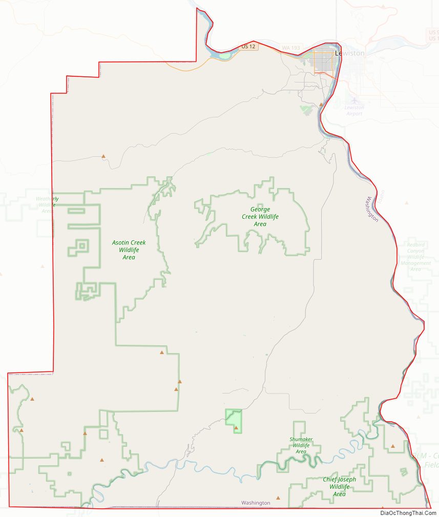
According to the United States Census Bureau, the county has an area of 641 square miles (1,660 km), of which 636 square miles (1,650 km) is land and 4.4 square miles (11 km) (0.7%) is water. It is the fifth-smallest county in Washington by area. It is part of the Palouse, a wide and rolling prairie-like region of the middle Columbia basin.
Geographic features
- Snake River
- Sagebrush
- Joseph Canyon
Major highways
- U.S. Route 12
Adjacent counties
- Whitman County – north
- Nez Perce County, Idaho – east
- Wallowa County, Oregon – south
- Garfield County – west
National protected area
- Umatilla National Forest (part)
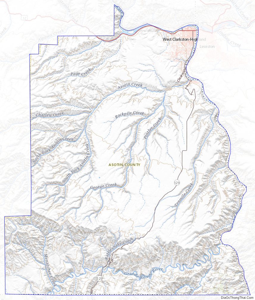
Asotin County Topographic Map
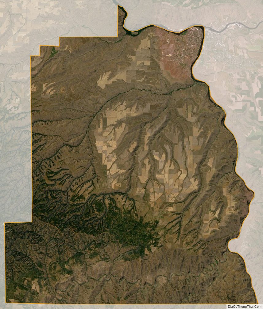
Asotin County Satellite Map
Asotin County Outline Map