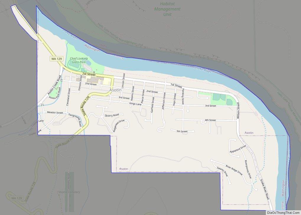
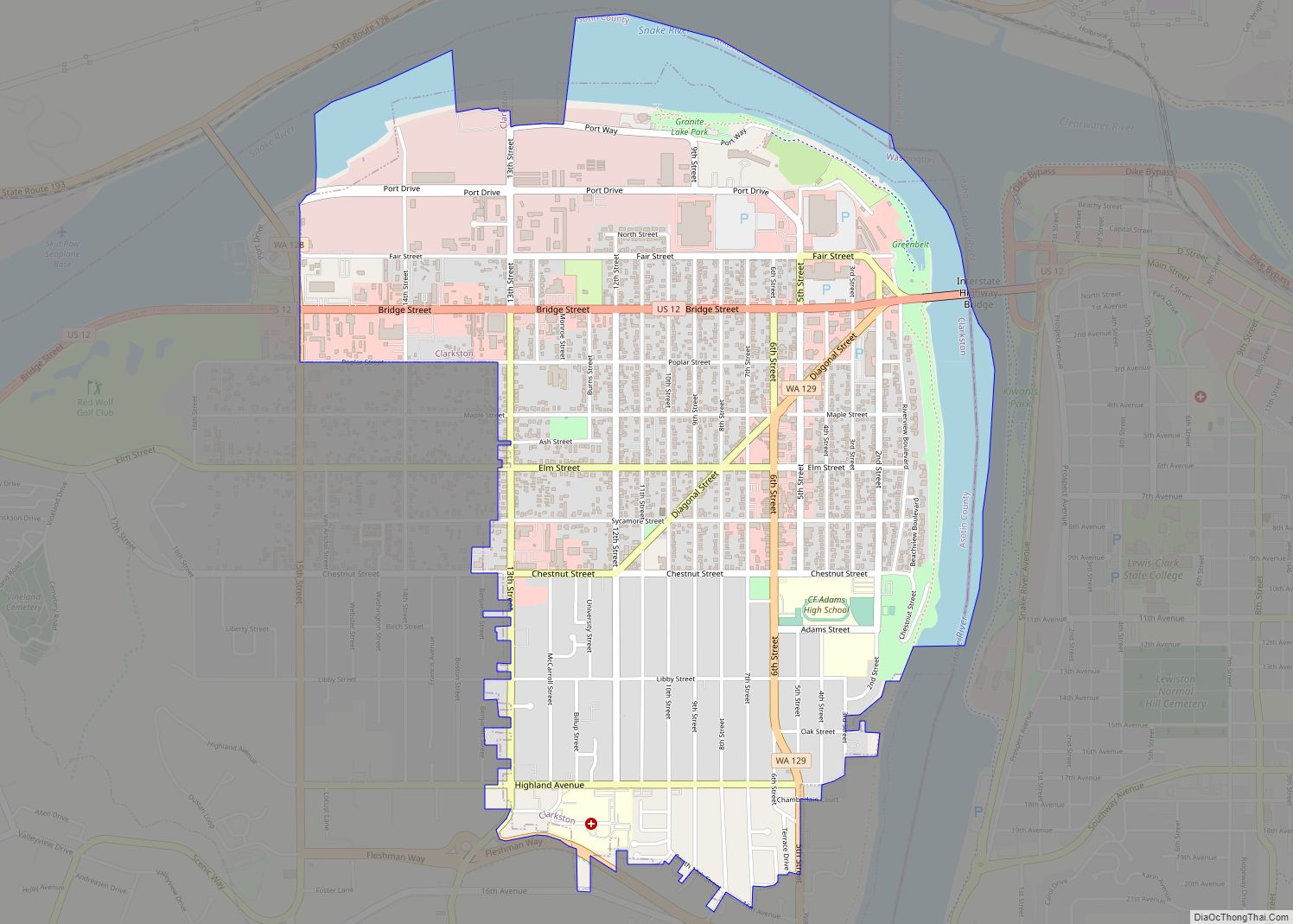
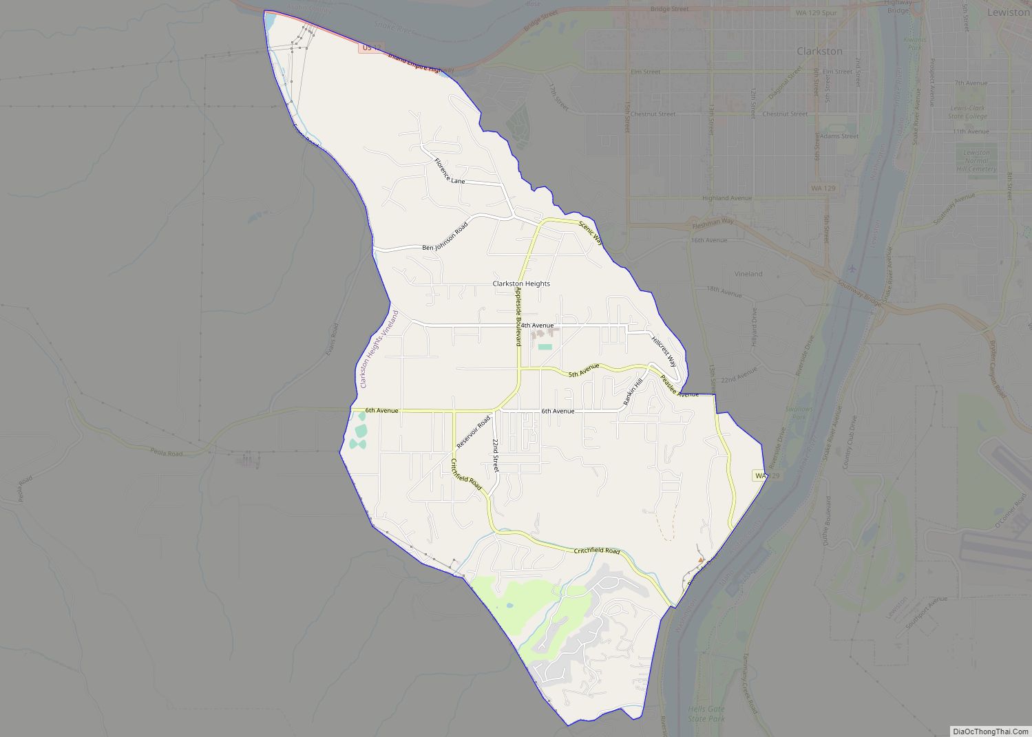
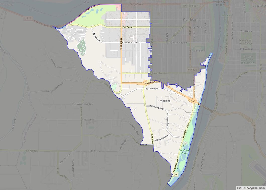
Clarkston is a city in Asotin County, Washington, United States. It is part of the Lewiston, ID-WA metropolitan area, and is located west of Lewiston, Idaho, across the Snake River.
The population of Clarkston was 7,161 at the 2020 census.
Walla Walla Community College opened a branch campus in Clarkston that serves the surrounding area.
Clarkston’s ZIP code, 99403, is the highest numerically in the contiguous United States.
| Name: | Clarkston city |
|---|---|
| LSAD Code: | 25 |
| LSAD Description: | city (suffix) |
| State: | Washington |
| County: | Asotin County |
| Elevation: | 807 ft (246 m) |
| Total Area: | 2.23 sq mi (5.78 km²) |
| Land Area: | 2.06 sq mi (5.32 km²) |
| Water Area: | 0.17 sq mi (0.45 km²) |
| Total Population: | 7,161 |
| Population Density: | 3,587.06/sq mi (1,385.10/km²) |
| ZIP code: | 99403 |
| Area code: | 509 |
| FIPS code: | 5312630 |
| GNISfeature ID: | 1512093 |
| Website: | www.clarkston-wa.com |
Online Interactive Map
Click on ![]() to view map in "full screen" mode.
to view map in "full screen" mode.
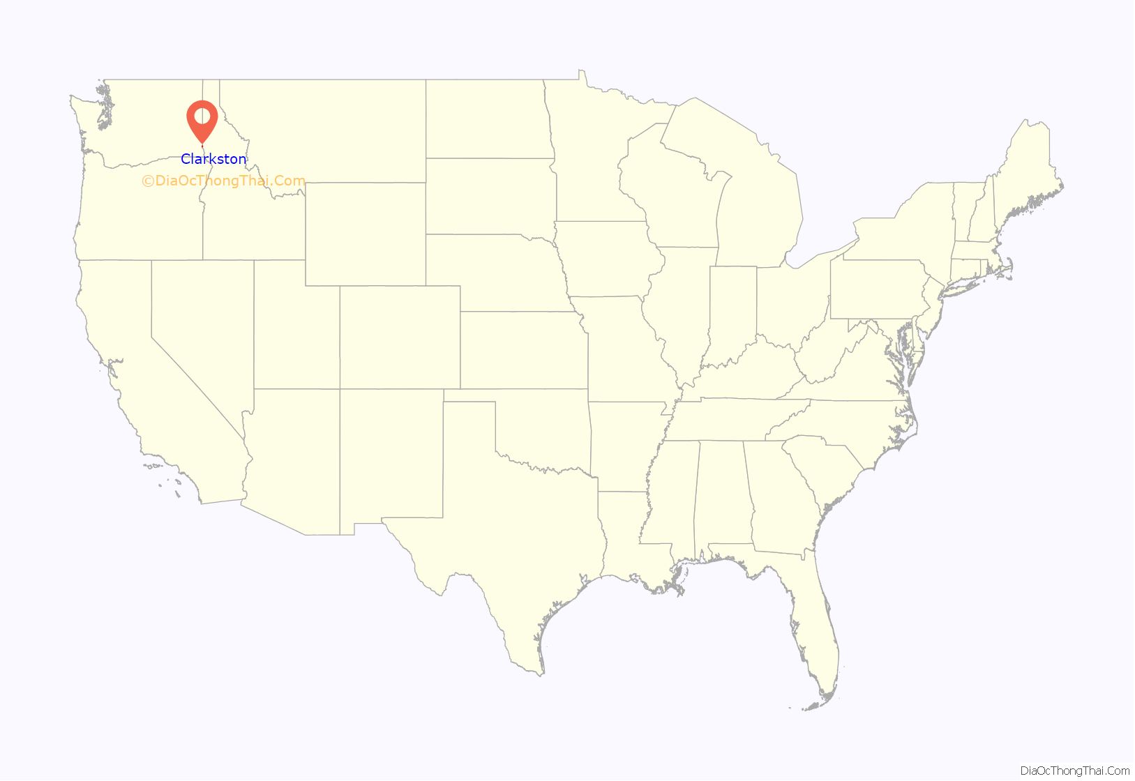
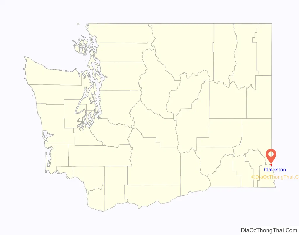
Clarkston location map. Where is Clarkston city?
History
Clarkston was first settled in 1862 by Robert Bracken, and was officially incorporated on August 14, 1902. Before becoming an official town, the area was known by various names, including Jawbone Flats, Lewiston, and Concord (after Concord, Massachusetts).
The name Clarkston is a reference to William Clark, of the Lewis and Clark Expedition fame. Directly east across the Snake River is Lewiston, named for Meriwether Lewis and the larger and older of the two cities. The expedition passed westbound through the area by canoe in 1805 on October 10; neither Lewis nor Clark ever visited the Clarkston side of the river. Eastbound, they returned to the area in early May 1806.
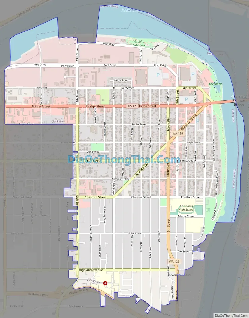
Clarkston Road Map
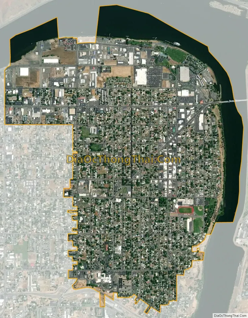
Clarkston city Satellite Map
Geography
Clarkston is in the Lewis-Clark Valley, at the confluence of the Snake and Clearwater rivers. Immediately across the Snake River from Clarkston is the city of Lewiston, Idaho.
According to the United States Census Bureau, the city has a total area of 2.09 square miles (5.41 km), of which 2.01 square miles (5.21 km) is land and 0.08 square miles (0.21 km) is water.
See also
Map of Washington State and its subdivision:- Adams
- Asotin
- Benton
- Chelan
- Clallam
- Clark
- Columbia
- Cowlitz
- Douglas
- Ferry
- Franklin
- Garfield
- Grant
- Grays Harbor
- Island
- Jefferson
- King
- Kitsap
- Kittitas
- Klickitat
- Lewis
- Lincoln
- Mason
- Okanogan
- Pacific
- Pend Oreille
- Pierce
- San Juan
- Skagit
- Skamania
- Snohomish
- Spokane
- Stevens
- Thurston
- Wahkiakum
- Walla Walla
- Whatcom
- Whitman
- Yakima
- Alabama
- Alaska
- Arizona
- Arkansas
- California
- Colorado
- Connecticut
- Delaware
- District of Columbia
- Florida
- Georgia
- Hawaii
- Idaho
- Illinois
- Indiana
- Iowa
- Kansas
- Kentucky
- Louisiana
- Maine
- Maryland
- Massachusetts
- Michigan
- Minnesota
- Mississippi
- Missouri
- Montana
- Nebraska
- Nevada
- New Hampshire
- New Jersey
- New Mexico
- New York
- North Carolina
- North Dakota
- Ohio
- Oklahoma
- Oregon
- Pennsylvania
- Rhode Island
- South Carolina
- South Dakota
- Tennessee
- Texas
- Utah
- Vermont
- Virginia
- Washington
- West Virginia
- Wisconsin
- Wyoming