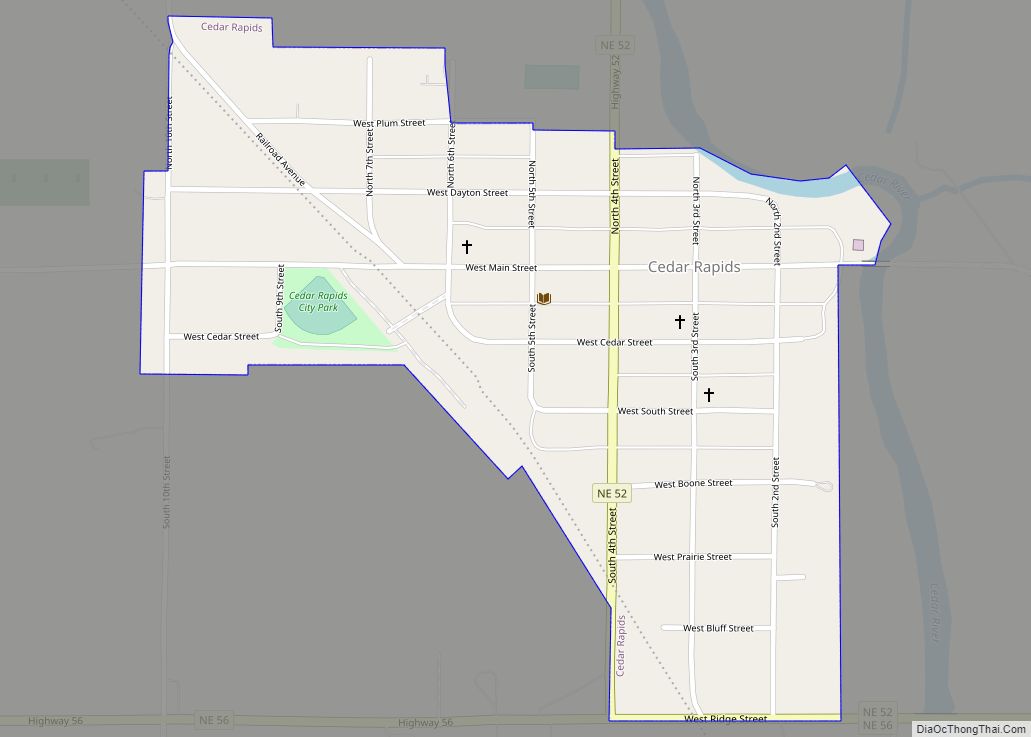
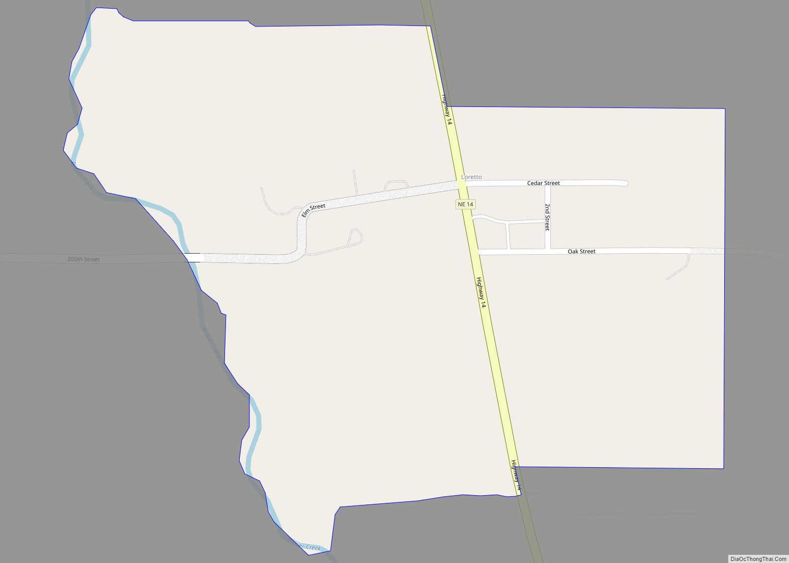
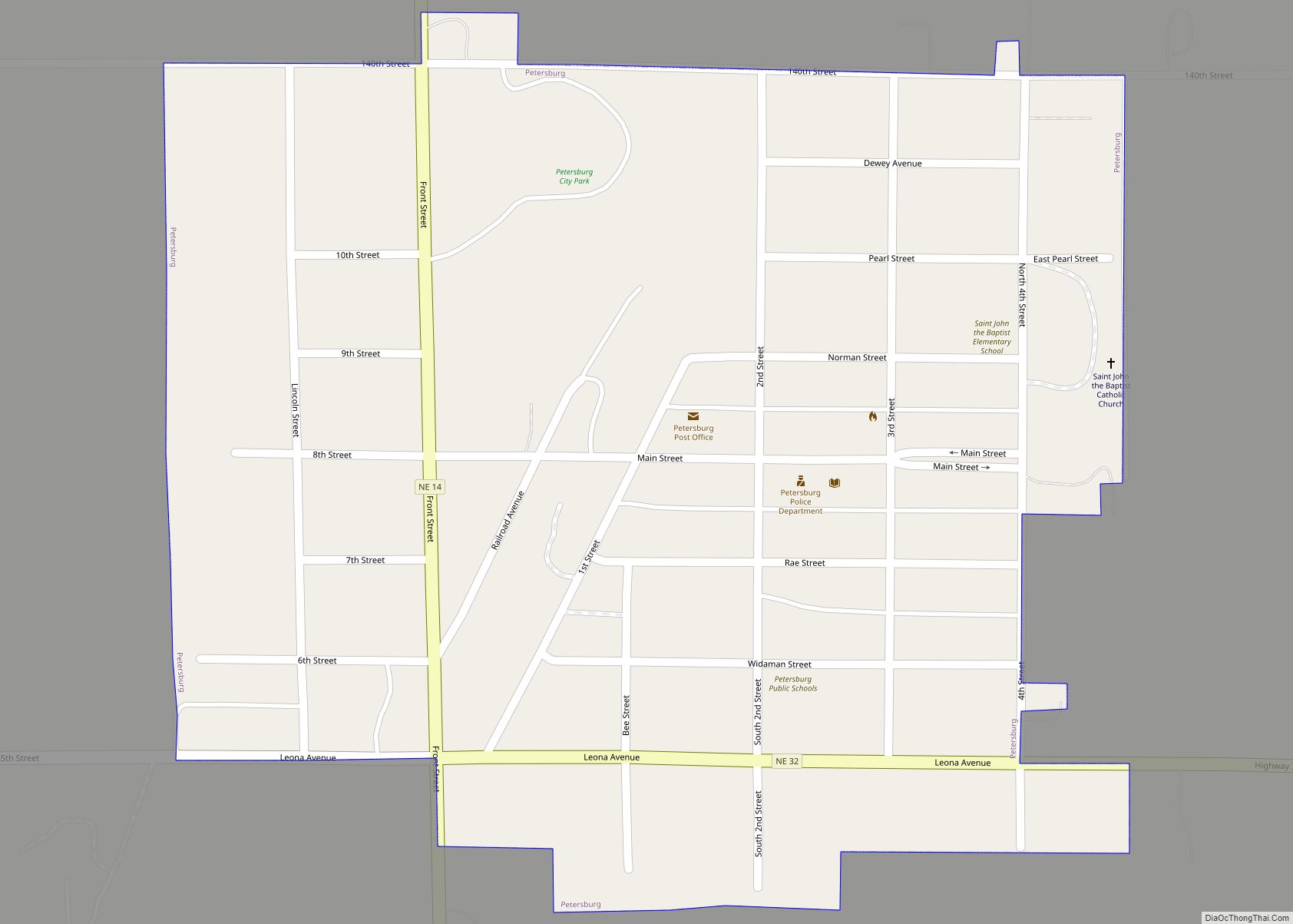
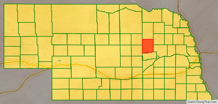
Boone County is a county in the U.S. state of Nebraska. As of the 2020 United States Census, the population was 5,386. Its county seat is Albion. The county was organized in 1871 and named after Daniel Boone.
In the Nebraska license plate system, Boone County is represented by the prefix 23 (it had the 23rd-largest number of vehicles registered in the county when the license plate system was established in 1922).
| Name: | Boone County |
|---|---|
| FIPS code: | 31-011 |
| State: | Nebraska |
| Founded: | 1871 |
| Named for: | Daniel Boone |
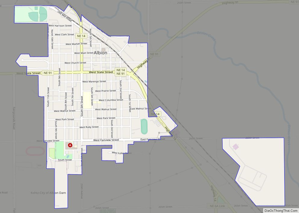
| Seat: | Albion |
| Largest city: | Albion |
| Total Area: | 687 sq mi (1,780 km²) |
| Land Area: | 687 sq mi (1,780 km²) |
| Total Population: | 5,386 |
| Population Density: | 7.8/sq mi (3.0/km²) |
| Time zone: | UTC−6 (Central) |
| Summer Time Zone (DST): | UTC−5 (CDT) |
| Website: | www.co.boone.ne.us |
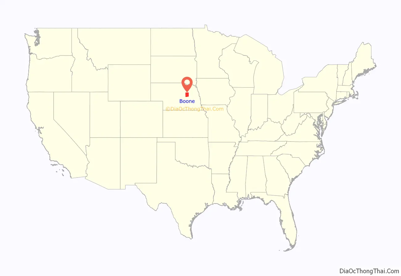
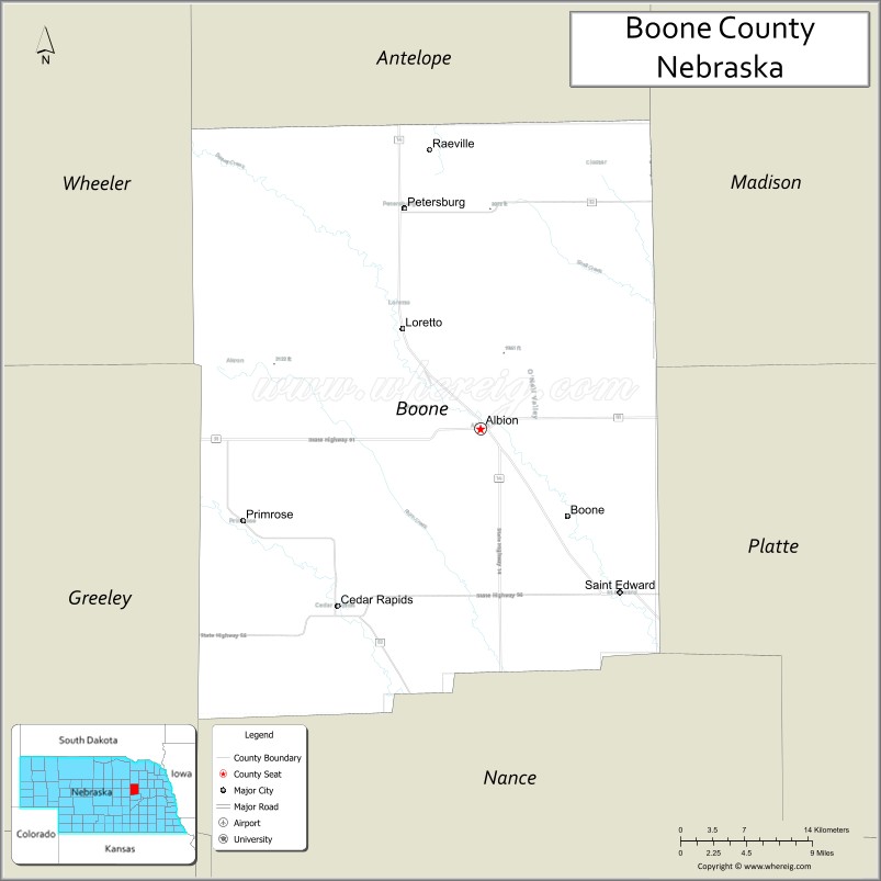
Boone County location map. Where is Boone County?
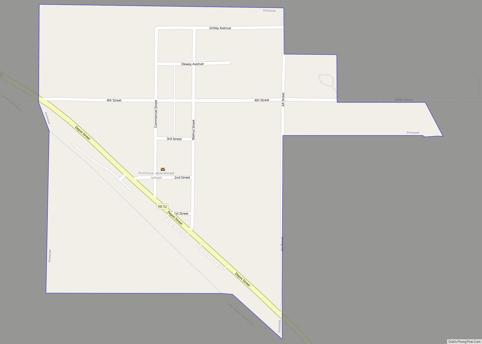
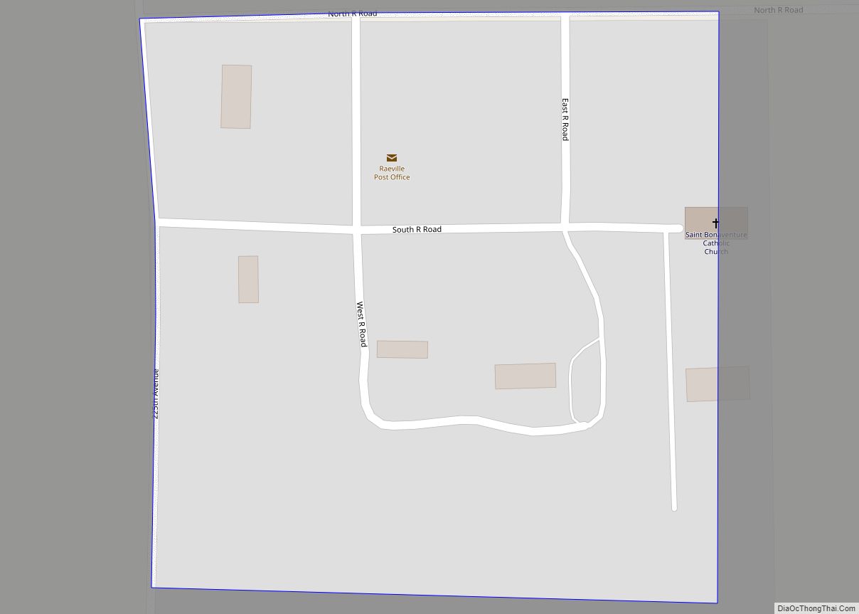
Boone County Road Map
Geography
According to the US Census Bureau, the county has an area of 687 square miles (1,780 km), of which 687 square miles (1,780 km) is land and 0.7 square miles (1.8 km) (0.1%) is water.
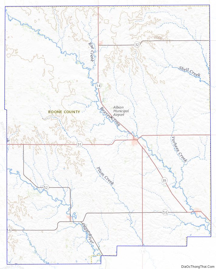
Major highways
- Nebraska Highway 14
- Nebraska Highway 32
- Nebraska Highway 39
- Nebraska Highway 45
- Nebraska Highway 52
- Nebraska Highway 56
- Nebraska Highway 91
Adjacent counties
- Madison County – northeast
- Platte County – southeast
- Nance County – south
- Greeley County – southwest
- Wheeler County – northwest
- Antelope County – north
Boone County Topographic Map
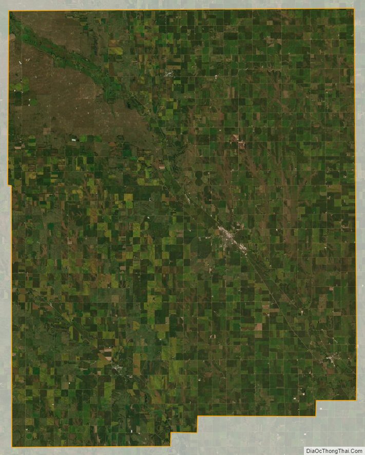
Boone County Satellite Map
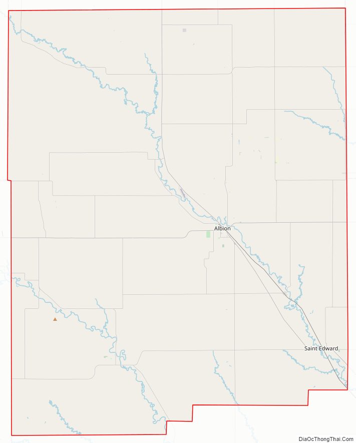
Boone County Outline Map