Candler County is a county located in the southeastern part of the U.S. state of Georgia. As of the 2020 census, the population was 10,981. The county seat is Metter. The county was founded in 1914 and named for Allen D. Candler, the 56th governor of Georgia.
| Name: | Candler County |
|---|---|
| FIPS code: | 13-043 |
| State: | Georgia |
| Founded: | 1914 |
| Named for: | Allen D. Candler |
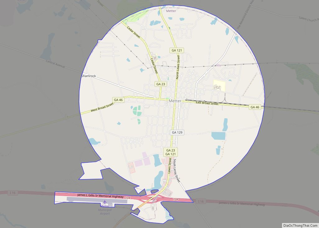
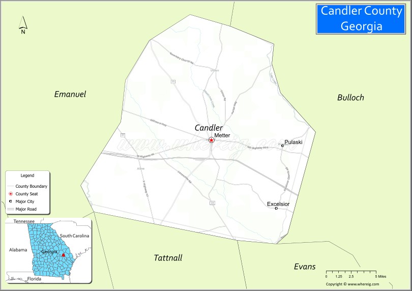
| Seat: | Metter |
| Largest city: | Metter |
| Total Area: | 249 sq mi (640 km²) |
| Land Area: | 243 sq mi (630 km²) |
| Total Population: | 10,981 |
| Population Density: | 45/sq mi (17/km²) |
| Time zone: | UTC−5 (Eastern) |
| Summer Time Zone (DST): | UTC−4 (EDT) |
| Website: | metter-candler.com |
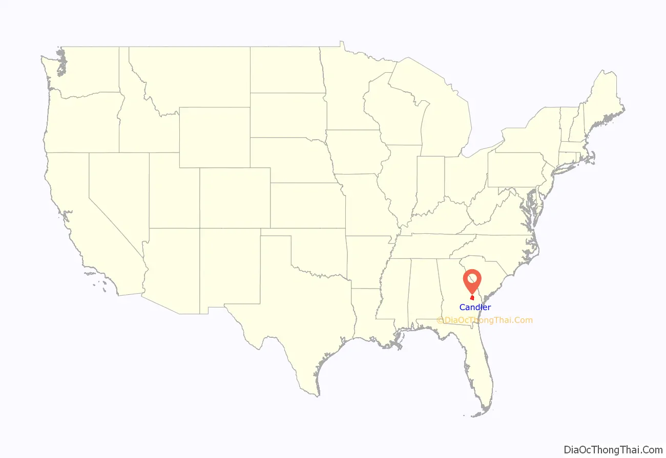
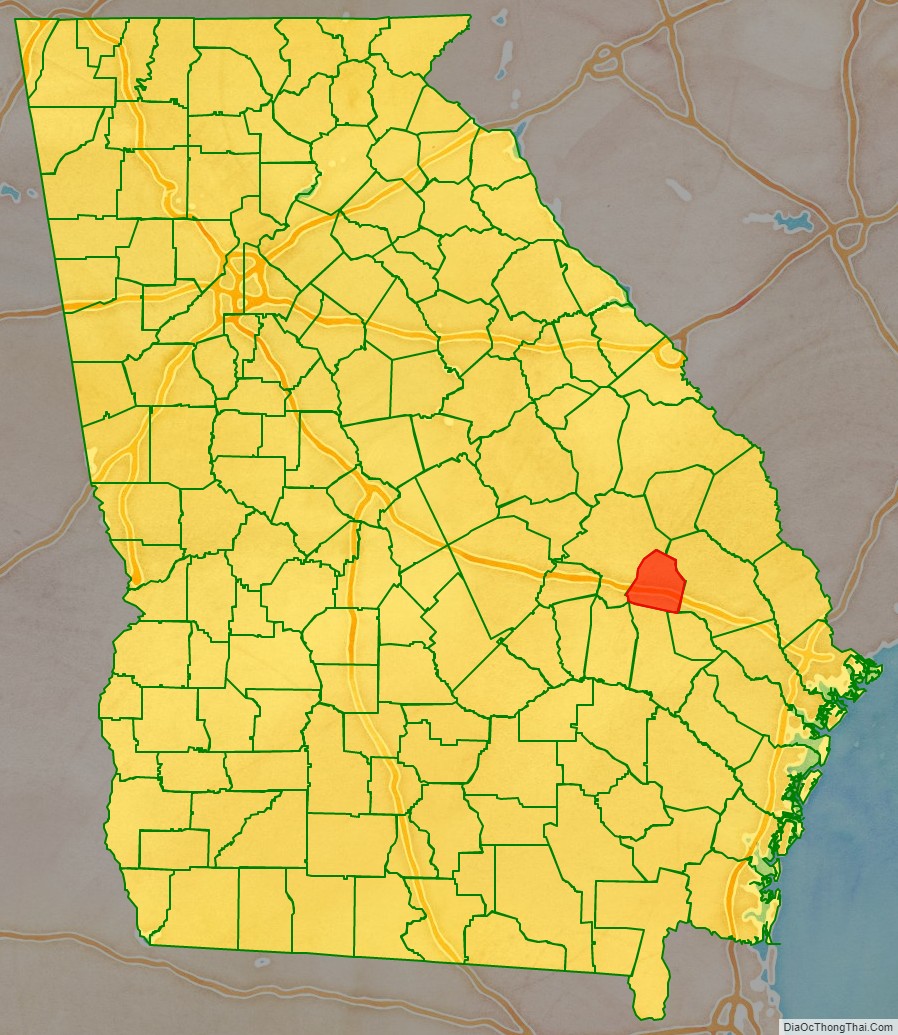
Candler County location map. Where is Candler County?
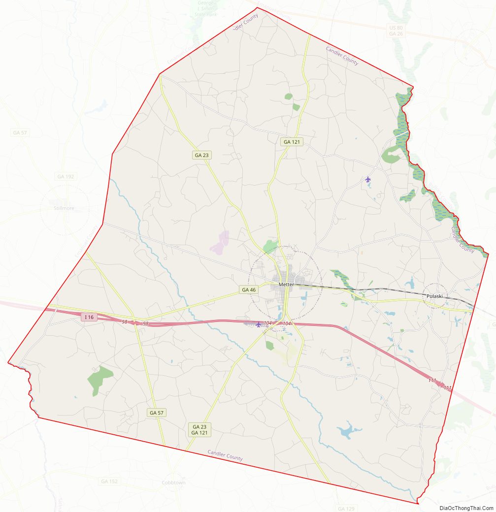
Candler County Road Map
Geography
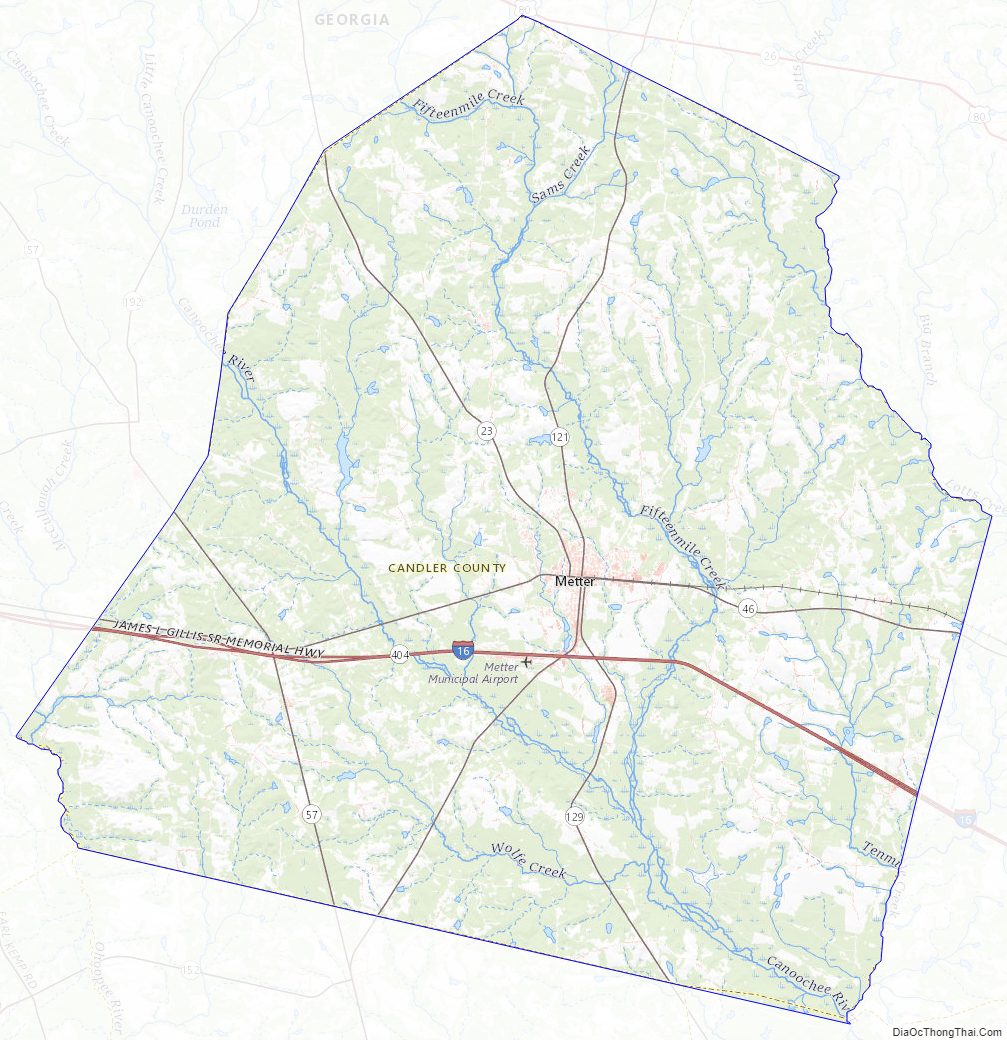
According to the U.S. Census Bureau, the county has a total area of 249 square miles (640 km), of which 243 square miles (630 km) is land and 5.8 square miles (15 km) (2.3%) is water.
The majority of Candler County is located in the Canoochee River sub-basin of the Ogeechee River basin. The western edge of the county, west of State Route 57, is located in the Ohoopee River sub-basin of the Altamaha River basin.
Major highways
- Interstate 16
- State Route 23
- State Route 46
- State Route 57
- State Route 121
- State Route 129
- State Route 404 (unsigned designation for I-16)
Adjacent counties
- Bulloch County (east)
- Evans County (southeast)
- Tattnall County (south)
- Emanuel County (northwest)
Candler County Topographic Map
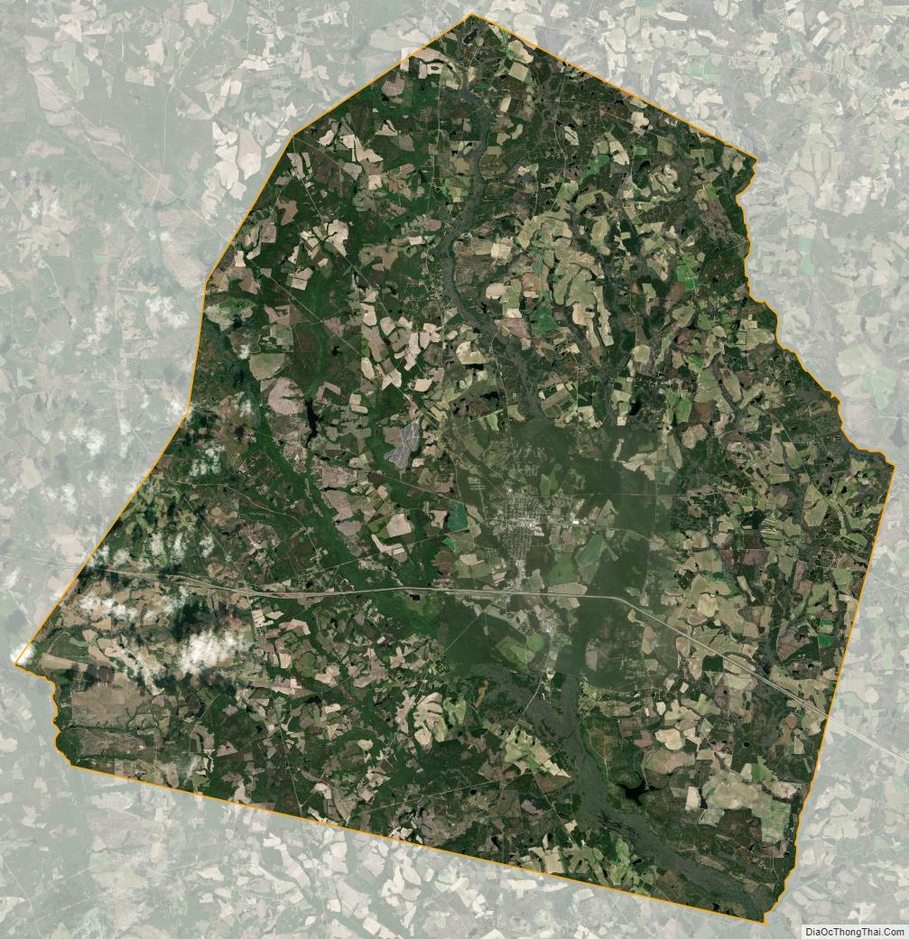
Candler County Satellite Map
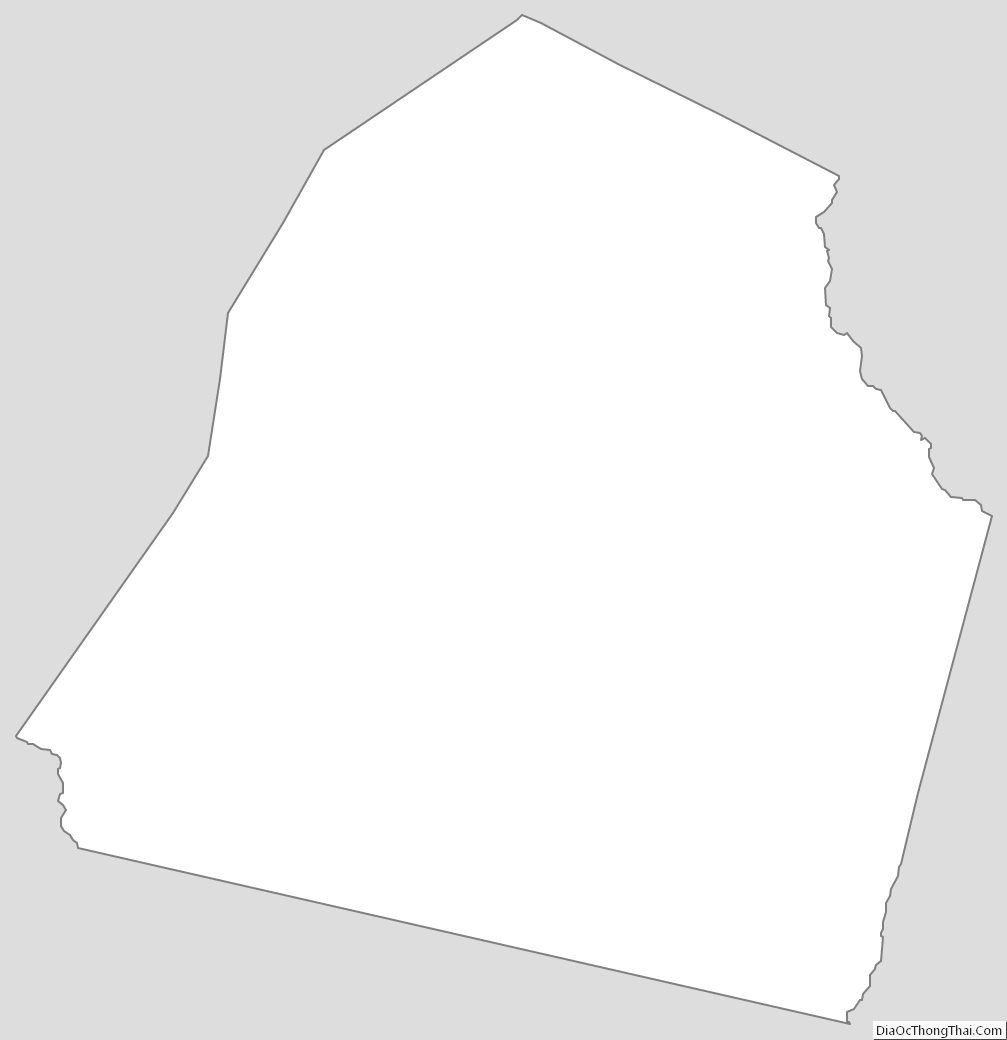
Candler County Outline Map