Covington County is a county located in the U.S. state of Mississippi. As of the 2020 census, the population was 18,340. Its county seat is Collins. The county is named for U.S. Army officer and Congressman Leonard Covington.
| Name: | Covington County |
|---|---|
| FIPS code: | 28-031 |
| State: | Mississippi |
| Founded: | 1819 |
| Named for: | Leonard Covington |
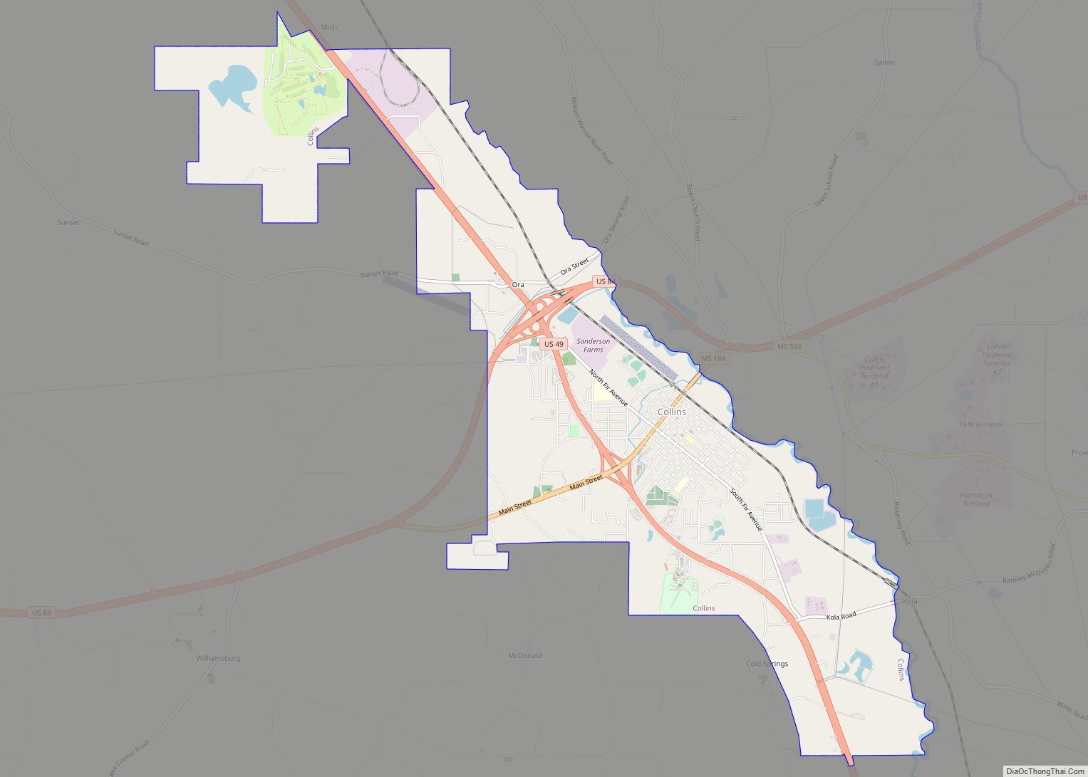
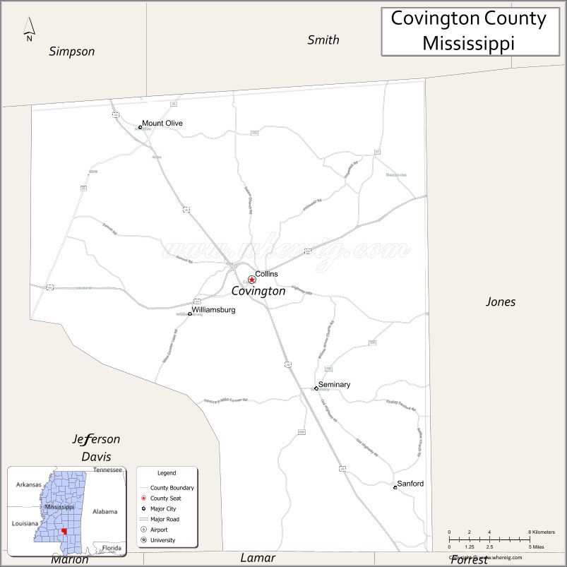
| Seat: | Collins |
| Largest city: | Collins |
| Total Area: | 415 sq mi (1,070 km²) |
| Land Area: | 414 sq mi (1,070 km²) |
| Total Population: | 18,340 |
| Population Density: | 44/sq mi (17/km²) |
| Time zone: | UTC−6 (Central) |
| Summer Time Zone (DST): | UTC−5 (CDT) |
| Website: | www.covingtoncountyms.gov |
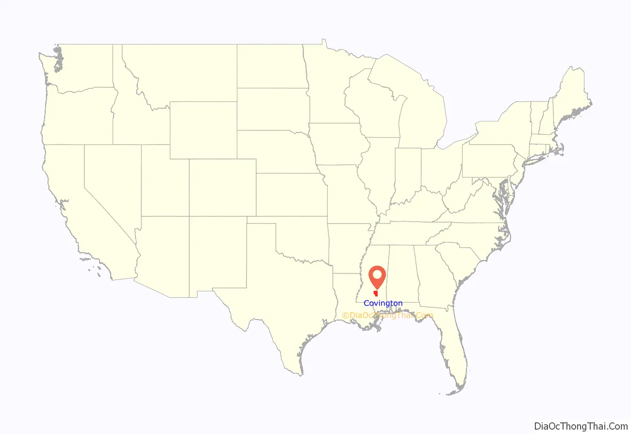
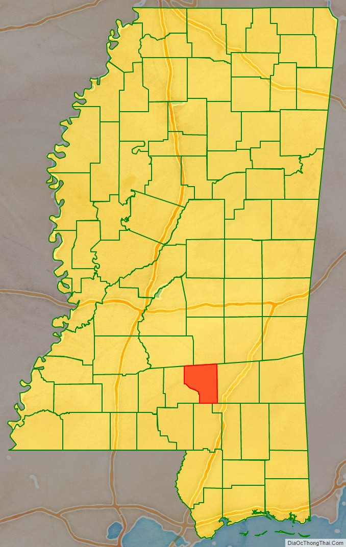
Covington County location map. Where is Covington County?
History
Covington County was established on January 5, 1819, less than two years after Mississippi earned statehood into the Union. The county was one of the first counties established out of the vast non-agricultural lands in the more eastern part of the state. Covington was originally cut out of Lawrence and Wayne Counties, and encompassed what is now Jefferson Davis, Covington, and Jones Counties.
In 1823, part of Covington County became Bainbridge County, most likely named after William Bainbridge, who became an American naval hero during the War of 1812. The next year, in 1824, the Mississippi legislature did away with Bainbridge County, giving its lands back to Covington County.
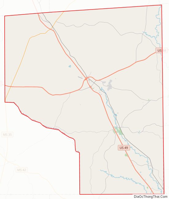
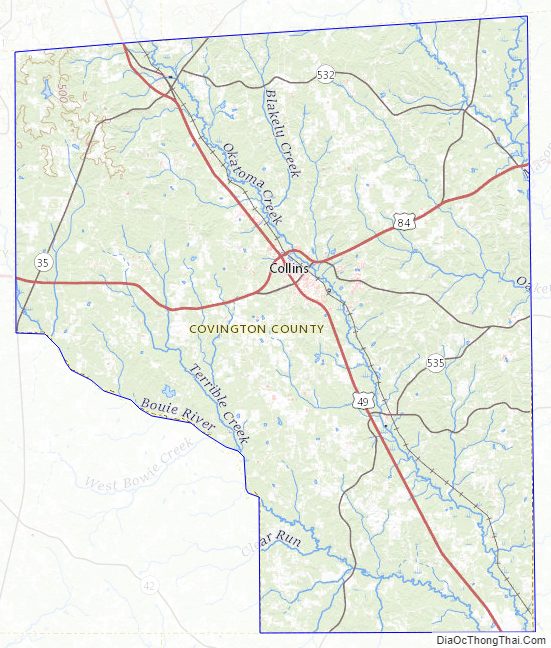
Covington County Road Map
Geography
According to the U.S. Census Bureau, the county has a total area of 415 square miles (1,070 km), of which 414 square miles (1,070 km) is land and 1.1 square miles (2.8 km) (0.3%) is water.
Adjacent counties
- Smith County (north)
- Jones County (east)
- Forrest County (southeast)
- Lamar County (south)
- Jefferson Davis County (west)
- Simpson County (northwest)
Covington County Topographic Map
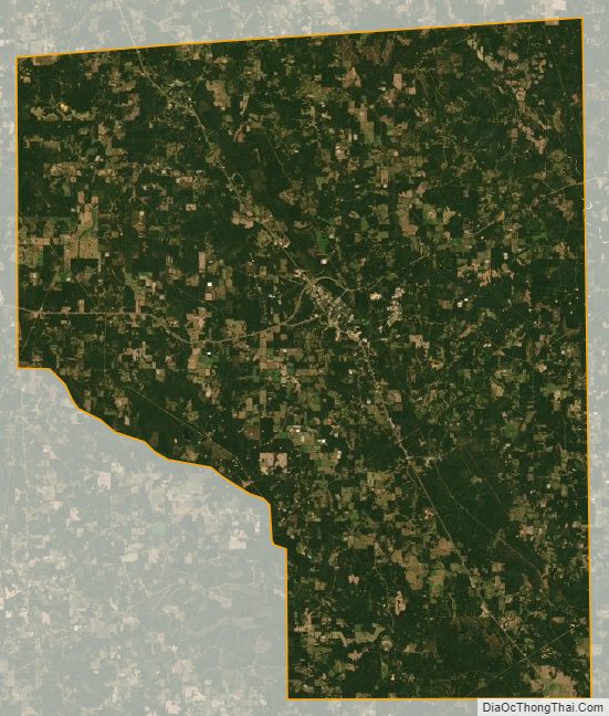
Covington County Satellite Map
Covington County Outline Map