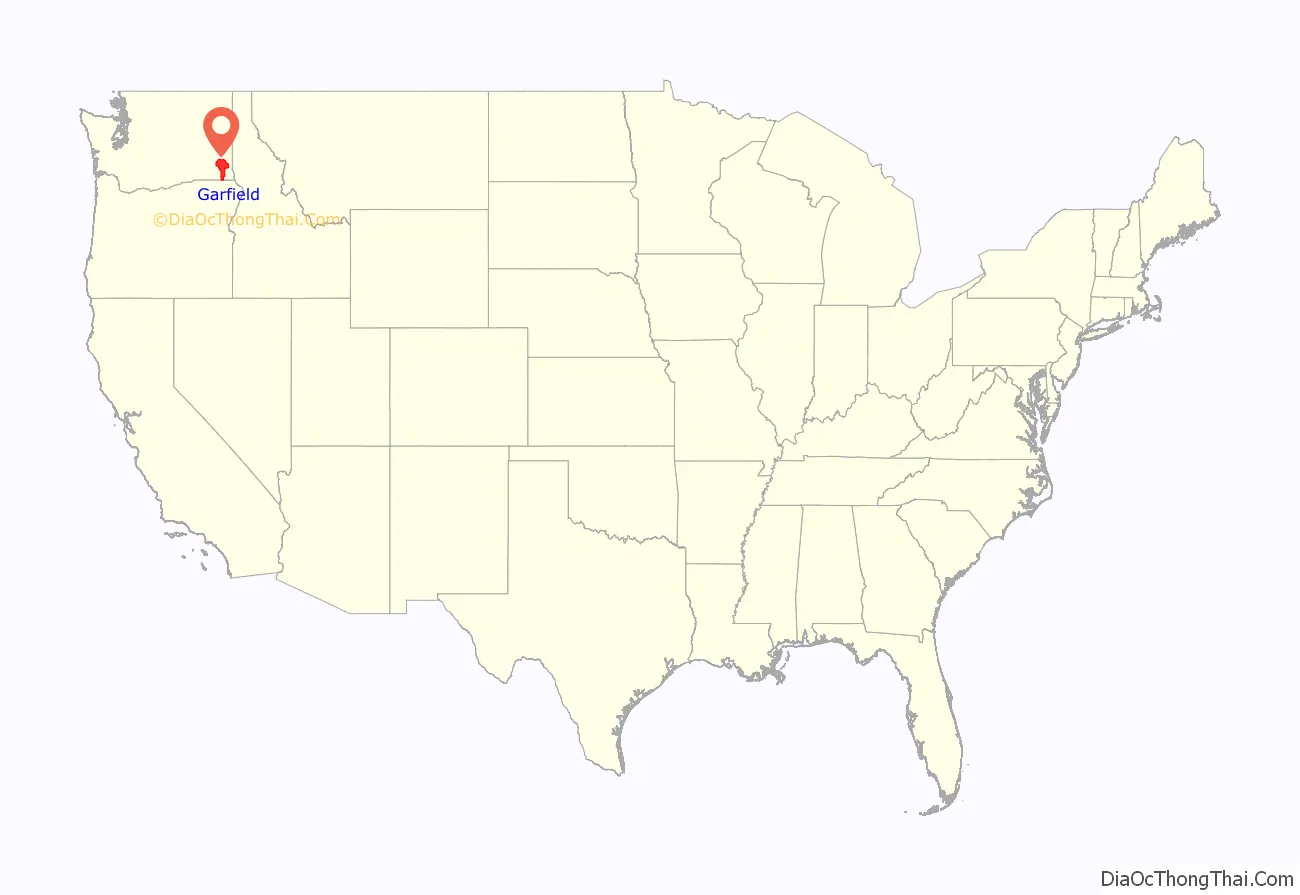
Garfield County is a county located in the U.S. state of Washington. As of the 2020 census, the population was 2,286, making it the least populous county in Washington; with about 3.2 inhabitants per square mile (1.2/km), it is also the least densely populated county in Washington. The county seat and only city is Pomeroy.
| Name: | Garfield County |
|---|---|
| FIPS code: | 53-023 |
| State: | Washington |
| Founded: | November 29, 1881 |
| Named for: | James A. Garfield |
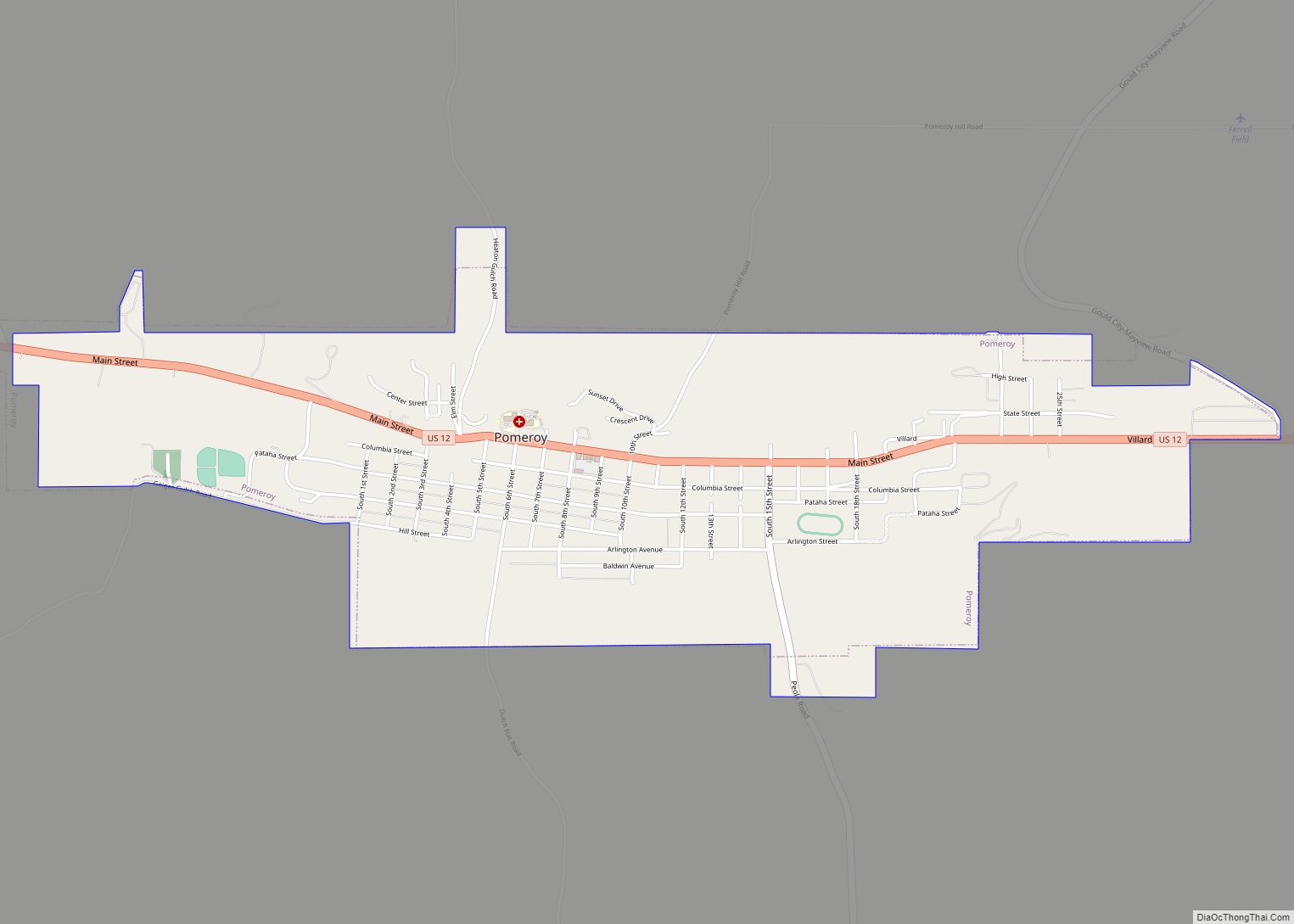
| Seat: | Pomeroy |
| Largest city: | Pomeroy |
| Total Area: | 718 sq mi (1,860 km²) |
| Land Area: | 711 sq mi (1,840 km²) |
| Total Population: | 2,286 |
| Population Density: | 3.1/sq mi (1.2/km²) |
Garfield County location map. Where is Garfield County?
History
The area delineated by the future Washington state boundary began to be colonized at the start of the nineteenth century, both by Americans and British. However, the majority of British exploration and interest in the land was due to the fur trade, whereas American settlers were principally seeking land for agriculture and cattle raising. The Treaty of 1818 provided for the creation of a British and American condominium over the region. During this period, the future Washington Territory was divided into two administrative zones: Clark County and Lewis County (made official in 1845). However, the condominium arrangement was unwieldy, leading to continuous disputes and occasional conflict; it was abolished by an 1846 treaty that established a boundary between British and American possessions that survives as today’s Canada–United States border.
In 1854, Skamania County was split from the original Clark County. Also in 1854, Walla Walla County was split from the new Skamania County. In 1875, Columbia County was split from Walla Walla County, and on November 29, 1881, a portion of Columbia County was set off to form Garfield County. The original Garfield County was reduced in size in 1883 when its southeastern area was partitioned off to form Asotin County. It was named for the late U.S. President James A. Garfield, who had been assassinated a few weeks prior.
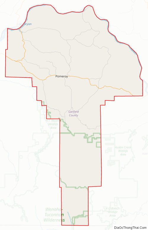
Garfield County Road Map
Geography
According to the United States Census Bureau, the county has a total area of 718 square miles (1,860 km), of which 711 square miles (1,840 km) is land and 7.5 square miles (19 km) (1.0%) is water. It is part of the Palouse, a wide and rolling prairie-like region of the middle Columbia basin.
Geographic features
- Alpowa Summit
- Snake River
Major highway
- U.S. Route 12
- State Route 127
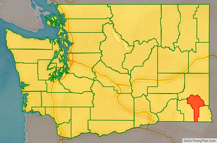
Adjacent counties
- Whitman County – north
- Asotin County – east
- Wallowa County, Oregon – south
- Columbia County – west
National protected area
- Umatilla National Forest (part)
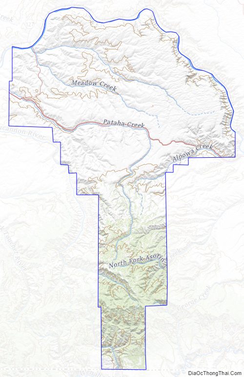
Garfield County Topographic Map
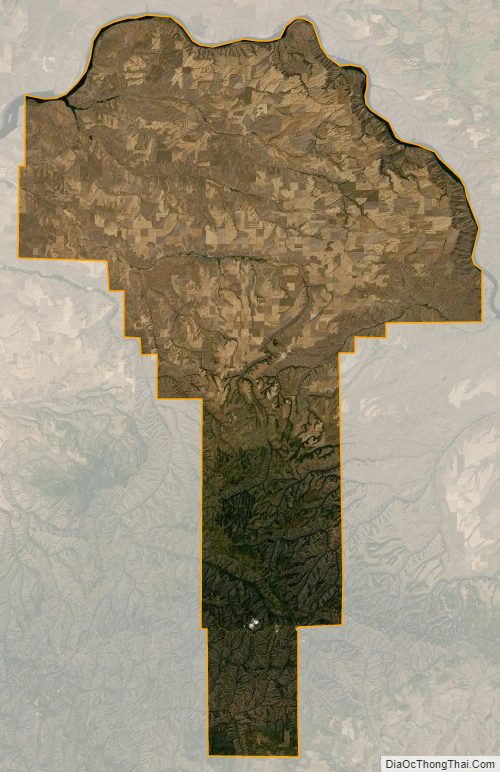
Garfield County Satellite Map
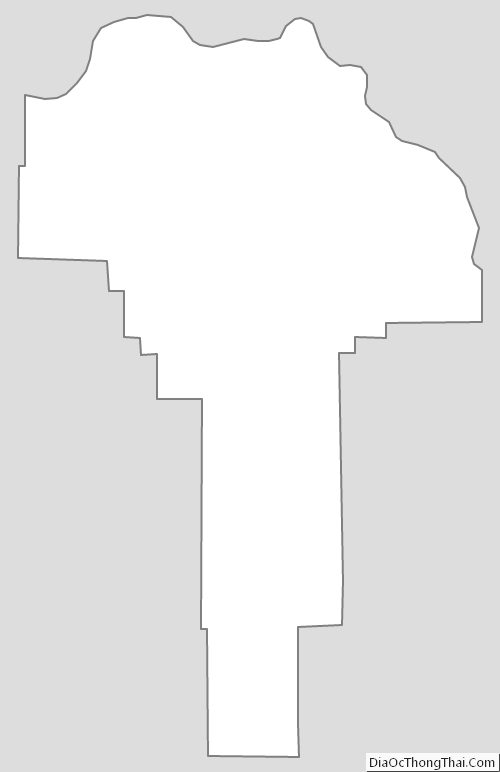
Garfield County Outline Map