Greene County is a county located in the U.S. state of North Carolina. As of the 2020 census, the population was 20,451. Its county seat is Snow Hill.
| Name: | Greene County |
|---|---|
| FIPS code: | 37-079 |
| State: | North Carolina |
| Founded: | 1799 |
| Named for: | Nathanael Greene |
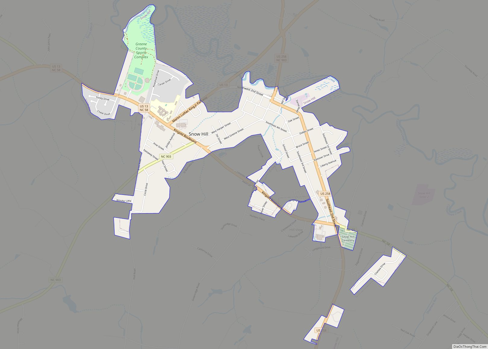
| Seat: | Snow Hill |
| Largest town: | Snow Hill |
| Total Area: | 266 sq mi (690 km²) |
| Land Area: | 266 sq mi (690 km²) |
| Population Density: | 76.8/sq mi (29.7/km²) |
| Time zone: | UTC−5 (Eastern) |
| Summer Time Zone (DST): | UTC−4 (EDT) |
| Website: | greenecountync.gov |
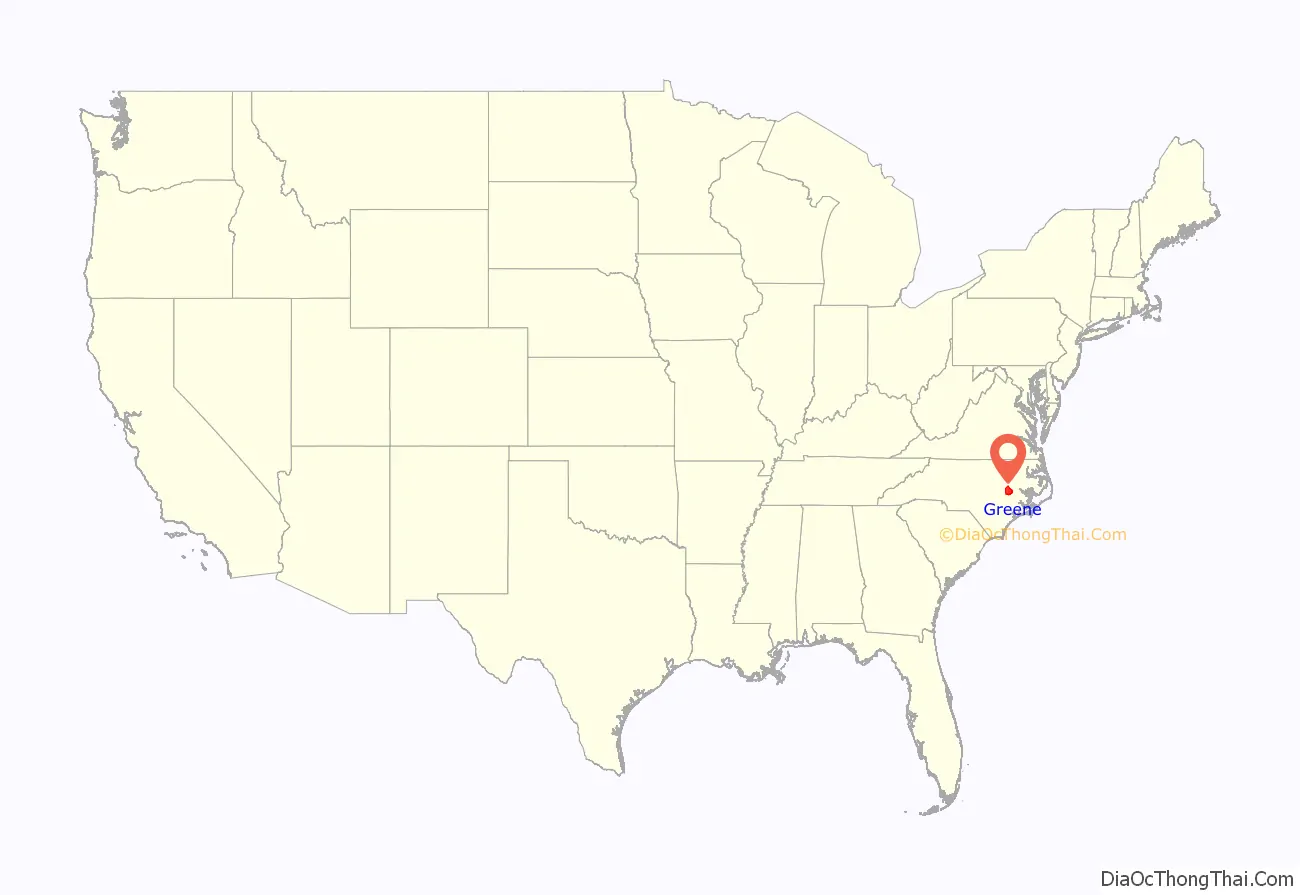
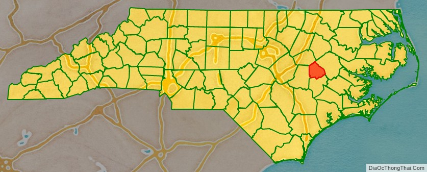
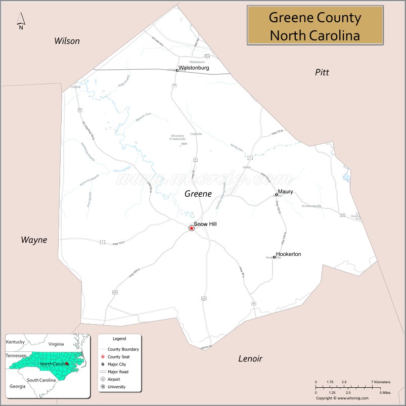
Greene County location map. Where is Greene County?
History
Greene County, being a part of land grant by King Charles II of England in 1663, was first settled around 1710 by immigrants from Maryland, Virginia, and parts of North Carolina. The original inhabitants of the area, the Tuscarora Indians, fought with these immigrants and on March 20–23, 1713, a fighting force of South Carolinians and Yamasee Indians, under Colonel Murice Moore, defeated the Tuscarora, under the leadership of Chief Hancock. This was the final major battle of the Tuscarora War at Fort Neoheroka near current day Snow Hill.
In 1758, the area now recognized as Greene and Lenoir Counties was separated from Johnston and named Dobbs for the Royal Governor. The county was formed in 1791 from the northern part of Dobbs County. It was originally named Glasgow County, for James Glasgow, North Carolina Secretary of State from 1777 to 1798. In 1799, Glasgow’s involvement in military land grant frauds forced him to resign and leave the state. Glasgow County was then renamed Greene County in honor of Nathanael Greene, one of General Washington’s right-hand men.
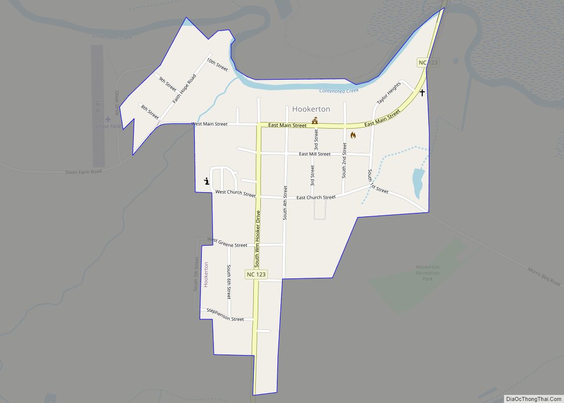
The county seat, Snow Hill, is the largest town and major commercial center in the county. The town draws its name from the historic white sandy banks of nearby Contentnea Creek.
Former Greene County
Present-day Greene County is the second county of that name in North Carolina. The first (also named for Nathanael Greene) is now Greene County, Tennessee. It was established in 1783, in what was then the western part of the state. That area was ceded to the federal government and became part of the Southwest Territory (1790–1796) and the State of Tennessee (after 1796).
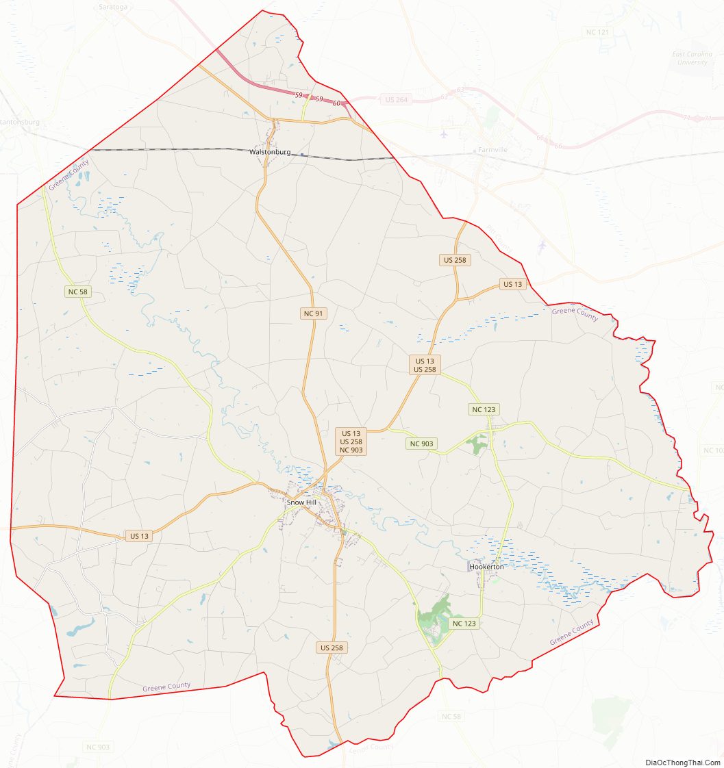
Greene County Road Map
Geography
According to the U.S. Census Bureau, the county has a total area of 266 square miles (690 km), of which 266 square miles (690 km) is land and 0.5 square miles (1.3 km) (0.2%) is water. Pitt–Greenville Airport (IATA: PGV, ICAO: KPGV, FAA LID: PGV) is the closest airport and it is located in Pitt County.
State and local protected areas
- Contentnea Creek Hunting Preserve
- Oak Hill Preserve
Major water bodies
- Contentnea Creek
- Middle Swamp
- Nahunta Swamp
- Reedy Branch (Trent River tributary)
- Sandy Run
- Turnage Millpond
- Wheat Swamp (Contentnea Creek tributary)
Adjacent counties
- Pitt County – east-northeast
- Wilson County – northwest
- Lenoir County – south
- Wayne County – west
Major highways
- I-587
- US 13
- US 258
- US 264
- US 264 Alt.
- NC 58
- NC 91
- NC 121
- NC 123
- NC 903
Greene County Topographic Map
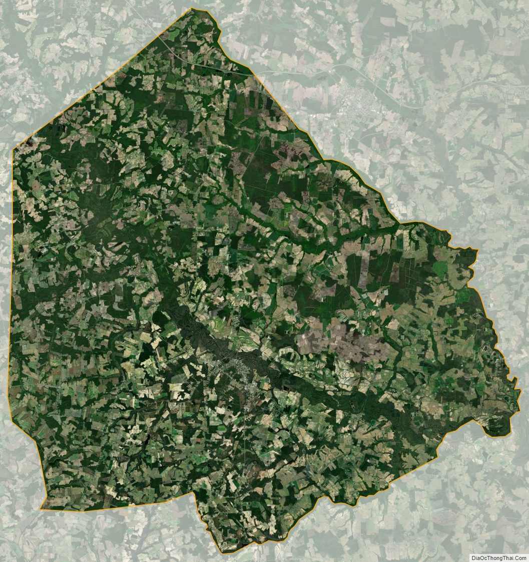
Greene County Satellite Map
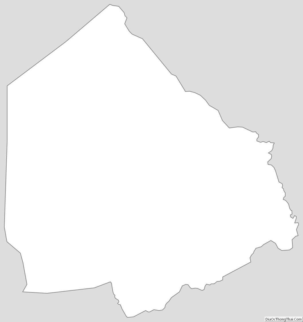
Greene County Outline Map