Wayne County is a county located in the U.S. state of North Carolina. As of the 2020 census, the population was 117,333. Its county seat is Goldsboro and it is home to Seymour Johnson Air Force Base.
Wayne County comprises the Goldsboro, NC Metropolitan Statistical Area.
| Name: | Wayne County |
|---|---|
| FIPS code: | 37-191 |
| State: | North Carolina |
| Founded: | 1779 |
| Named for: | Anthony Wayne |
| Seat: | Goldsboro |
| Largest city: | Goldsboro |
| Total Area: | 557 sq mi (1,440 km²) |
| Land Area: | 553 sq mi (1,430 km²) |
| Total Population: | 116,835 |
| Population Density: | 221.3/sq mi (85.4/km²) |
| Time zone: | UTC−5 (Eastern) |
| Summer Time Zone (DST): | UTC−4 (EDT) |
| Website: | www.waynegov.com |
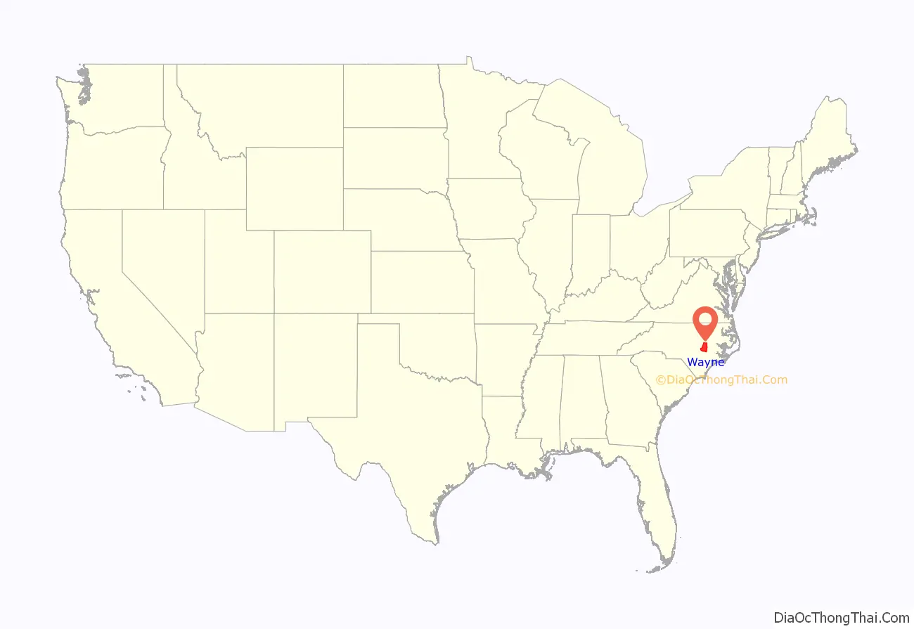
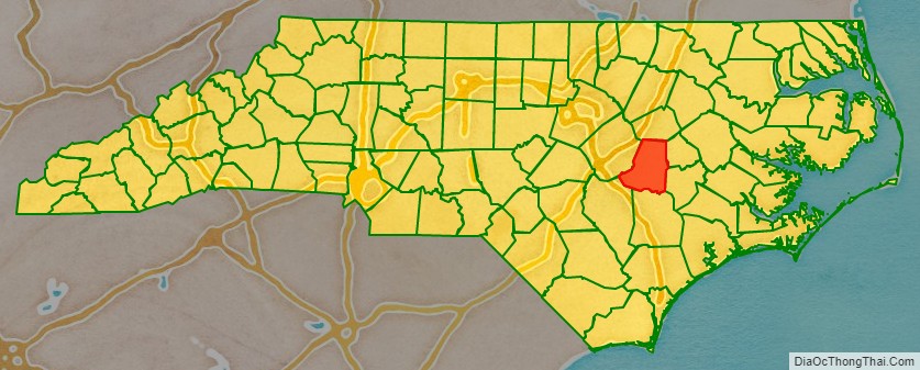
Wayne County location map. Where is Wayne County?
History
Prior to 1730, Native Americans were the only known occupants of the territory now known as Wayne County. Settlers trickled into the territory, occupying land along the Neuse River. There was no general migration here until after 1750; as populations built up in the coastal areas, some settlers moved west for land.
Wayne County was established during the American Revolutionary War on November 2, 1779, from the western part of Dobbs County. It was named for “Mad Anthony” Wayne, a general in the war. The act establishing the County provided that the first court should be held at the home of Josiah Sasser, at which time the justices were to decide on a place for all subsequent courts until a courthouse could be erected. By 1782 the commissioners were named. In 1787 an act was passed establishing Waynesborough on the west side of the Neuse River, on the land of Doctor Andrew Bass. The courthouse was built here.
In 1855 parts of Wayne County, Edgecombe County, Johnston County, and Nash County were combined to form Wilson County.
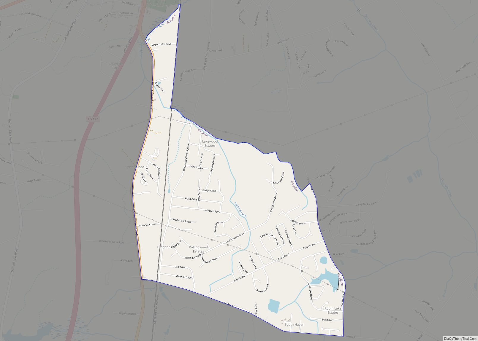
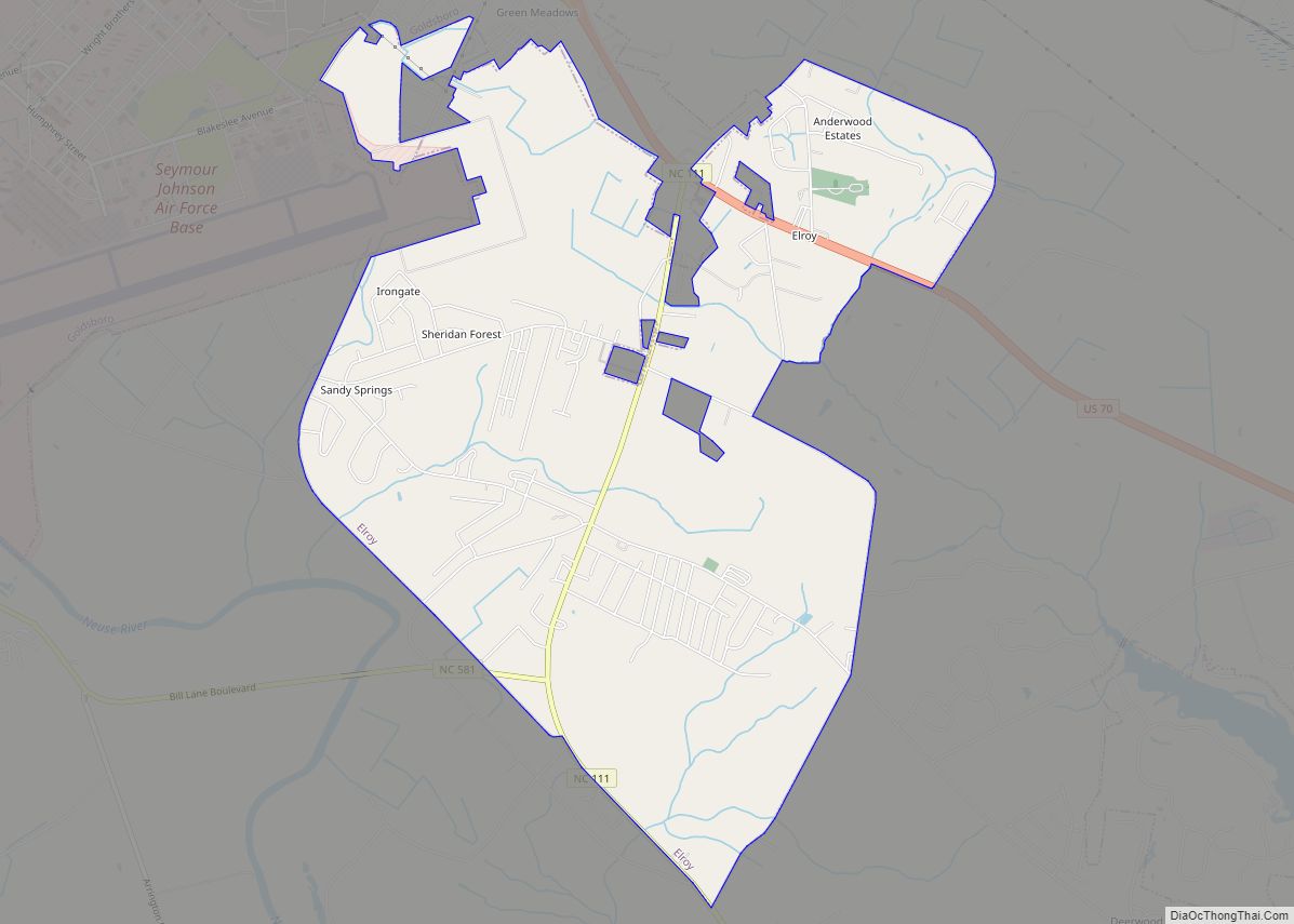
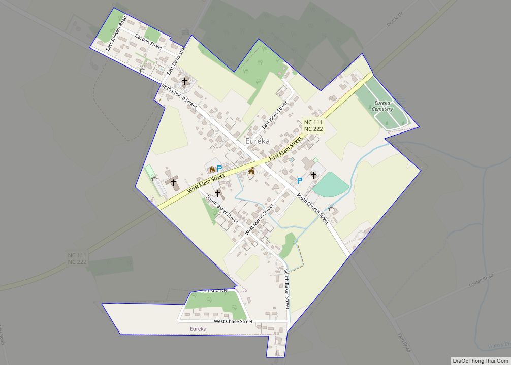
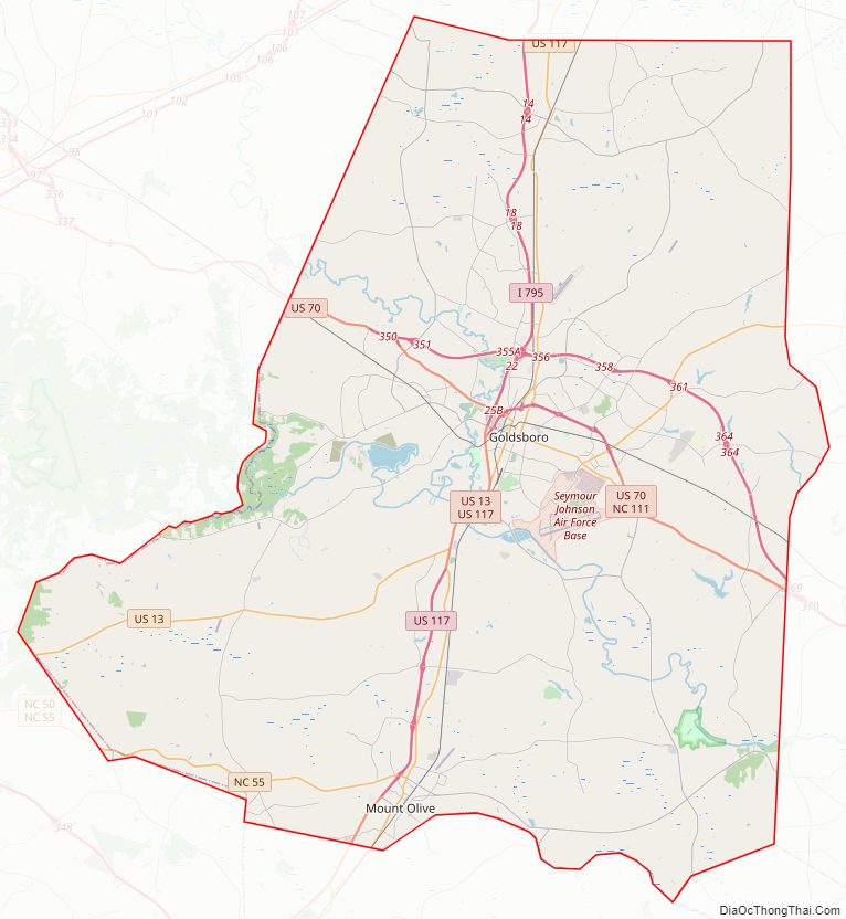
Wayne County Road Map
Geography
According to the U.S. Census Bureau, the county has a total area of 557 square miles (1,440 km), of which 553 square miles (1,430 km) is land and 3.8 square miles (9.8 km) (0.7%) is water.
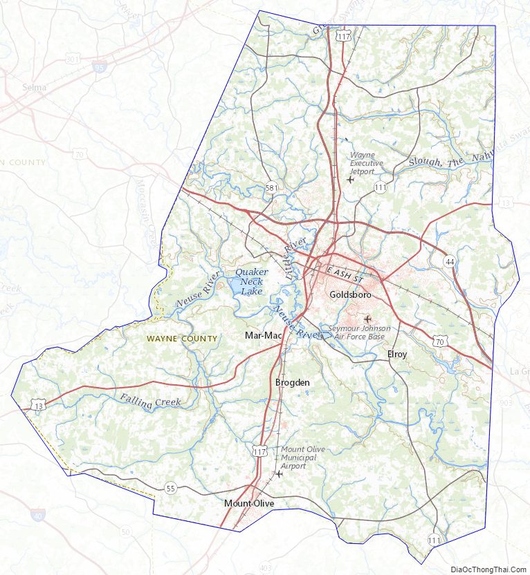
Wayne County’s surface is level to gently rolling uplands with broad bottoms along the rivers and some creeks. Elevations are predominantly 120 to 145 feet above sea level. The largest waterway, the Neuse River, bisects the lower central portion of the county and cuts a deep channel 20 to 40 feet deep as it flows in an eastward direction. Unusual river bluffs occur in the vicinity of Seven Springs. In addition to the Neuse River, the county is drained by the Little River, the Northeast Cape Fear River and numerous creeks.
Wayne County is underlain by unconsolidated beds of sand, clay and gravel. For the most part, these beds were deposited in seawater as the sea advanced and retreated during the geologic development of the Atlantic Coastal Plain. To a much lesser extent, streams deposited layers of sediment which mixed with that deposited on the sea floor.
The climate in Wayne County is characterized by warm summers and moderate winters. The average temperature is about 62 degrees. Annual precipitation is about 50 inches of rainfall per year, with the major portion occurring in the late spring and summer.
State and local protected areas/sites
- Charles B. Aycock Birthplace
- Goldsborough Bridge Battlefield
- Cliffs of the Neuse State Park
Major water bodies
- Bear Creek (North Fork Salt River tributary)
- Great Swamp
- Little River (Neuse River tributary)
- Juniper Swamp
- Nahunta Swamp
- Neuse River
- Northeast Cape Fear River
- Quaker Neck Lake
- Thoroughfare Swamp
- Water Branch (Richardson Creek tributary)
Adjacent counties
- Wilson County – north
- Greene County – east-northeast
- Lenoir County – east-southeast
- Duplin County – south
- Sampson County – southwest
- Johnston County – west
Major highways
- Future I-42 (Concurrency with US 70)
- I-795 / Future I-795
- US 13
- US 70
- US 70 Byp.
- US 117
- US 117 Alt.
- NC 50
- NC 55
- NC 111
- NC 222
- NC 403
- NC 581
- NC 581 Conn. (Connecter Route)
The main highway in Wayne County is US 70, which offers access to the North Carolina coast, the capital city of Raleigh and I-95. The only interstate in Wayne County is I-795, which is a direct connector with I-95 and US 264. US 70 has been designated as Future Interstate 42.
Major infrastructure
- Goldsboro Union Station
- Seymour Johnson Air Force Base
Wayne County Topographic Map
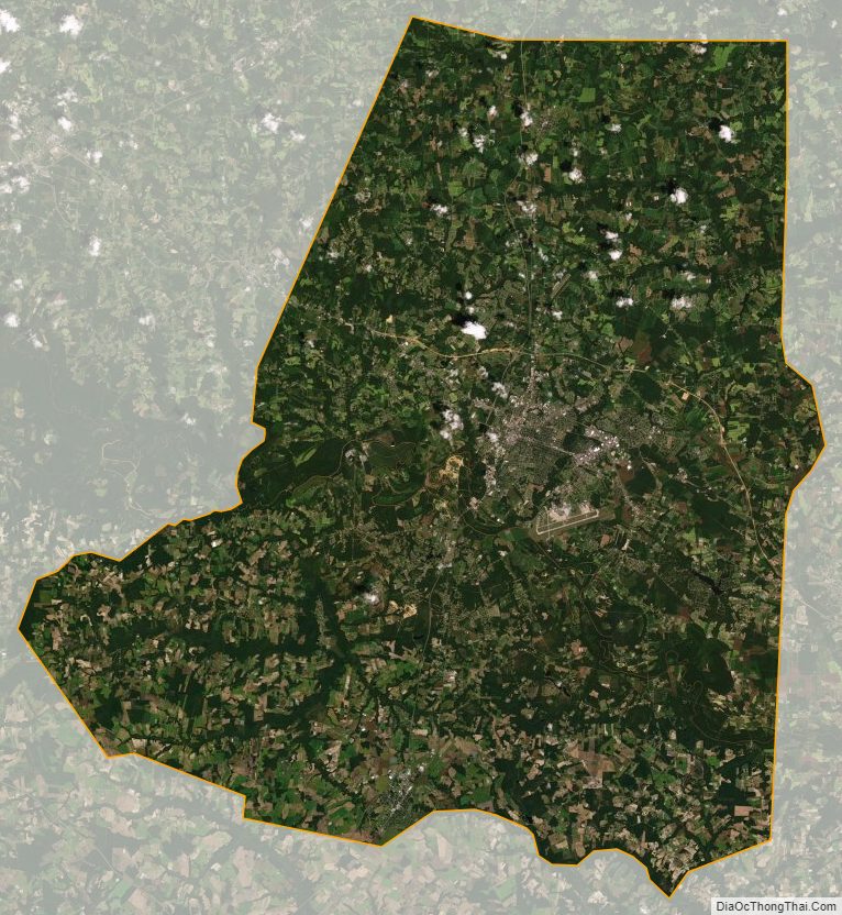
Wayne County Satellite Map
Wayne County Outline Map