Avery County is a county located in the U.S. state of North Carolina. As of the 2020 census, the population was 17,806. The county seat is Newland. The county seat was initially established in Elk Park when the county was first formed, but was moved to Newland upon completion of the courthouse in 1912. Founded in 1911, it is the youngest of North Carolina’s 100 counties.
| Name: | Avery County |
|---|---|
| FIPS code: | 37-011 |
| State: | North Carolina |
| Founded: | 1911 |
| Named for: | Waightstill Avery |
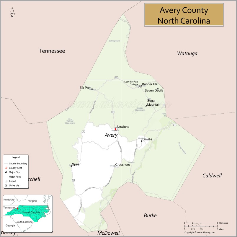
| Seat: | Newland |
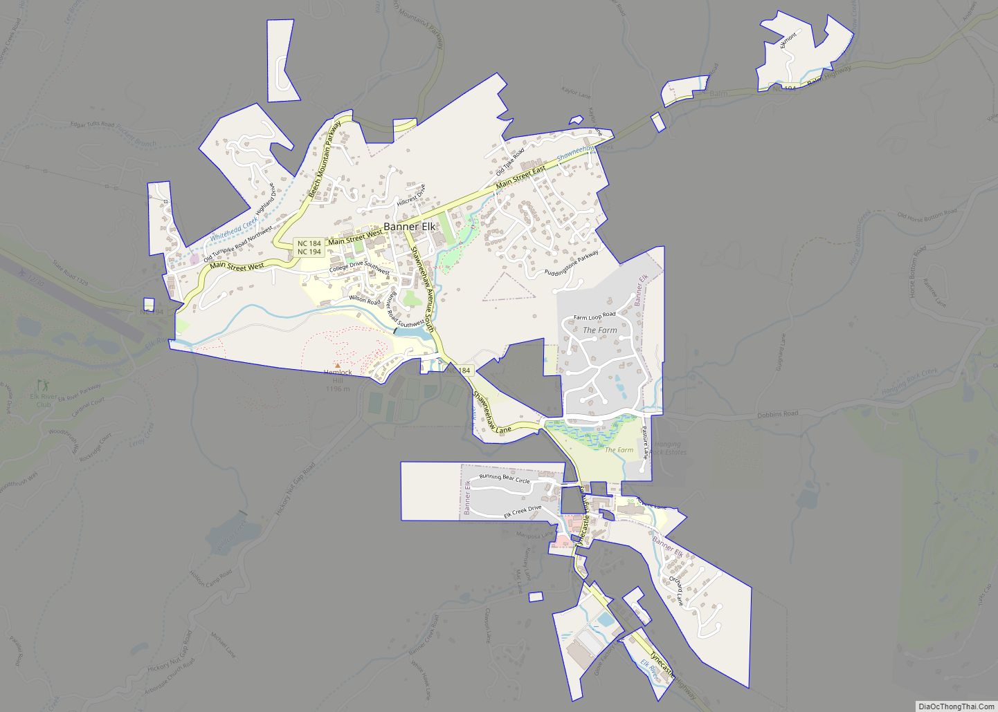
| Largest town: | Banner Elk |
| Total Area: | 247 sq mi (640 km²) |
| Land Area: | 247 sq mi (640 km²) |
| Total Population: | 17,864 |
| Population Density: | 187/sq mi (72.3/km²) |
| Time zone: | UTC−5 (Eastern) |
| Summer Time Zone (DST): | UTC−4 (EDT) |
| Website: | www.averycountync.gov |
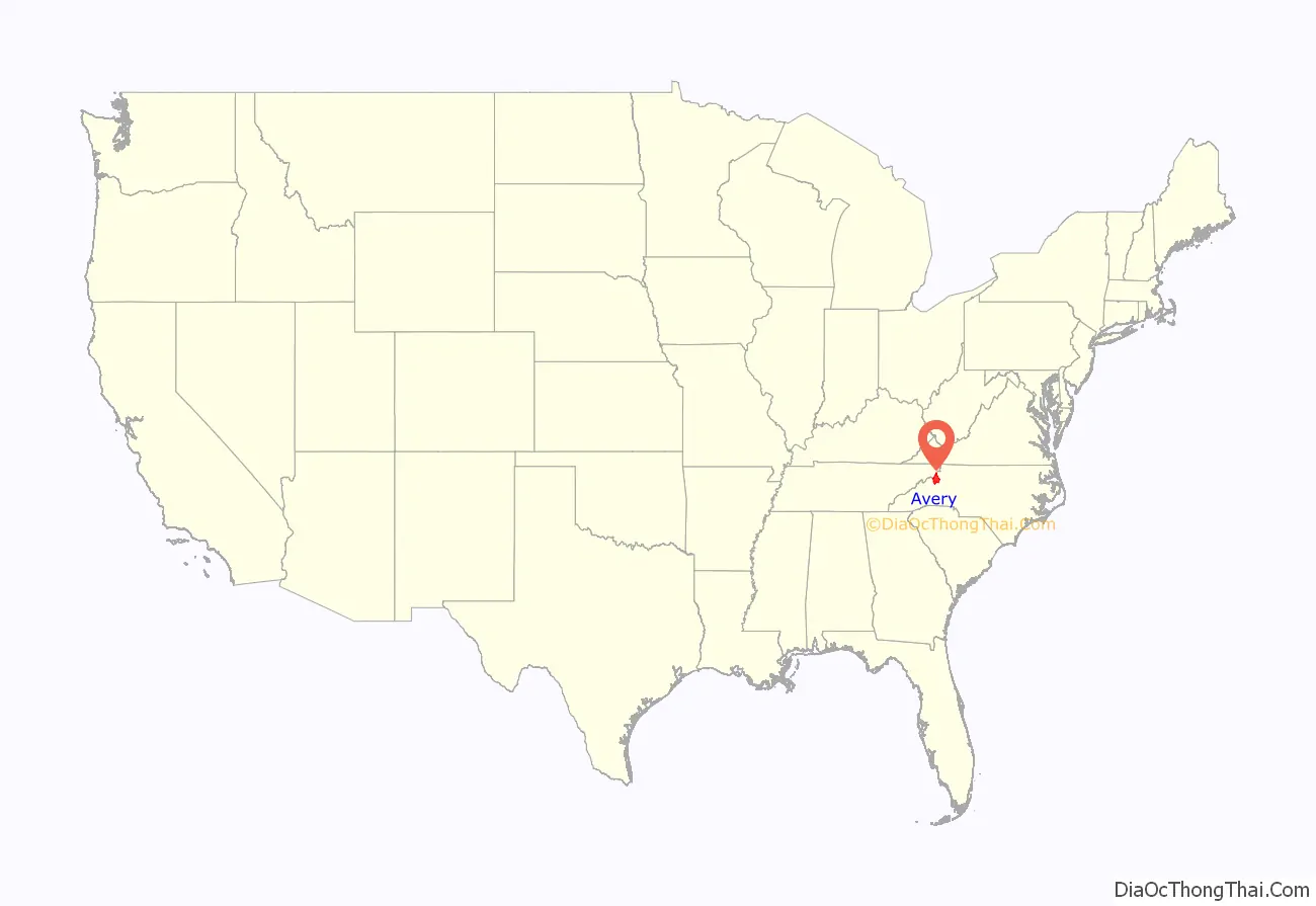
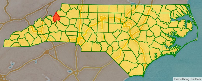
Avery County location map. Where is Avery County?
History
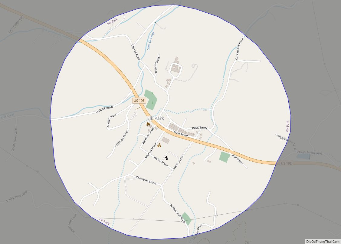
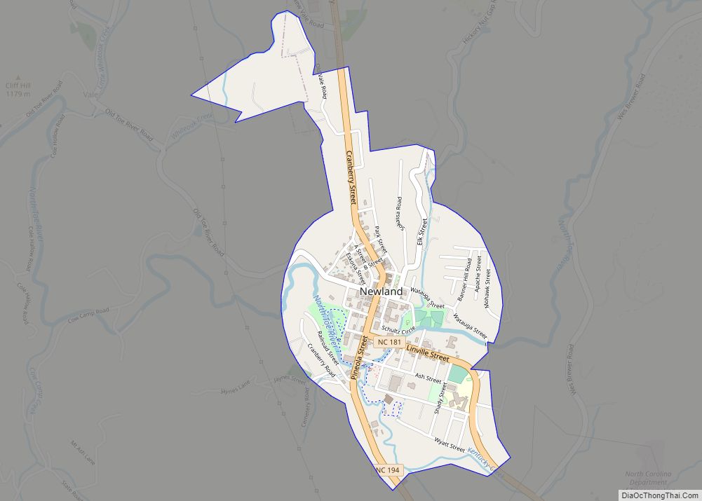
The county is the newest of North Carolina’s 100 counties. It was formed in 1911 from parts of Caldwell County, Mitchell County, and Watauga County. It was named for Waightstill Avery, a colonel in the American Revolutionary War and the first Attorney General of North Carolina (1777-1779). It is often noted for the large amount of Christmas trees that the county produces. The county seat was originally in the Town of Elk Park, which was then the largest town in the county, located on the county’s north end, on the Tennessee line. Upon completion of the county’s courthouse in 1912, the seat was moved to the central location of what was then an unincorporated area known as Fields of Toe, for the meadows along the head of the Toe River, in what is now the incorporated Town of Newland. The town was so named for then Lt. Gov. William Newland, an influential Democrat, who helped garner support in the then heavily Democratic legislature in Raleigh, for Avery County, an overwhelmingly pro-Union Republican area, becoming the state’s 100th and final county.
According to local legend, Elk Park citizens were upset at the decision to move of the county seat from their town, and they refused to give up the books. The then sheriff, like all county officials, was a Democrat and an interim appointee of the Democratic governor in Raleigh, who would hold office from July 1, 1911, until the next election cycle in late 1912, when the almost all-Republican electorate would undoubtedly vote in all Republicans as local officials. The sheriff was leery of confronting the irate local Elk Park citizens, so his wife baked cookies and had their pastor deliver them as a peace offering. The citizens then cheerfully handed over the books, which were sent to the new offices at the new courthouse in Newland
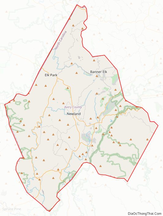
Avery County Road Map
Geography
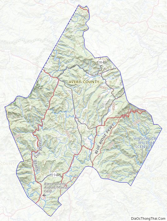
According to the U.S. Census Bureau, the county has a total area of 247 square miles (640 km), of which 247 square miles (640 km) is land and 0.1 square miles (0.26 km) (0.06%) is water.
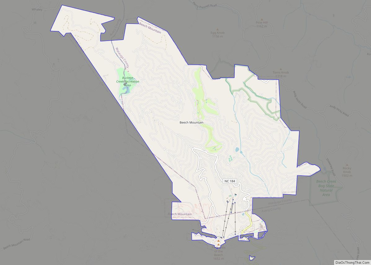
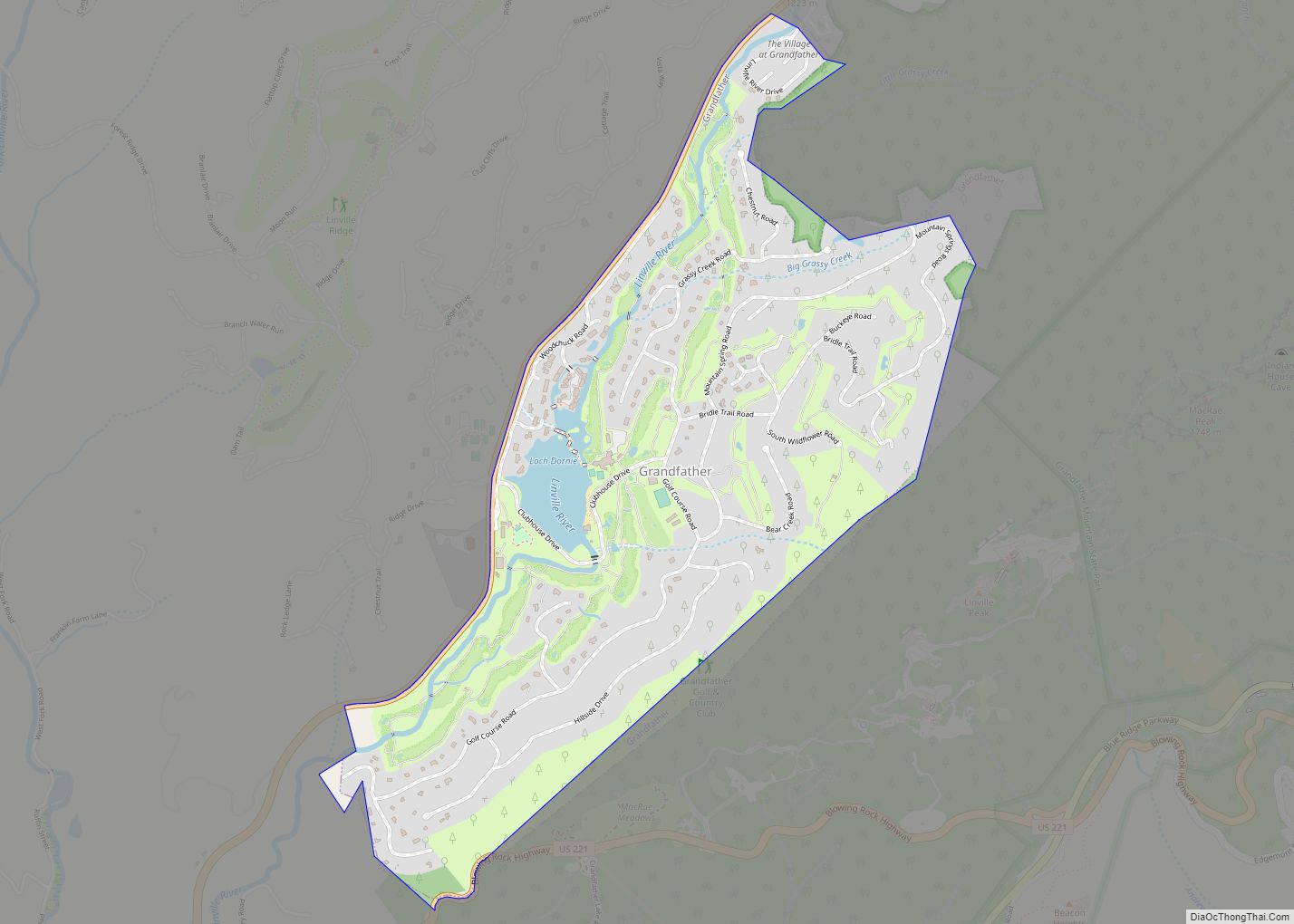
Avery County is extremely rural and mountainous with all of the county’s terrain located within the Appalachian Mountains range; with a mean altitude of 3,510 feet or 1,070 metres it is the second-highest county east of the Mississippi behind nearby Haywood County. The highest point in the county is Grassy Ridge Bald, 6,165 feet (1,879 m) above sea level. Most of Grandfather Mountain, whose highest point is 5,946 feet (1,812 m) Calloway Peak on the tri-point bordering Watauga and Caldwell Counties, is within Avery County. At 5,526 feet or 1,684 metres, Beech Mountain (also shared with Watauga County) is the highest incorporated community east of the Mississippi River, while at 3,606 feet or 1,099 metres Newland is the highest county seat in the Eastern United States.
National protected areas
- Blue Ridge Parkway (part)
- Pisgah National Forest (part)
State and local protected areas
- Bear Paw State Natural Area
- Gill State Forest (part)
- Grandfather Mountain State Park (part)
- Pineola Bog State Natural Area
- Sugar Mountain Bog State Natural Area
- Yellow Mountain State Natural Area (part)
Major water bodies
- Buckeye Creek
- Cranberry Creek
- Little Horse Creek
- Linville River
- Mill Creek
- North Harper Creek
- North Toe River
- Watauga River
Adjacent counties
- Johnson County, Tennessee – north
- Watauga County – northeast
- Caldwell County – east
- Burke County – south
- McDowell County – south
- Mitchell County – west
- Carter County, Tennessee – northwest
Avery County Topographic Map
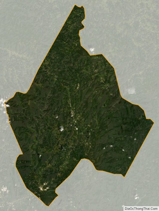
Avery County Satellite Map
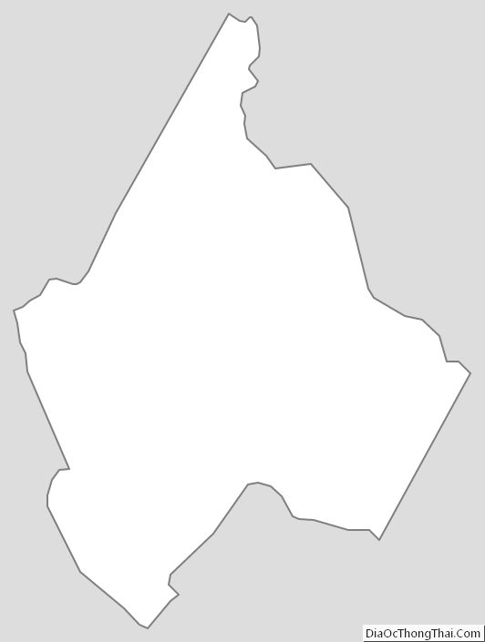
Avery County Outline Map