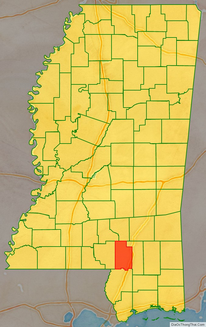
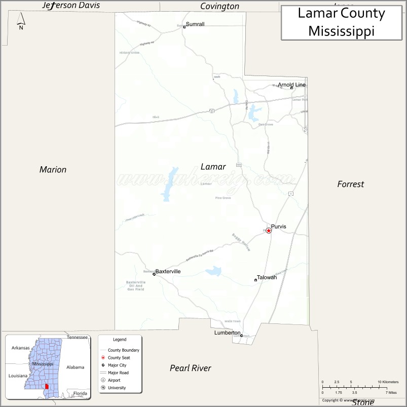
Lamar County is a county located in the U.S. state of Mississippi. As of the 2020 census, the population was 64,222. Its county seat is Purvis. Named for Confederate Lucius Quintus Cincinnatus Lamar, the county was carved out of Marion County to the west in 1904.
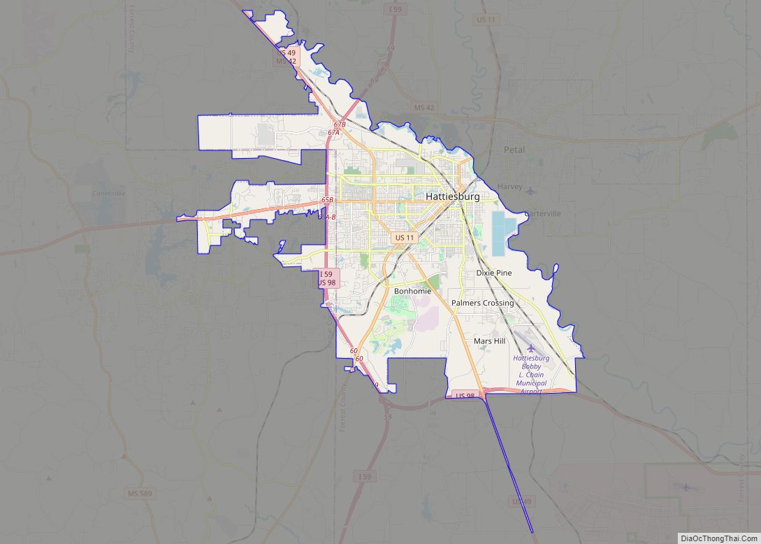
Lamar County is part of the Hattiesburg, MS Metropolitan Statistical Area. It is largely a rural county, except for its northeast quarter.
| Name: | Lamar County |
|---|---|
| FIPS code: | 28-073 |
| State: | Mississippi |
| Founded: | 1904 |
| Named for: | Lucius Quintus Cincinnatus Lamar |
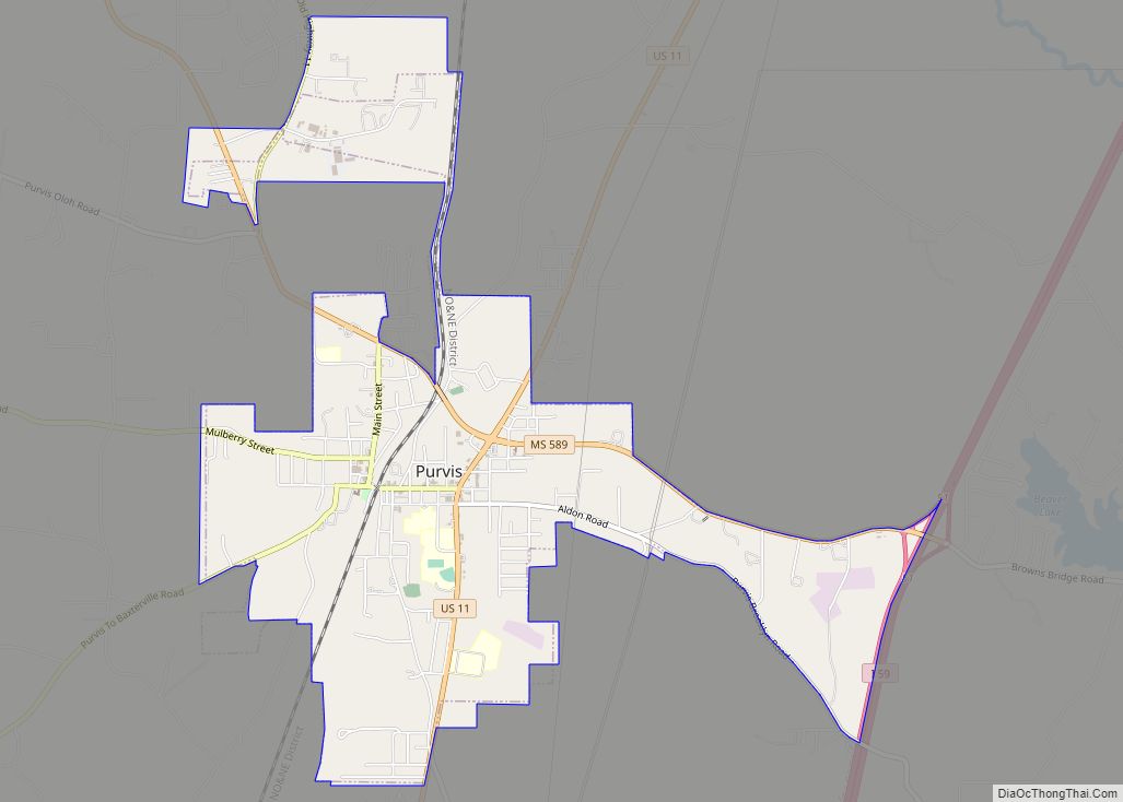
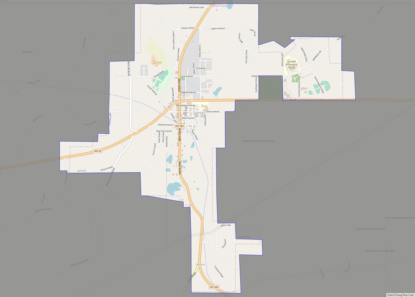
| Seat: | Purvis |
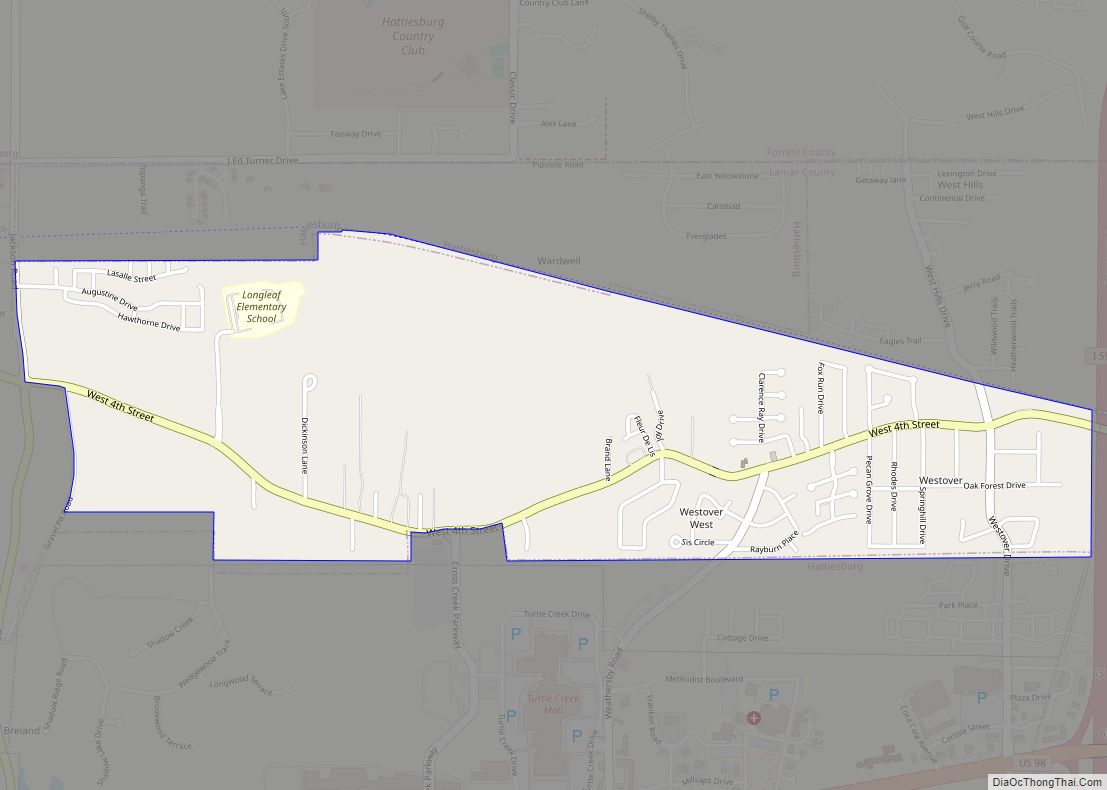
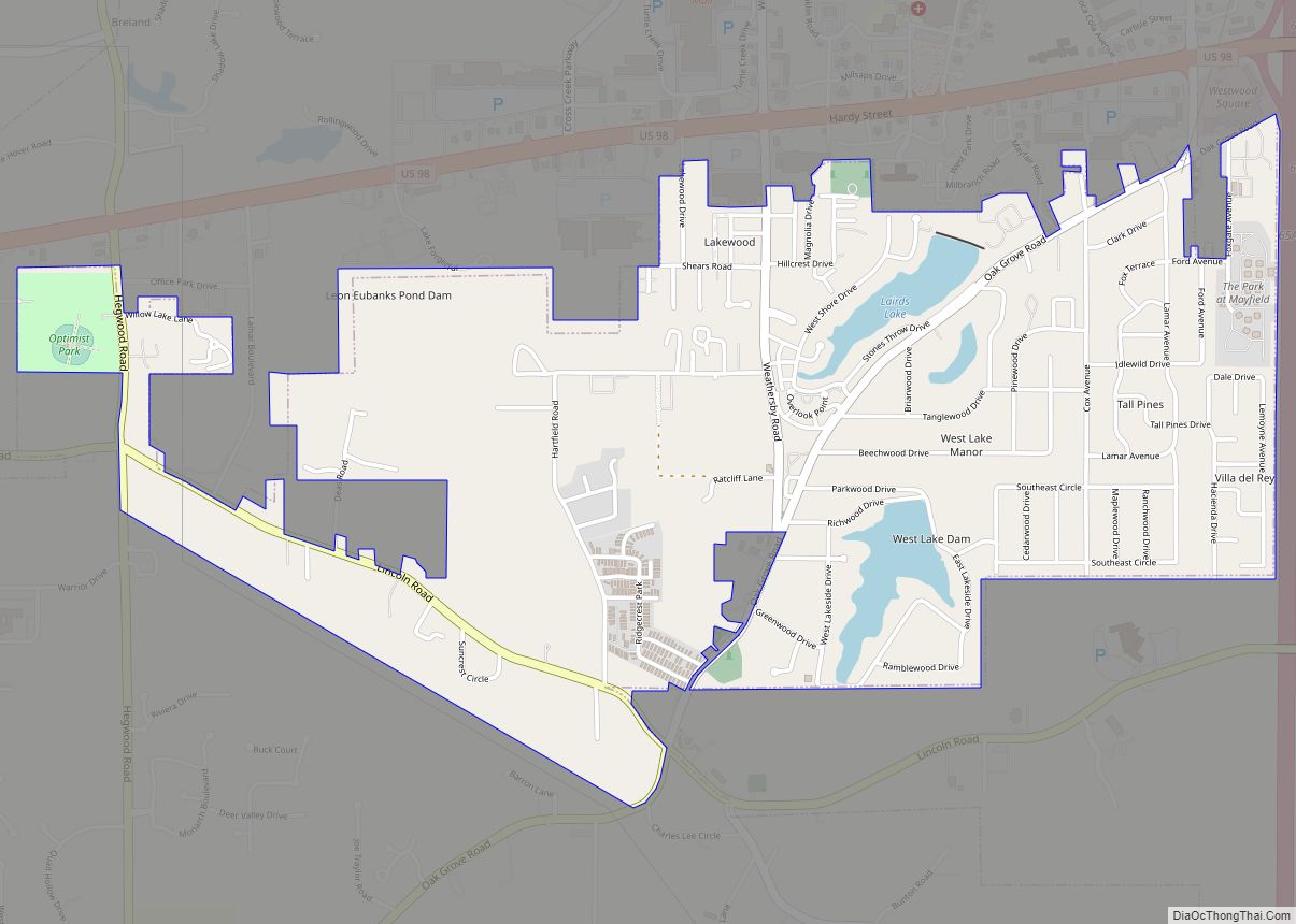
| Largest city: | West Hattiesburg |
| Total Area: | 500 sq mi (1,000 km²) |
| Land Area: | 497 sq mi (1,290 km²) |
| Total Population: | 64,222 |
| Population Density: | 130/sq mi (50/km²) |
| Time zone: | UTC−6 (Central) |
| Summer Time Zone (DST): | UTC−5 (CDT) |
| Website: | www.lamarcountyms.gov/11/index.php |
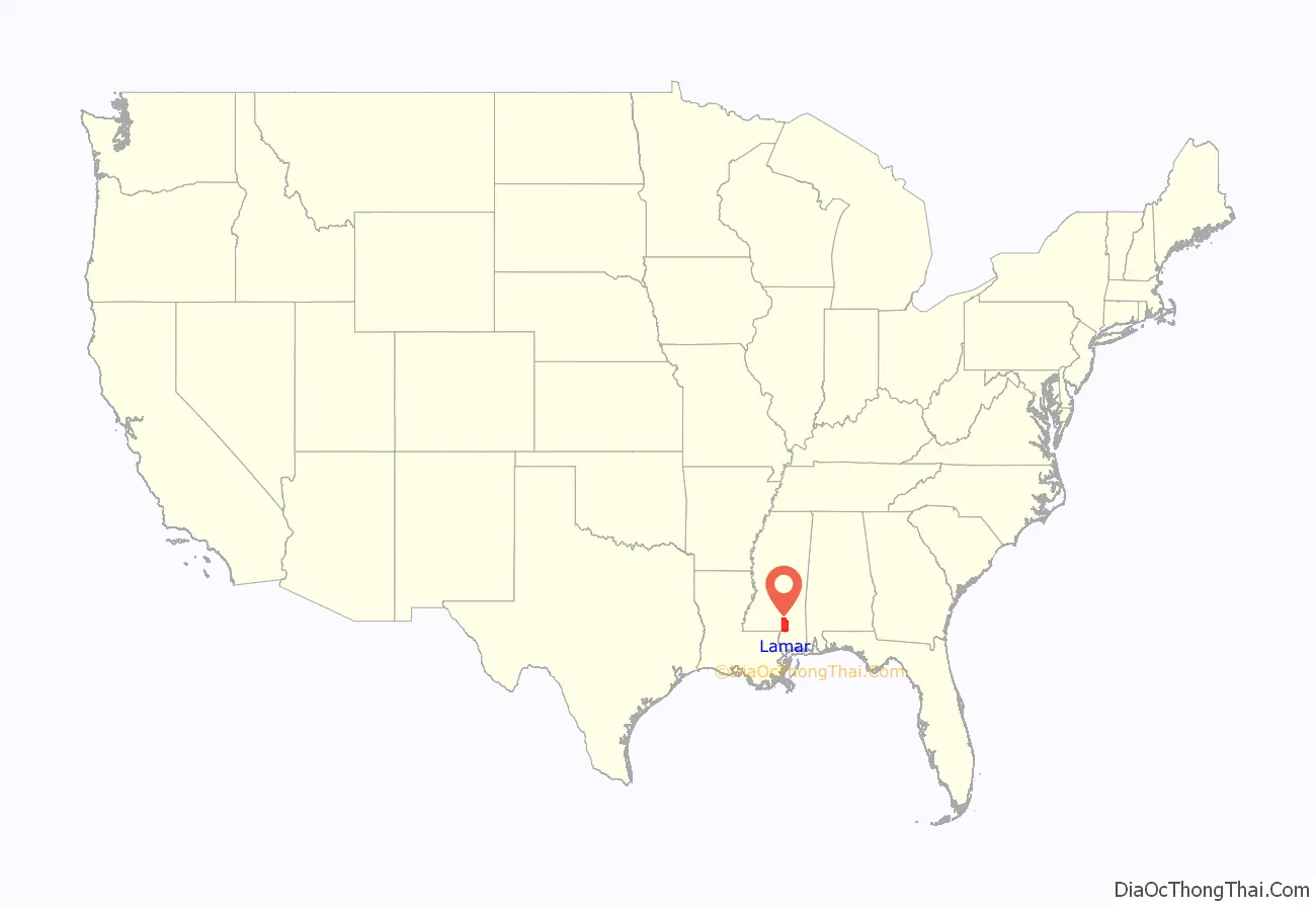
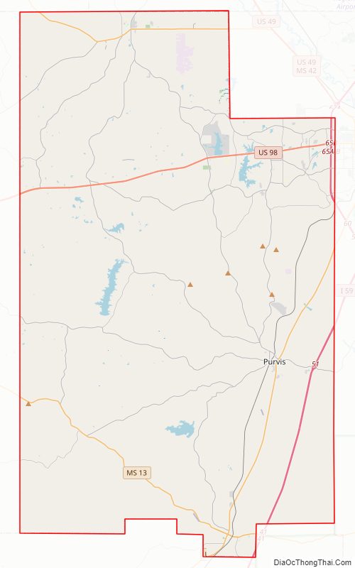
Lamar County location map. Where is Lamar County?
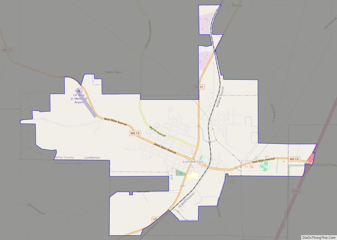
Lamar County Road Map
Geography
According to the U.S. Census Bureau, the county has a total area of 500 square miles (1,300 km), of which 497 square miles (1,290 km) is land and 3.4 square miles (8.8 km) (0.7%) is water.
Major highways
- Interstate 59
- U.S. Highway 11
- U.S. Highway 98
- Mississippi Highway 13
- Mississippi Highway 42
- Mississippi Highway 44
Adjacent counties
- Covington County (north)
- Forrest County (east)
- Pearl River County (south)
- Marion County (west)
- Jefferson Davis County (northwest)
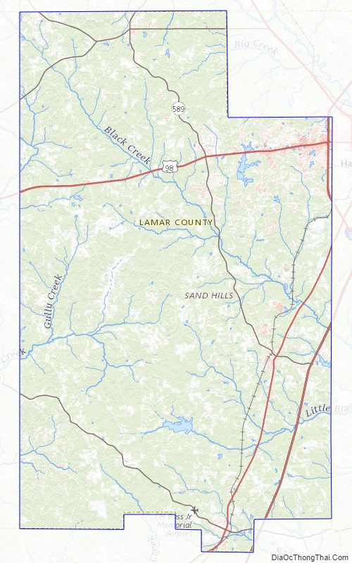
Lamar County Topographic Map
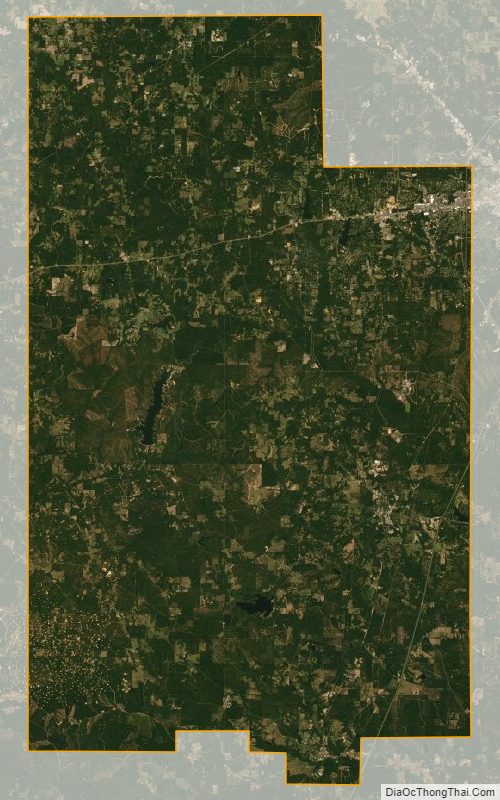
Lamar County Satellite Map
Lamar County Outline Map