Lumberton is a city in Lamar and Pearl River counties, Mississippi, United States. It is part of the Hattiesburg, Mississippi Metropolitan Statistical Area. The population was 2,086 at the 2010 census.
| Name: | Lumberton city |
|---|---|
| LSAD Code: | 25 |
| LSAD Description: | city (suffix) |
| State: | Mississippi |
| County: | Lamar County, Pearl River County |
| Elevation: | 295 ft (90 m) |
| Total Area: | 7.13 sq mi (18.47 km²) |
| Land Area: | 7.11 sq mi (18.41 km²) |
| Water Area: | 0.02 sq mi (0.06 km²) |
| Total Population: | 1,617 |
| Population Density: | 227.46/sq mi (87.83/km²) |
| ZIP code: | 39455 |
| Area code: | 601 |
| FIPS code: | 2842640 |
| GNISfeature ID: | 0693845 |
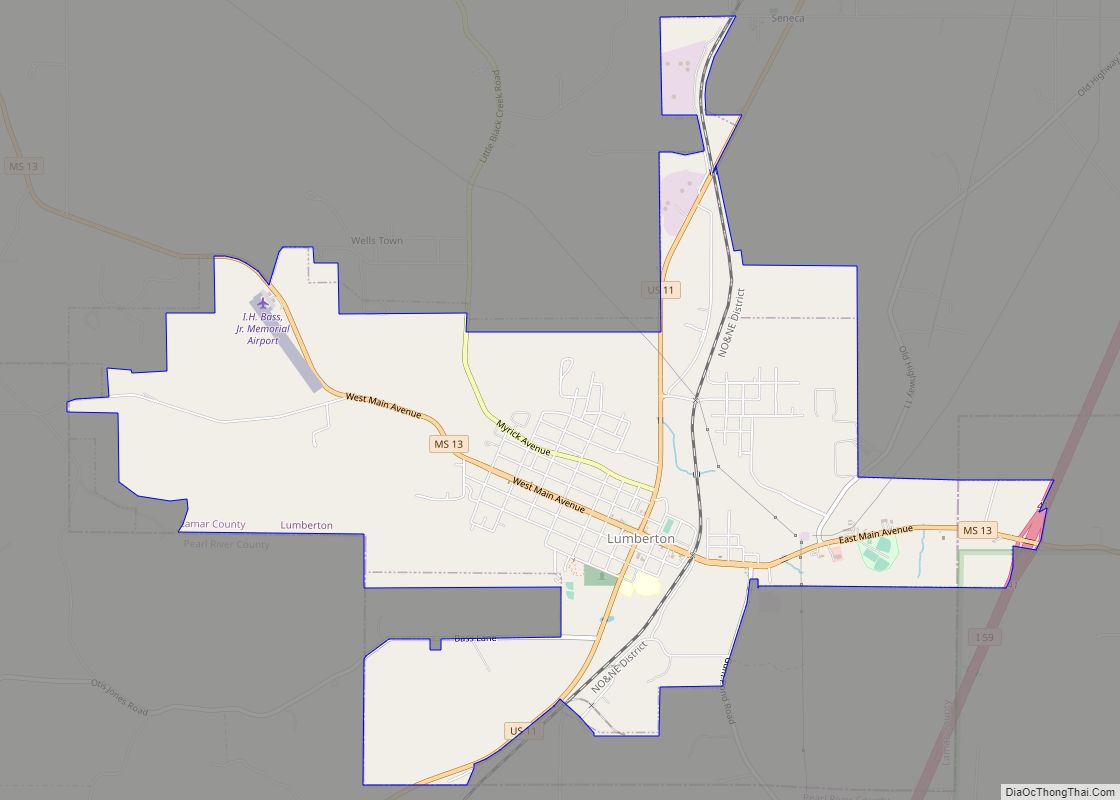
Online Interactive Map
Click on ![]() to view map in "full screen" mode.
to view map in "full screen" mode.
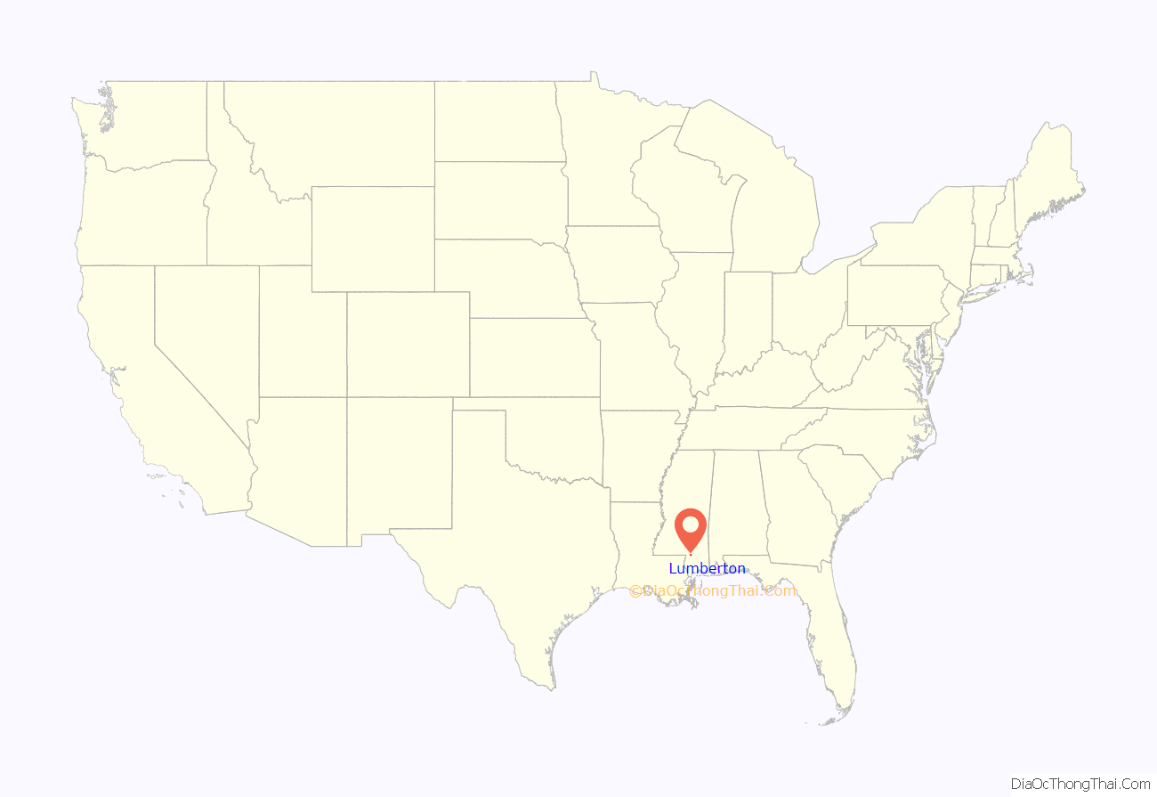
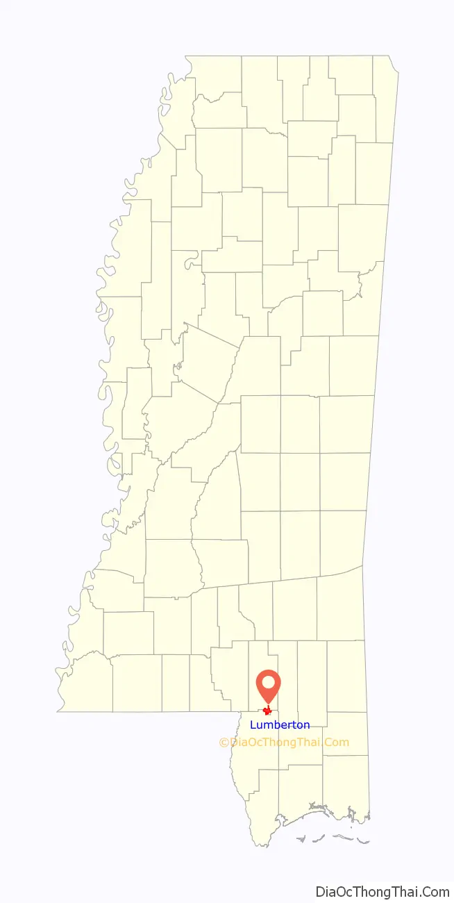
Lumberton location map. Where is Lumberton city?
History
The city was named for the local lumber industry.
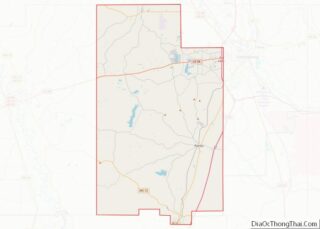
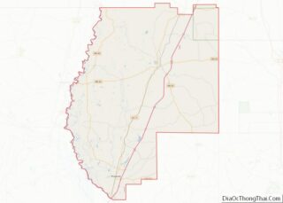
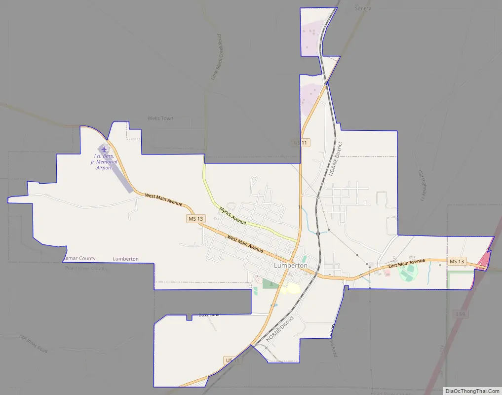
Lumberton Road Map
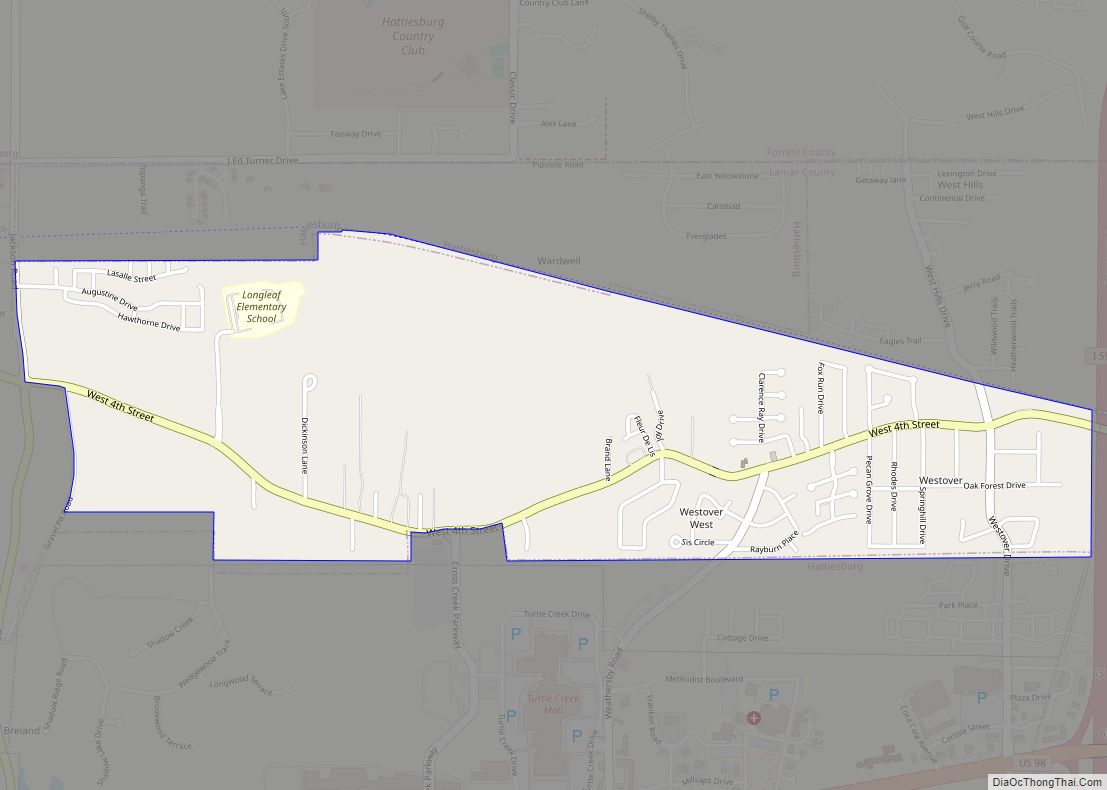
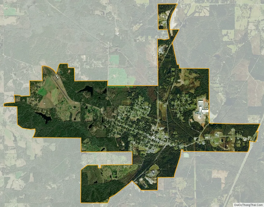
Lumberton city Satellite Map
Geography
Lumberton is located at 31°0′14″N 89°27′13″W / 31.00389°N 89.45361°W / 31.00389; -89.45361 (31.003888, -89.453544). Most of the city is in Lamar County, with a small portion extending east into adjacent Pearl River County. In the 2000 census, 2,200 of the city’s 2,228 residents (98.7%) lived in Lamar County and 28 (1.3%) in Pearl River County.
According to the United States Census Bureau, the city has a total area of 7.3 square miles (18.9 km), of which 7.3 square miles (18.8 km) is land and 0.04 square mile (0.1 km) (0.27%) is water.
See also
Map of Mississippi State and its subdivision:- Adams
- Alcorn
- Amite
- Attala
- Benton
- Bolivar
- Calhoun
- Carroll
- Chickasaw
- Choctaw
- Claiborne
- Clarke
- Clay
- Coahoma
- Copiah
- Covington
- Desoto
- Forrest
- Franklin
- George
- Greene
- Grenada
- Hancock
- Harrison
- Hinds
- Holmes
- Humphreys
- Issaquena
- Itawamba
- Jackson
- Jasper
- Jefferson
- Jefferson Davis
- Jones
- Kemper
- Lafayette
- Lamar
- Lauderdale
- Lawrence
- Leake
- Lee
- Leflore
- Lincoln
- Lowndes
- Madison
- Marion
- Marshall
- Monroe
- Montgomery
- Neshoba
- Newton
- Noxubee
- Oktibbeha
- Panola
- Pearl River
- Perry
- Pike
- Pontotoc
- Prentiss
- Quitman
- Rankin
- Scott
- Sharkey
- Simpson
- Smith
- Stone
- Sunflower
- Tallahatchie
- Tate
- Tippah
- Tishomingo
- Tunica
- Union
- Walthall
- Warren
- Washington
- Wayne
- Webster
- Wilkinson
- Winston
- Yalobusha
- Yazoo
- Alabama
- Alaska
- Arizona
- Arkansas
- California
- Colorado
- Connecticut
- Delaware
- District of Columbia
- Florida
- Georgia
- Hawaii
- Idaho
- Illinois
- Indiana
- Iowa
- Kansas
- Kentucky
- Louisiana
- Maine
- Maryland
- Massachusetts
- Michigan
- Minnesota
- Mississippi
- Missouri
- Montana
- Nebraska
- Nevada
- New Hampshire
- New Jersey
- New Mexico
- New York
- North Carolina
- North Dakota
- Ohio
- Oklahoma
- Oregon
- Pennsylvania
- Rhode Island
- South Carolina
- South Dakota
- Tennessee
- Texas
- Utah
- Vermont
- Virginia
- Washington
- West Virginia
- Wisconsin
- Wyoming