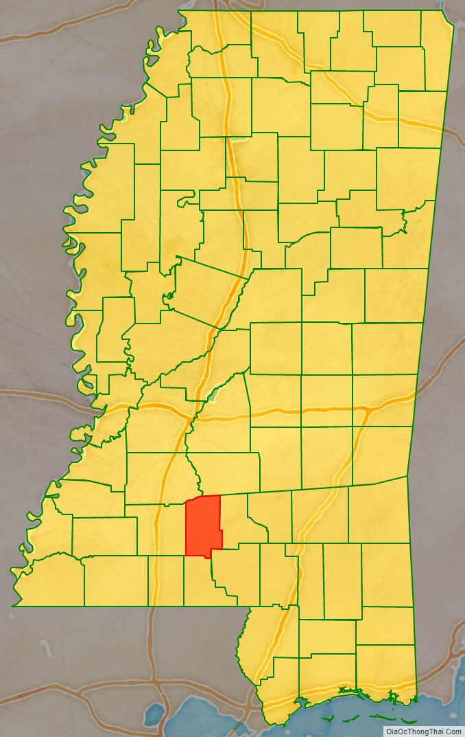
Lawrence County is a county located in the U.S. state of Mississippi. As of the 2020 census, the population was 12,016. Its county seat is Monticello. The county is named for the naval hero James Lawrence.
| Name: | Lawrence County |
|---|---|
| FIPS code: | 28-077 |
| State: | Mississippi |
| Founded: | 1814 |
| Named for: | James Lawrence |
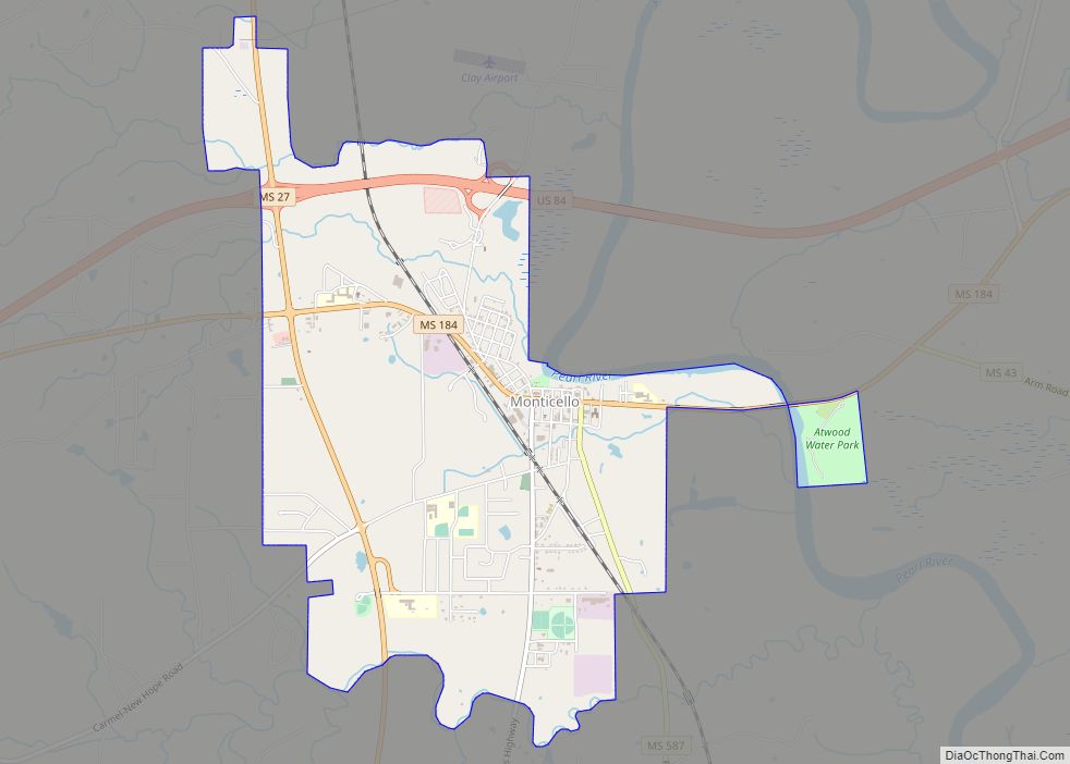
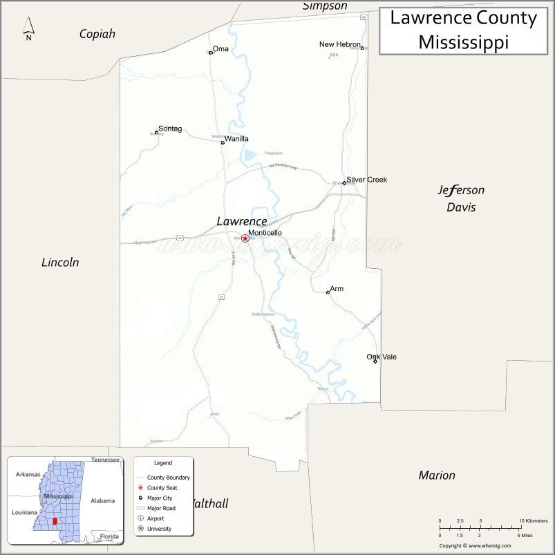
| Seat: | Monticello |
| Largest town: | Monticello |
| Total Area: | 436 sq mi (1,130 km²) |
| Land Area: | 431 sq mi (1,120 km²) |
| Total Population: | 12,016 |
| Population Density: | 28/sq mi (11/km²) |
| Time zone: | UTC−6 (Central) |
| Summer Time Zone (DST): | UTC−5 (CDT) |
| Website: | lawrencecountyms.com |
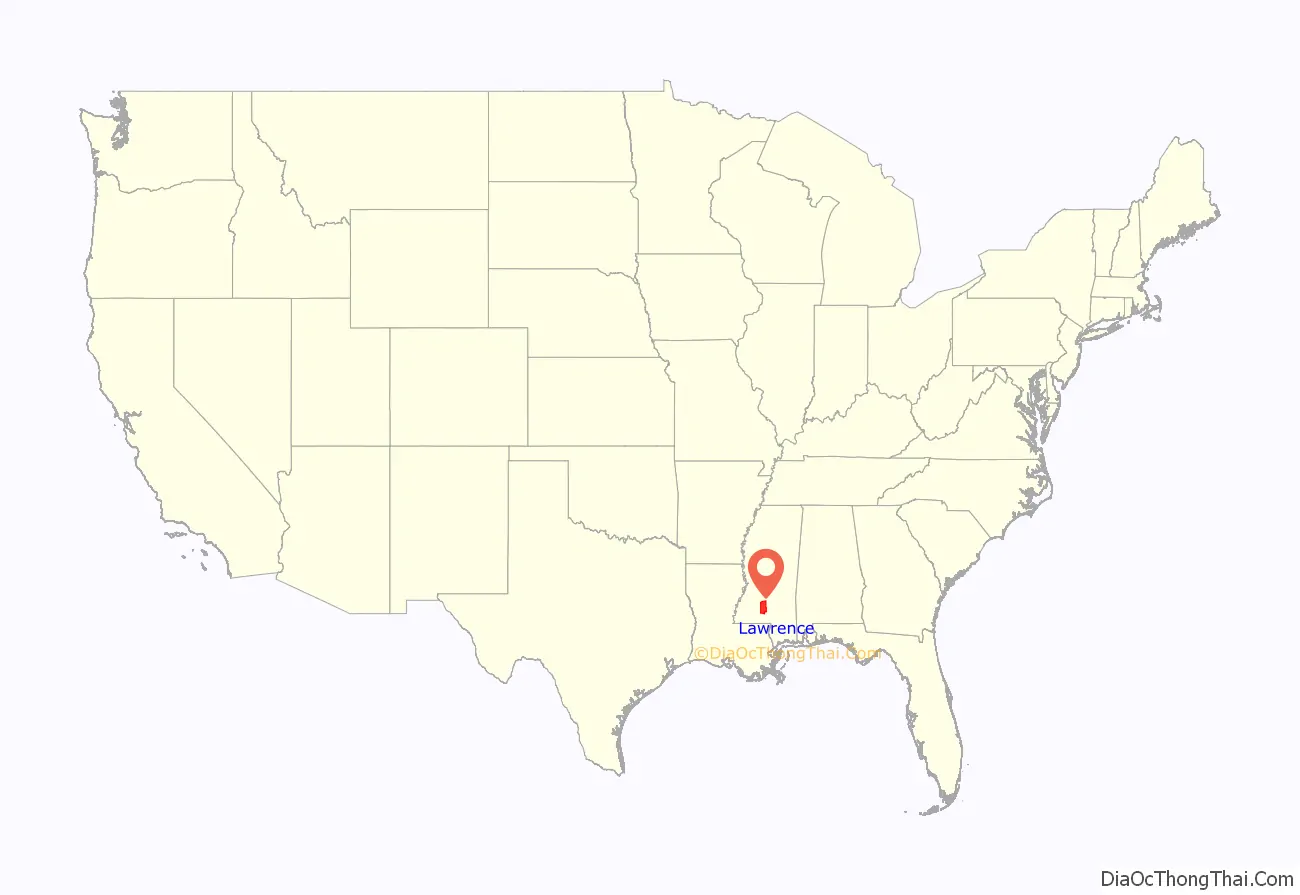
Lawrence County location map. Where is Lawrence County?
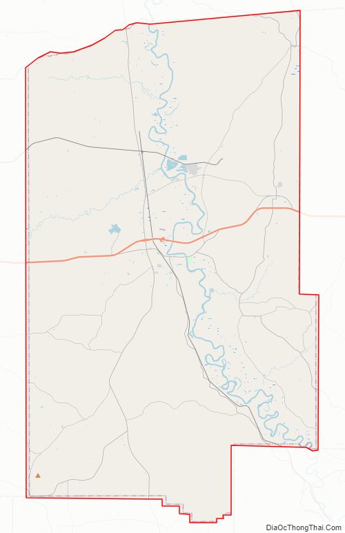
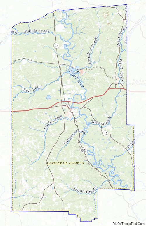
Lawrence County Road Map
Geography
According to the U.S. Census Bureau, the county has a total area of 436 square miles (1,130 km), of which 431 square miles (1,120 km) is land and 5.1 square miles (13 km) (1.2%) is water.
Major highways
- U.S. Route 84
- Mississippi Highway 27
- Mississippi Highway 43
- Mississippi Highway 44
Adjacent counties
- Simpson County (northeast)
- Jefferson Davis County (east)
- Marion County (southeast)
- Walthall County (south)
- Lincoln County (west)
- Copiah County (northwest)
Lawrence County Topographic Map
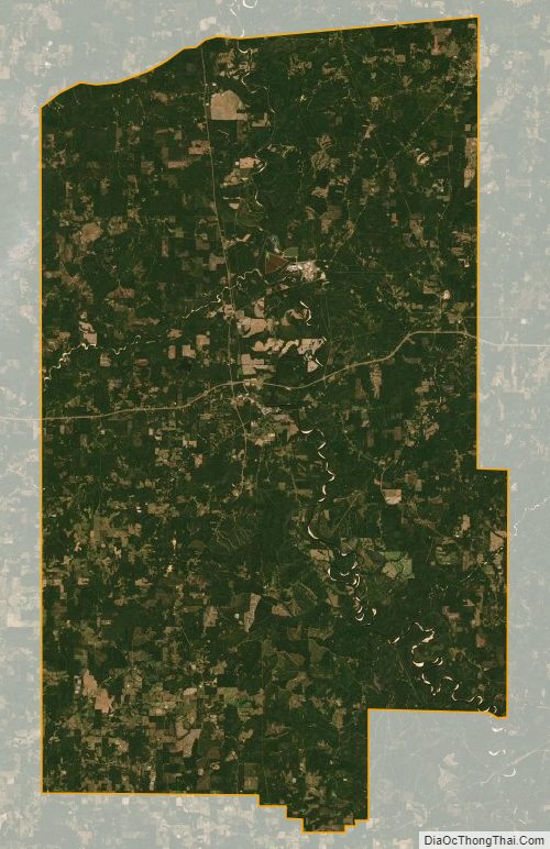
Lawrence County Satellite Map
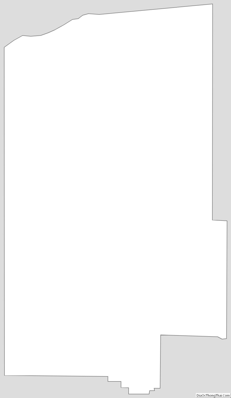
Lawrence County Outline Map