Monticello is a town in and the county seat of Lawrence County, Mississippi, United States. The population was 1,571 at the 2010 census.
| Name: | Monticello town |
|---|---|
| LSAD Code: | 43 |
| LSAD Description: | town (suffix) |
| State: | Mississippi |
| County: | Lawrence County |
| Elevation: | 194 ft (59 m) |
| Total Area: | 4.26 sq mi (11.04 km²) |
| Land Area: | 4.17 sq mi (10.80 km²) |
| Water Area: | 0.09 sq mi (0.24 km²) |
| Total Population: | 1,441 |
| Population Density: | 345.48/sq mi (133.39/km²) |
| ZIP code: | 39654 |
| Area code: | 601 |
| FIPS code: | 2848560 |
| GNISfeature ID: | 0673748 |
| Website: | www.monticello.ms.gov |
Online Interactive Map
Click on ![]() to view map in "full screen" mode.
to view map in "full screen" mode.
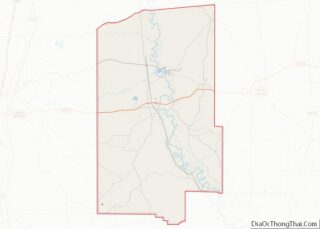
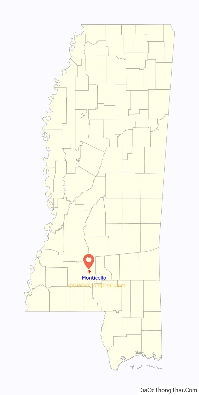
Monticello location map. Where is Monticello town?

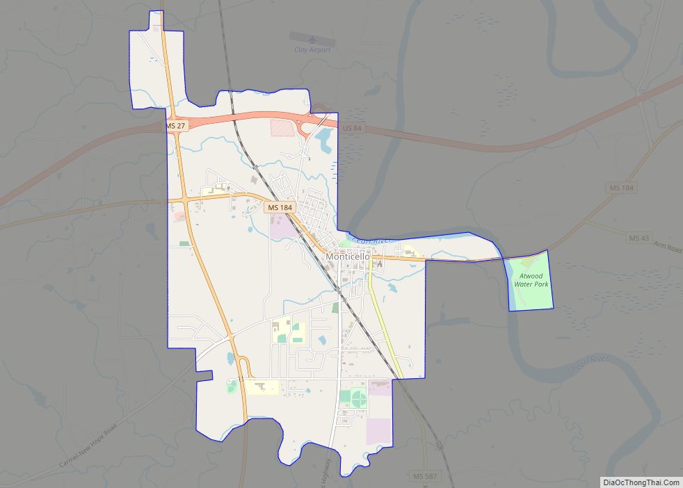
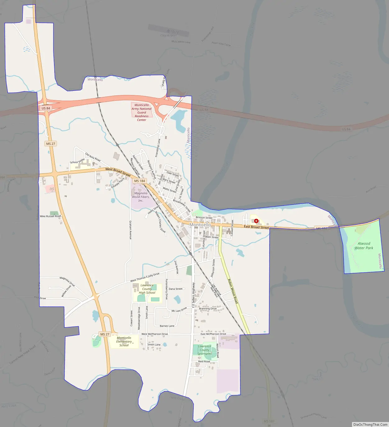
Monticello Road Map
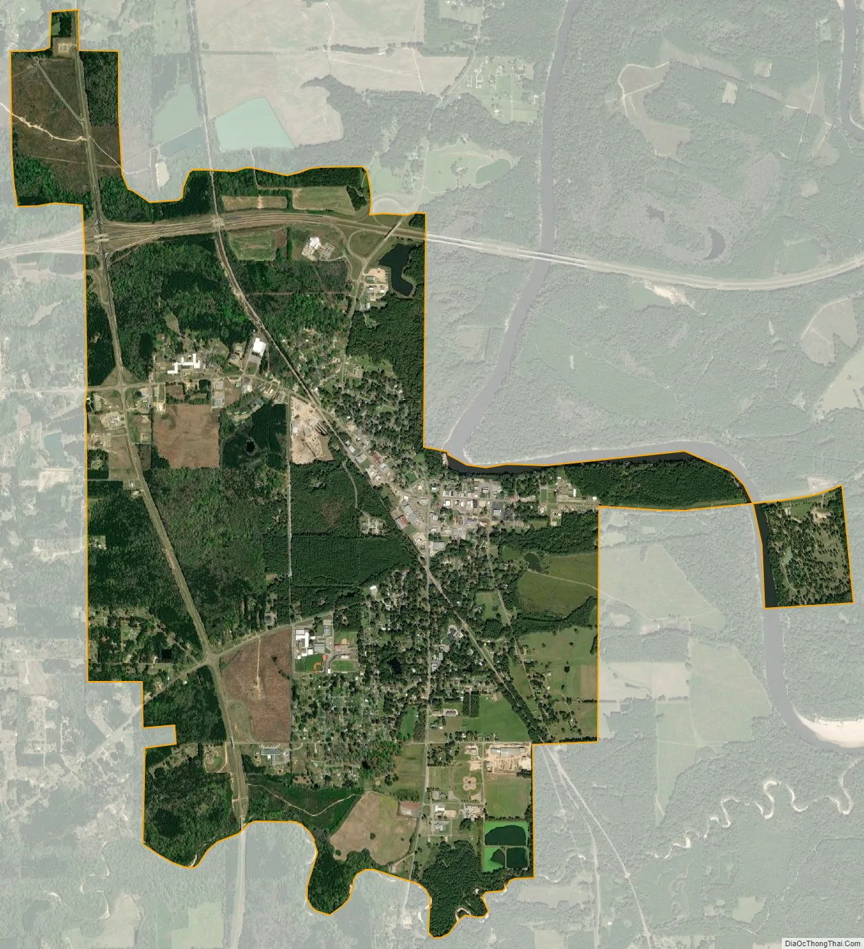
Monticello city Satellite Map
Geography
Monticello is in central Lawrence County, on the west side of the Pearl River. U.S. Route 84 runs through the north side of the town on a four-lane bypass. US 84 leads east 15 miles (24 km) to Prentiss and west 22 miles (35 km) to Interstate 55 in Brookhaven. Mississippi Highway 27 passes through the west side of Monticello, leading north 37 miles (60 km) to Crystal Springs and south 33 miles (53 km) to Tylertown.
According to the United States Census Bureau, the town of Monticello has a total area of 4.2 square miles (11.0 km), of which 4.2 square miles (10.8 km) are land and 0.1 square miles (0.2 km), or 2.17%, are water.
See also
Map of Mississippi State and its subdivision:- Adams
- Alcorn
- Amite
- Attala
- Benton
- Bolivar
- Calhoun
- Carroll
- Chickasaw
- Choctaw
- Claiborne
- Clarke
- Clay
- Coahoma
- Copiah
- Covington
- Desoto
- Forrest
- Franklin
- George
- Greene
- Grenada
- Hancock
- Harrison
- Hinds
- Holmes
- Humphreys
- Issaquena
- Itawamba
- Jackson
- Jasper
- Jefferson
- Jefferson Davis
- Jones
- Kemper
- Lafayette
- Lamar
- Lauderdale
- Lawrence
- Leake
- Lee
- Leflore
- Lincoln
- Lowndes
- Madison
- Marion
- Marshall
- Monroe
- Montgomery
- Neshoba
- Newton
- Noxubee
- Oktibbeha
- Panola
- Pearl River
- Perry
- Pike
- Pontotoc
- Prentiss
- Quitman
- Rankin
- Scott
- Sharkey
- Simpson
- Smith
- Stone
- Sunflower
- Tallahatchie
- Tate
- Tippah
- Tishomingo
- Tunica
- Union
- Walthall
- Warren
- Washington
- Wayne
- Webster
- Wilkinson
- Winston
- Yalobusha
- Yazoo
- Alabama
- Alaska
- Arizona
- Arkansas
- California
- Colorado
- Connecticut
- Delaware
- District of Columbia
- Florida
- Georgia
- Hawaii
- Idaho
- Illinois
- Indiana
- Iowa
- Kansas
- Kentucky
- Louisiana
- Maine
- Maryland
- Massachusetts
- Michigan
- Minnesota
- Mississippi
- Missouri
- Montana
- Nebraska
- Nevada
- New Hampshire
- New Jersey
- New Mexico
- New York
- North Carolina
- North Dakota
- Ohio
- Oklahoma
- Oregon
- Pennsylvania
- Rhode Island
- South Carolina
- South Dakota
- Tennessee
- Texas
- Utah
- Vermont
- Virginia
- Washington
- West Virginia
- Wisconsin
- Wyoming