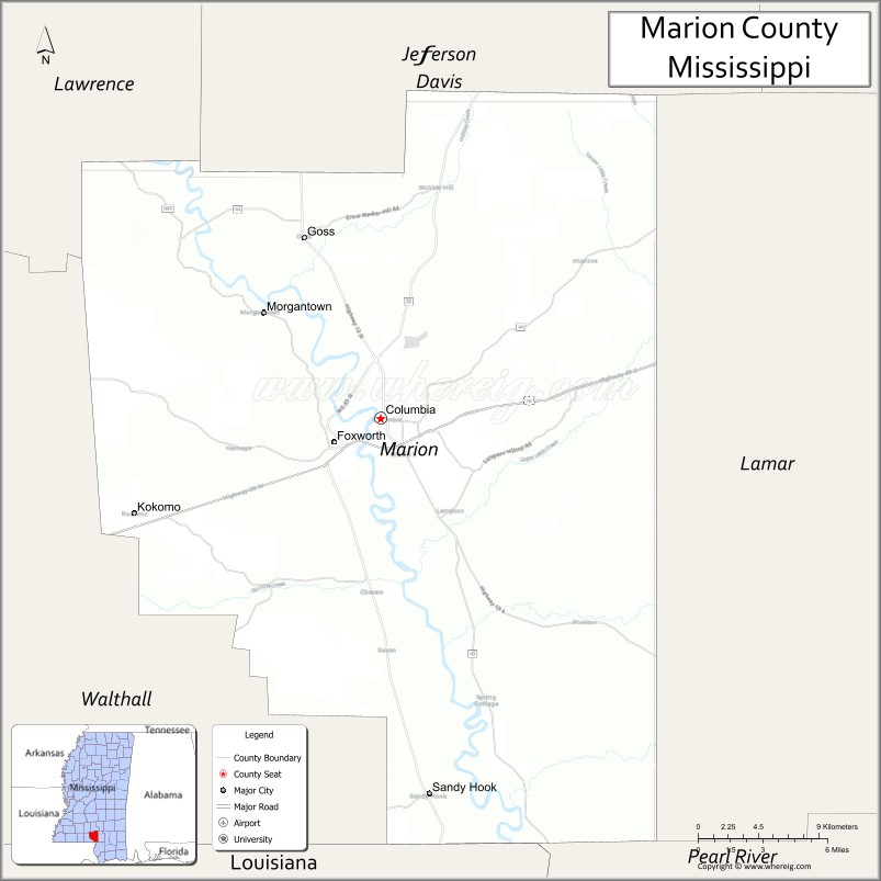
Marion County is a county located in the U.S. state of Mississippi. As of the 2020 census, the population was 24,441. Its county seat is Columbia. Marion County is named for American Revolutionary War guerrilla leader Francis Marion also known as The Swamp Fox.
| Name: | Marion County |
|---|---|
| FIPS code: | 28-091 |
| State: | Mississippi |
| Founded: | 1811 |
| Named for: | Francis Marion |
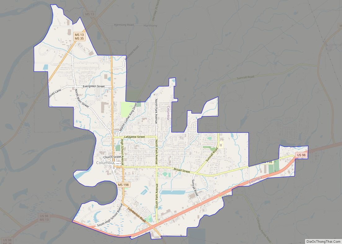
| Seat: | Columbia |
| Largest city: | Columbia |
| Total Area: | 549 sq mi (1,420 km²) |
| Land Area: | 542 sq mi (1,400 km²) |
| Total Population: | 24,441 |
| Population Density: | 45/sq mi (17/km²) |
| Time zone: | UTC−6 (Central) |
| Summer Time Zone (DST): | UTC−5 (CDT) |
| Website: | www.marioncountyms.com |
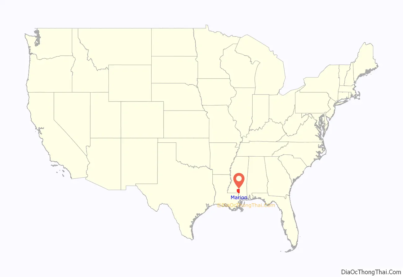
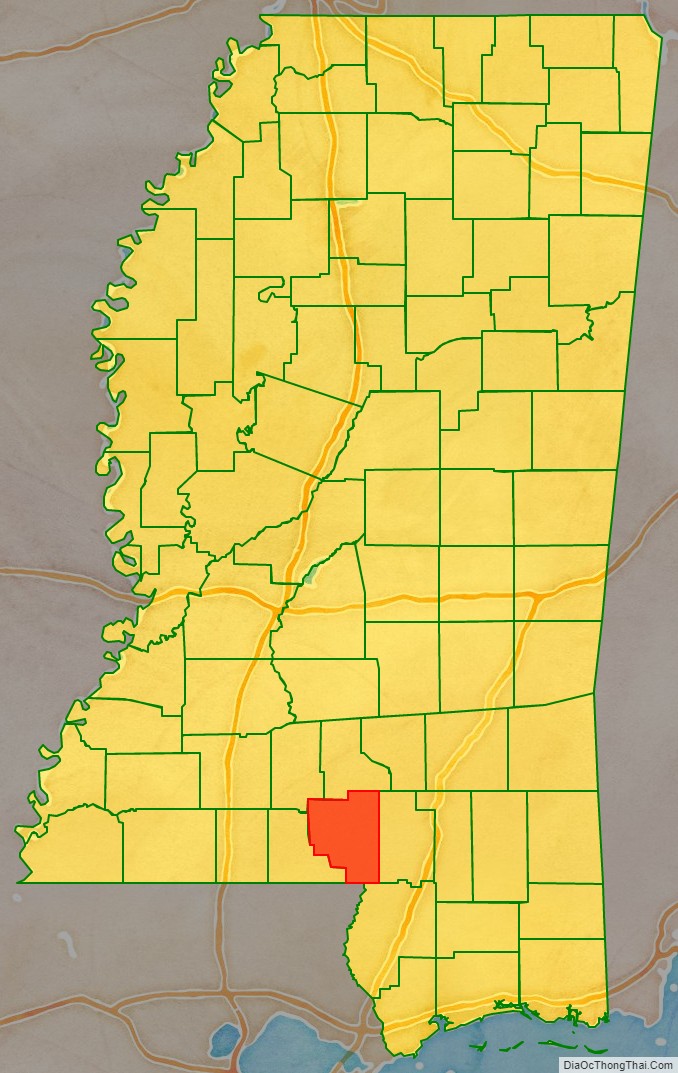
Marion County location map. Where is Marion County?
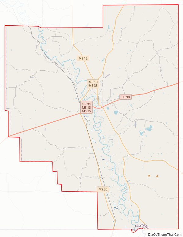
Marion County Road Map
Geography
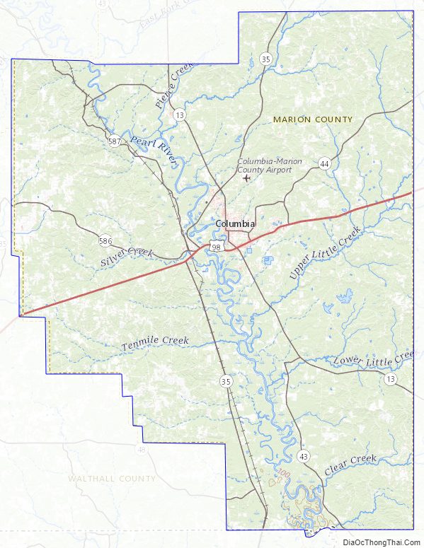
According to the U.S. Census Bureau, the county has a total area of 549 square miles (1,420 km), of which 542 square miles (1,400 km) is land and 6.2 square miles (16 km) (1.1%) is water.
Major highways
- U.S. Highway 98
- Mississippi Highway 13
- Mississippi Highway 35
- Mississippi Highway 43
- Mississippi Highway 44
Adjacent counties
- Jefferson Davis County (north)
- Lamar County (east)
- Pearl River County (southeast)
- Washington Parish, Louisiana (south)
- Walthall County (west)
- Lawrence County (northwest)
Marion County Topographic Map
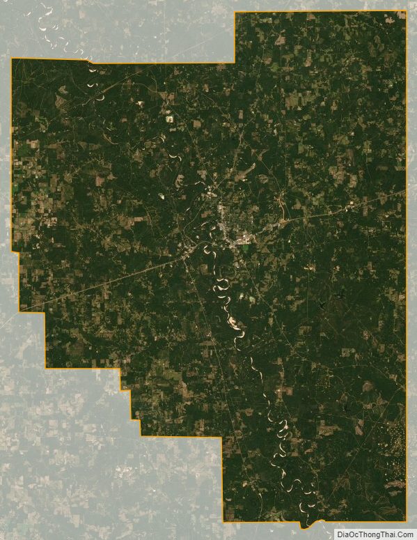
Marion County Satellite Map
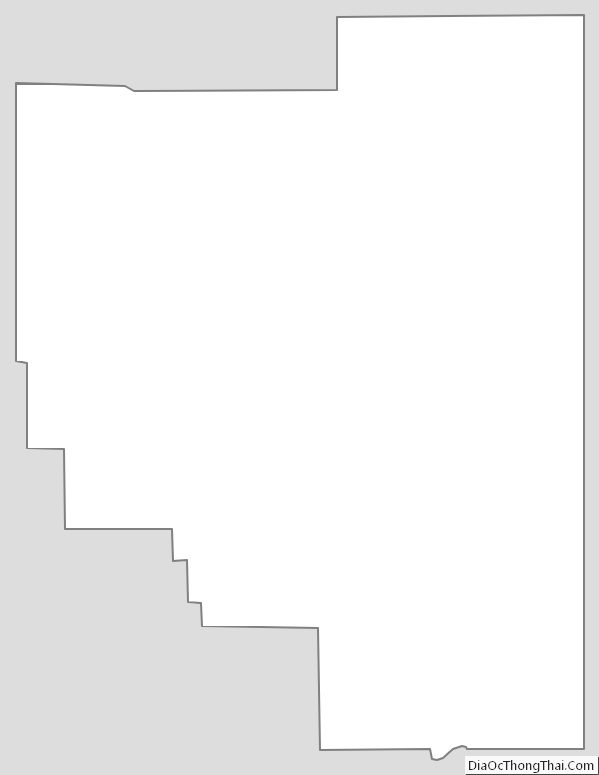
Marion County Outline Map