Wheeler County is a county in the U.S. state of Nebraska. As of the 2010 United States Census, the population was 818. Its county seat is Bartlett. The county was formed in 1877 and organized in 1881. The county was named for Major Daniel H. Wheeler, longtime secretary of the Nebraska State Board of Agriculture.
In the Nebraska license plate system, Wheeler County is represented by the prefix 84 (it had the 84th-largest number of vehicles registered in the state when the license plate system was established in 1922).
| Name: | Wheeler County |
|---|---|
| FIPS code: | 31-183 |
| State: | Nebraska |
| Founded: | 1877 |
| Named for: | Daniel H. Wheeler |
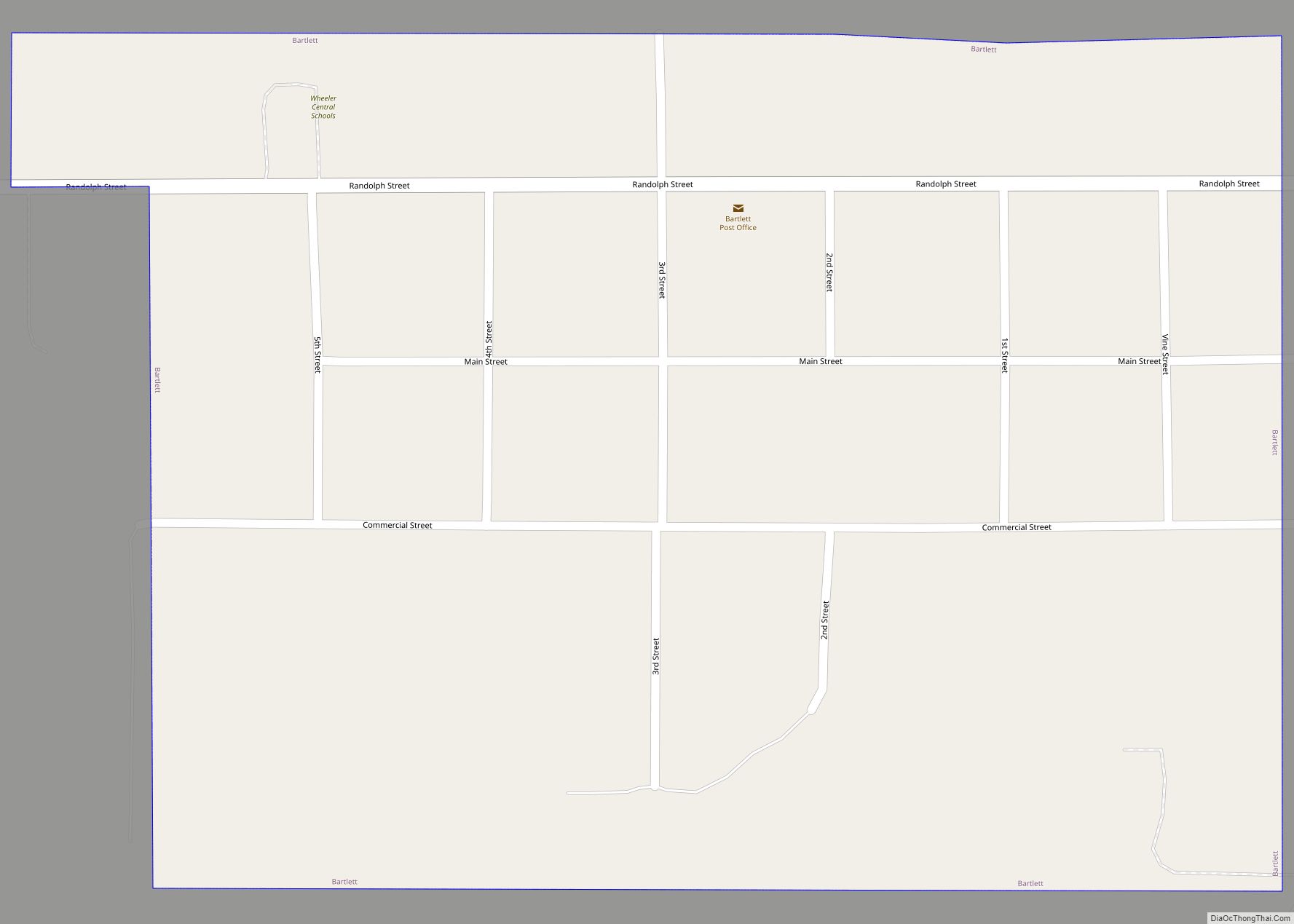
| Seat: | Bartlett |
| Total Area: | 576 sq mi (1,490 km²) |
| Land Area: | 575 sq mi (1,490 km²) |
| Total Population: | 795 |
| Population Density: | 1.42/sq mi (0.55/km²) |
| Time zone: | UTC−6 (Central) |
| Summer Time Zone (DST): | UTC−5 (CDT) |
| Website: | www.wheelercounty.ne.gov |
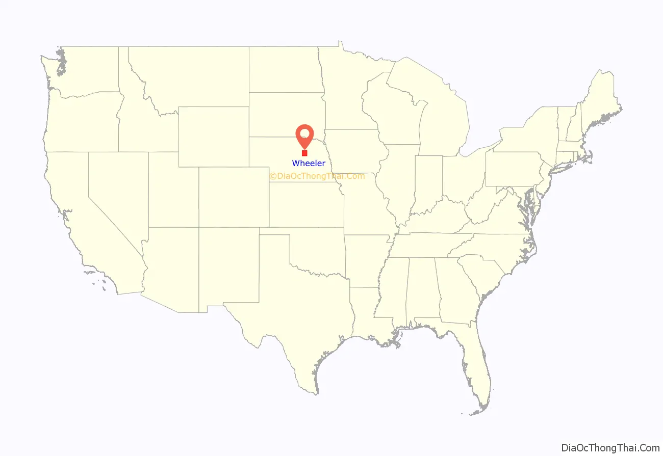
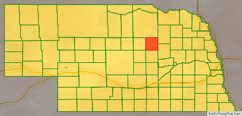
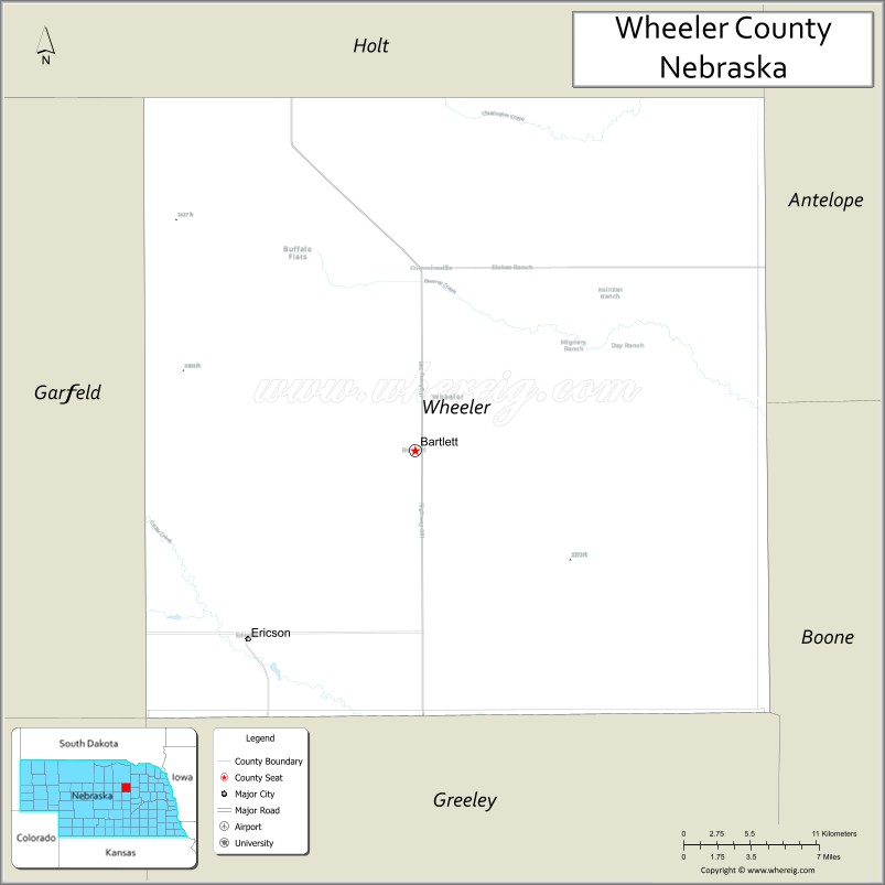
Wheeler County location map. Where is Wheeler County?
History
Wheeler County was authorized in 1877. It was organized in 1881, following the establishment and rapid growth of the town of Cumminsville, in anticipation of a Union Pacific Railroad line through that town. Cedar City (now disbanded) was the site of the first seat of government for the county, which covered an area of 48 miles west to east and 25 miles north to south. On 25 November 1884, this area was halved, with the western portion becoming Garfield County, leaving the remainder as Wheeler County with its present boundaries.
The county’s government was overseen by three commissioners, two from two districts in the more heavily populated southern half of the county, the third from the North. In 1885, the government was deemed to be outgrowing its small courthouse in Cedar City and two men, Cumminsville school superintendent Begelow and Ezra Bartlett Mitchell offered land options outside of Cedar City to build a new courthouse. In a heated election, Mitchell’s site was chosen over Begelow’s by a vote of 193 to 90, and the new courthouse led to the establishment of a surrounding town, named Bartlett (Mitchell’s middle name), to serve as the seat of government. Cedar City collapsed shortly after the government offices there were abandoned.
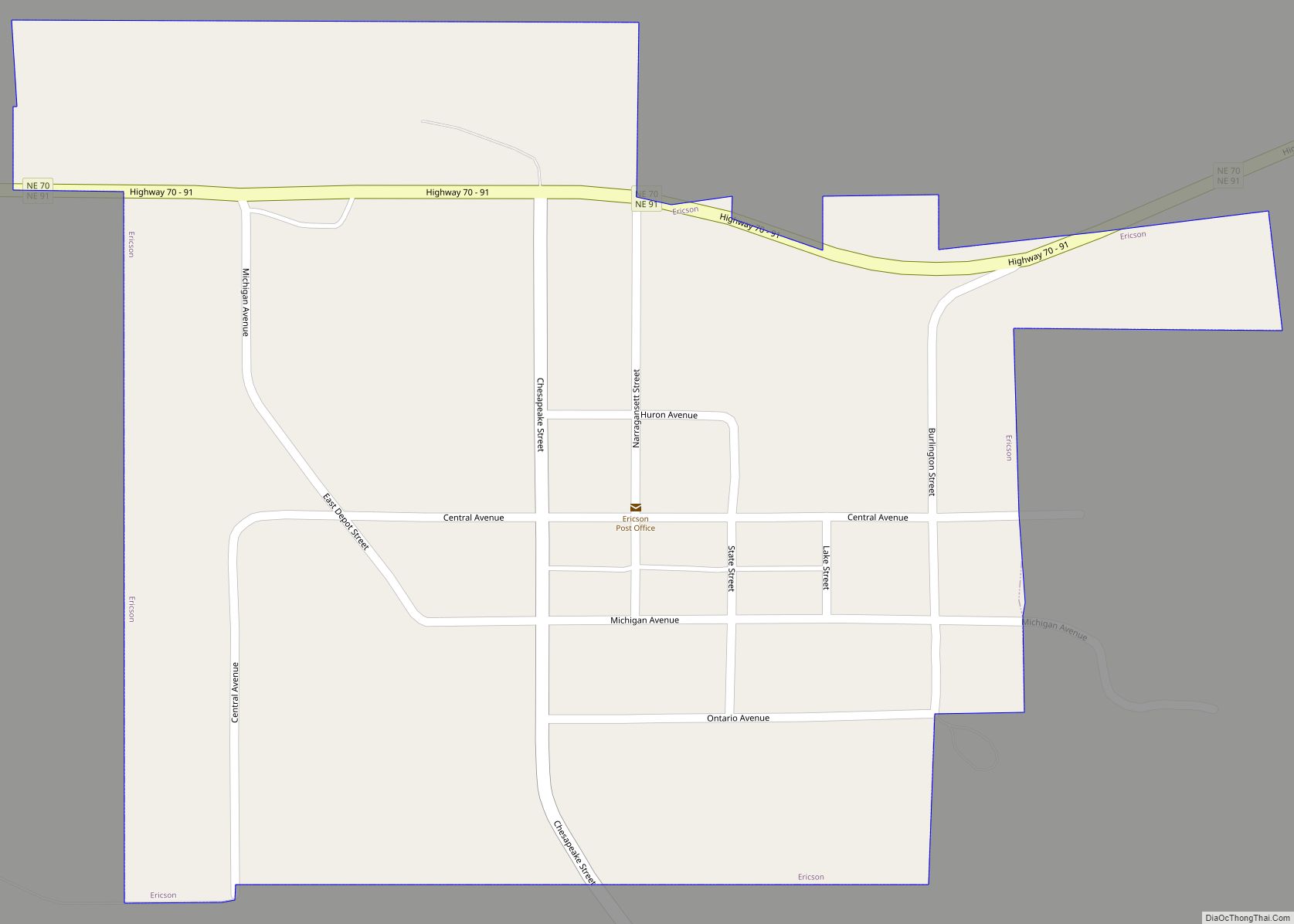
In 1886, a spur line of the C.B.& Q. railroad was built into the county, ending at a point where the town of Ericson was established.
In 1895, while attempting to construct a ditchway to irrigate farm land between Ericson and Spalding, a dam was built across Clear Creek. Though the ditch construction was ultimately not successful, the dam created present-day Pibel Lake.
Wheeler County’s population began to wane after the turn of the 20th century, but in 1904, with the enactment of the Kinkaid Act, a new round of settlers reinvigorated the population.
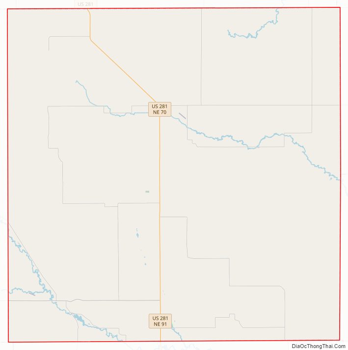
Wheeler County Road Map
Geography
The terrain of Wheeler County consists of low rolling hills, sloping to the east. A local drainage, Beaver Creek, flows to the SE and east through the upper part of the county, exiting near the midpoint of the county’s east boundary line. The county has an area of 576 square miles (1,490 km), of which 575 square miles (1,490 km) is land and 0.4 square miles (1.0 km) (0.07%) is water.
Major highways
- U.S. Highway 281
- Nebraska Highway 70
- Nebraska Highway 91
Adjacent counties
- Antelope County – northeast
- Boone County – southeast
- Greeley County – south
- Valley County – southwest
- Garfield County – west
- Holt County – north
Protected areas
- Pibel Lake State Recreation Area
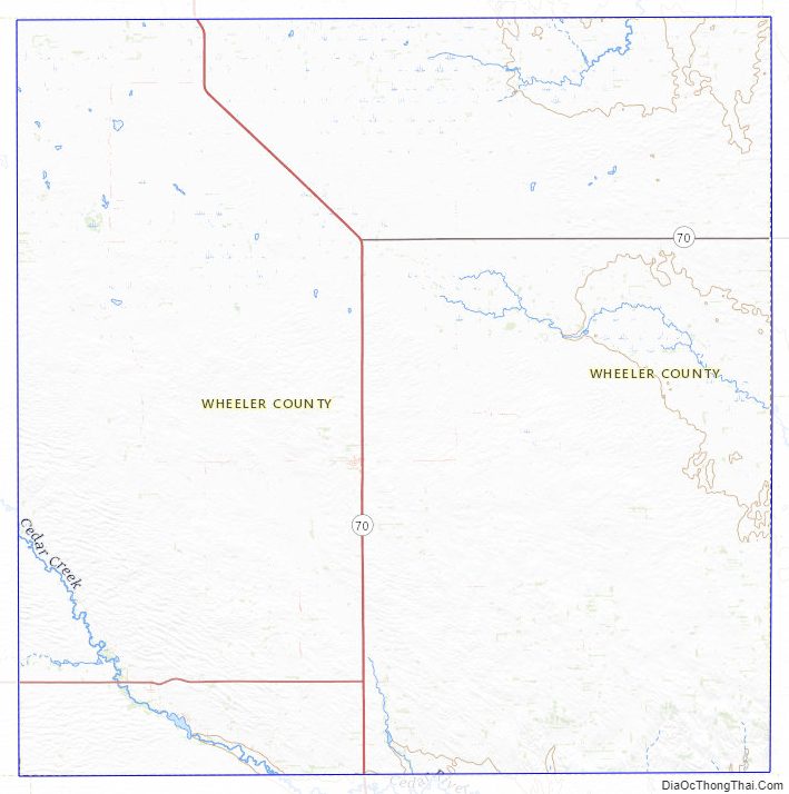
Wheeler County Topographic Map
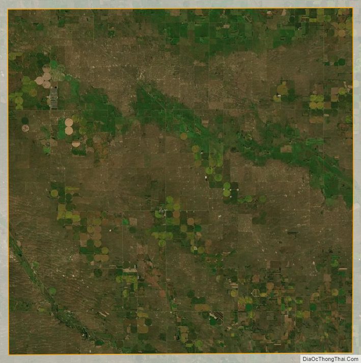
Wheeler County Satellite Map
Wheeler County Outline Map