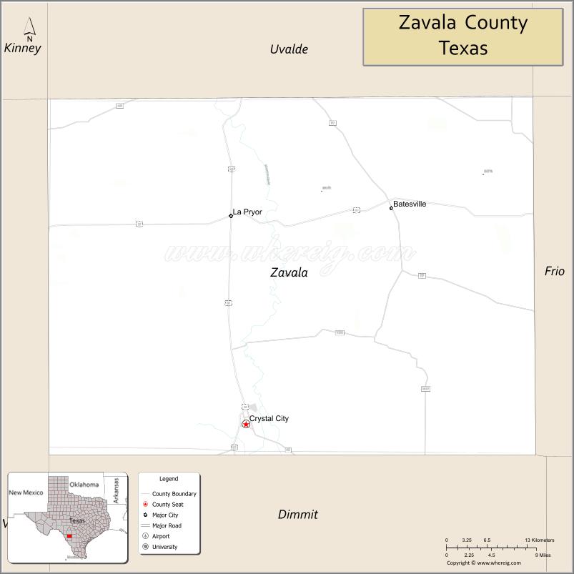
| Name: | Zavala County |
|---|---|
| FIPS code: | 48-507 |
| State: | Texas |
| Founded: | 1884 |
| Named for: | Lorenzo de Zavala |
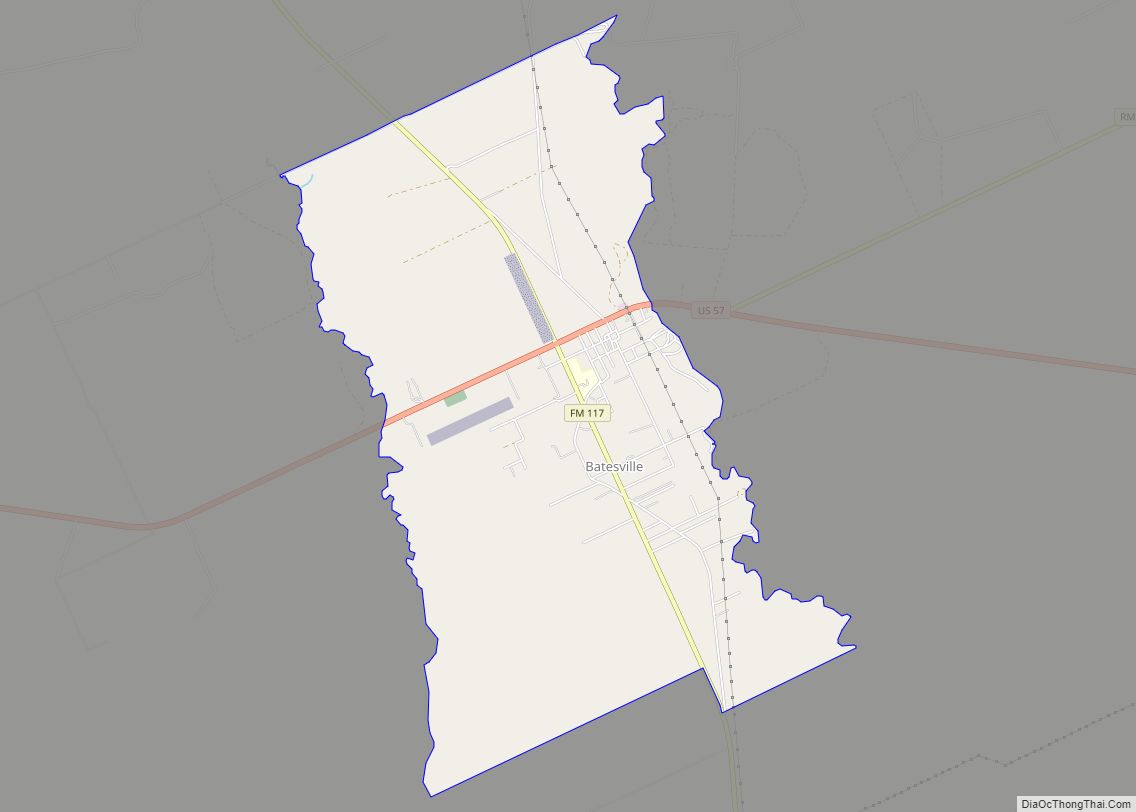
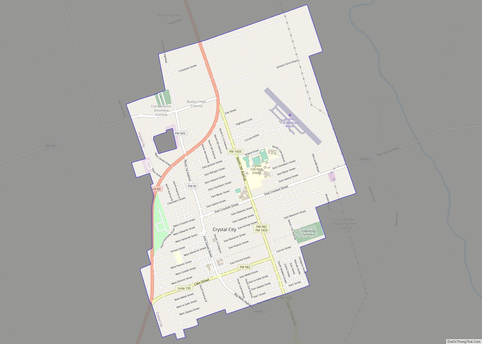
| Seat: | Crystal City |
| Largest city: | Crystal City |
| Total Area: | 1,302 sq mi (3,370 km²) |
| Land Area: | 1,297 sq mi (3,360 km²) |
| Total Population: | 11,677 |
| Population Density: | 9.0/sq mi (3.5/km²) |
| Time zone: | UTC−6 (Central) |
| Summer Time Zone (DST): | UTC−5 (CDT) |
| Website: | www.co.zavala.tx.us |
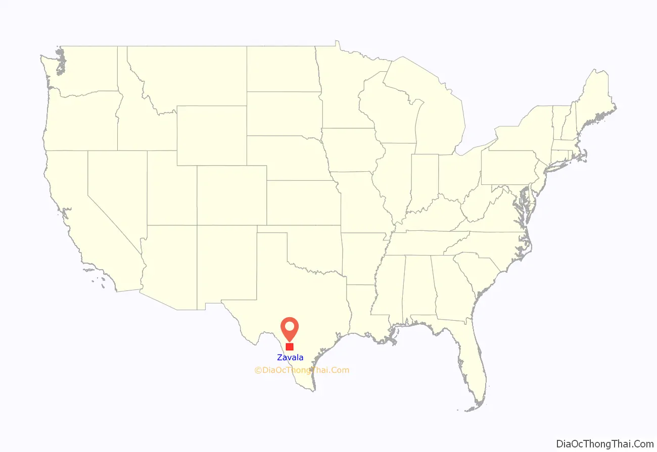
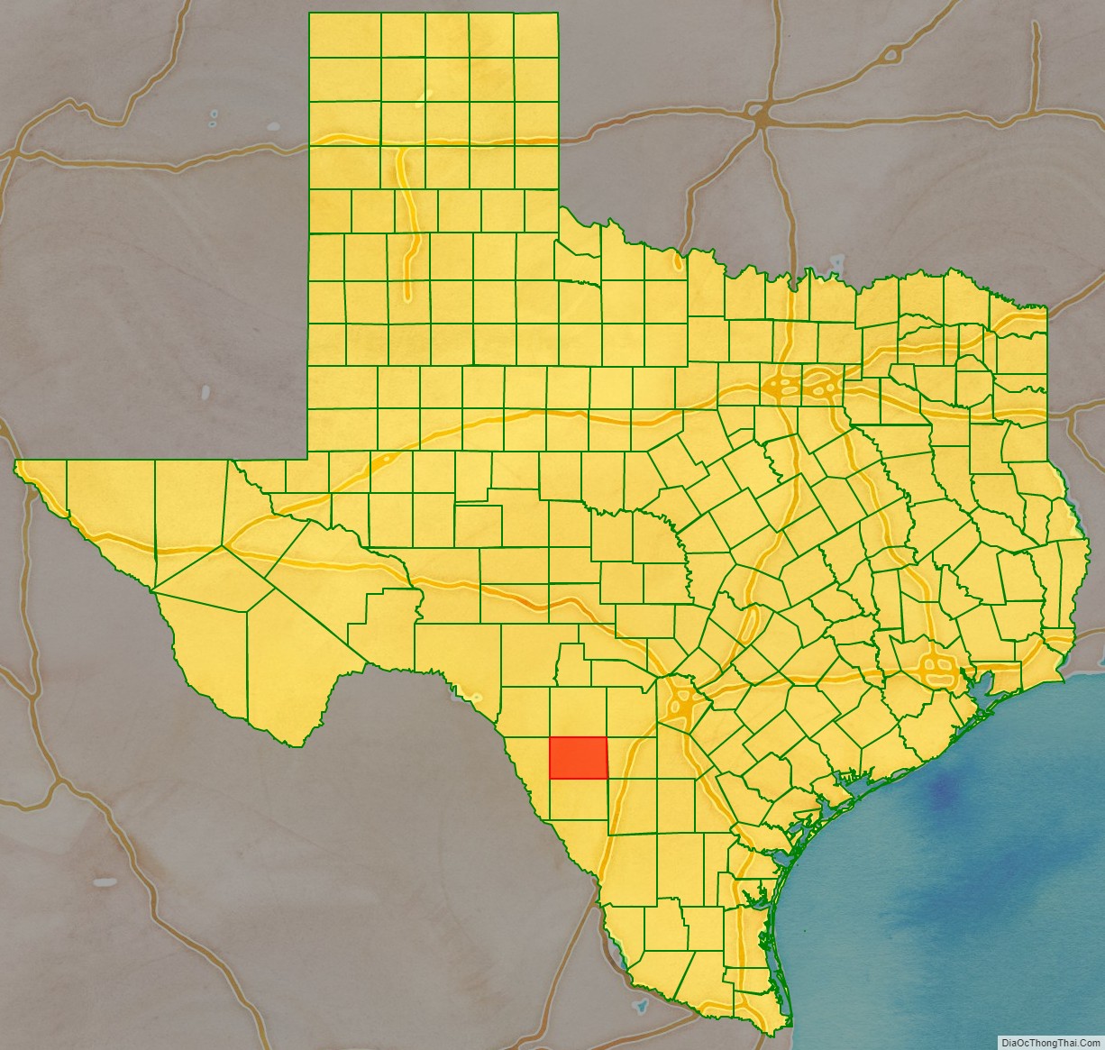
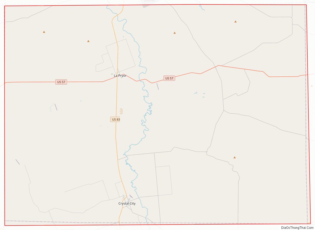
Zavala County location map. Where is Zavala County?
History
Native Americans
Radiocarbon assays indicate the county’s Tortuga Flat Site was used in the 15th and 16th centuries by Pacuache. Archeologist T. C. Hill of Crystal City conducted excavations in 1972–1973 at the site, uncovering artifacts. More than 100 archeological sites have been identified by researchers of the University of Texas at San Antonio at the Chaparrosa Ranch. Coahuiltecan, Tonkawa, Lipan Apache and Mescalero Apache and Comanche have inhabited the area after the Pacuache.
The Wild Horse Desert
The area between the Rio Grande and the Nueces River, which included Zavala County, became disputed territory known as the Wild Horse Desert, where neither the Republic of Texas nor the Mexican government had clear control. Ownership was in dispute until the Mexican–American War. The area became filled with lawless characters who deterred settlers in the area. An agreement signed between Mexico and the United States in the 1930s put the liability of payments to the descendants of the original land grants on Mexico. According to a list of Spanish and Mexican grants in Texas, Pedro Aguirre owned 51,296 acres in Zavala County, while Antonio Aguirre had 34,552. Seven other people (including two women — Juana Fuentes and Maria Escolastica Diaz) — each had 4,650 acres.
County established and growth
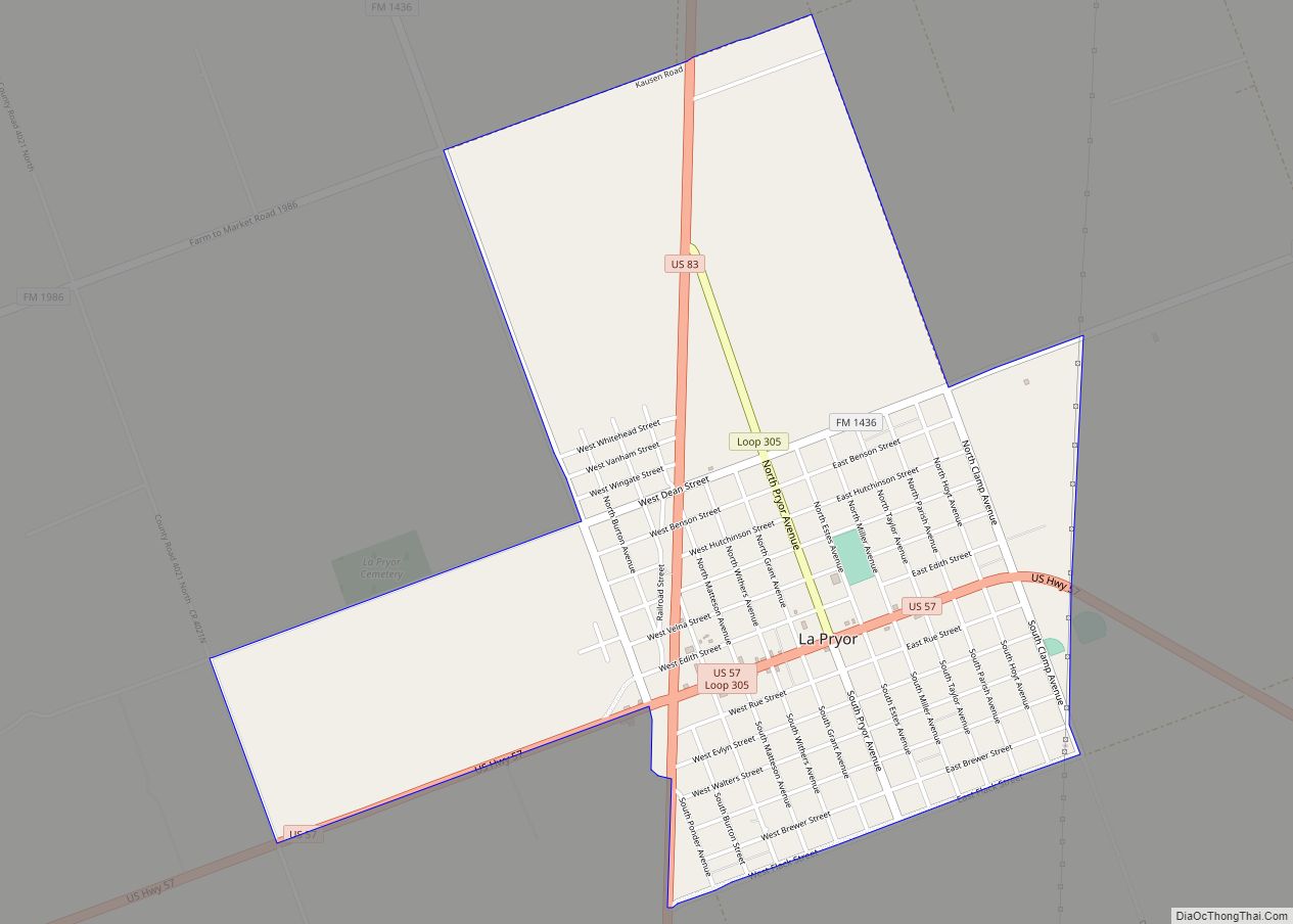
Zavala County was established in 1858 and named for Lorenzo de Zavala, a Mexican colonist and one of the signers of the Texas Declaration of Independence. The county was organized in 1858, with an error putting an additional “L” in the county. The mistake was not corrected until 1929. Batesville became the county seat. Crystal City won a 1928 election to become the new county seat. Grey (Doc) White and the Vivian family settled Cometa around 1867. They were joined by the Ramón Sánchez and Galván families in 1870 and by J. Fisher in 1871. Murlo community was settled about the same time. Ranching dominated the county originally, until overgrazing destroyed the grasslands. Zavala then became the first county in Texas to grow flax commercially. Ike T. La Pryor the largest ranch in the county and advertised the land for farming. The community that sprang up was named La Pryor. Developers E. J. Buckingham and Carl Groos purchased all 96,101 acres (388.91 km) of the Cross S Ranch in 1905, platted the town of Crystal City, and sold the rest as sections divided into 10-acre (40,000 m) farms.
Winter Garden
Zavala, Dimmitt, Frio, and LaSalle Counties are considered the Winter Garden region of Texas. Irrigation and mild winter climate have made the area ideal for year-round vegetable farming. During the winter of 1917–18, spinach was introduced to Zavala. The first annual Spinach Festival was introduced in 1936, halted during World War II, but resumed in 1982. Cartoonist E. C. Segar, who created the spinach-eating Popeye, received a letter of appreciation from the Winter Garden Chamber of Commerce, thanking him for his support of spinach in the American diet. Segar’s written response appeared in two newspapers exhorting children everywhere to enjoy Segar’s favorite vegetable. He later approved a 1937 statue of Popeye to be erected in Crystal City, dedicated “To All The Children of the World”. Bermuda onions became a major crop. Spinach, sorghum, and cotton were the three biggest crops. The principal crops grown in Zavala County in 1989 were spinach, cotton, pecans, corn, and onions.
Internment Camp
The Crystal City, Texas Family Internment Camp began as a migrant labor camp in the 1930s. By the time it closed, it had held German and Japanese combatants and their families, Latin Americans, and at least one Italian Latin American family, as well as German- and Japanese-American families. The 100 acres (0.40 km) were used for housing and security measures. An additional 190 acres (0.77 km) were for farming and personnel residences. The first internees, of German ethnicity, arrived on December 12, 1942, and were expected to work on construction, being paid 10 cents an hour. A 70-bed hospital was built in 1943, as was a school for children of the internees. Internees ran nursery schools and kindergartens. From its inception through June 30, 1945, the Crystal City camp held 4,751 internees and had 153 births. The camp closed in 1948.
Hispanic Americans
The Mexican Revolution that began in 1910 resulted in thousands of laborers flowing across the border to cultivate vegetable crops. By 1917 and 1918, Pancho Villa was sending banditos across the Rio Grande. Crystal City organized home guards for protection against Villa’s associates. By 1930, Crystal City was overwhelmingly composed of Hispanic Americans. That year, Zavala County had the highest percentage of laborers (1,430 per 100 farms) and the lowest percentage of tenants (33 per 100 farms) of all counties in South Texas. Owner-operators were primarily Anglo, whereas sharecroppers and farm laborers were Hispanic. By the late 1950s, a majority of those graduating from high school in the county were Hispanic American. In 1990, 89.4% of the county population of 12,162 was Hispanic.
Tejano politics
Juan Cornejo of the Teamsters Union and the Political Association of Spanish-Speaking Organizations organized the Hispanic population among cannery workers and farm laborers of Crystal City in 1962–63 and succeeded in electing an all-Latino city council. The feat became known as the Crystal City Revolts. The Raza Unida Party was established in 1970 in Crystal City and Zavala County to bring greater self-determination among Tejanos.
Zavala County Road Map
Geography
According to the U.S. Census Bureau, the county has a total area of 1,302 square miles (3,370 km), of which 1,297 square miles (3,360 km) are land and 4.3 square miles (11 km) (0.3%) are covered by water.
Major highways
- U.S. Highway 57
- U.S. Highway 83
Adjacent counties
- Uvalde County (north)
- Frio County (east)
- Dimmit County (south)
- Maverick County (west)
- La Salle County (southeast)
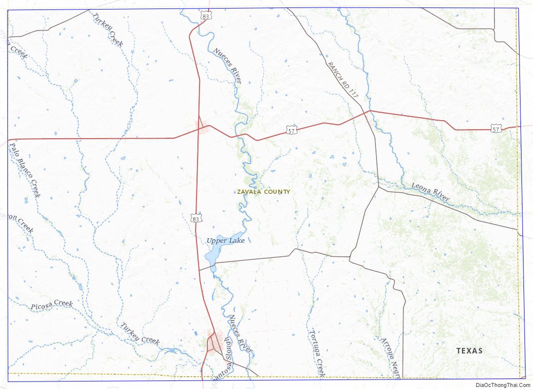
Zavala County Topographic Map
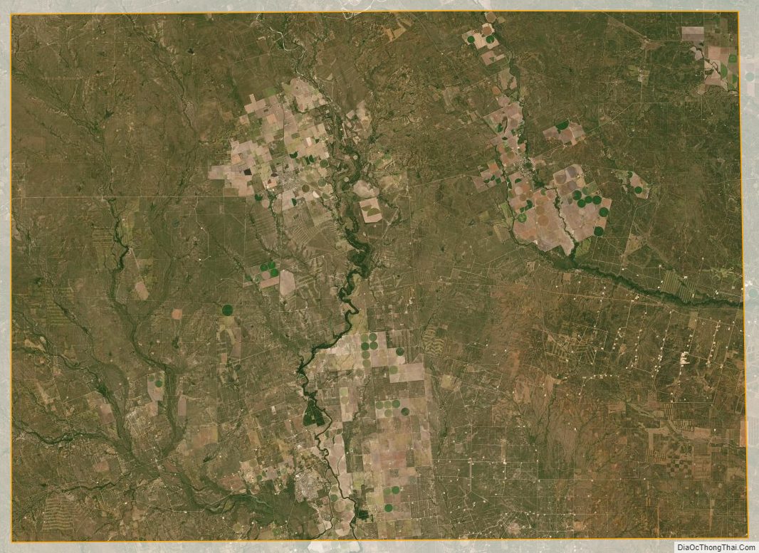
Zavala County Satellite Map
Zavala County Outline Map