| Name: | Adams County |
|---|---|
| FIPS code: | 28-001 |
| State: | Mississippi |
| Founded: | 1799 |
| Named for: | John Adams |
| Seat: | Natchez |
| Largest city: | Natchez |
| Total Area: | 488 sq mi (1,260 km²) |
| Land Area: | 462 sq mi (1,200 km²) |
| Total Population: | 29,538 |
| Population Density: | 61/sq mi (23/km²) |
| Time zone: | UTC−6 (Central) |
| Summer Time Zone (DST): | UTC−5 (CDT) |
| Website: | www.adamscountyms.net |
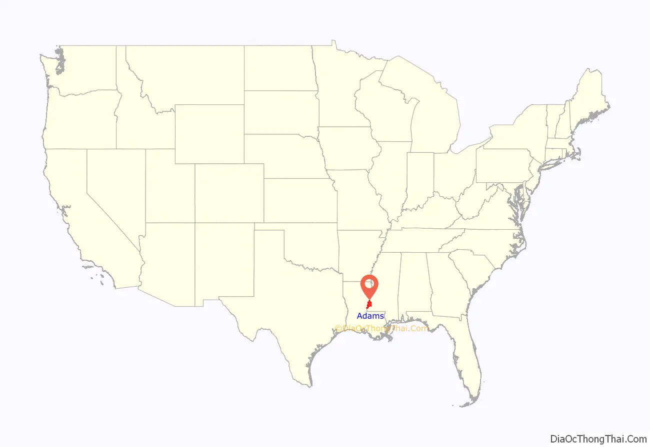
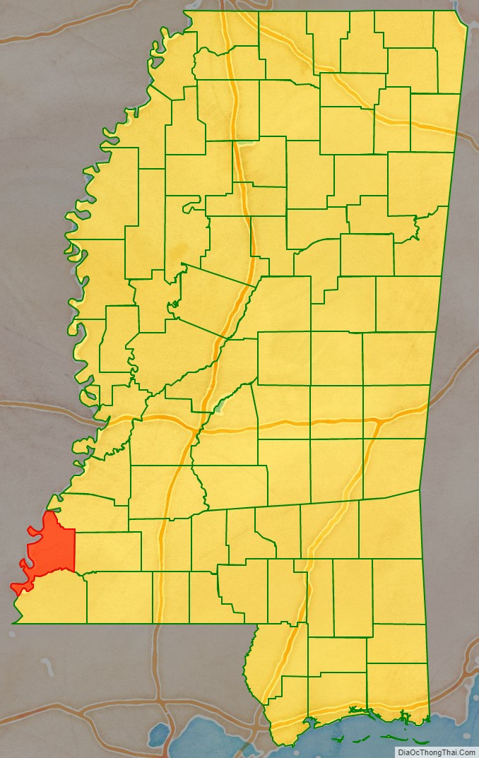
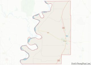
Adams County location map. Where is Adams County?
History
Adams County was created on April 2, 1799, from part of Pickering Territorial County. The county was organized eighteen years before Mississippi became a state. Four Mississippi governors have come from Adams County: David Holmes, George Poindexter, John A. Quitman, and Gerard Brandon.
In 1860, before the US Civil War, Adams County was the richest county in the United States.
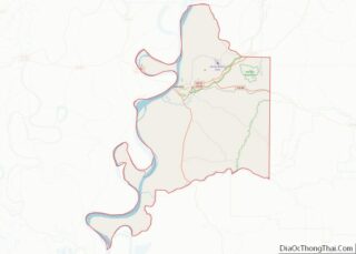
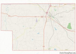
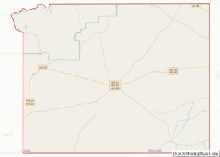
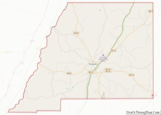
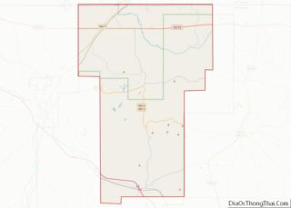
Adams County Road Map
Geography
According to the U.S. Census Bureau, the county has a total area of 488 square miles (1,260 km), of which 462 square miles (1,200 km) is land and 25 square miles (65 km) (5.2%) is water.
Major highways
- U.S. Highway 61
- U.S. Highway 84
- U.S. Highway 98
- U.S. Highway 425
- Natchez Trace Parkway
Adjacent counties
- Jefferson County (north)
- Franklin County (east)
- Wilkinson County (south)
- Concordia Parish, Louisiana (southwest)
- Tensas Parish, Louisiana (northwest)
National protected areas
- Homochitto National Forest (part)
- Natchez National Historical Park
- Natchez Trace Parkway (part)
- St. Catherine Creek National Wildlife Refuge
