Neligh /ˈniːliː/ NEE-lee is a city and county seat in Antelope County, Nebraska, United States. The population was 1,599 at the 2010 census.
| Name: | Neligh city |
|---|---|
| LSAD Code: | 25 |
| LSAD Description: | city (suffix) |
| State: | Nebraska |
| County: | Antelope County |
| Elevation: | 1,755 ft (535 m) |
| Total Area: | 1.47 sq mi (3.82 km²) |
| Land Area: | 1.46 sq mi (3.79 km²) |
| Water Area: | 0.01 sq mi (0.03 km²) |
| Total Population: | 1,536 |
| Population Density: | 1,050.62/sq mi (405.72/km²) |
| ZIP code: | 68756 |
| Area code: | 402 |
| FIPS code: | 3133775 |
| GNISfeature ID: | 0831582 |
| Website: | neligh.org |
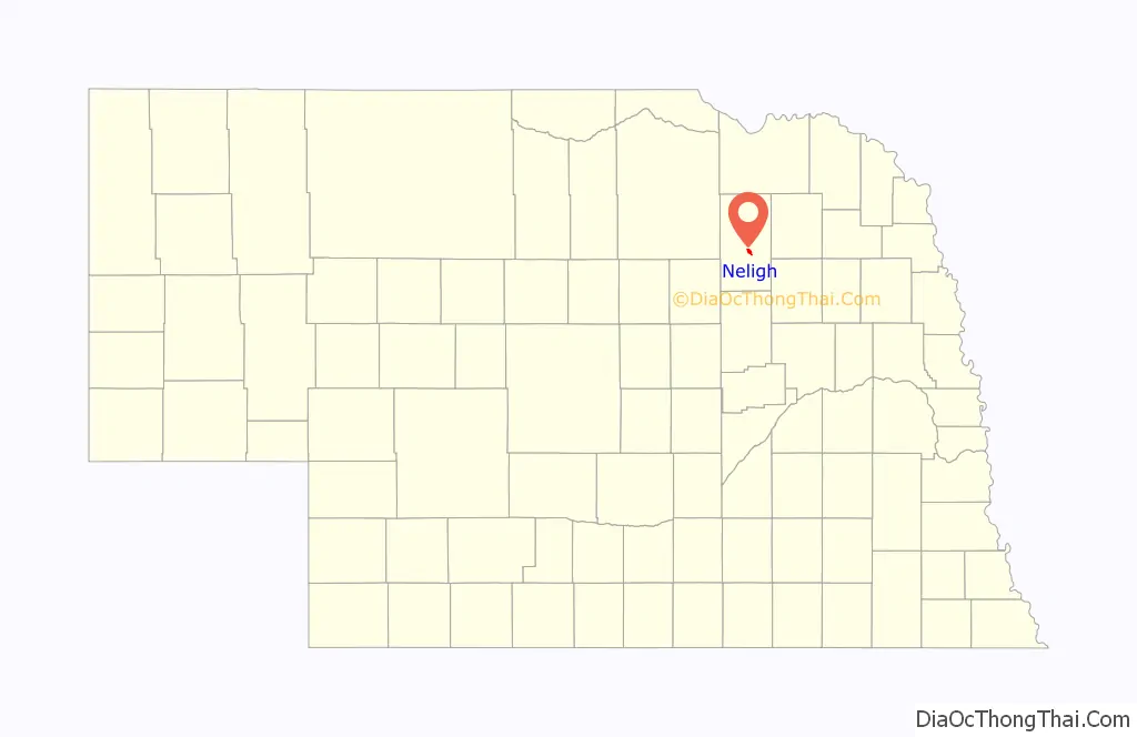
Online Interactive Map
Click on ![]() to view map in "full screen" mode.
to view map in "full screen" mode.
Neligh location map. Where is Neligh city?

History
In 1872, John D. Neligh and a few of his friends took a trip up the Elkhorn River from West Point, Nebraska. Neligh took note of the scenic landscape and thought it would be the ideal setting for a town and the county seat. He immediately left for Omaha to buy 520 acres for the town site. Misunderstanding the prime land he was selling, Omaha banker Herman Kountze sold the land required to develop Neligh. He was apparently not aware it would make the ideal county seat, which Neligh eventually became. The records were moved to Neligh on January 1, 1884. Neligh was platted in 1873 by John Neligh and others, and named for him.
White Buffalo Girl
In May 1877, the Ponca tribe was forced to leave their homeland on the Niobrara River and move to Indian Territory in present-day Oklahoma. The rigors of the journey and resettlement led to the death of one-third of the tribe’s population. During the migration, an 18-month-old girl named White Buffalo Girl died near Neligh. Her father, Black Elk, asked the townspeople “to respect the grave of my child just as they do the graves of their own dead”. She was buried in Laurel Hill Cemetery in Neligh, and her grave tended by the residents; in 1960, owing to the deterioration of the monument, the marker was set on a new foundation.
Neligh Mill
Shortly after founding the town, John D. Neligh began building the Neligh Mill in the southern part of town. The original two-story mill was built with bricks made by John J. Crawford, using local clay. Currently, the Neligh Mill is a Nebraska State Historical site.
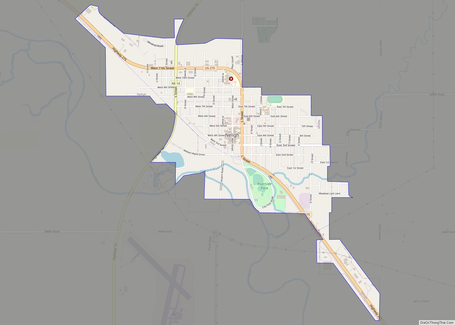
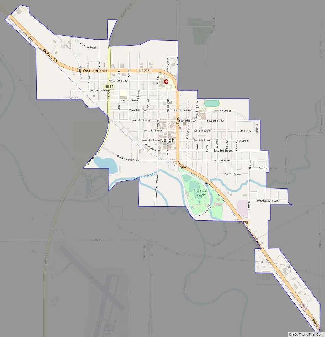
Neligh Road Map
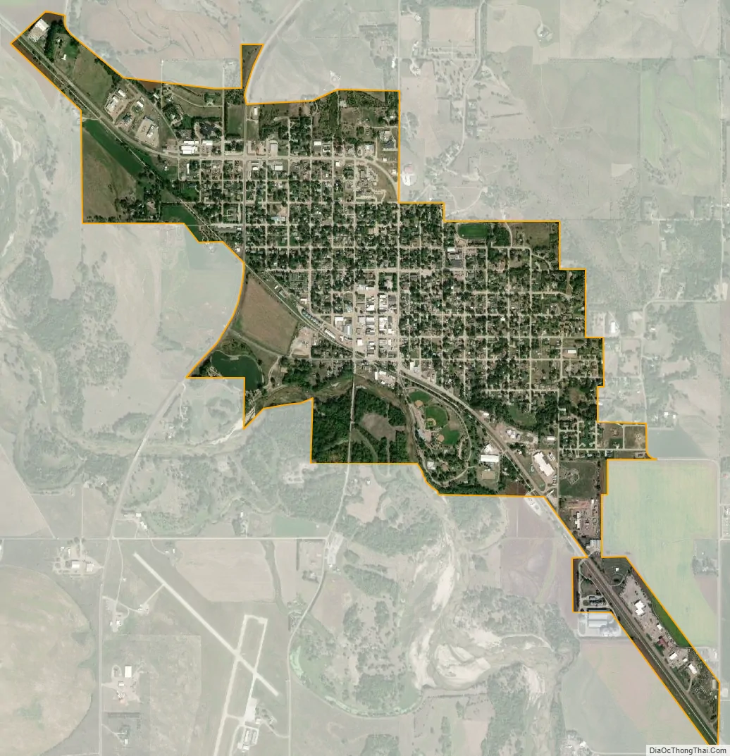
Neligh city Satellite Map
Geography
Neligh is located at 42°7′48″N 98°1′45″W / 42.13000°N 98.02917°W / 42.13000; -98.02917 (42.130011, -98.029103). According to the United States Census Bureau, the city has a total area of 1.11 square miles (2.87 km), of which 1.10 square miles (2.85 km) is land and 0.01 square miles (0.03 km) is water.
Climate
This climatic region is typified by large seasonal temperature differences, with warm to hot (and often humid) summers and cold (sometimes severely cold) winters. According to the Köppen Climate Classification system, Neligh has a humid continental climate, abbreviated “Dfa” on climate maps.
See also
Map of Nebraska State and its subdivision:- Adams
- Antelope
- Arthur
- Banner
- Blaine
- Boone
- Box Butte
- Boyd
- Brown
- Buffalo
- Burt
- Butler
- Cass
- Cedar
- Chase
- Cherry
- Cheyenne
- Clay
- Colfax
- Cuming
- Custer
- Dakota
- Dawes
- Dawson
- Deuel
- Dixon
- Dodge
- Douglas
- Dundy
- Fillmore
- Franklin
- Frontier
- Furnas
- Gage
- Garden
- Garfield
- Gosper
- Grant
- Greeley
- Hall
- Hamilton
- Harlan
- Hayes
- Hitchcock
- Holt
- Hooker
- Howard
- Jefferson
- Johnson
- Kearney
- Keith
- Keya Paha
- Kimball
- Knox
- Lancaster
- Lincoln
- Logan
- Loup
- Madison
- McPherson
- Merrick
- Morrill
- Nance
- Nemaha
- Nuckolls
- Otoe
- Pawnee
- Perkins
- Phelps
- Pierce
- Platte
- Polk
- Red Willow
- Richardson
- Rock
- Saline
- Sarpy
- Saunders
- Scotts Bluff
- Seward
- Sheridan
- Sherman
- Sioux
- Stanton
- Thayer
- Thomas
- Thurston
- Valley
- Washington
- Wayne
- Webster
- Wheeler
- York
- Alabama
- Alaska
- Arizona
- Arkansas
- California
- Colorado
- Connecticut
- Delaware
- District of Columbia
- Florida
- Georgia
- Hawaii
- Idaho
- Illinois
- Indiana
- Iowa
- Kansas
- Kentucky
- Louisiana
- Maine
- Maryland
- Massachusetts
- Michigan
- Minnesota
- Mississippi
- Missouri
- Montana
- Nebraska
- Nevada
- New Hampshire
- New Jersey
- New Mexico
- New York
- North Carolina
- North Dakota
- Ohio
- Oklahoma
- Oregon
- Pennsylvania
- Rhode Island
- South Carolina
- South Dakota
- Tennessee
- Texas
- Utah
- Vermont
- Virginia
- Washington
- West Virginia
- Wisconsin
- Wyoming