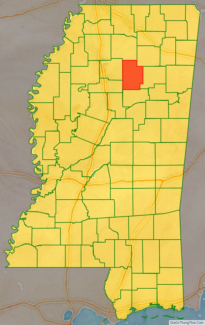
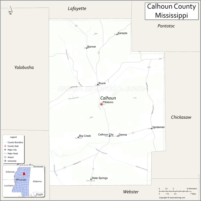
Calhoun County is a county located in the U.S. state of Mississippi. As of the 2020 census, the population was 13,266. Its county seat is Pittsboro. The county is named after John C. Calhoun, the U.S. Vice President and U.S. Senator from South Carolina.
| Name: | Calhoun County |
|---|---|
| FIPS code: | 28-013 |
| State: | Mississippi |
| Founded: | 1852 |
| Named for: | John C. Calhoun |
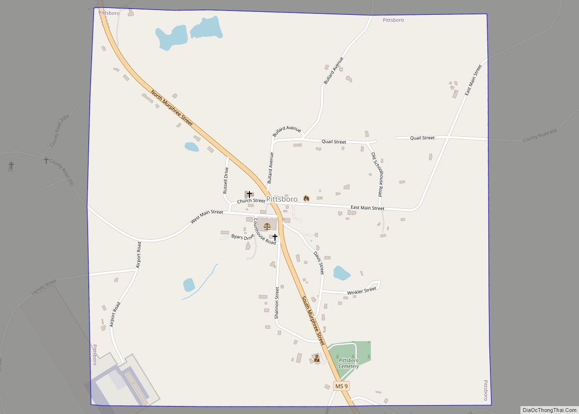
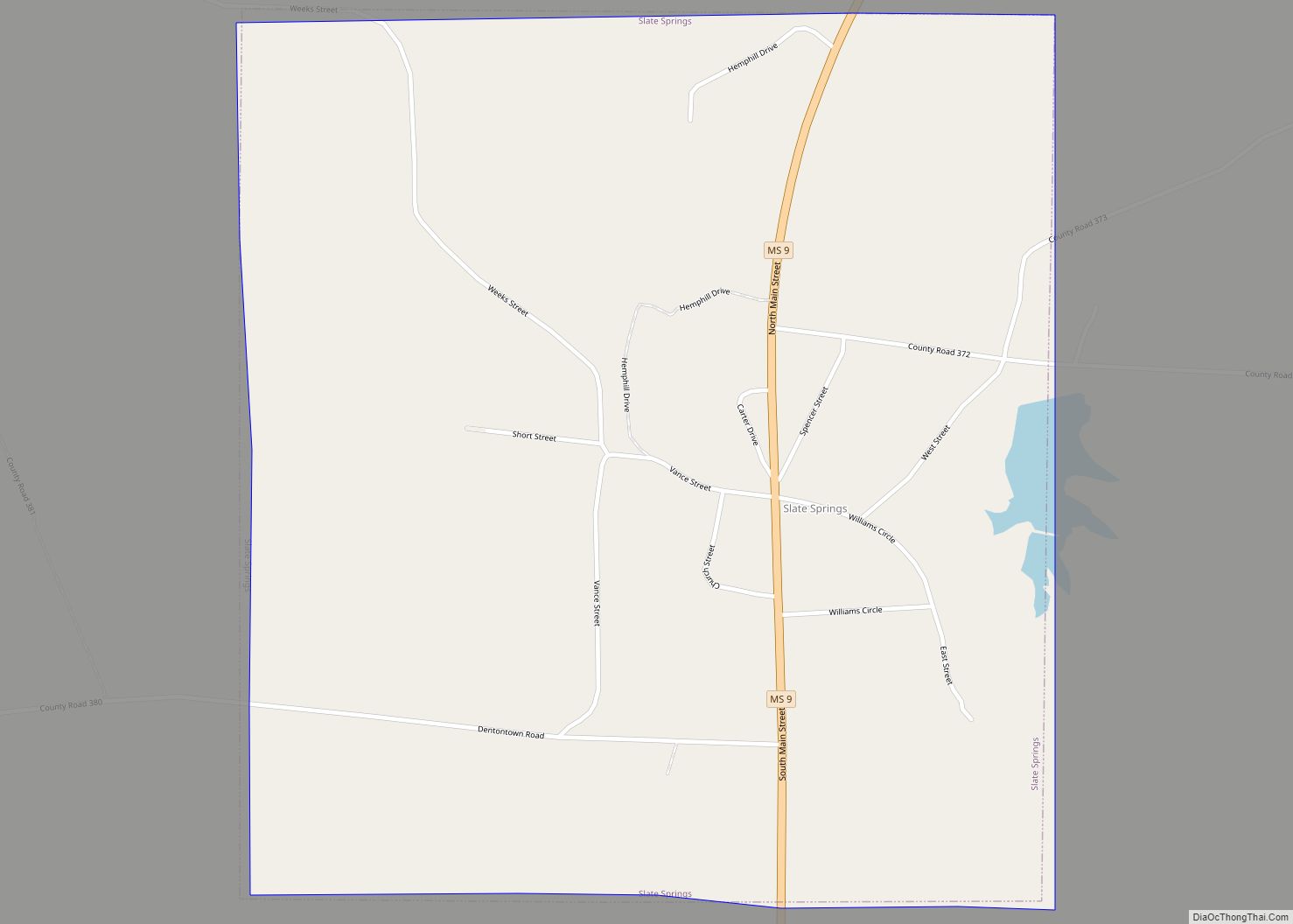
| Seat: | Pittsboro |
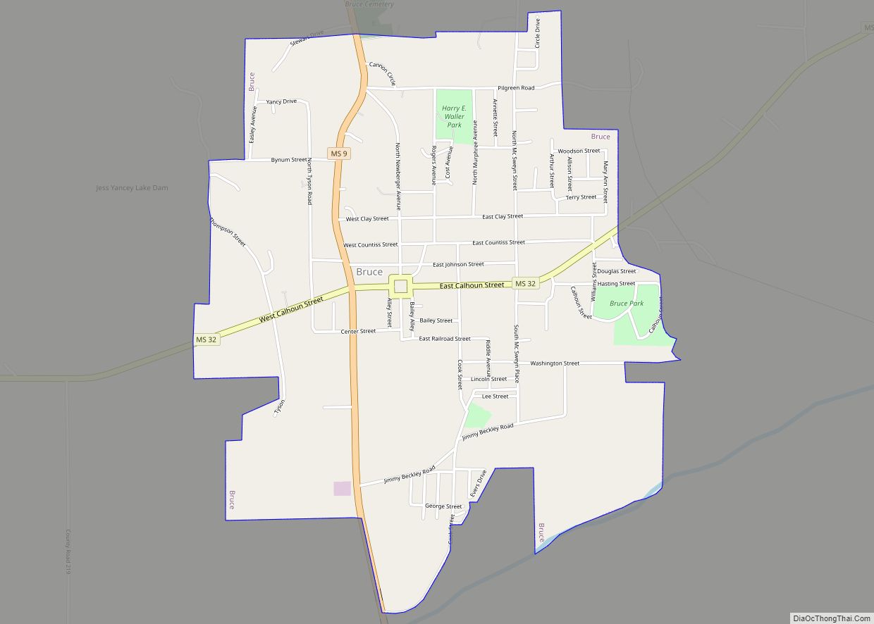
| Largest town: | Bruce |
| Total Area: | 588 sq mi (1,520 km²) |
| Land Area: | 587 sq mi (1,520 km²) |
| Total Population: | 13,266 |
| Population Density: | 23/sq mi (8.7/km²) |
| Time zone: | UTC−6 (Central) |
| Summer Time Zone (DST): | UTC−5 (CDT) |
| Website: | calhouncoms.com |
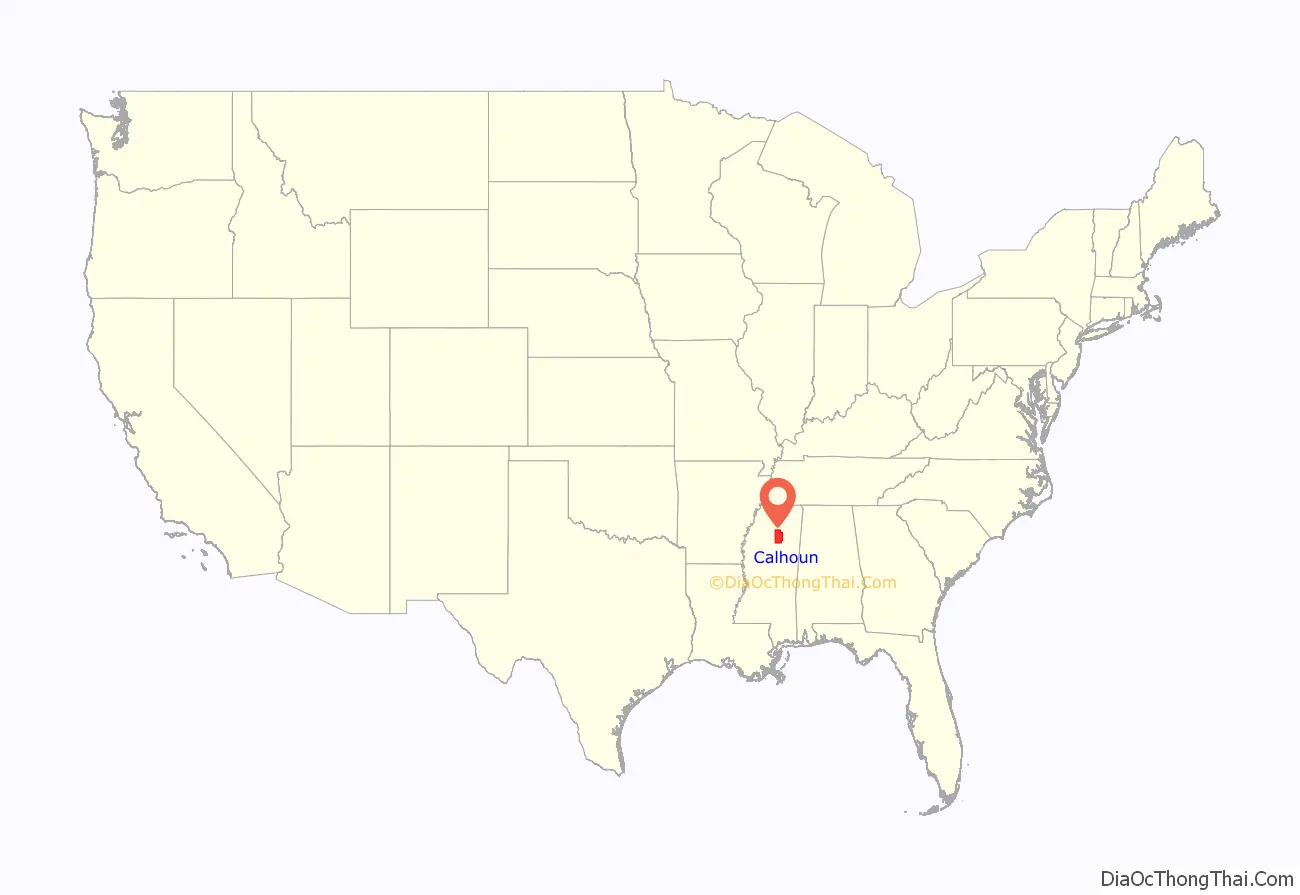
Calhoun County location map. Where is Calhoun County?
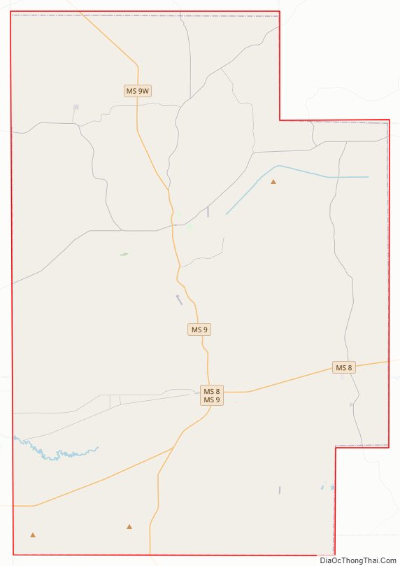
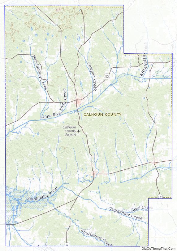
Calhoun County Road Map
Geography
According to the U.S. Census Bureau, the county has a total area of 588 square miles (1,520 km), of which 587 square miles (1,520 km) is land and 1.4 square miles (3.6 km) (0.2%) is water.
Adjacent counties
- Lafayette County (north)
- Pontotoc County (northeast)
- Chickasaw County (east)
- Webster County (south)
- Grenada County (southwest)
- Yalobusha County (west)
Calhoun County Topographic Map
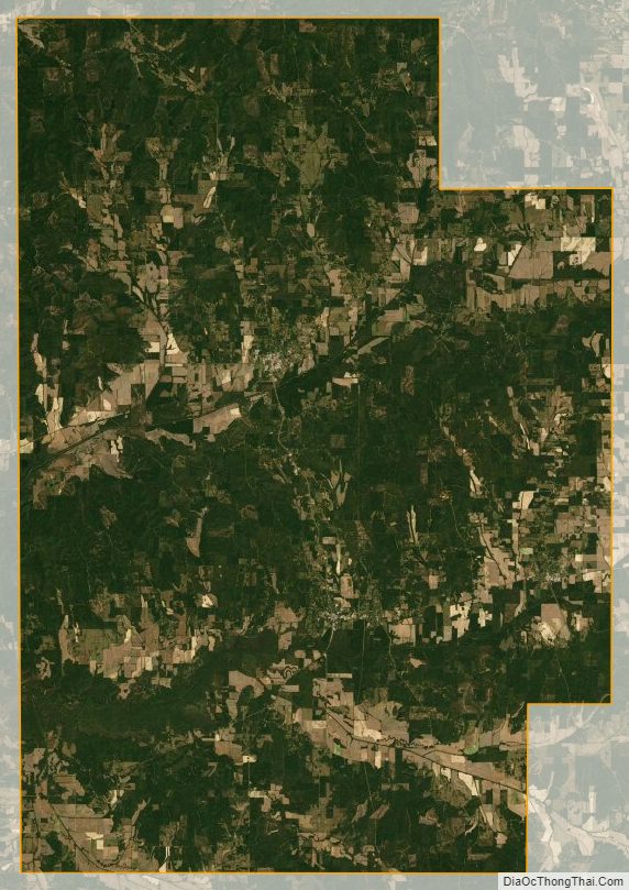
Calhoun County Satellite Map
Calhoun County Outline Map