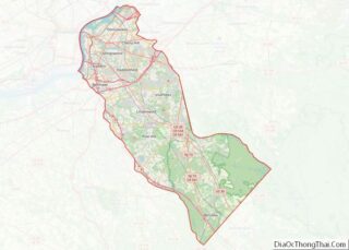
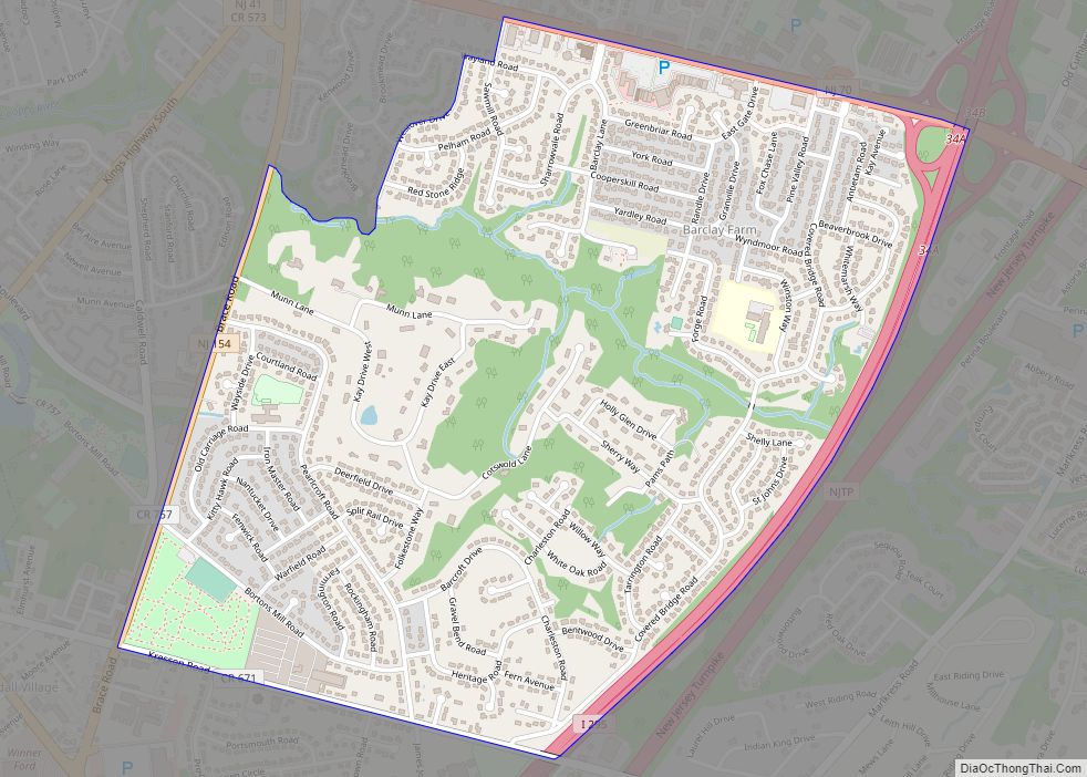
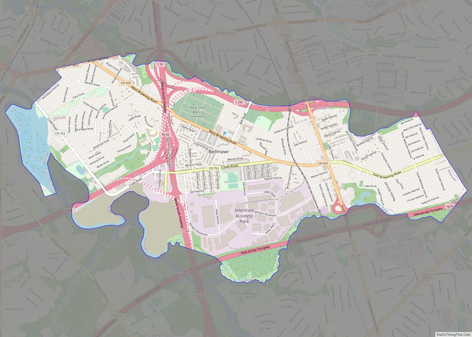
Map of Camden County, New Jersey

Camden County overview:
Name:Camden County
FIPS code:34-007
State:New Jersey
Founded:March 13, 1844
Named for:Charles Pratt, 1st Earl Camden
Seat:Camden
Total Area:227.293 sq mi (588.69 km²)
Land Area:221.263 sq mi (573.07 km²)
Total Population:523,485
Population Density:2,364.9/sq mi (913.1/km²)
Website:www.camdencounty.com

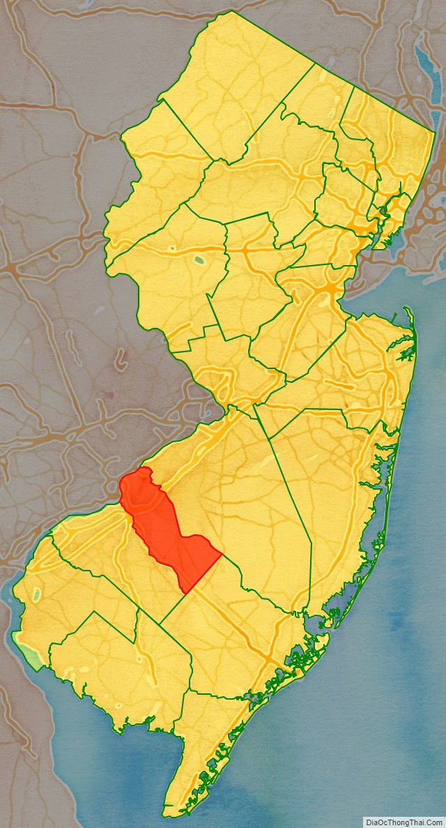
Camden County location map. Where is Camden County?

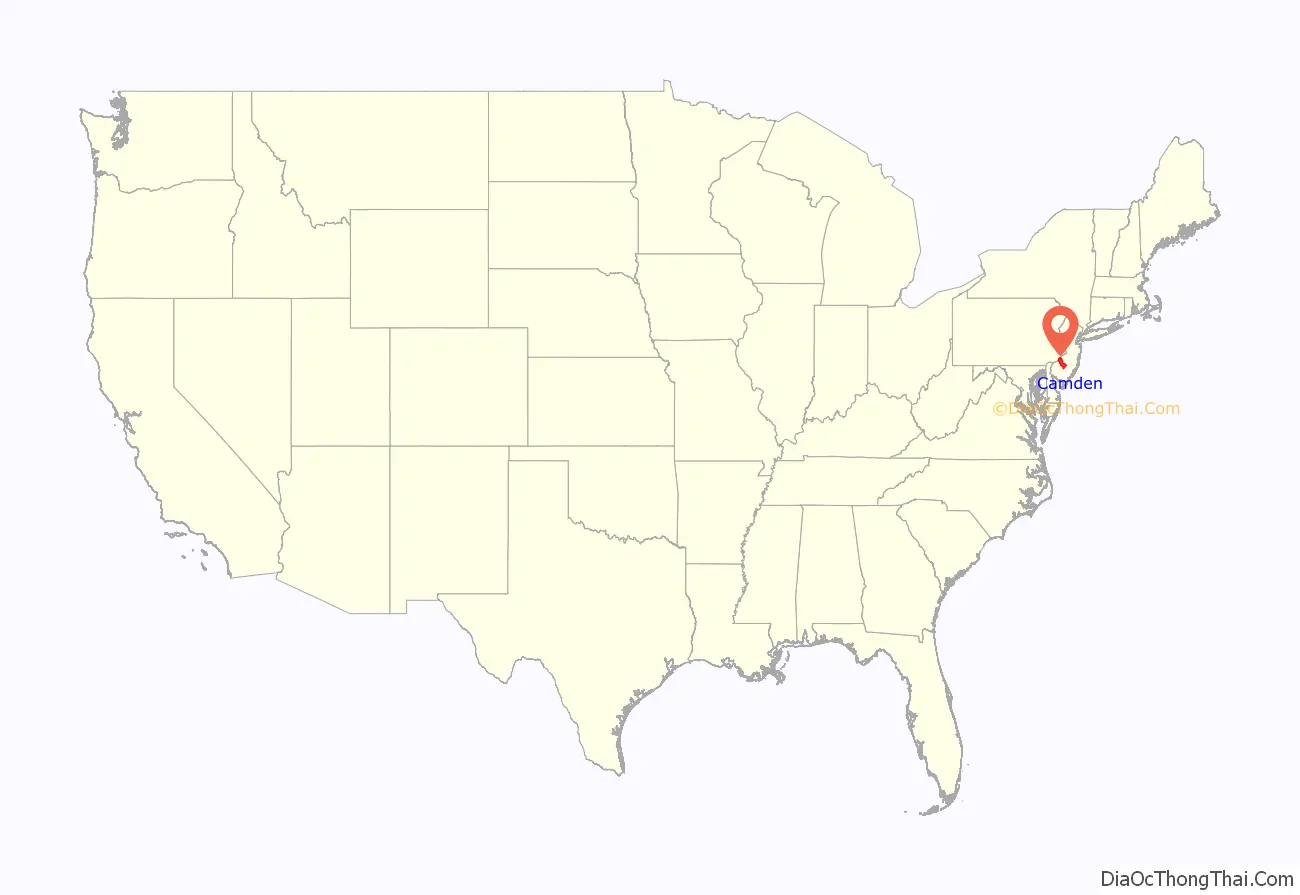
Camden County location on the U.S. Map. Where is Camden County.
Location of Camden County in the the United States.
Camden County location on the New Jersey map. Where is Camden County.
Location of Camden County in New Jersey.

Camden County Road Map

Camden CountyStreet Map.
Street map of Camden County, New Jersey. Source: OpenStreetMap (OSM)
Camden CountyMap
Camden Countypolitical map.

Geography

Camden County has a total area of 227.293 square miles (588.69 km), including 221.263 square miles (573.07 km) of land (97.3%) and 6.030 square miles (15.62 km) of water (2.7%). Located in a coastal/alluvial plain, the county is uniformly flat and low-lying. The highest points are a survey benchmark near the Burlington County line at 219 feet (67 m) above sea level. The low point is sea level, along the Delaware River.

Climate and weather

In recent years, average temperatures in the county seat of Camden have ranged from a low of 26 °F (−3 °C) in January to a high of 87 °F (31 °C) in July, although a record low of −11 °F (−24 °C) was recorded in February 1934 and a record high of 106 °F (41 °C) was recorded in August 1918. Average monthly precipitation ranged from 2.75 inches (70 mm) in February to 4.35 inches (110 mm) in July. The county has a humid subtropical climate (Cfa). Average monthly temperatures in Chesilhurst range from 33.1 °F in January to 76.4 °F in July. [3]
Camden County Topographic Map

Topographic Map of Camden County, New Jersey
Camden County Topo map.

Camden County Satellite Map

Satellite Map of Camden County, New Jersey
Camden County satellite map.

Camden County Outline Map

Outline Map of Camden County, New Jersey
Camden County outline map.
5/5 - (5 votes)

Leave a Comment

Parent Unit Map

Map of United States
The United States (US) covers a total area of 9,833,520 sq. km. Of this area, the 48 contiguous states and the District of Columbia cover 8,080,470 sq. km. The archipelago of Hawaii has an area of 28,311 sq. km while the remaining area is part of the US territories. The greatest east-west distance in the ... Read more
Map of United States
Political map of New Jersey State – Printable Collection
New Jersey is a state situated within both the Mid-Atlantic and Northeastern regions of the United States. It is the most densely populated U.S. state, and is situated at the center of the Northeast megalopolis, the most populous American urban agglomeration. New Jersey is bordered on its north and east by the state of New ... Read more
Political map of New Jersey State – Printable Collection

Related Administrative Divisions

Sub-Administrative Units Maps