Camden is a city in and the county seat of Camden County, in the U.S. state of New Jersey. Camden is part of the Delaware Valley (Philadelphia metropolitan area) and is located directly across the Delaware River from Philadelphia, the nation’s sixth most populous city. At the 2020 United States census, Camden was the 14th-most populous municipality in the state, with a population of 71,791, a decrease of 5,553 (−7.2%) from the 2010 census count of 77,344, when it had been ranked 12th in the state by population (falling behind both Brick Township and nearby Cherry Hill), which in turn reflected a decline of 1,984 (-2.5%) from the 79,318 counted at the 2000 census. The Census Bureau’s Population Estimates Program calculated that the population was 70,996 in 2022, making it the 528th-most-populous in the country. The city was incorporated on February 13, 1828. Camden has been the county seat of Camden County since the county was formed on March 13, 1844. The city derives its name from Charles Pratt, 1st Earl Camden. Camden is made up of over 20 neighborhoods. The city is part of the South Jersey region of the state.
Beginning in the early 1900s, Camden was a prosperous industrial city, and remained so throughout the Great Depression and World War II. During the 1950s, Camden manufacturers began gradually closing their factories and moving out of the city. With the loss of manufacturing jobs came a sharp population decline. The growth of the interstate highway system also played a large role in suburbanization, which resulted in white flight. Civil unrest and crime became common in Camden. In 1971, civil unrest reached its peak, with riots breaking out in response to the death of Horacio Jimenez, a Puerto Rican motorist who was killed by two police officers.
The Camden waterfront holds three tourist attractions: the USS New Jersey, the Freedom Mortgage Pavilion, and the Adventure Aquarium. The city is the home of Rutgers University–Camden, which was founded as the South Jersey Law School in 1926, and Cooper Medical School of Rowan University, which opened in 2012. Camden also houses both Cooper University Hospital and Virtua Our Lady of Lourdes Medical Center. Camden County College and Rowan University also have campuses in downtown Camden. The “eds and meds” institutions account for roughly 45% of Camden’s total employment.
Camden had once been known for its high crime rate, though there has been a substantial decrease in crime in recent decades, especially since 2012, when the city disbanded its municipal police department and replaced it with a county-level police department. There were 23 homicides in Camden in 2017, the fewest in the city in three decades. The city saw 24 and 23 homicides in 2019 and 2020 respectively, the fourth-highest toll among New Jersey cities, behind Paterson, Trenton, and Newark. As of January 2021, violent crime was down 46% from its high in the 1990s and at the lowest level since the 1960s. Overall crime reports in 2020 were down 74% compared to 1974, the first year of uniform crime-reporting in the city.
| Name: | Camden city |
|---|---|
| LSAD Code: | 25 |
| LSAD Description: | city (suffix) |
| State: | New Jersey |
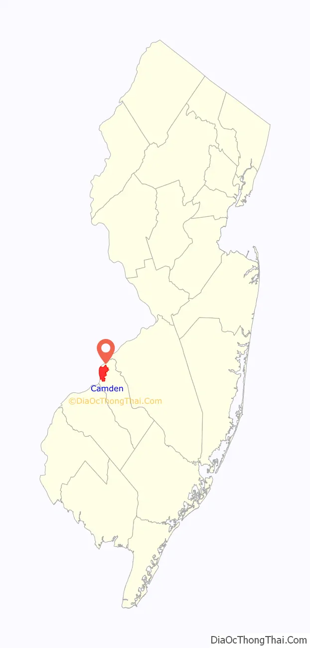
| County: | Camden County |
| Incorporated: | February 13, 1828 |
| Elevation: | 16 ft (5 m) |
| Total Area: | 10.34 sq mi (26.78 km²) |
| Land Area: | 8.92 sq mi (23.10 km²) |
| Water Area: | 1.42 sq mi (3.68 km²) 13.75% |
| Total Population: | 71,791 |
| Population Density: | 8,047.4/sq mi (3,107.1/km²) |
| Area code: | 856 |
| FIPS code: | 3410000 |
| GNISfeature ID: | 0885177 |
| Website: | www.ci.camden.nj.us |
Online Interactive Map
Click on ![]() to view map in "full screen" mode.
to view map in "full screen" mode.
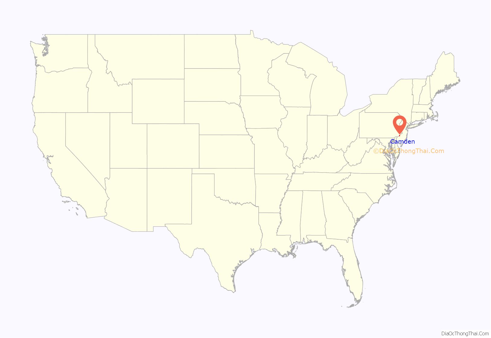
Camden location map. Where is Camden city?
Camden Road Map
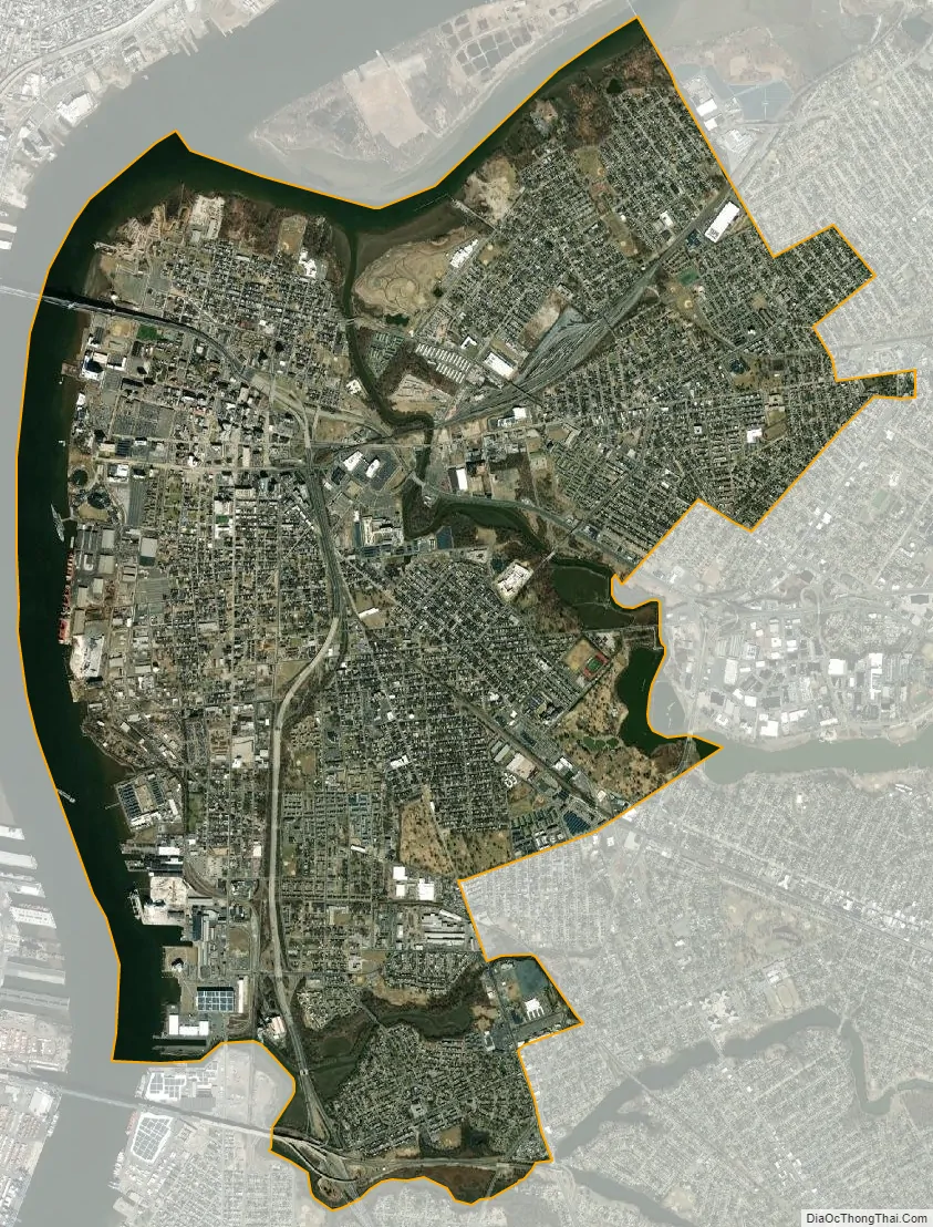
Camden city Satellite Map
Geography
According to the U.S. Census Bureau, the city had a total area of 10.34 square miles (26.78 km), including 8.92 square miles (23.10 km) of land and 1.42 square miles (3.68 km) of water (13.75%).
Camden borders Collingswood, Gloucester City, Oaklyn, Pennsauken Township and Woodlynne in Camden County, as well as Philadelphia across the Delaware River in Pennsylvania. Just offshore of Camden is Pettys Island, which is part of Pennsauken Township. The Cooper River (popular for boating) flows through Camden, and Newton Creek forms Camden’s southern boundary with Gloucester City.
Camden contains the United States’ first federally funded planned community for working class residents, Yorkship Village (now called Fairview). The village was designed by Electus Darwin Litchfield, who was influenced by the “garden city” developments popular in England at the time.
Neighborhoods
Camden contains more than 20 generally recognized neighborhoods:
- Ablett Village
- Bergen Square
- Beideman
- Broadway
- Centerville
- Center City/Downtown Camden/Central Business District
- Central Waterfront
- Cooper
- Cooper Grant
- Cooper Point
- Cramer Hill
- Dudley
- East Camden
- Fairview
- Gateway
- Kaighn Point
- Lanning Square
- Liberty Park
- Marlton
- Morgan Village
- North Camden
- Parkside
- Pavonia
- Pyne Point
- Rosedale
- South Camden
- Stockton
- Waterfront South
- Walt Whitman Park
- Yorkship
Port
On the Delaware River, with access to the Atlantic Ocean, the Port of Camden handles break bulk, bulk cargo, as well as some containers. Terminals fall under the auspices of the South Jersey Port Corporation as well as private operators such as Holt Logistics/Holtec International. The port receives hundreds of ships moving international and domestic cargo annually and is one of the USA’s largest shipping centers for wood products, cocoa and perishables.
Climate
Camden has a humid subtropical climate (Cfa in the Köppen climate classification) with hot summers and cool to cold winters.
See also
Map of New Jersey State and its subdivision: Map of other states:- Alabama
- Alaska
- Arizona
- Arkansas
- California
- Colorado
- Connecticut
- Delaware
- District of Columbia
- Florida
- Georgia
- Hawaii
- Idaho
- Illinois
- Indiana
- Iowa
- Kansas
- Kentucky
- Louisiana
- Maine
- Maryland
- Massachusetts
- Michigan
- Minnesota
- Mississippi
- Missouri
- Montana
- Nebraska
- Nevada
- New Hampshire
- New Jersey
- New Mexico
- New York
- North Carolina
- North Dakota
- Ohio
- Oklahoma
- Oregon
- Pennsylvania
- Rhode Island
- South Carolina
- South Dakota
- Tennessee
- Texas
- Utah
- Vermont
- Virginia
- Washington
- West Virginia
- Wisconsin
- Wyoming


