Gillette (/dʒɪˈlɛt/, jih-LET) is a city in and the county seat of Campbell County, Wyoming, United States. The town was founded in 1891 as a major railway town on the Chicago, Burlington and Quincy Railroad.
The population was estimated at 32,030 as of July 1, 2019. Gillette’s population increased 48% in the ten years after the 2000 census, which counted 19,646 residents after a boom in its local fossil fuel industries.
Gillette is centrally located in an area involved with the development of vast quantities of American coal, oil, and coalbed methane gas. The city calls itself the “Energy Capital of the Nation”; Wyoming provides nearly 35% of the nation’s coal. However, a decline in coal use in the U.S. has led to a decline in the local economy, leading some local officials to look for other industries or employment opportunities. As a major economic hub for the county, the city is also a regional center for media, education, health, and arts.
| Name: | Gillette city |
|---|---|
| LSAD Code: | 25 |
| LSAD Description: | city (suffix) |
| State: | Wyoming |
| County: | Campbell County |
| Elevation: | 4,554 ft (1,388 m) |
| Total Area: | 23.17 sq mi (60.01 km²) |
| Land Area: | 23.13 sq mi (59.91 km²) |
| Water Area: | 0.04 sq mi (0.10 km²) |
| Total Population: | 33,403 |
| Population Density: | 1,384.66/sq mi (534.63/km²) |
| ZIP code: | 82716-82718 |
| Area code: | 307, exchanges 670, 682, 685-688 |
| FIPS code: | 5631855 |
| GNISfeature ID: | 1609094 |
| Website: | www.gillettewy.gov |
Online Interactive Map
Click on ![]() to view map in "full screen" mode.
to view map in "full screen" mode.
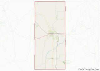
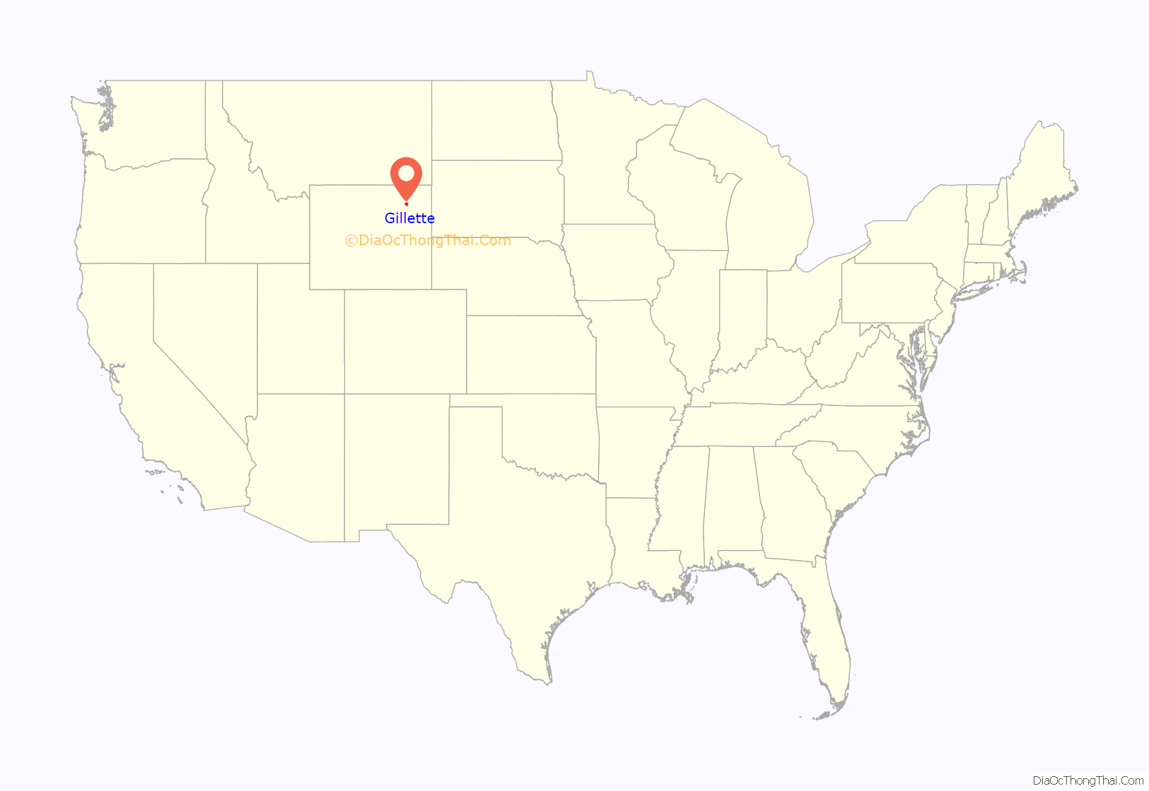
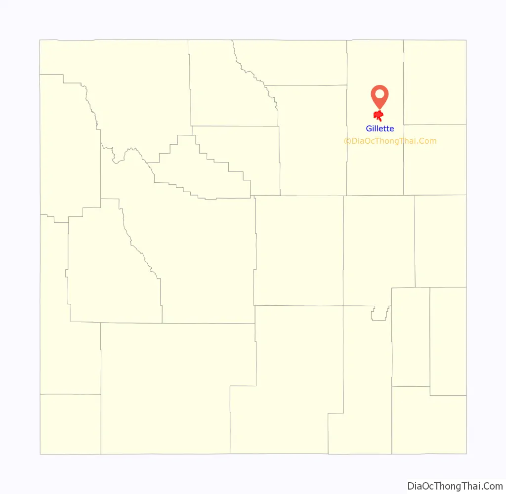
Gillette location map. Where is Gillette city?
History
Before its founding, Gillette started as Donkey Town, named after Donkey Creek, and then was moved and called Rocky Pile after Rocky Draw.
Gillette was founded in 1891 with the coming of the Chicago, Burlington & Quincy Railroad and incorporated on January 6, 1892, less than two years after Wyoming became a state. Chicago, Burlington & Quincy Railroad changed the name to Gillette for Edward Gillette, a surveyor for the company.
In November 1895, a fire destroyed most of the city. Only two saloons, two stores, and a restaurant survived. A group of families from Mathews County, Virginia and Gloucester County, Virginia settled in the town between 1895 and 1905, all of whom were members of the Episcopal Church, and there has been an Episcopalian presence in Gillette ever since. During this same era a group of immigrants from County Antrim, Ireland (in what has since become Northern Ireland) also settled in Gillette, these settlers were Presbyterians of Scottish descent, this population was referred to as “Scots-Irish” in the United States, however this was not a term used in Ireland. Norwegian immigrants arrived in the town during the same era, all of whom were Lutheran. There were also a small group of settlers from rural New England, these were old stock “Yankee” New Englanders who were members of the Congregational church.
In 1974, U.S. psychologist ElDean Kohrs used the town as the basic example of what he called the Gillette Syndrome, the social disruption that can occur in a community due to rapid population growth. During the 1960s, Gillette’s population doubled from 3,580 to 7,194. Kohrs proposed that this fast increase caused increased crime, high costs of living, and weakened social and community bonds. Some of Kohrs’s claims about the energy industry’s influence have been disputed, since similar increases in divorce rates, welfare usage, and crime were also seen in other rapidly growing areas of the country.
Gillette annexed the census-designated place Antelope Valley-Crestview on January 1, 2018. Antelope Valley-Crestview’s population was 1,658 at the 2010 census and it had an area of 4.9 mi (12.7 km).
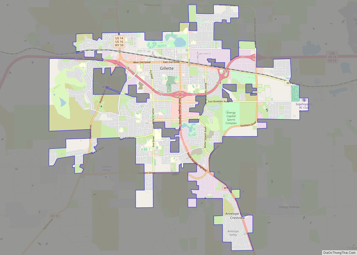
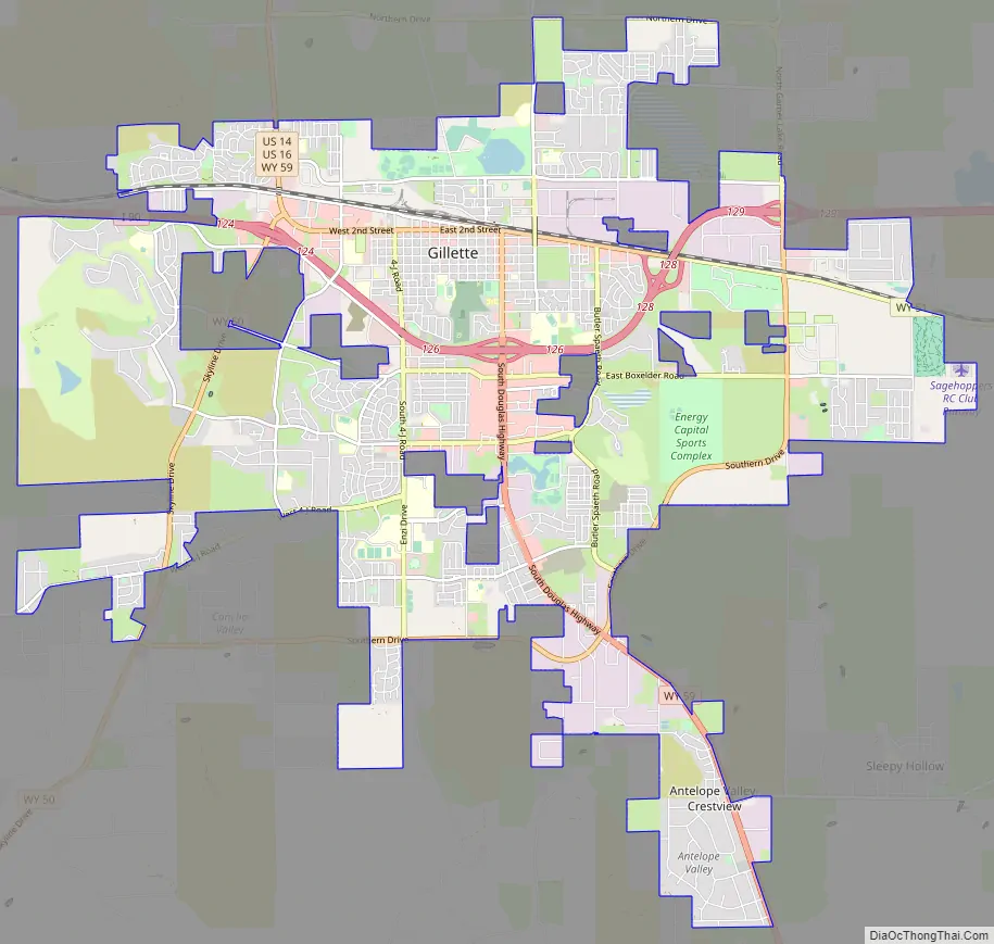
Gillette Road Map
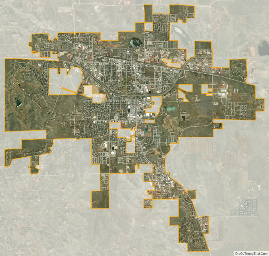
Gillette city Satellite Map
Geography
Gillette is located at 44°16′58″N 105°30′19″W / 44.28278°N 105.50528°W / 44.28278; -105.50528 (44.282660, −105.505256). It is situated between the Bighorn Mountains to the west and the Black Hills to the east, in the Powder River Basin.
According to the United States Census Bureau, the city has an area of 19.00 square miles (49.21 km), of which 18.97 square miles (49.13 km) are land and 0.03 square miles (0.08 km) is water.
Few trees were in Gillette when it was founded. The native trees, box elder and cottonwood, were found along creeks. The oldest surviving non-native trees were planted in the 1940s. The earliest were almost exclusively elm, cottonwood, white poplar, green ash, Colorado blue spruce, and Ponderosa pine. In the 1960s, crab apples, honey locust, catalpa, European mountain-ash, and other evergreens were planted. Nurseries started to sell trees in the 1970s, which further increased tree diversity.
Skyline
Climate
Gillette has a borderline humid continental (Köppen Dfa)/cool semi-arid (BSk) climate characterised by hot summers with pleasant mornings, and generally freezing, though very variable, winters. The city lies in USDA plant hardiness zone 4b.
See also
Map of Wyoming State and its subdivision: Map of other states:- Alabama
- Alaska
- Arizona
- Arkansas
- California
- Colorado
- Connecticut
- Delaware
- District of Columbia
- Florida
- Georgia
- Hawaii
- Idaho
- Illinois
- Indiana
- Iowa
- Kansas
- Kentucky
- Louisiana
- Maine
- Maryland
- Massachusetts
- Michigan
- Minnesota
- Mississippi
- Missouri
- Montana
- Nebraska
- Nevada
- New Hampshire
- New Jersey
- New Mexico
- New York
- North Carolina
- North Dakota
- Ohio
- Oklahoma
- Oregon
- Pennsylvania
- Rhode Island
- South Carolina
- South Dakota
- Tennessee
- Texas
- Utah
- Vermont
- Virginia
- Washington
- West Virginia
- Wisconsin
- Wyoming