Champaign County is a county located in the U.S. state of Ohio. As of the 2020 census, the population was 38,714. Its county seat and largest city is Urbana. The county takes its name from the French word for “open level country”. Champaign County became the 18th of 88 Ohio counties on March 1, 1805. It was carved from Greene and Franklin counties by Legislative action.
Champaign County comprises the Urbana, OH Micropolitan Statistical Area, which is also included in the Dayton–Springfield–Sidney, OH Combined Statistical Area.
| Name: | Champaign County |
|---|---|
| FIPS code: | 39-021 |
| State: | Ohio |
| Founded: | March 1, 1805 |
| Named for: | “plain” in French |
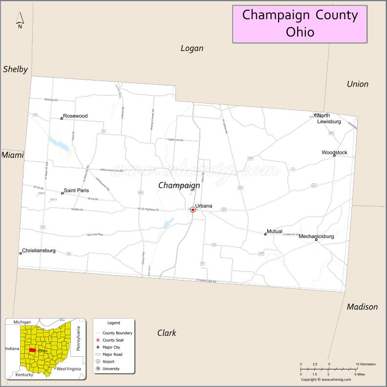
| Seat: | Urbana |
| Largest city: | Urbana |
| Total Area: | 430 sq mi (1,100 km²) |
| Land Area: | 429 sq mi (1,110 km²) |
| Total Population: | 38,714 |
| Population Density: | 90/sq mi (35/km²) |
| Time zone: | UTC−5 (Eastern) |
| Summer Time Zone (DST): | UTC−4 (EDT) |
| Website: | www.co.champaign.oh.us |
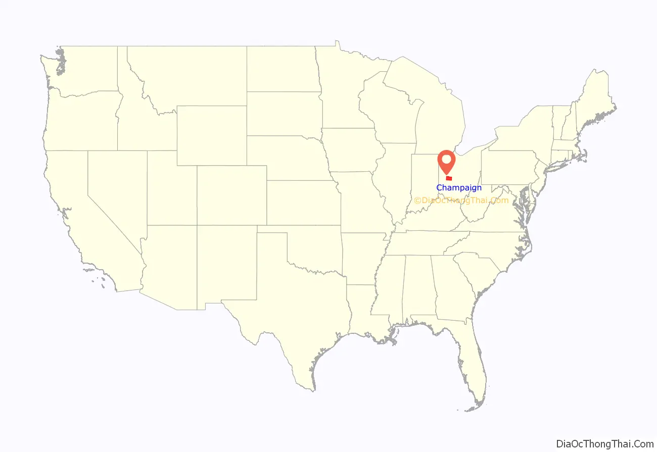
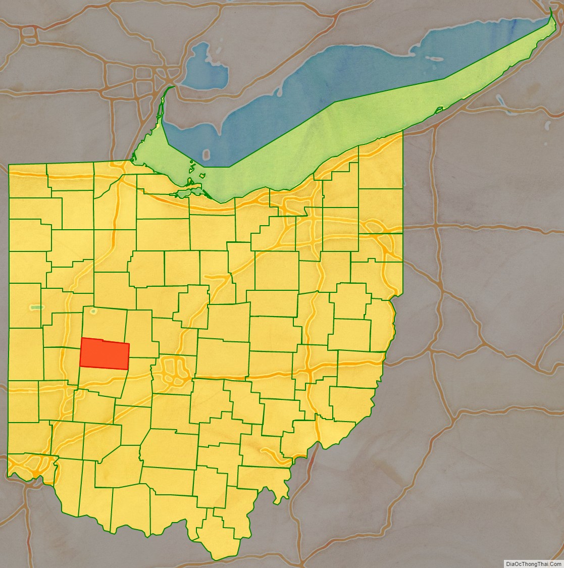
Champaign County location map. Where is Champaign County?
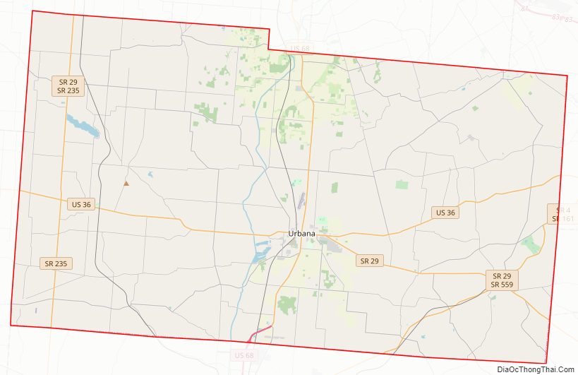
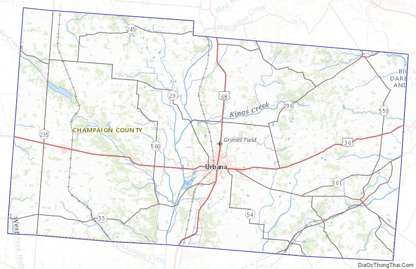
Champaign County Road Map
Geography
According to the U.S. Census Bureau, the county has a total area of 430 square miles (1,100 km), of which 429 square miles (1,110 km) is land and 1.2 square miles (3.1 km) (0.3%) is water.
Adjacent counties
- Logan County (north)
- Union County (northeast)
- Madison County (southeast)
- Clark County (south)
- Miami County (southwest)
- Shelby County (northwest)
Champaign County Topographic Map
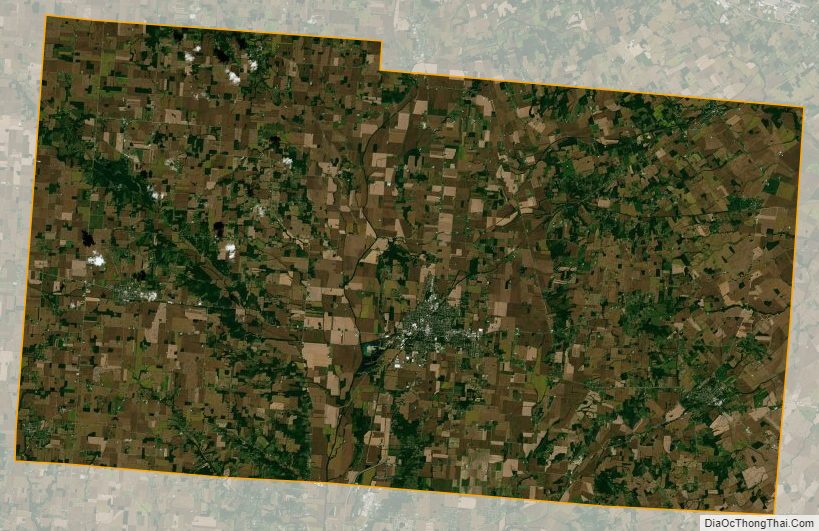
Champaign County Satellite Map
Champaign County Outline Map