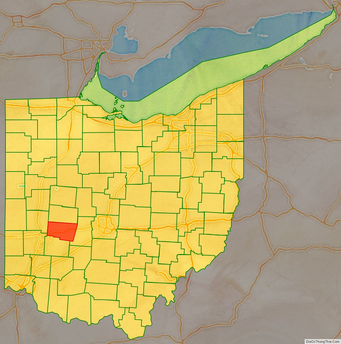
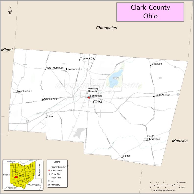
Clark County is a county located in the west central portion of the U.S. state of Ohio. As of the 2020 census, the population was 136,001. Its county seat and largest city is Springfield. The county was created on March 1, 1818, and was named for General George Rogers Clark, a hero of the American Revolution.
Clark County comprises the Springfield, OH Metropolitan Statistical Area, which is also included in the Dayton-Springfield-Sidney-OH Combined Statistical Area.
| Name: | Clark County |
|---|---|
| FIPS code: | 39-023 |
| State: | Ohio |
| Founded: | March 1, 1818 |
| Named for: | George Rogers Clark |
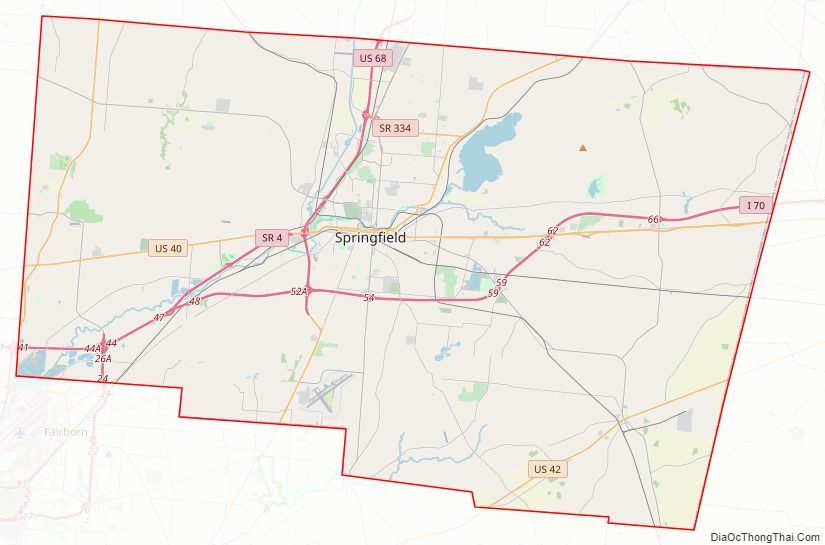
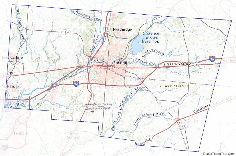
| Seat: | Springfield |
| Largest city: | Springfield |
| Total Area: | 403 sq mi (1,040 km²) |
| Land Area: | 397 sq mi (1,030 km²) |
| Total Population: | 136,001 |
| Population Density: | 340/sq mi (130/km²) |
| Time zone: | UTC−5 (Eastern) |
| Summer Time Zone (DST): | UTC−4 (EDT) |
| Website: | www.clarkcountyohio.gov |
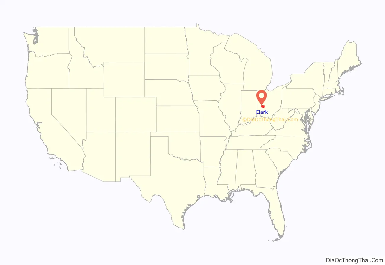
Clark County location map. Where is Clark County?
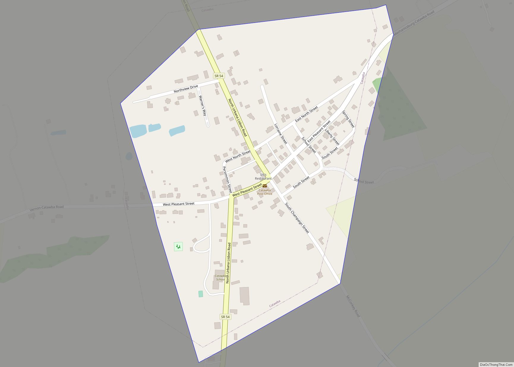
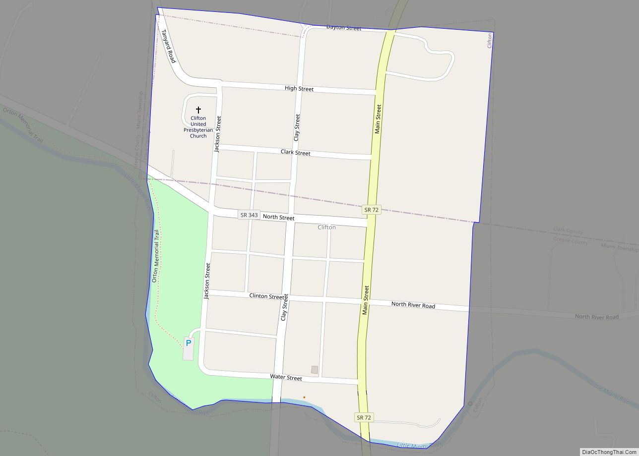
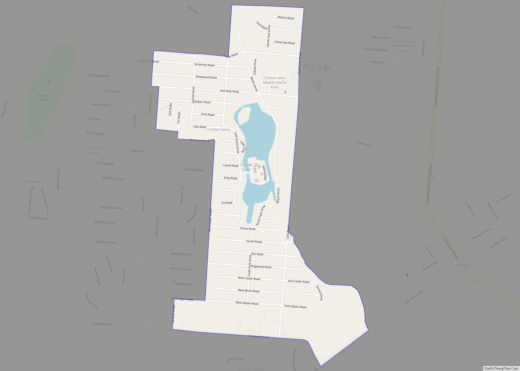
Clark County Road Map
Geography
According to the U.S. Census Bureau, the county has a total area of 403 square miles (1,040 km), of which 397 square miles (1,030 km) is land and 5.1 square miles (13 km) (1.3%) is water. It is the third-smallest county in Ohio by total area.
Adjacent counties
- Champaign County (north)
- Madison County (east)
- Greene County (south)
- Montgomery County (southwest)
- Miami County (west)
Clark County Topographic Map
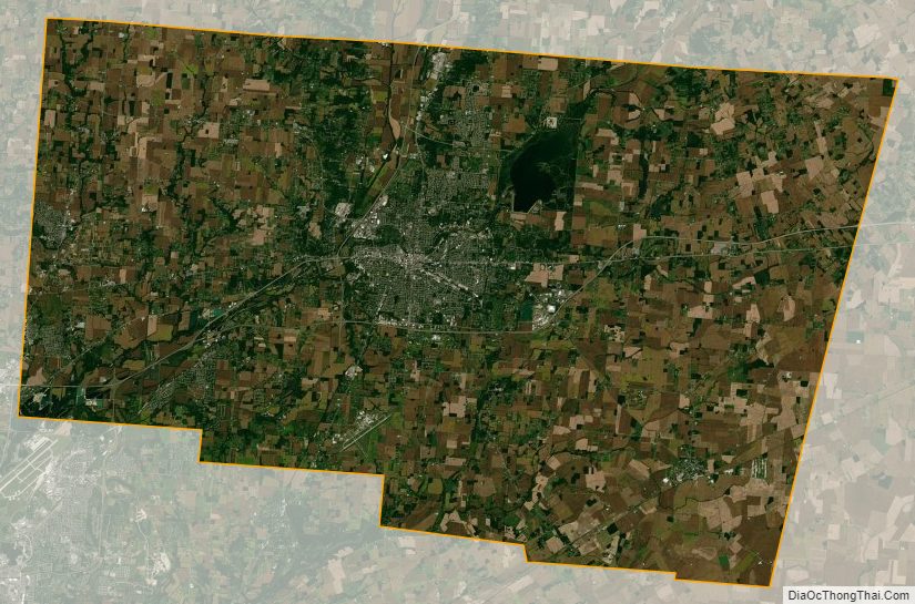
Clark County Satellite Map
Clark County Outline Map