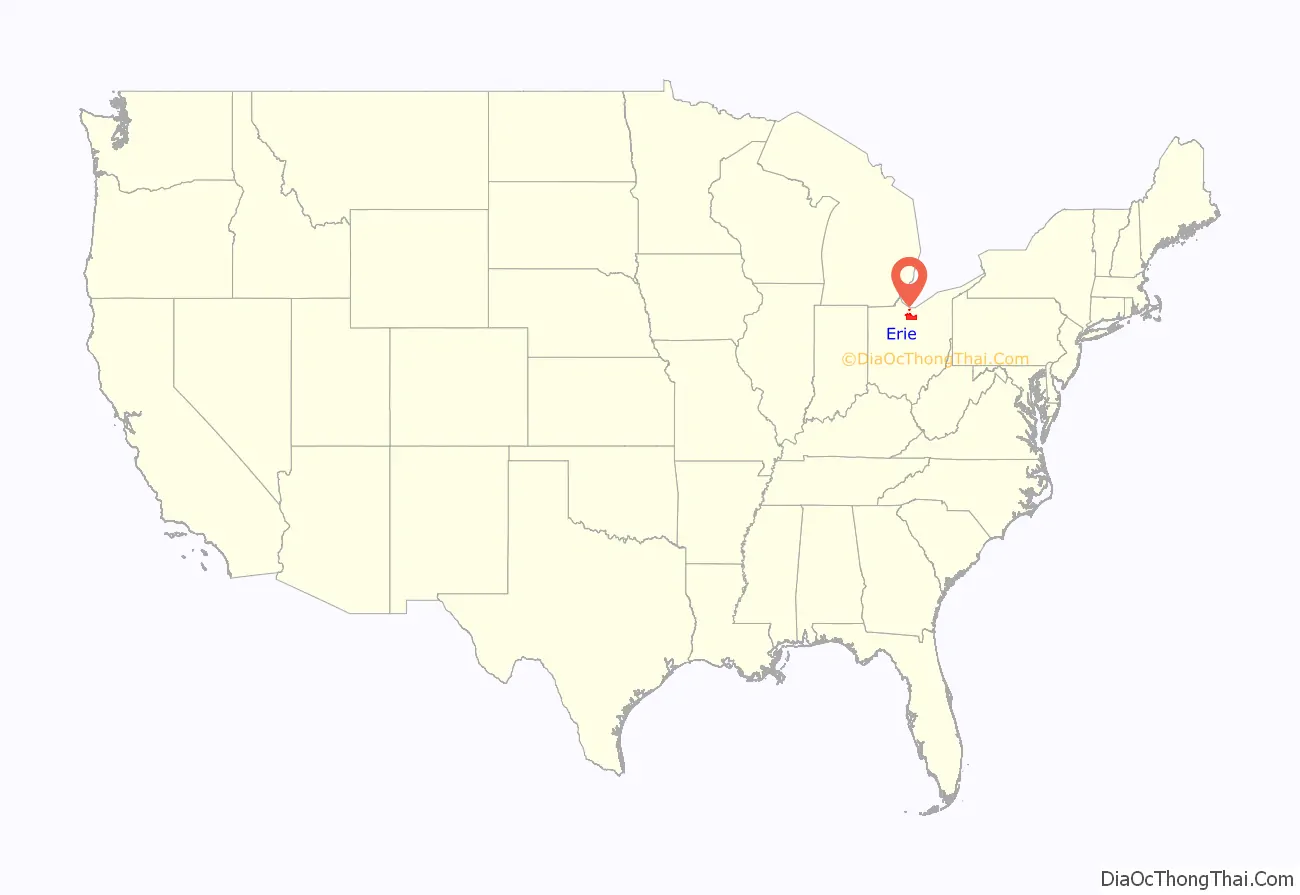
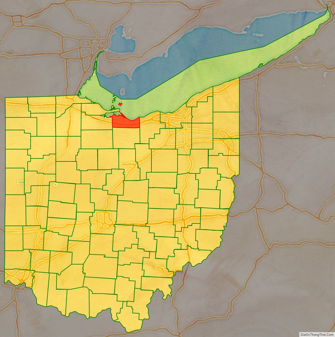
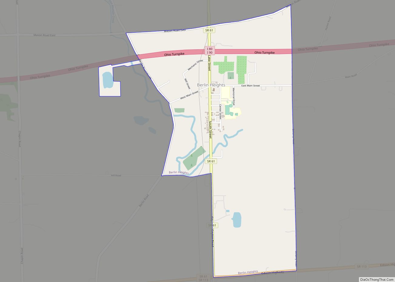
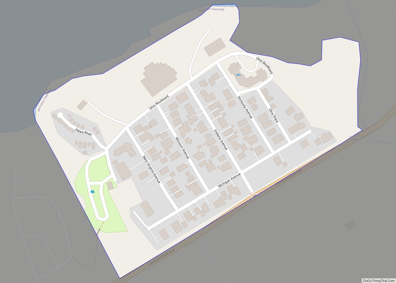
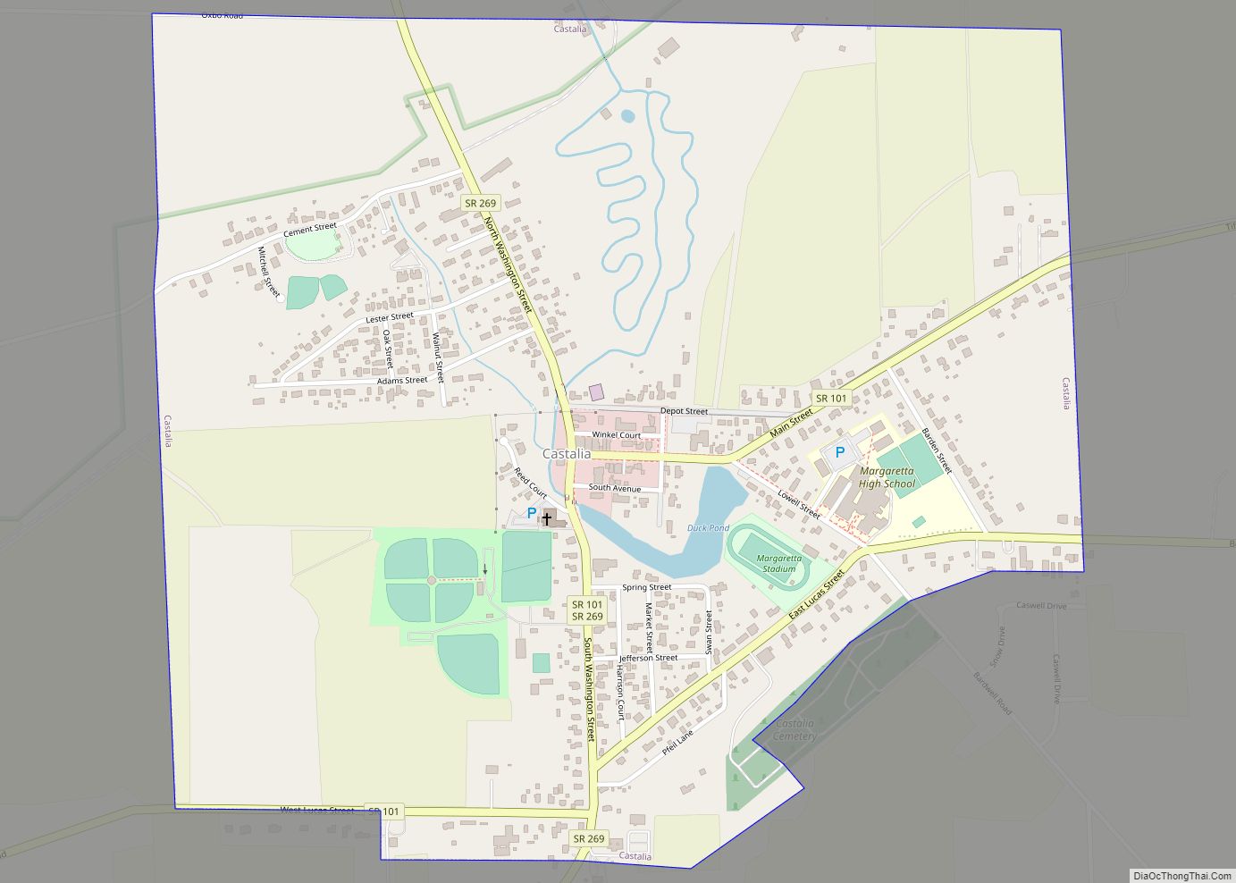
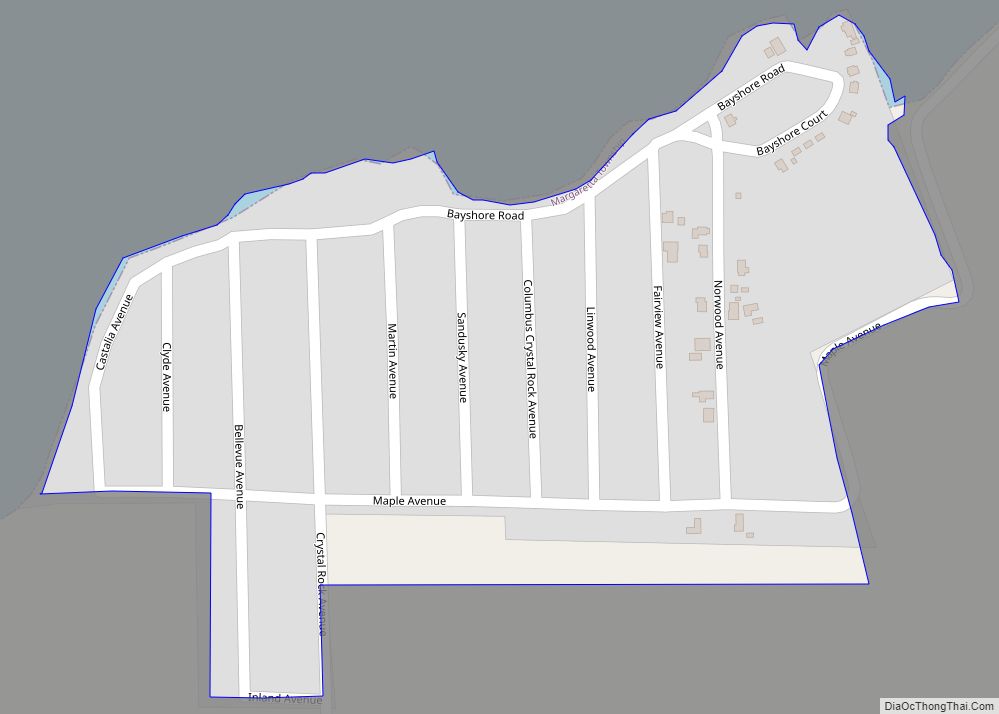
Erie County is a county located in the northern portion of the U.S. state of Ohio. As of the 2020 census, the population was 75,622. Its county seat and largest city is Sandusky. The county is named for the Erie tribe, whose name was their word for “wildcat”. It was formed in 1838 from the northern third of Huron County and a portion of Sandusky County.
Erie County comprises the Sandusky, OH Micropolitan Statistical Area, which is also included in the Cleveland-Akron–Canton, OH Combined Statistical Area.
| Name: | Erie County |
|---|---|
| FIPS code: | 39-043 |
| State: | Ohio |
| Founded: | March 16, 1838 |
| Named for: | Erie tribe |
| Seat: | Sandusky |
| Largest city: | Sandusky |
| Total Area: | 626 sq mi (1,620 km²) |
| Land Area: | 252 sq mi (650 km²) |
| Total Population: | 75,622 |
| Population Density: | 120/sq mi (50/km²) |
| Time zone: | UTC−5 (Eastern) |
| Summer Time Zone (DST): | UTC−4 (EDT) |
| Website: | www.eriecounty.oh.gov |
Erie County location map. Where is Erie County?
History
Erie County was created in 1838 from a portion of Huron County. A few subsequent changes to Erie County’s boundaries occurred shortly after its initial formation.
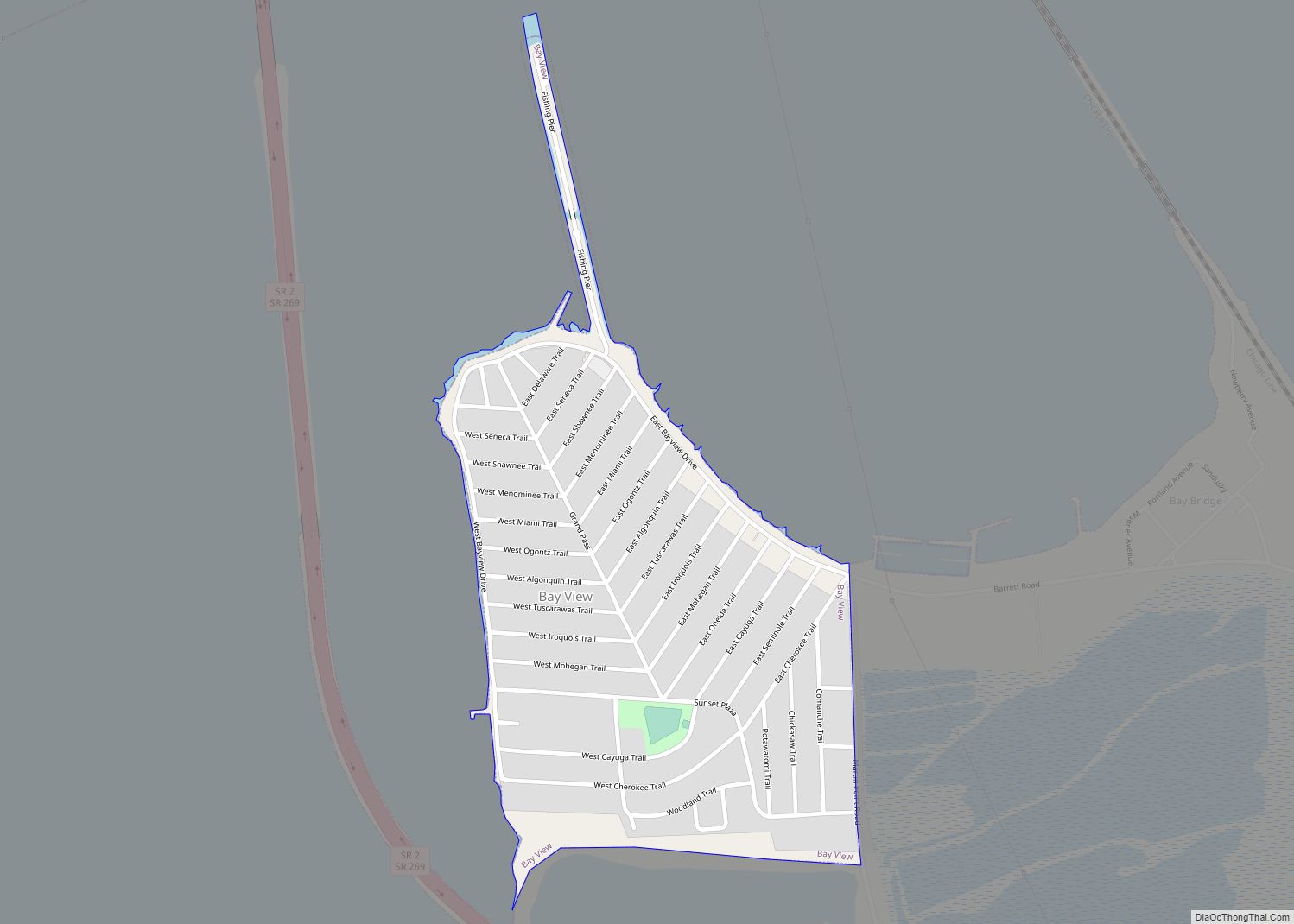
Erie County Road Map
Geography
According to the U.S. Census Bureau, the county has a total area of 626 square miles (1,620 km), of which 252 square miles (650 km) is land and 374 square miles (970 km) (60%) is water. It is the second-smallest county in Ohio by land area after Lake County . The county is bordered on the north by Lake Erie; the opposite shore is made up of two counties in Ontario, Canada.
It is drained by the Huron and Vermilion rivers. Near the Huron River are several ancient earthwork mounds and enclosures constructed by early indigenous peoples. Sandusky has extensive quarries of valuable limestone. The surface is generally level, and the soil alluvial and exceedingly fertile.
Adjacent counties and municipalities
- Essex County, Ontario (north, across Lake Erie)
- Chatham-Kent municipality, Ontario (north, across Lake Erie)
- Lorain County (east)
- Huron County (south)
- Sandusky County (west)
- Ottawa County (northwest)
Major highways
- I-80 (Ohio Turnpike)
- I-90 (Ohio Turnpike)
- US 6
- US 250
- SR 2
- SR 4
- SR 13
- SR 60
- SR 61
- SR 99
- SR 101
- SR 113
- SR 269
