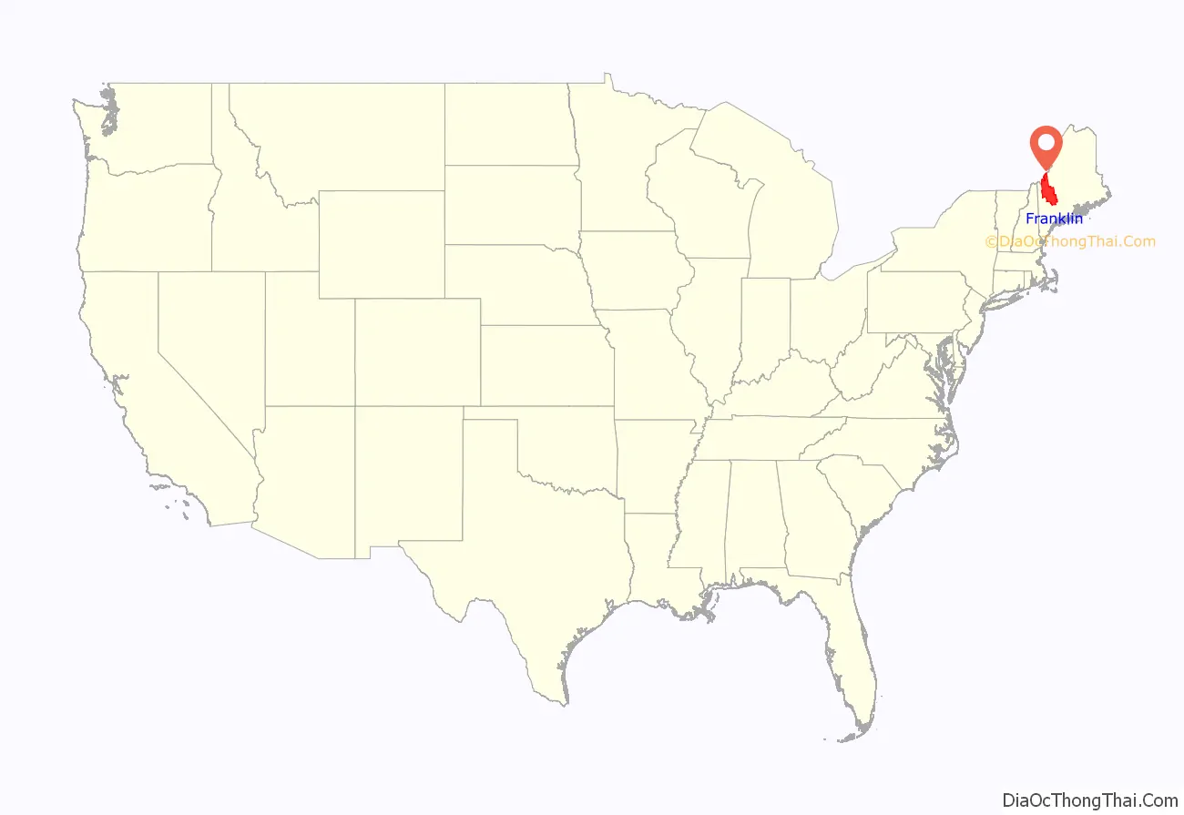
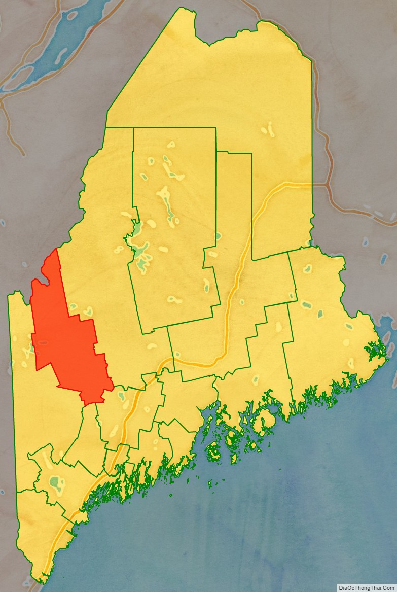
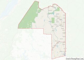
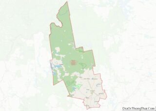
Franklin County is a county located in the state of Maine, in the United States. As of the 2020 census, the population was 29,456, making it the second-least populous county in Maine. Its county seat is Farmington. The county was established on May 9, 1838 and named for Benjamin Franklin.
| Name: | Franklin County |
|---|---|
| FIPS code: | 23-007 |
| State: | Maine |
| Founded: | May 9, 1838 |
| Named for: | Benjamin Franklin |
| Seat: | Farmington |
| Largest town: | Farmington |
| Total Area: | 1,743 sq mi (4,510 km²) |
| Land Area: | 1,697 sq mi (4,400 km²) |
| Total Population: | 29,456 |
| Population Density: | 17.4/sq mi (6.7/km²) |
| Time zone: | UTC−5 (Eastern) |
| Summer Time Zone (DST): | UTC−4 (EDT) |
| Website: | franklincountymaine.gov |
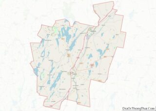
Franklin County location map. Where is Franklin County?
History
Franklin County was formed on 9 May 1838 from portions of Kennebec, Oxford and Somerset counties. Smaller adjustments were made during the following fourteen years.
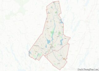
Franklin County Road Map
Geography
According to the U.S. Census Bureau, the county has a total area of 1,743 square miles (4,510 km), of which 1,697 square miles (4,400 km) is land and 47 square miles (120 km) (2.7%) is water. The county high point is Sugarloaf Mountain, the ski mountain in Carrabassett Valley whose elevation is 4237 feet.
Adjacent counties and municipalities
- Somerset County – northeast
- Kennebec County – southeast
- Androscoggin County – south
- Oxford County – southwest
- Le Granit Regional County Municipality, Quebec – northwest
