Aroostook County (/əˈruːstək/ ə-ROO-stək; French: Comté d’Aroostook) is a county in the U.S. state of Maine along the Canada–U.S. border. As of the 2020 census, the population was 67,105. Its county seat is Houlton, with offices in Caribou and Fort Kent.
Known locally in Maine as “The County”, it is the largest county in Maine by total area, and the second largest in the United States by total area east of the Mississippi River, behind St. Louis County, Minnesota. With over 6,800 square miles (18,000 km) of land it is larger than three U.S. states. It is Maine’s northernmost county. Its northernmost village, Estcourt Station, is also the northernmost community in New England and in the contiguous United States east of the Great Lakes.
Aroostook County is known for its potato crops. The county is also an emerging hub for wind power. Its Acadian culture is also well-known. In the Saint John Valley in the northern part of the county, which borders Madawaska County, New Brunswick, many of the residents are bilingual in English and Acadian French, whereas elsewhere in Maine, New England French is the predominant form of French spoken.
| Name: | Aroostook County |
|---|---|
| FIPS code: | 23-003 |
| State: | Maine |
| Founded: | May 1, 1839 |
| Named for: | Miꞌkmaq word meaning “beautiful water” |
| Seat: | Houlton |
| Largest city: | Presque Isle |
| Total Area: | 6,828 sq mi (17,680 km²) |
| Land Area: | 6,671 sq mi (17,280 km²) |
| Total Population: | 67,105 |
| Population Density: | 9.8/sq mi (3.8/km²) |
| Time zone: | UTC−5 (Eastern) |
| Summer Time Zone (DST): | UTC−4 (EDT) |
| Website: | www.aroostook.me.us |
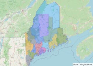
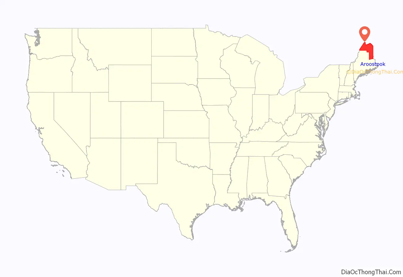
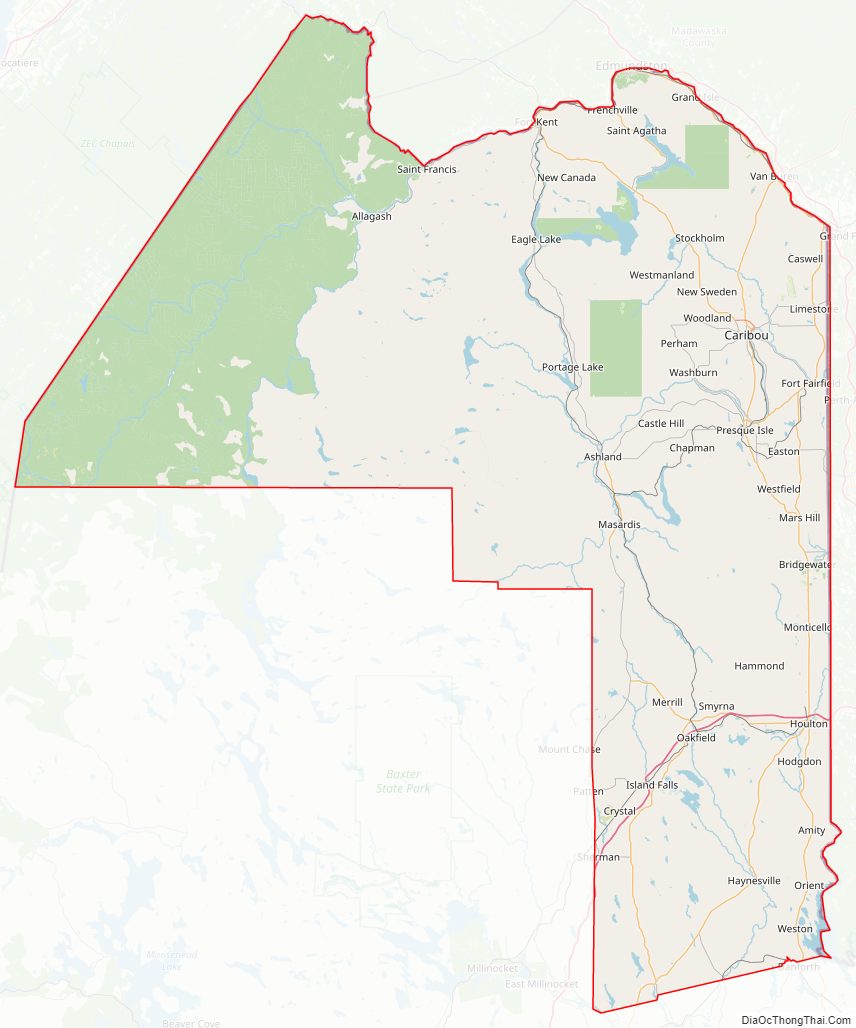
Aroostook County location map. Where is Aroostook County?
History
The sparsely populated North Maine Woods, roughly defined as the headwaters of the Saint John, Penobscot and Kennebec Rivers, was populated through the colonial era by refugees fleeing unfriendly governments. Native Americans retreating from hostile European colonists, and smugglers trading with these Native Americans and between English Massachusetts and French Acadia lived in small communities along the Atlantic coast on the disputed border between those colonies. As England dominated the Gulf of Maine following the French and Indian Wars, these occupants of the border region retreated up the large rivers into the interior joined by Acadians escaping the Acadian Expulsion. Although the survivors might have preferred to remain independent, surrounding governments dividing their refuge perceived Aroostook County as the west bank of the Saint John River drainage upstream of Canada. Under United States control, the area was initially dominated by lumber manufacturing interests, although agriculture became important as population increased. Transportation along the Saint John River and early rail connections into New Brunswick caused strong business links with Canada until the county was connected to the United States rail network by the Bangor and Aroostook Railroad in 1894. Aroostook County residents retain an independent cultural identity established during their history of isolation on the border frontier.
Aroostook County was formed in 1839 from parts of Penobscot and Washington counties. In 1843, Aroostook gained land from Penobscot County; in 1844, Aroostook again gained land from Penobscot, plus it exchanged land with Piscataquis County. In 1889, Aroostook gained slightly from Penobscot, but gave back the land in 1903 when Aroostook County gained its final form. Some of the territory in this county was part of the land dispute that led to the “Aroostook War” that would be settled by the Webster–Ashburton Treaty.
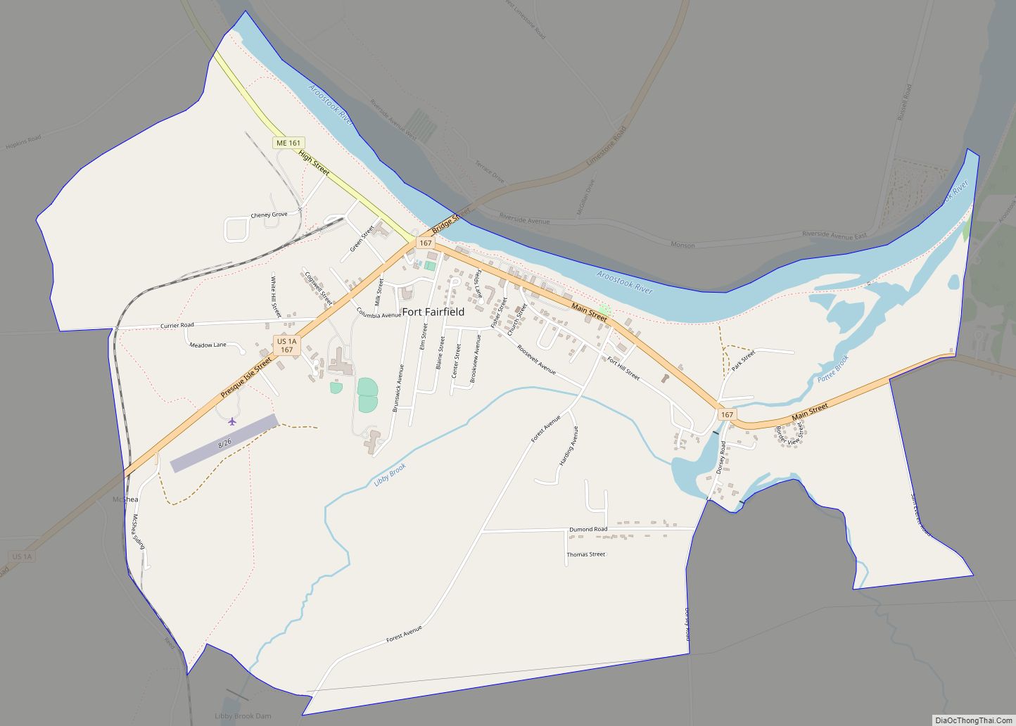
The county was also part of a route on the Underground Railroad, and was one of the last stops before entering Canada. Slaves would meet and hide just outside Aroostook or in deserted areas. Friends Quaker Church near Fort Fairfield was often a final stop.
Much of Aroostook County’s economy was dominated by military spending through the Cold War. Limestone Army Air Field was built in Limestone, Maine in 1947. It was renamed Loring Air Force Base (AFB) in 1953 as the home of the Strategic Air Command (SAC) 42d Bombardment Wing operating Convair B-36 Peacemaker bombers. Aroostook County was chosen due to its strategic location as the closest point in the Continental United States to the Middle East and Europe including the Soviet Union west of the Ural Mountains. Loring AFB could accommodate one hundred of these large bombers; and had both the largest fuel storage capacity, at 9,200,000 US gallons (35,000,000 L), and the largest weapons storage capacity, at 4700 tonnes NEW, of any SAC base. The 42d Bombardment Wing at Loring operated Boeing B-52 Stratofortress bombers until the 1991 Base Realignment and Closure Commission recommended closure and the base closed in 1994.
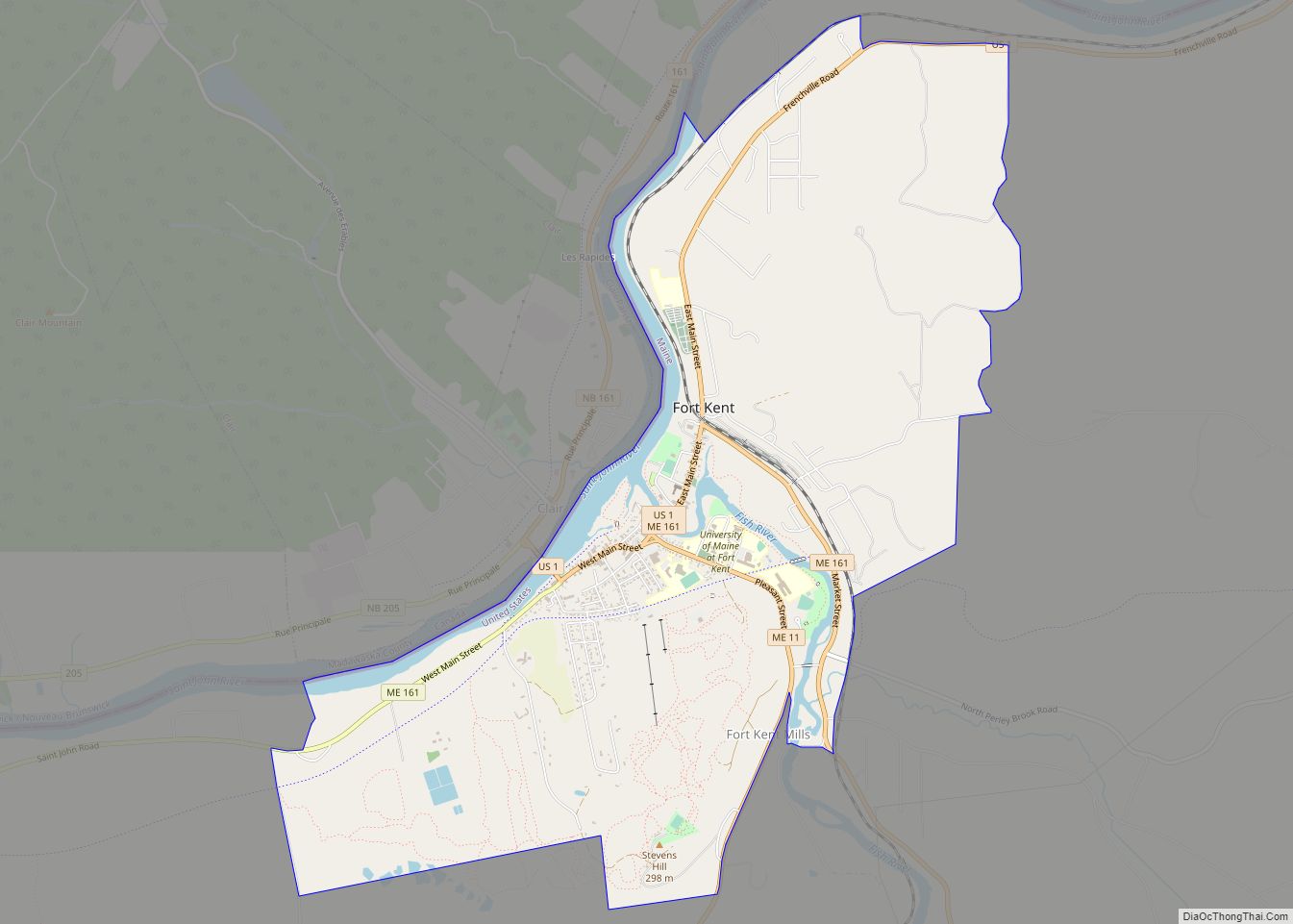
The 2014 Acadian World Congress was held along the Canada–United States border, co-hosted by Aroostook County and a number of neighboring counties in Canada (Témiscouata in Quebec, and Victoria, Madawaska and Restigouche in New Brunswick). Organizers planned a Tintamarre that was held in the town of Madawaska, Maine, as well as a giant tug of war across the Saint John River.
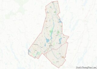
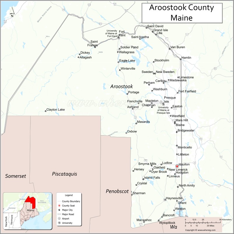
Aroostook County Road Map
Geography
According to the U.S. Census Bureau, the county has a total area of 6,828 square miles (17,680 km), of which 6,671 square miles (17,280 km) is land and 156 square miles (400 km) (2.3%) is water. Aroostook County is Maine’s largest county by area, about the size of Connecticut and Rhode Island combined. The county high point is Peaked Mountain, elevation 2,230 feet (680 m), whose western slopes are in the north east corner of Piscataquis County.
Adjacent counties and municipalities
- Washington County, Maine – southeast
- Penobscot County, Maine – south
- Piscataquis County, Maine – south
- Somerset County, Maine – southwest
- Montmagny Regional County Municipality, Quebec – west
- L’Islet Regional County Municipality, Quebec – west
- Kamouraska Regional County Municipality, Quebec – northwest
- Témiscouata Regional County Municipality, Quebec – north
- Madawaska County, New Brunswick – northeast
- Victoria County, New Brunswick – east
- Carleton County, New Brunswick – east
- York County, New Brunswick – southeast
National protected area
- Aroostook National Wildlife Refuge
- Aroostook State Park
Major highways
- I-95
- US 1
- US 1A
- US 2
- US 2A
- SR 10
- SR 11
- SR 89
- SR 161
- SR 164
- SR 171
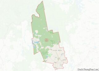
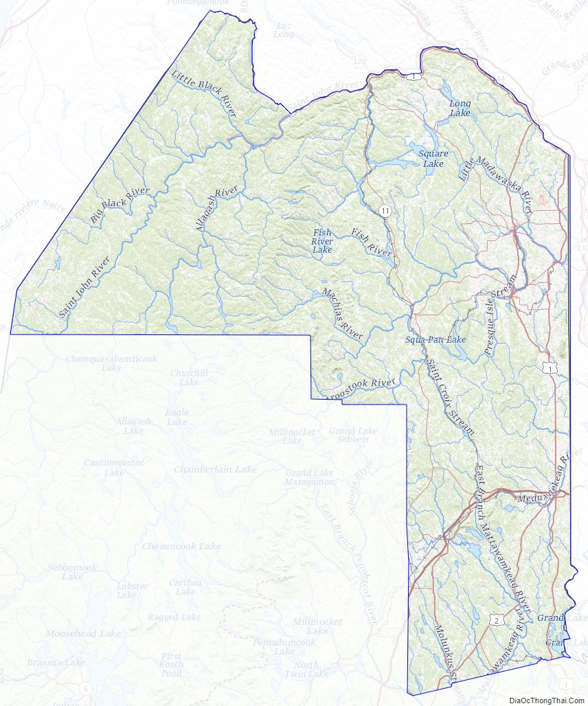
Aroostook County Topographic Map
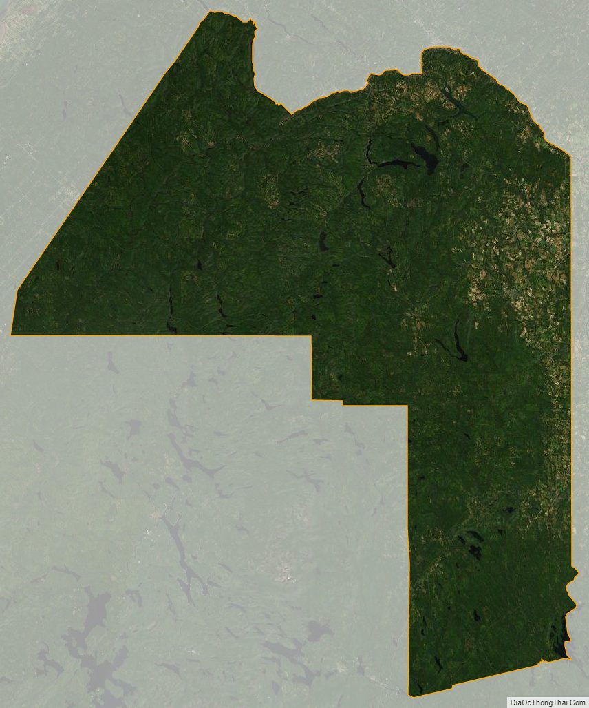
Aroostook County Satellite Map
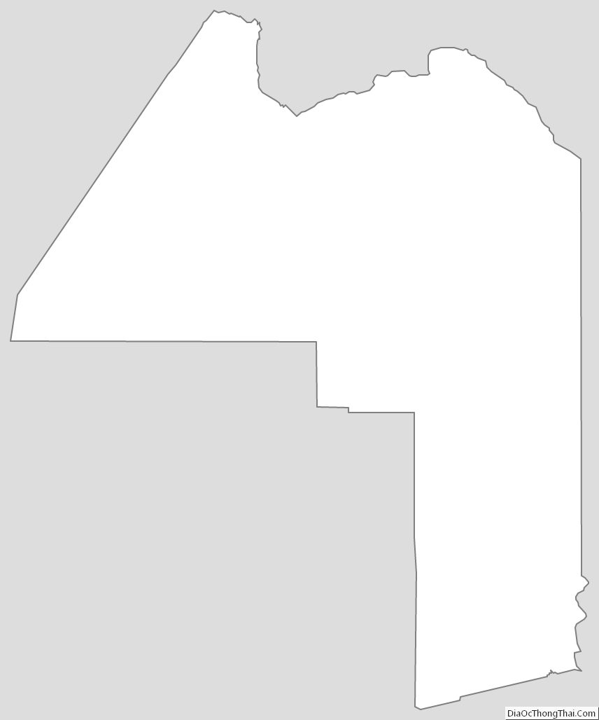
Aroostook County Outline Map