Cumberland County is a county in the U.S. state of Maine. As of the 2020 census, the population was 303,069, making it the most populous county in Maine. Its county seat is Portland. Cumberland County was founded in 1760 from a portion of York County, Province of Massachusetts Bay, and named for William, Duke of Cumberland, a son of King George II. Cumberland County has the deepest and second-largest body of water in the state, Sebago Lake, which supplies tap water to most of the county. The county is the state’s economic and industrial center, having the resources of the Port of Portland, the Maine Mall, and having corporate headquarters of major companies such as Fairchild Semiconductor, IDEXX Laboratories, Unum, and TD Bank. Cumberland County is part of the Portland–South Portland, ME Metropolitan Statistical Area.
| Name: | Cumberland County |
|---|---|
| FIPS code: | 23-005 |
| State: | Maine |
| Founded: | November 1, 1760 |
| Named for: | Prince William, Duke of Cumberland |
| Seat: | Portland |
| Largest city: | Portland |
| Total Area: | 1,217 sq mi (3,150 km²) |
| Land Area: | 835 sq mi (2,160 km²) |
| Total Population: | 303,069 |
| Population Density: | 250/sq mi (96/km²) |
| Time zone: | UTC−5 (Eastern) |
| Summer Time Zone (DST): | UTC−4 (EDT) |
| Website: | www.cumberlandcounty.org |
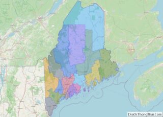
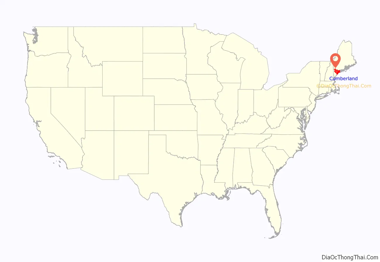
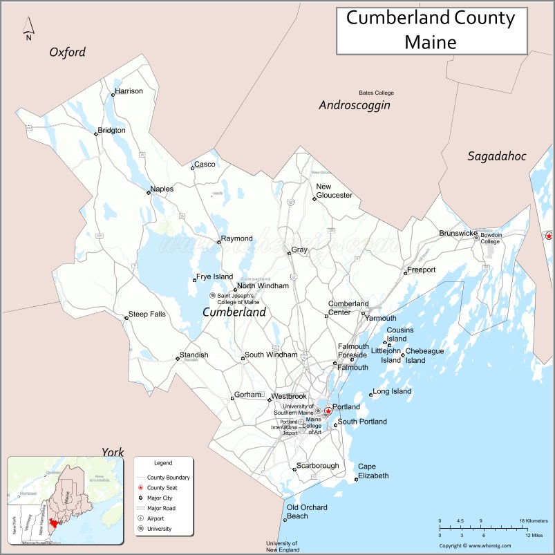
Cumberland County location map. Where is Cumberland County?
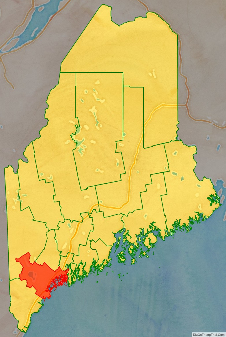
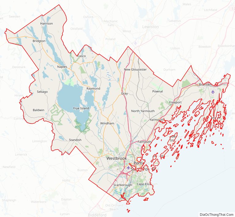
Cumberland County Road Map
Geography
According to the U.S. Census Bureau, the county has a total area of 1,217 square miles (3,150 km), of which 835 square miles (2,160 km) is land and 382 square miles (990 km) (31%) is water.
Adjacent counties
- Androscoggin County – north
- Oxford County – northwest
- Sagadahoc County – northeast
- York County – southwest
Major highways
- I-95 / Maine Turnpike
- I-295
- U.S. Route 202
- U.S. Route 302
- U.S. 1
- Maine State Route 9
- Maine State Route 77
- Maine State Route 114
National protected area
- Rachel Carson National Wildlife Refuge (part)
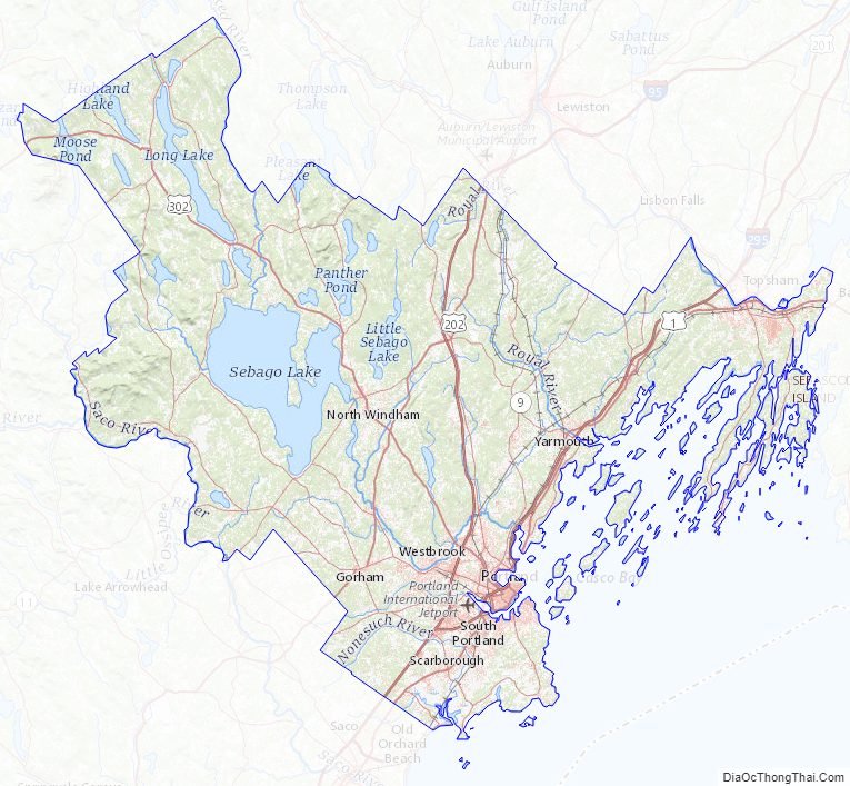
Cumberland County Topographic Map
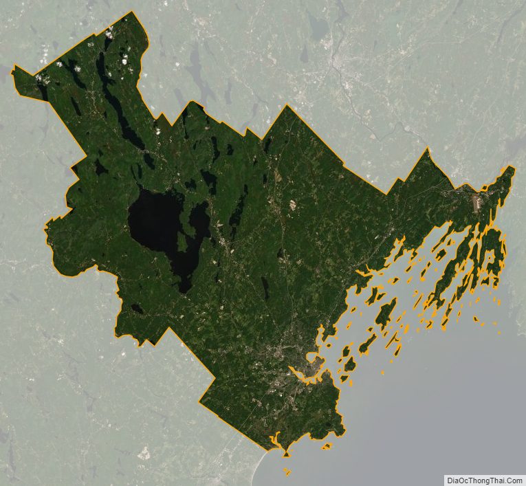
Cumberland County Satellite Map
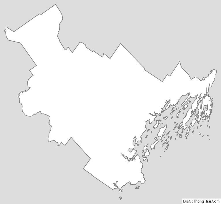
Cumberland County Outline Map