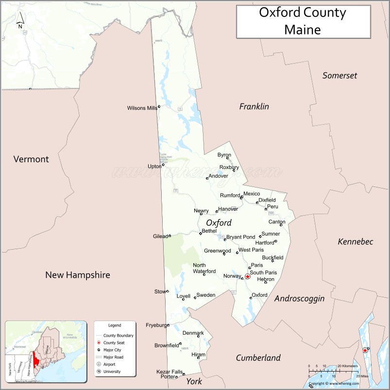
Oxford County is a county in the state of Maine, United States. As of the 2020 Census, the county had a population of 57,777. Its county seat is the town of Paris. The county was formed on March 4, 1805, by the Massachusetts General Court in the Maine District from northerly portions of York and Cumberland counties. It borders the Canadian province of Quebec. Part of Oxford County is included in the Lewiston–Auburn, Maine metropolitan New England City and Town Area while a different part of Oxford County is included in the Portland–South Portland–Biddeford, Maine metropolitan New England City and Town Area.
| Name: | Oxford County |
|---|---|
| FIPS code: | 23-017 |
| State: | Maine |
| Founded: | 1805 |
| Named for: | Oxford, Massachusetts |
| Seat: | Paris |
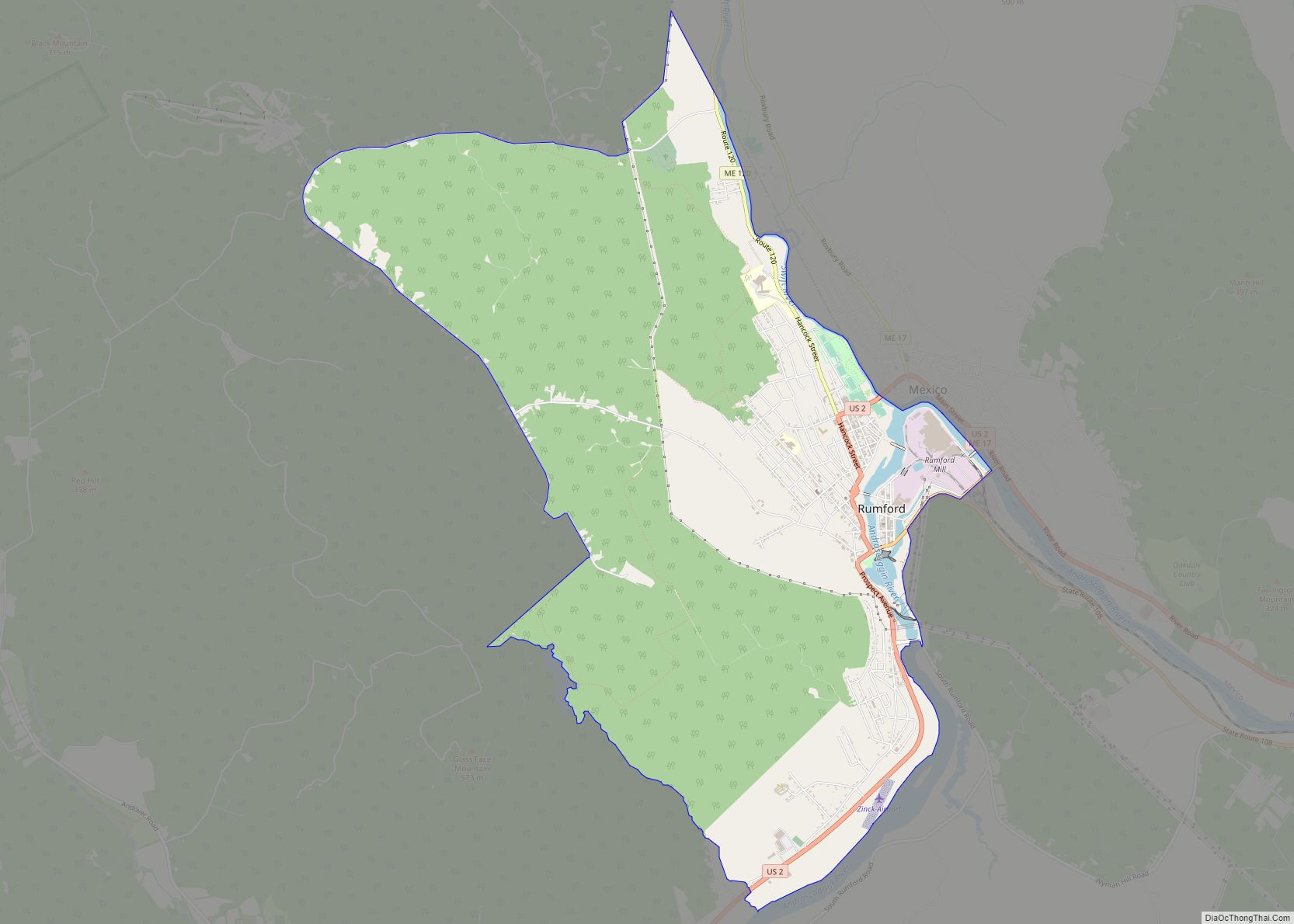
| Largest town: | Rumford |
| Total Area: | 2,176 sq mi (5,640 km²) |
| Land Area: | 2,077 sq mi (5,380 km²) |
| Total Population: | 57,777 |
| Population Density: | 27/sq mi (10/km²) |
| Time zone: | UTC−5 (Eastern) |
| Summer Time Zone (DST): | UTC−4 (EDT) |
| Website: | www.oxfordcounty.org |
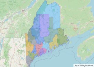
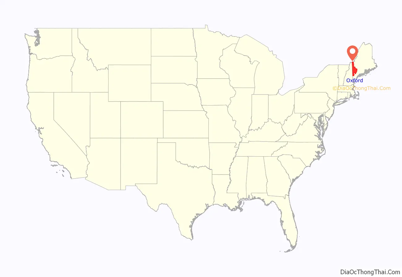
Oxford County location map. Where is Oxford County?
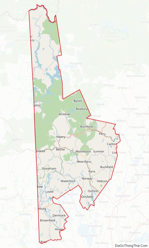
Oxford County Road Map
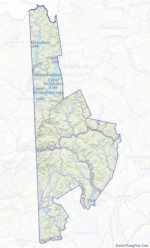
Geography
According to the U.S. Census Bureau, the county has a total area of 2,176 square miles (5,640 km), of which 2,077 square miles (5,380 km) is land and 99 square miles (260 km) (4.5%) is water.
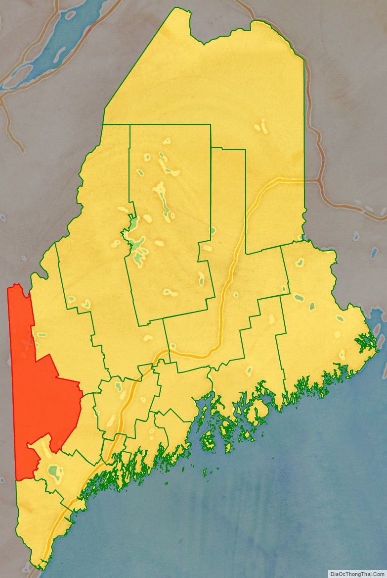
Adjacent counties and municipalities
- Franklin County – northeast
- Androscoggin County – east
- Cumberland County – southeast
- York County – south
- Carroll County, New Hampshire – southwest
- Coös County, New Hampshire – west
- Le Granit Regional County Municipality, Quebec – north
National protected areas
- Umbagog National Wildlife Refuge (part)
- White Mountain National Forest (part)
Oxford County Topographic Map
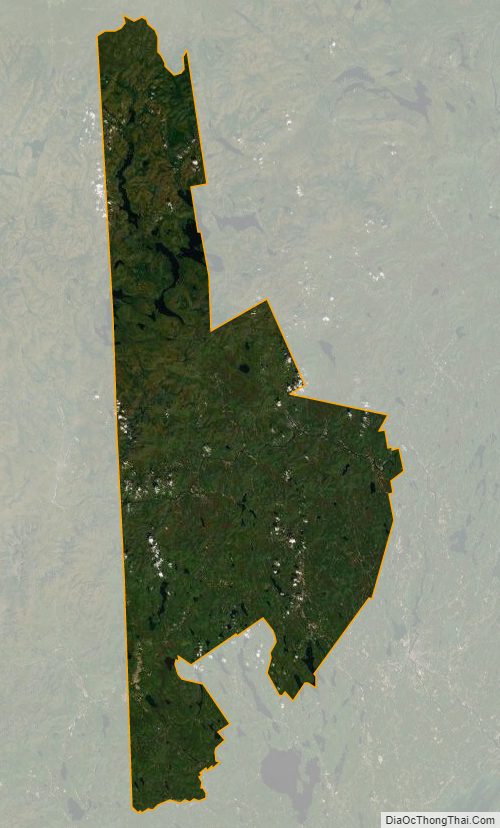
Oxford County Satellite Map
Oxford County Outline Map