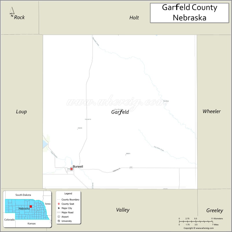
Garfield County is a county in the U.S. state of Nebraska. As of the 2010 United States Census, the population was 2,049. Its county seat is Burwell. The county was organized in 1884; it was named for James A. Garfield, 20th President of the United States.
In the Nebraska license plate system, Garfield County is represented by the prefix 83 (it had the 83rd-largest number of vehicles registered in the county when the license plate system was established in 1922).
| Name: | Garfield County |
|---|---|
| FIPS code: | 31-071 |
| State: | Nebraska |
| Founded: | 1884 |
| Named for: | James A. Garfield |
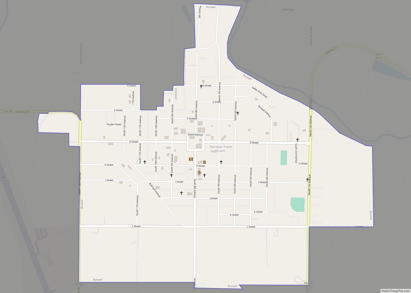
| Seat: | Burwell |
| Largest city: | Burwell |
| Total Area: | 571 sq mi (1,480 km²) |
| Land Area: | 570 sq mi (1,500 km²) |
| Total Population: | 1,839 |
| Population Density: | 3.5/sq mi (1.4/km²) |
| Time zone: | UTC−6 (Central) |
| Summer Time Zone (DST): | UTC−5 (CDT) |
| Website: | www.garfieldcounty.ne.gov |
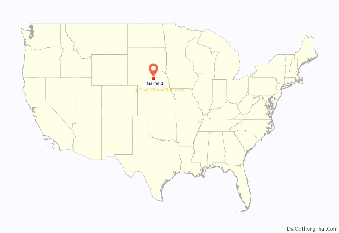
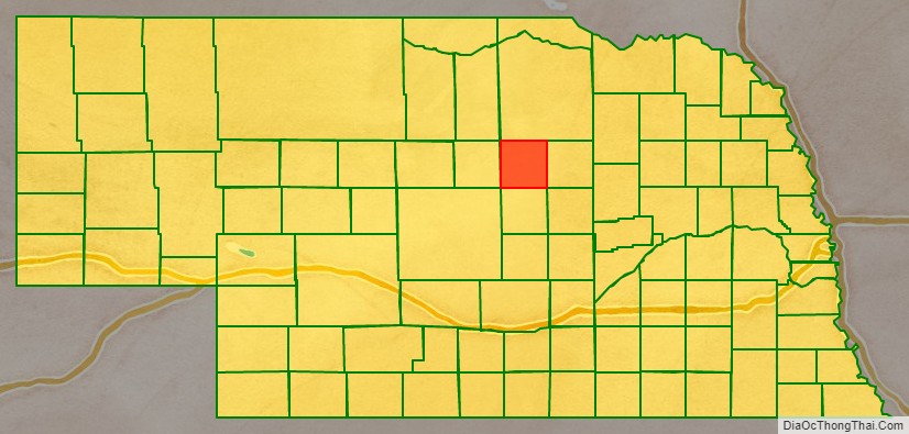
Garfield County location map. Where is Garfield County?
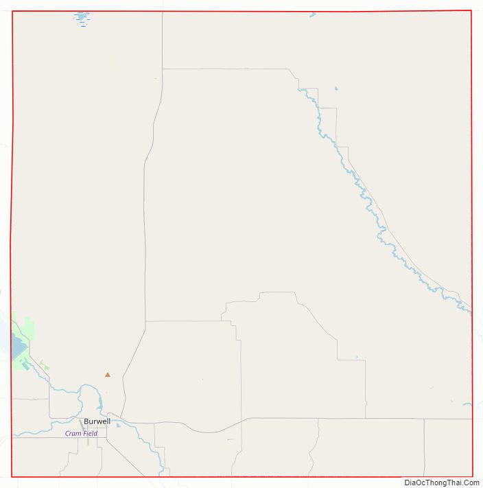
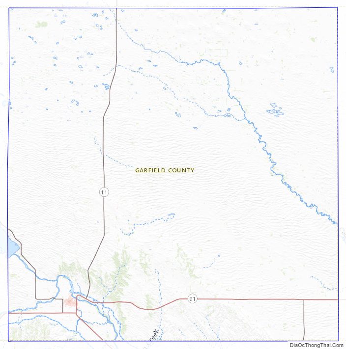
Garfield County Road Map
Geography
The North Loup River runs through the southwest corner of Garfield County.
According to the US Census Bureau, the county has an area of 571 square miles (1,480 km), of which 570 square miles (1,500 km) is land and 1.6 square miles (4.1 km) (0.3%) is water.
Major highways
- Nebraska Highway 11
- Nebraska Highway 70
- Nebraska Highway 91
- Nebraska Highway 96
Adjacent counties
- Wheeler County – east
- Valley County – south
- Custer County – southwest
- Loup County – west
- Holt County – north
Protected areas
- Calamus Reservoir State Park (partial)
- Mirdan Canal State Wildlife Management Area
Garfield County Topographic Map
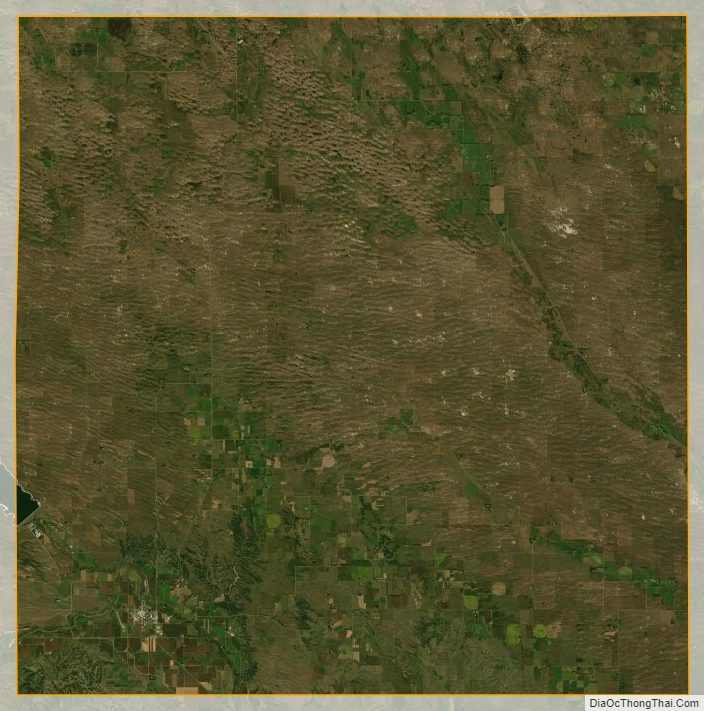
Garfield County Satellite Map
Garfield County Outline Map