Crawford County is a county located in the north central portion of the U.S. state of Ohio. As of the 2020 census, the population was 42,025. Its county seat and largest city is Bucyrus. The county was created in 1820 and later organized in 1836. It was named for Colonel William Crawford, a soldier during the American Revolution.
Crawford County comprises the Bucyrus, OH Micropolitan Statistical Area, which is also included in the Mansfield–Ashland-Bucyrus, OH Combined Statistical Area.
| Name: | Crawford County |
|---|---|
| FIPS code: | 39-033 |
| State: | Ohio |
| Founded: | April 1, 1826 |
| Named for: | Colonel William Crawford |
| Seat: | Bucyrus |
| Largest city: | Bucyrus |
| Total Area: | 403 sq mi (1,040 km²) |
| Land Area: | 402 sq mi (1,040 km²) |
| Total Population: | 42,025 |
| Population Density: | 100/sq mi (40/km²) |
| Time zone: | UTC−5 (Eastern) |
| Summer Time Zone (DST): | UTC−4 (EDT) |
| Website: | www.crawford-co.org |
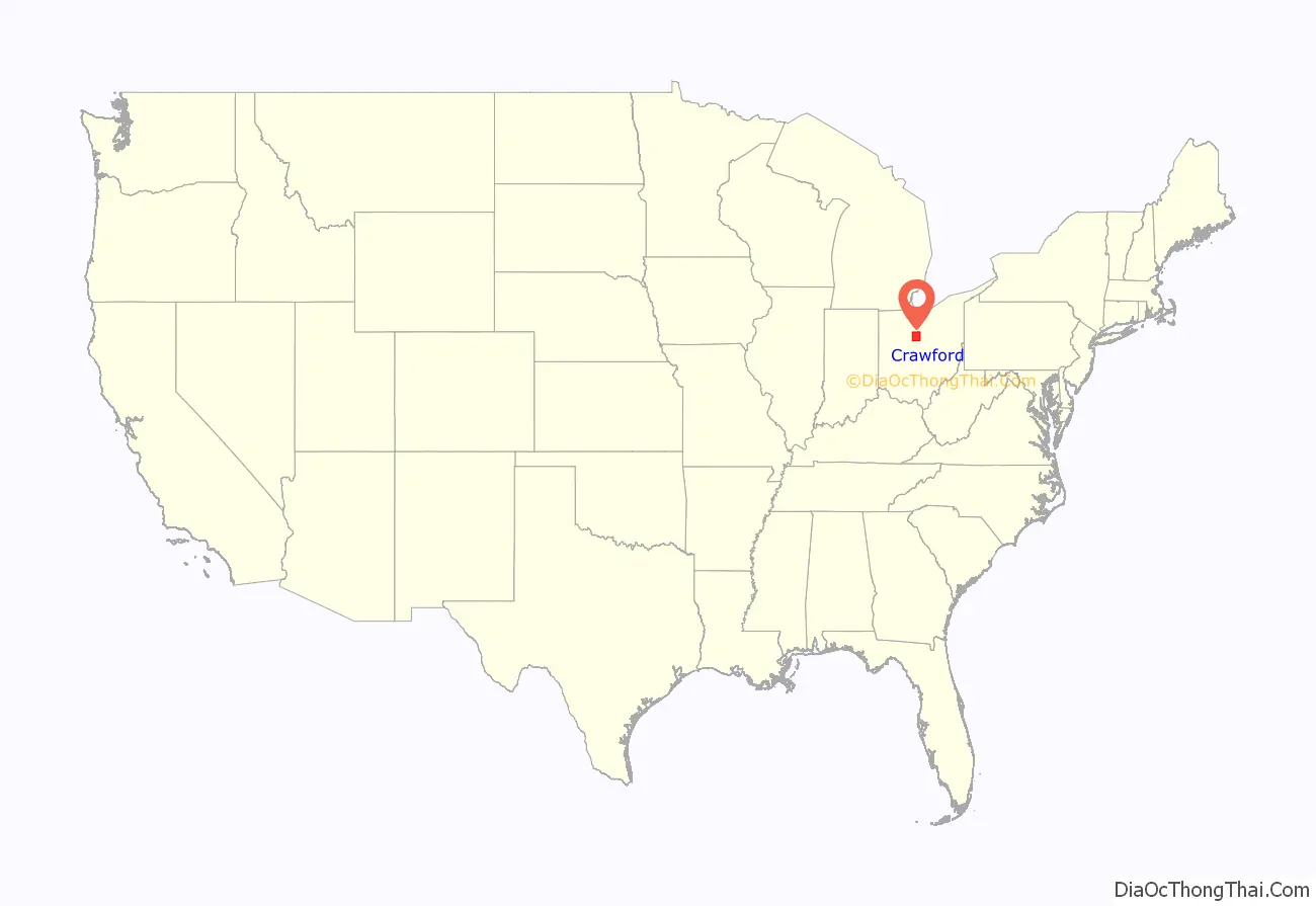
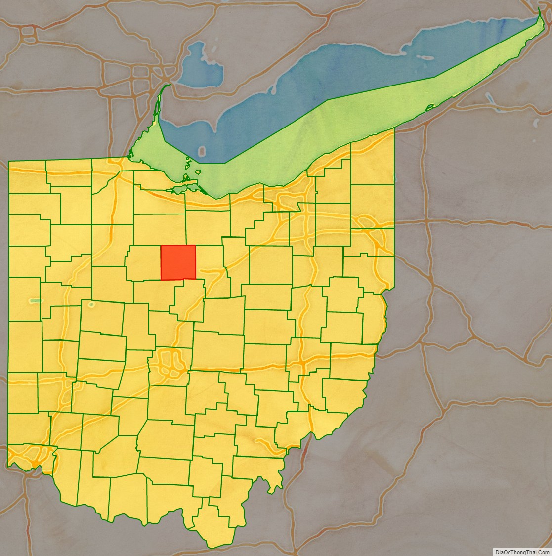
Crawford County location map. Where is Crawford County?
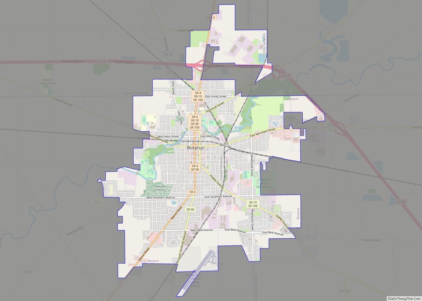
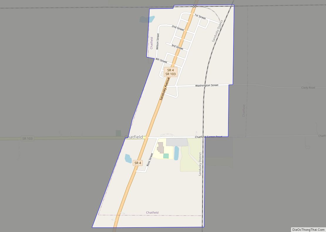
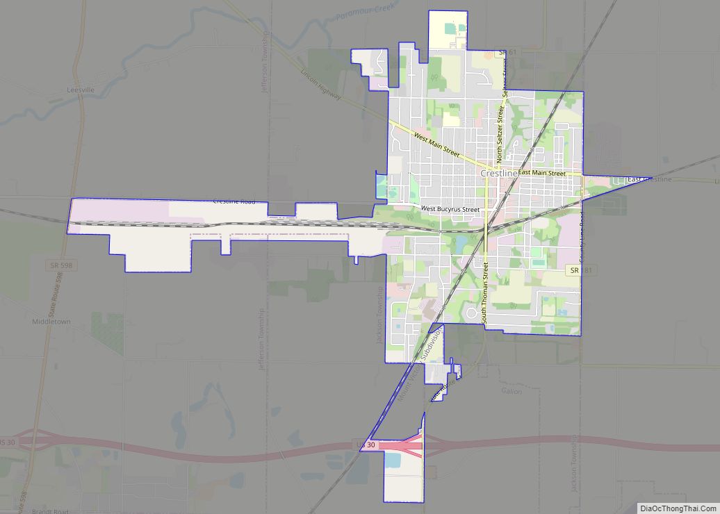
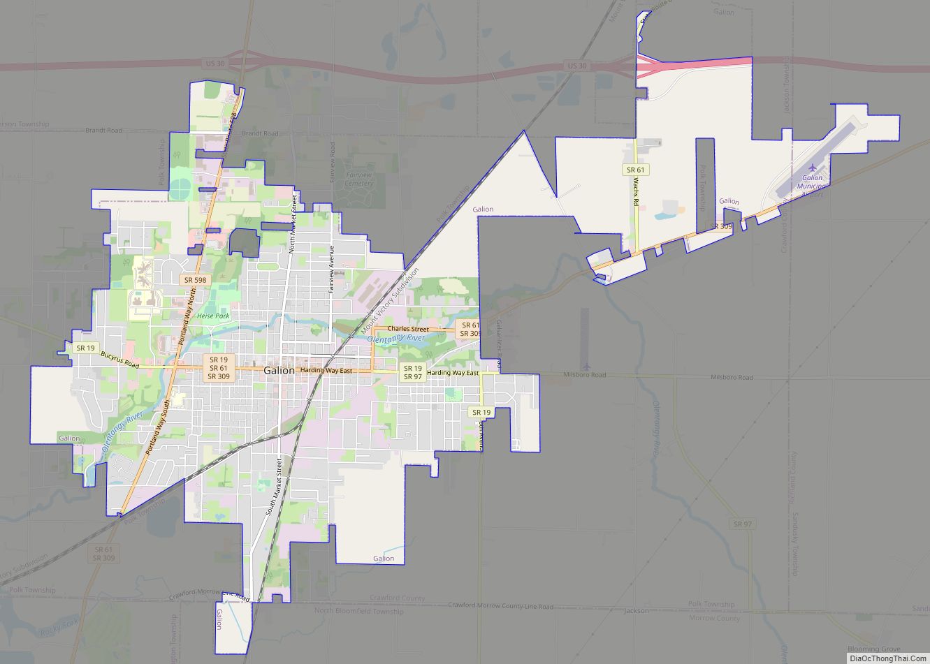
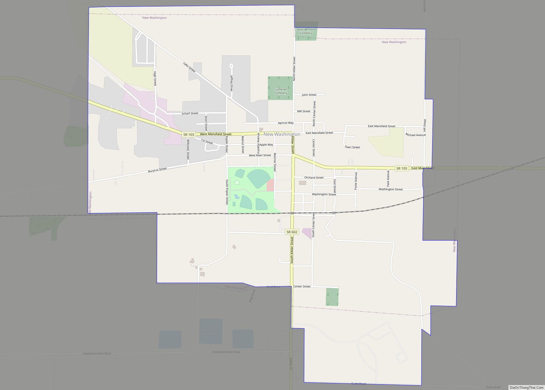
Crawford County Road Map
Geography
According to the U.S. Census Bureau, the county has a total area of 403 square miles (1,040 km), of which 402 square miles (1,040 km) is land and 0.9 square miles (2.3 km) (0.2%) is water. It is the fourth-smallest county in Ohio by total area.
The county is drained by the Sandusky and Olentangy Rivers.
Adjacent counties
- Seneca County (north)
- Huron County (northeast)
- Richland County (east)
- Morrow County (southeast)
- Marion County (southwest)
- Wyandot County (west)
