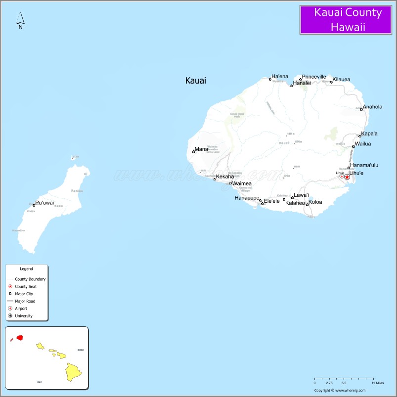
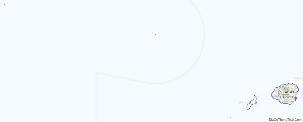
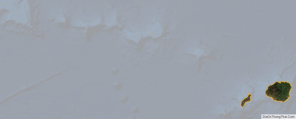
Kauaʻi County (Hawaiian: Kalana o Kauaʻi) (officially known as the County of Kauaʻi) is a county in the U.S. state of Hawaiʻi. It consists of the islands of Kauaʻi, Niʻihau, Lehua, and Kaʻula. As of the 2020 Census the population was 73,298. The county seat is Līhuʻe.
The Kapa’a Micropolitan Statistical Area includes all of Kauai County.
| Name: | Kauai County |
|---|---|
| FIPS code: | 15-007 |
| State: | Hawaii |
| Founded: | 1905 |
| Seat: | Lihue |
| Total Area: | 1,266 sq mi (3,280 km²) |
| Land Area: | 620 sq mi (1,600 km²) |
| Total Population: | 73,454 |
| Population Density: | 118/sq mi (46/km²) |
| Time zone: | UTC−10 (Hawaii–Aleutian) |
| Summer Time Zone (DST): | HADT |
| Website: | www.kauai.gov |
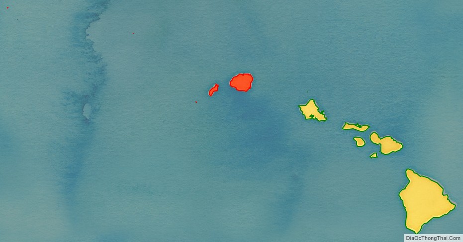
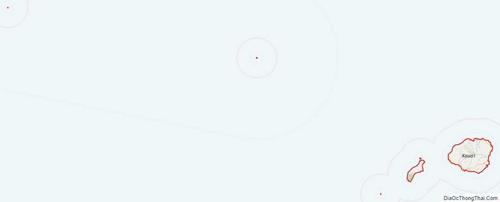
Kauai County location map. Where is Kauai County?
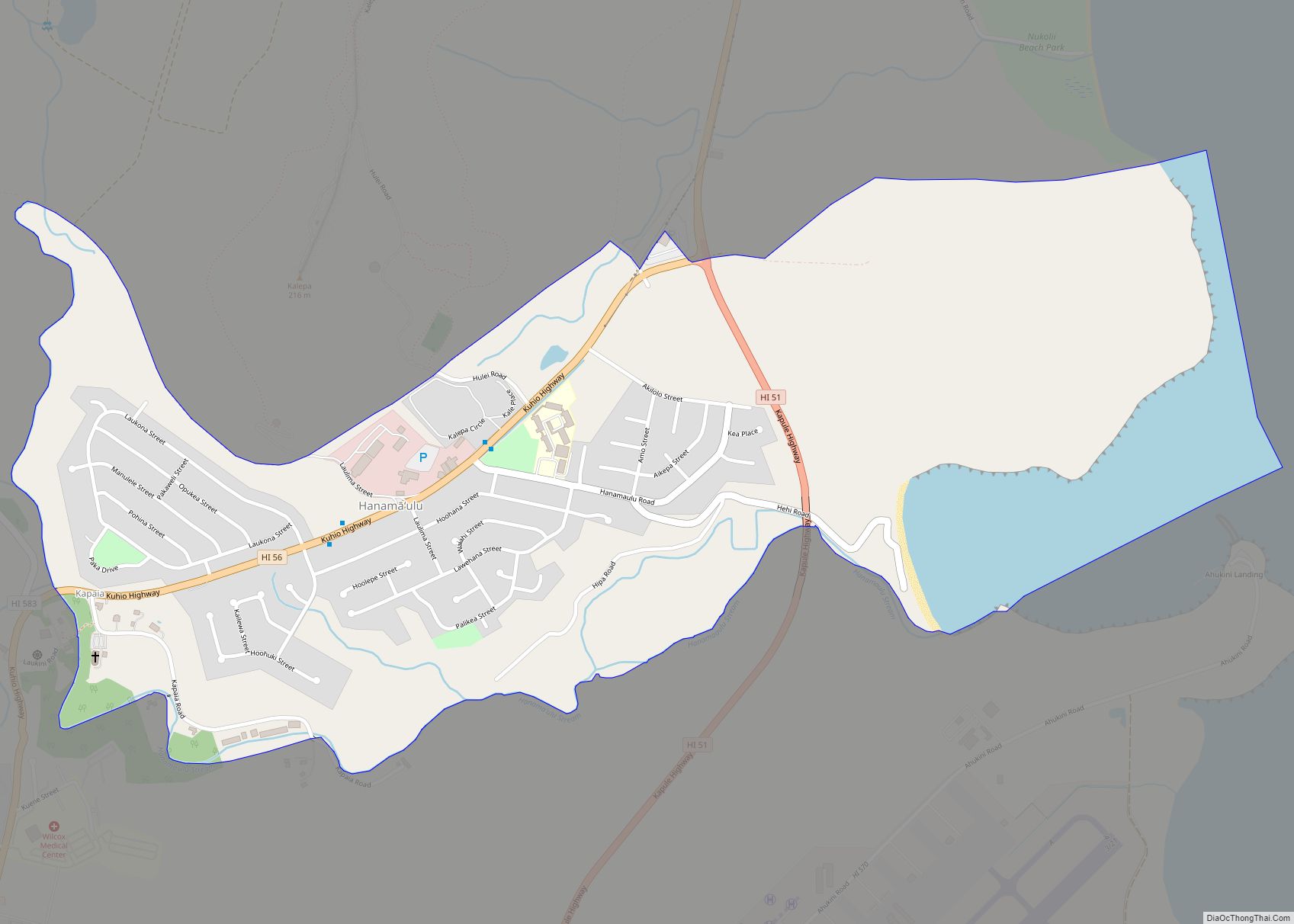
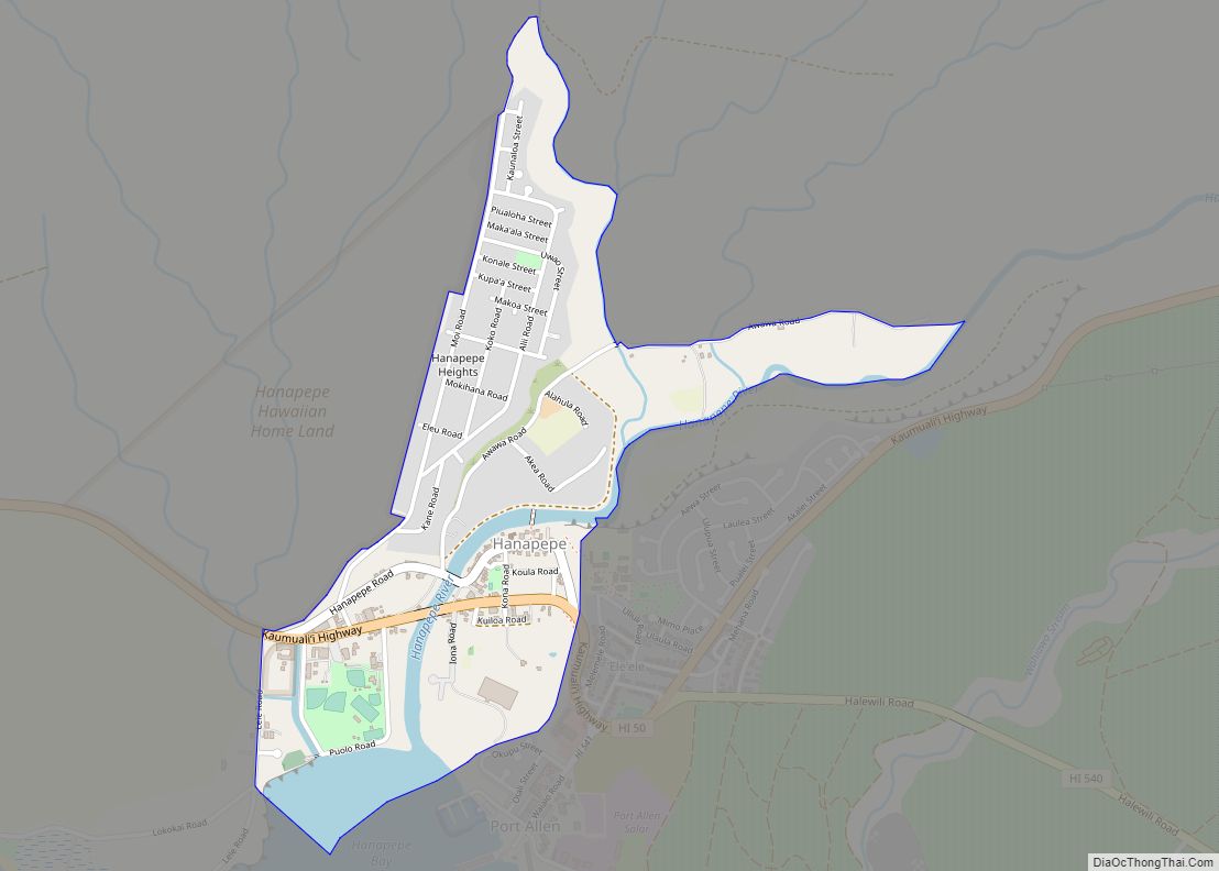
Kauai County Road Map
Geography
According to the U.S. Census Bureau, the county has a total area of 1,266 square miles (3,280 km), of which 620 square miles (1,600 km) is land and 646 square miles (1,670 km) (51.0%) is water. The Pacific Ocean surrounds the county.
Adjacent entities
- Honolulu County, Hawaii – southeast
- Midway Atoll – northwest
National protected areas
- Hanalei National Wildlife Refuge
- Huleia National Wildlife Refuge
- Kilauea Point National Wildlife Refuge
Kauai County Topographic Map
Kauai County Satellite Map
Kauai County Outline Map