Kimball County is a county in the U.S. state of Nebraska. As of the 2010 United States Census, the population was 3,821. Its county seat is Kimball. The county was formed in 1888 and named after railroad pioneer Thomas Lord Kimball.
In the Nebraska license plate system, Kimball County is represented by the prefix 71 (it was the county having the seventy-first-largest number of vehicles registered in the state when the license plate system was established in 1922).
| Name: | Kimball County |
|---|---|
| FIPS code: | 31-105 |
| State: | Nebraska |
| Founded: | 1888 |
| Seat: | Kimball |
| Largest city: | Kimball |
| Total Area: | 952 sq mi (2,470 km²) |
| Land Area: | 952 sq mi (2,470 km²) |
| Total Population: | 3,412 |
| Population Density: | 3.8/sq mi (1.5/km²) |
| Time zone: | UTC−7 (Mountain) |
| Summer Time Zone (DST): | UTC−6 (MDT) |
| Website: | www.co.kimball.ne.us |
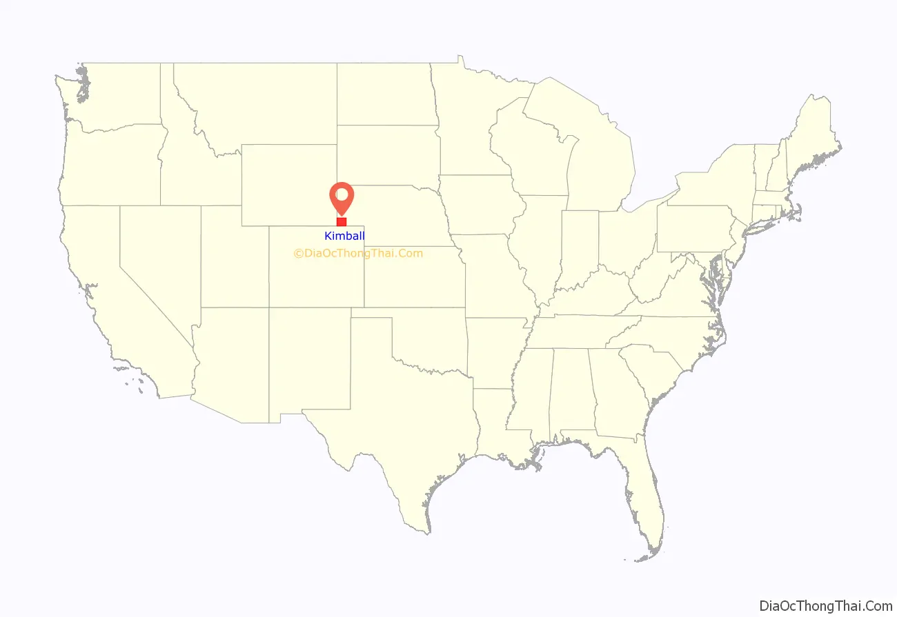
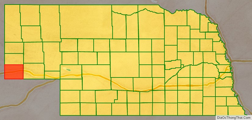
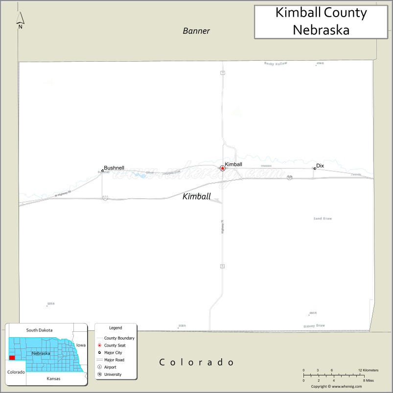
Kimball County location map. Where is Kimball County?
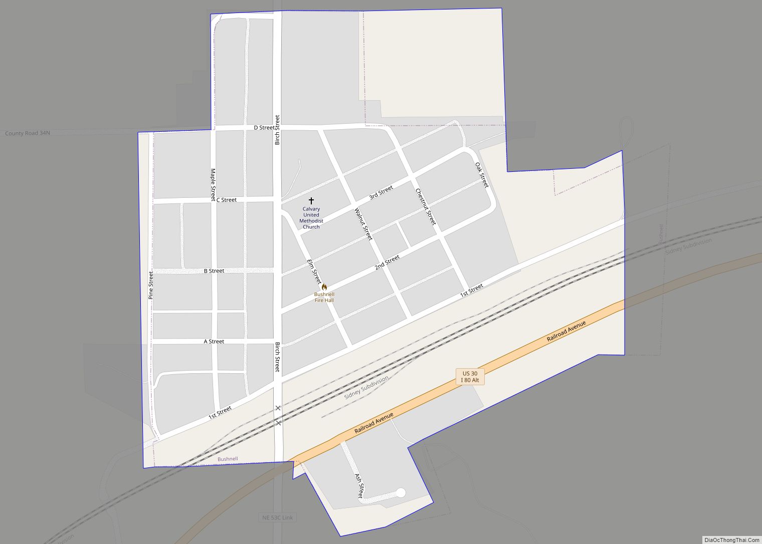
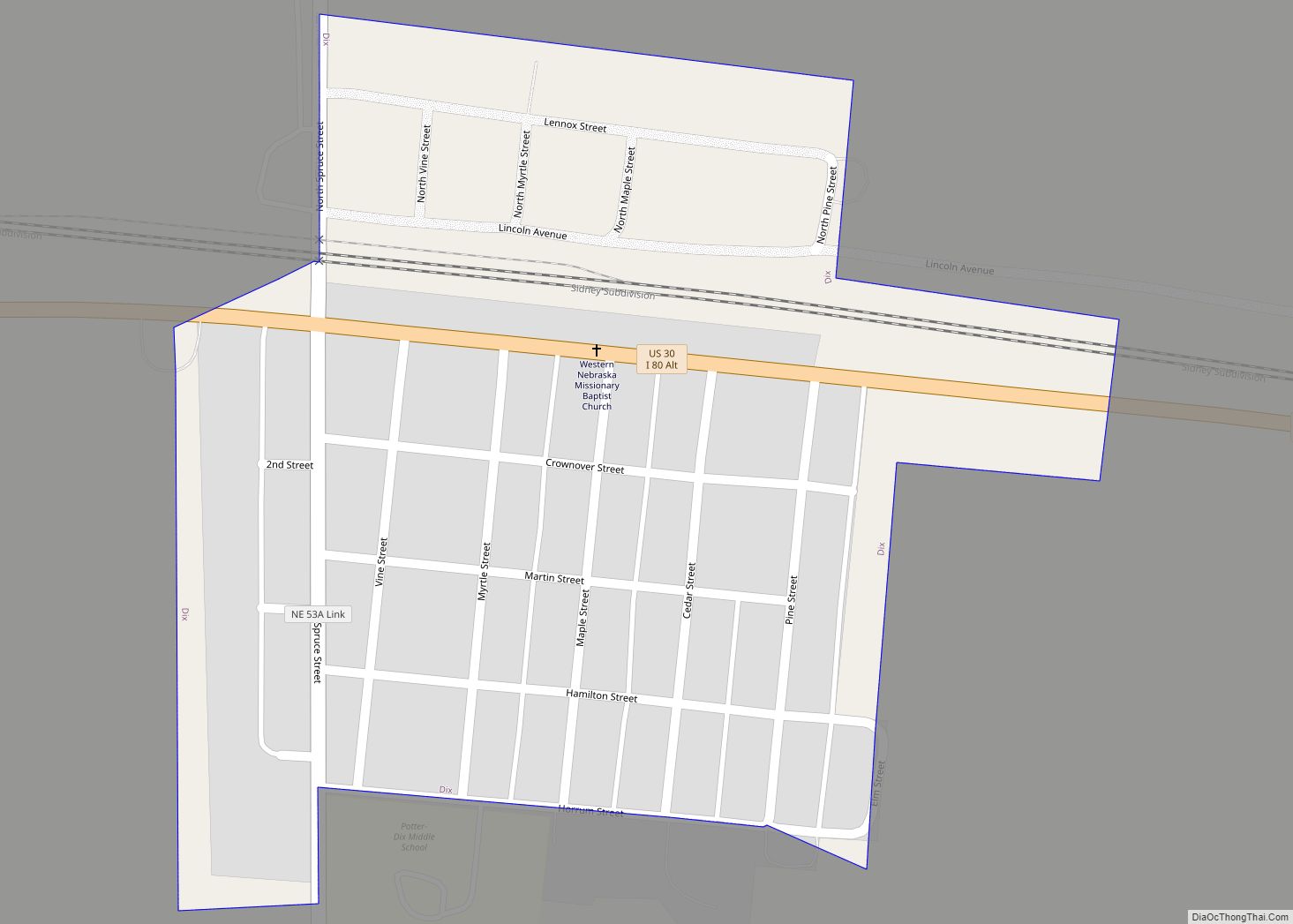
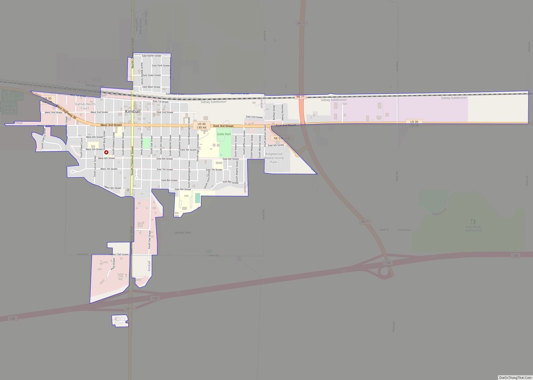
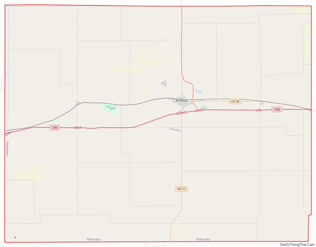
Kimball County Road Map
Geography
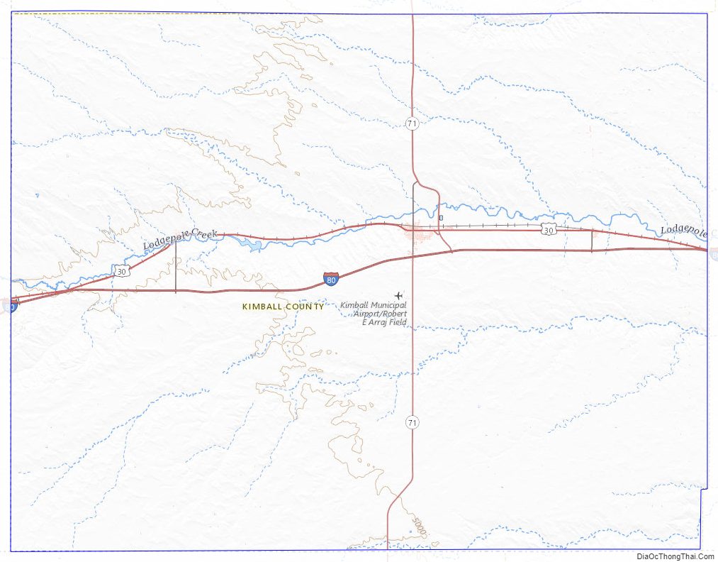
The terrain of Kimball County consists of rolling hills sloping to the east. The flatter portions are mainly used for agriculture, mostly dry farming with a modest amount of center pivot irrigation. A small drainage, Lodgepole Creek, feeds into the Oliver Reservoir, in the western central part of the county. The county has a total area of 952 square miles (2,470 km), of which 952 square miles (2,470 km) is land and 0.6 square miles (1.6 km) (0.06%) is water. The highest natural point in Nebraska, Panorama Point at 5,424 feet (1,653 m), is located in Kimball County.
The FIPS code of Kimball county is 31105.
Major highways
- Interstate 80
- U.S. Highway 30
- Nebraska Highway 71
Adjacent counties
- Banner County – north
- Cheyenne County – east
- Logan County, Colorado – southeast
- Weld County, Colorado – southwest
- Laramie County, Wyoming – west
Protected areas
- Oliver Reservoir State Recreation Area
Kimball County Topographic Map
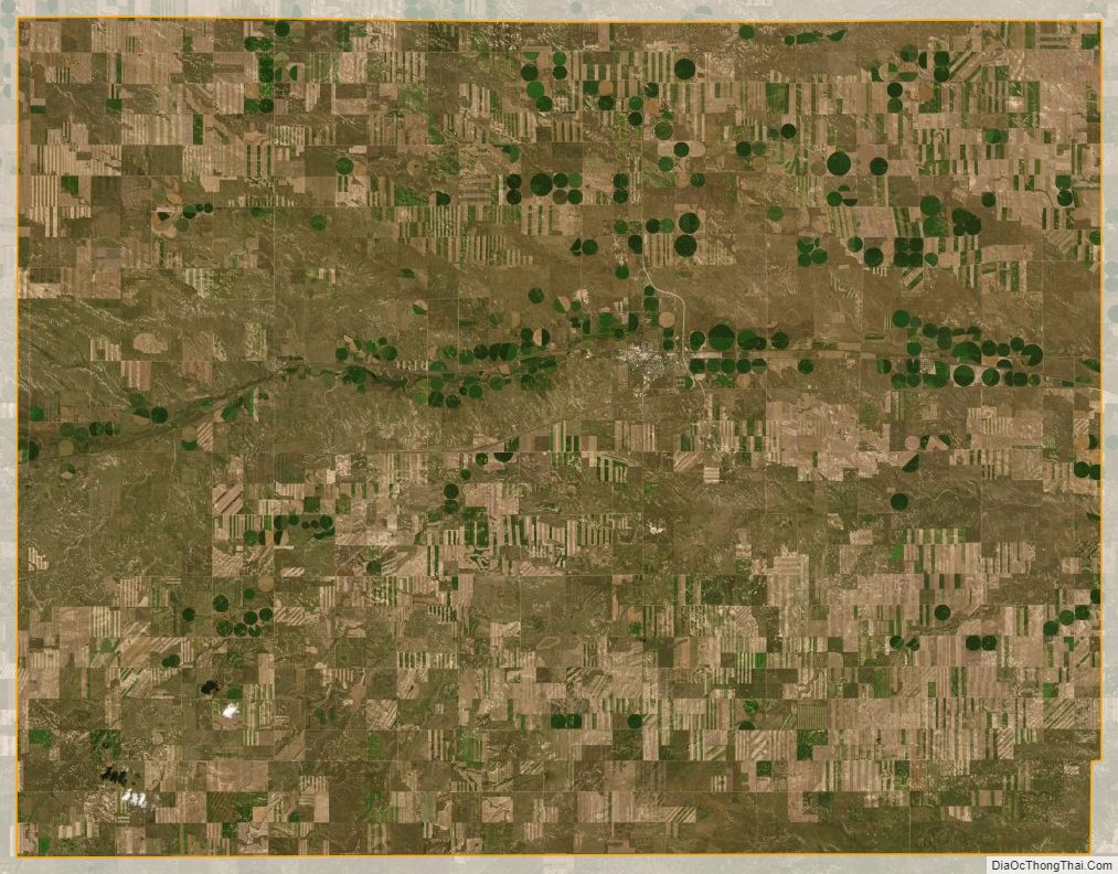
Kimball County Satellite Map
Kimball County Outline Map