Klickitat County is a county located in the U.S. state of Washington. As of the 2020 census, the population was 22,735. The county seat and largest city is Goldendale. The county is named after the Klickitat tribe.
| Name: | Klickitat County |
|---|---|
| FIPS code: | 53-039 |
| State: | Washington |
| Founded: | December 20, 1859 |
| Named for: | Klickitat Tribe |
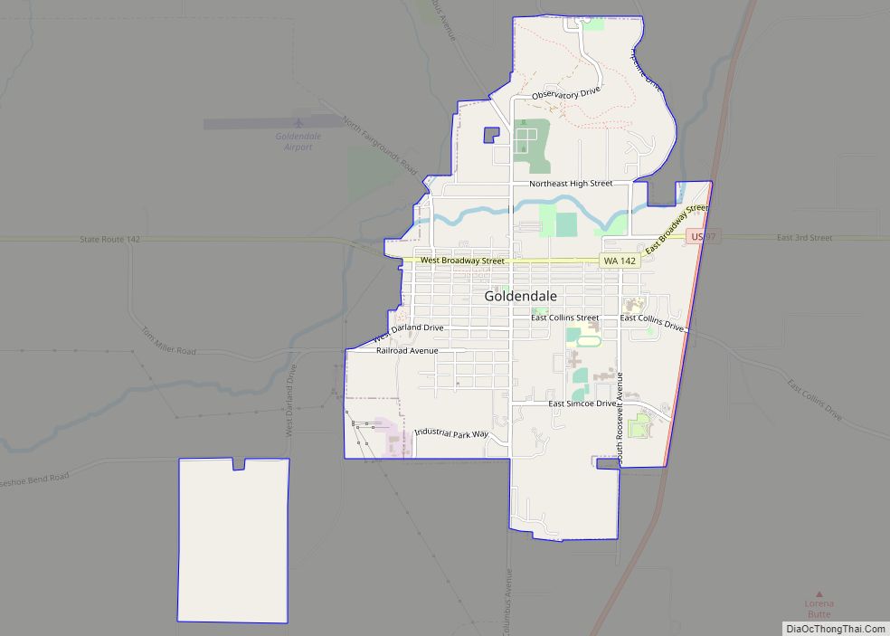
| Seat: | Goldendale |
| Largest city: | Goldendale |
| Total Area: | 1,904 sq mi (4,930 km²) |
| Land Area: | 1,871 sq mi (4,850 km²) |
| Total Population: | 22,735 |
| Population Density: | 11.6/sq mi (4.5/km²) |
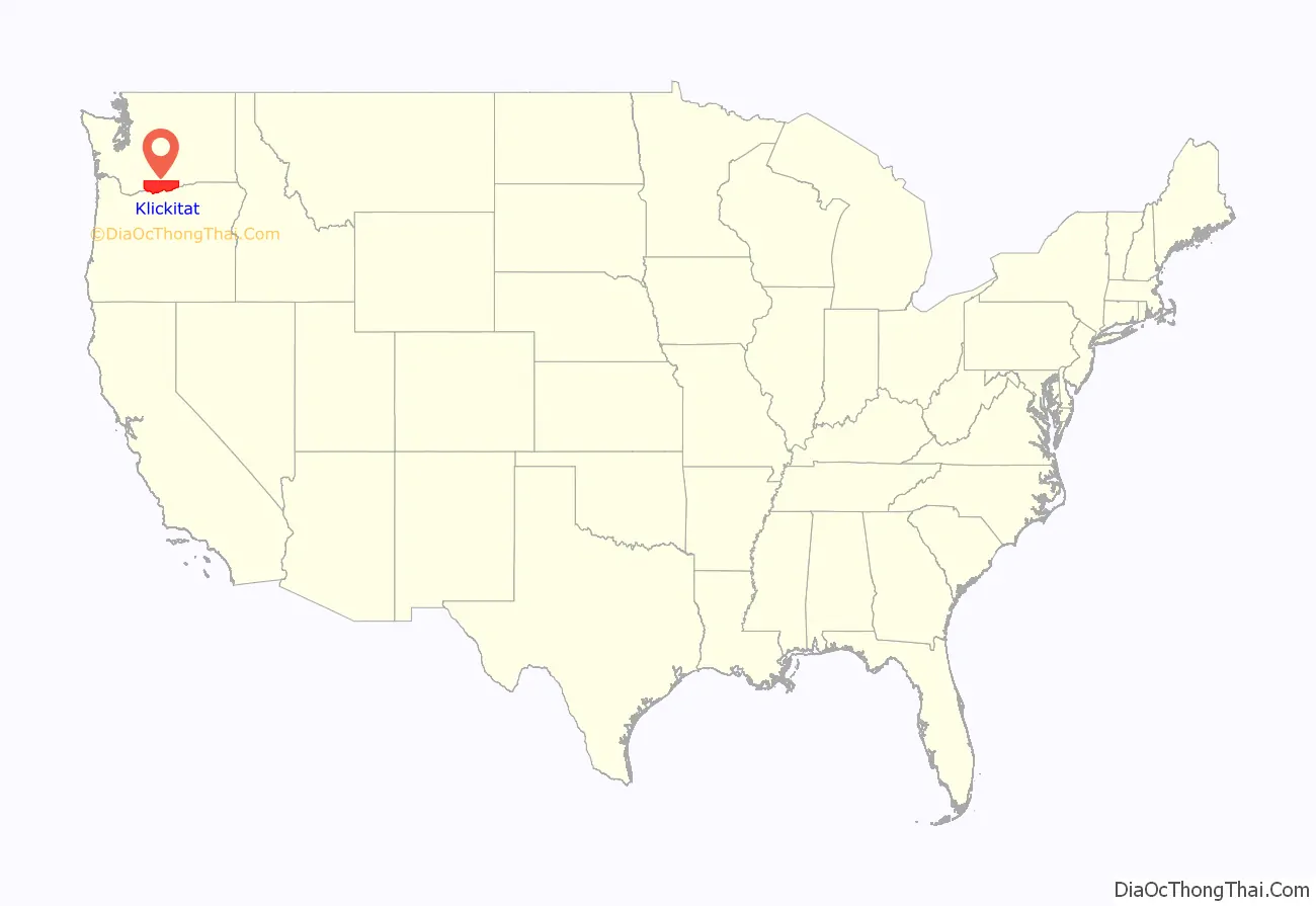
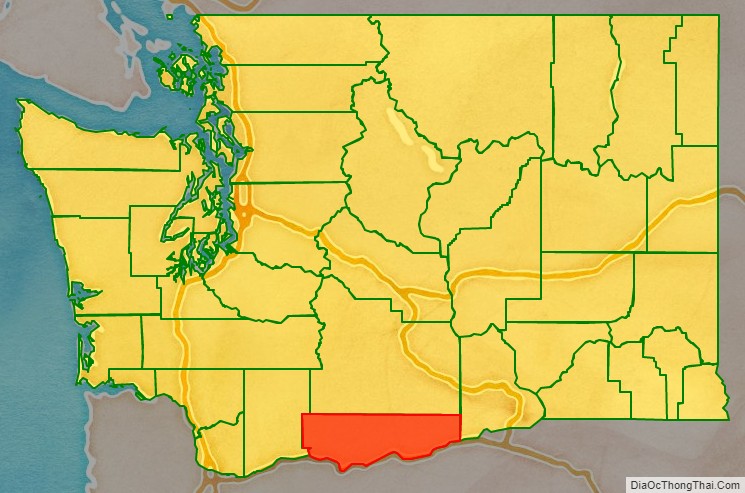
Klickitat County location map. Where is Klickitat County?
History
Klickitat County was created out of Walla Walla County on December 20, 1859. Samuel Hill was an early promoter of the area, promoting better roads and building local landmarks such as a war memorial replica of Stonehenge (Maryhill Stonehenge) and a mansion that would become the Maryhill Museum of Art. The Sam Hill Memorial Bridge across the Columbia River is named after him.
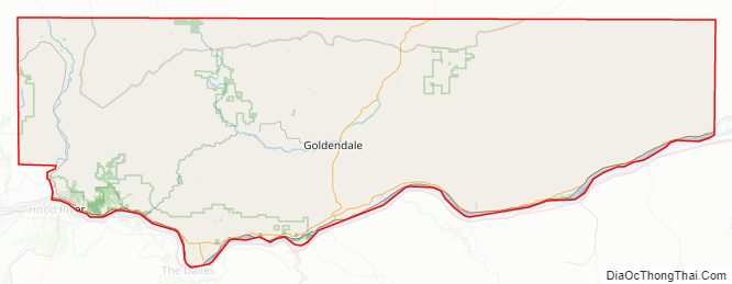
Klickitat County Road Map
Geography
According to the United States Census Bureau, the county has a total area of 1,904 square miles (4,930 km), of which 1,871 square miles (4,850 km) is land and 33 square miles (85 km) (1.7%) is water.
Geographic features
- Cascade Mountains
- Columbia River
Major highways
- U.S. Route 97
- State Route 14
- State Route 141
- State Route 142
Adjacent counties
- Yakima County – north
- Benton County – northeast
- Morrow County, Oregon – southeast
- Gilliam County, Oregon – southeast
- Sherman County, Oregon – south
- Hood River County, Oregon – southwest
- Wasco County, Oregon – southwest
- Skamania County – west
National protected areas
- Conboy Lake National Wildlife Refuge
- Gifford Pinchot National Forest (part)
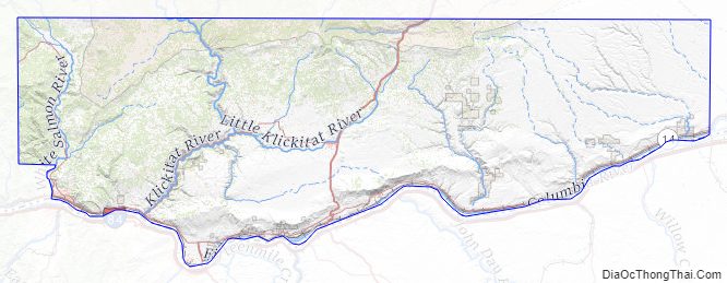
Klickitat County Topographic Map
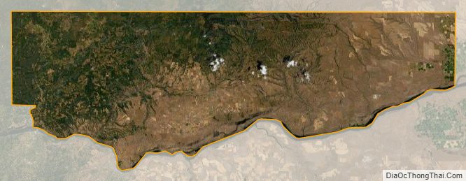
Klickitat County Satellite Map
Klickitat County Outline Map