Hood River County is one of the 36 counties in the U.S. state of Oregon. As of the 2020 census, the population was 23,977. The county seat is Hood River. The county was established in 1908 and is named for the Hood River, a tributary of the Columbia River. Hood River County comprises the Hood River, OR Micropolitan Statistical Area. The Hood River Valley produces apples, pears, and cherries. Situated between Mount Hood and the Columbia River in the middle of the Columbia River Gorge, Hood River County is a popular destination for outdoor enthusiasts, such as windsurfers, mountain-bikers, skiers, hikers, kayakers, and many more.
| Name: | Hood River County |
|---|---|
| FIPS code: | 41-027 |
| State: | Oregon |
| Founded: | June 23, 1908 |
| Named for: | Hood River |
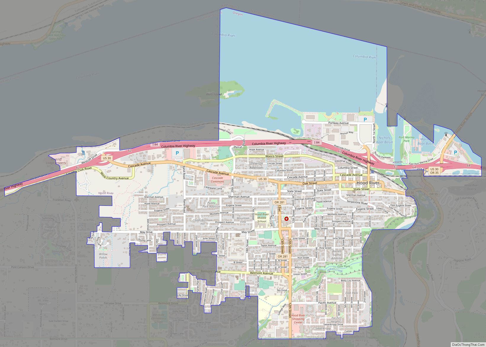
| Seat: | Hood River |
| Largest city: | Hood River |
| Total Area: | 533 sq mi (1,380 km²) |
| Land Area: | 522 sq mi (1,350 km²) |
| Total Population: | 23,977 |
| Population Density: | 43/sq mi (17/km²) |
| Time zone: | UTC−8 (Pacific) |
| Summer Time Zone (DST): | UTC−7 (PDT) |
| Website: | hoodrivercounty.gov |
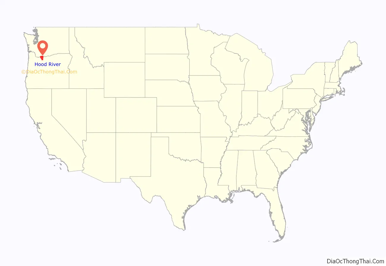
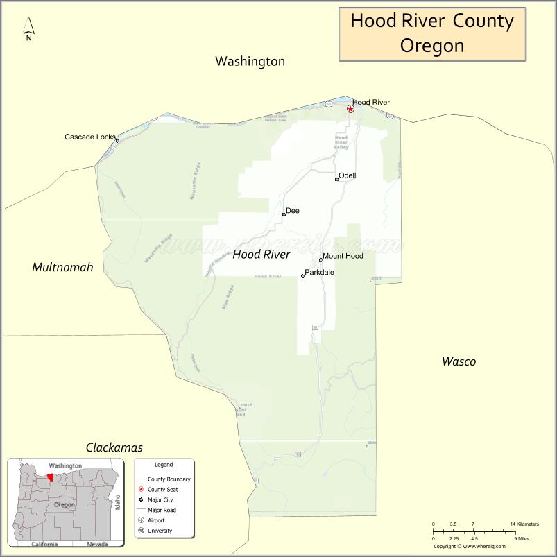
Hood River County location map. Where is Hood River County?
History
The first permanent settlers in present-day Hood River County filed a donation land claim in 1854. The first school was built in 1863 and a road from The Dalles was completed in 1867. By 1880 there were 17 families living in the valley. By the latter part of the nineteenth century farmers of Japanese, Finnish, German, and French ethnicity had settled in the valley.
At the turn of the twentieth century, the people of the Hood River region in the northwest portion of Wasco County expressed a desire for political separation from the parent county. The passage of a statewide initiative established Hood River as the thirty-fourth county of the state. It was made official by a governor’s proclamation on June 23, 1908. The Columbia River Highway was completed in 1922 from Portland to The Dalles, improving access between both those cities as well as to Hood River.
In response to controversy surrounding county approval of locating a destination resort at Cooper Spur ski area on Mount Hood, on November 5, 2003 62% of the voters approved a measure requiring voter approval on residential developments of 25 units or more on land zoned for forest use. Opponents claimed that this measure was not enforceable and would end up in court.
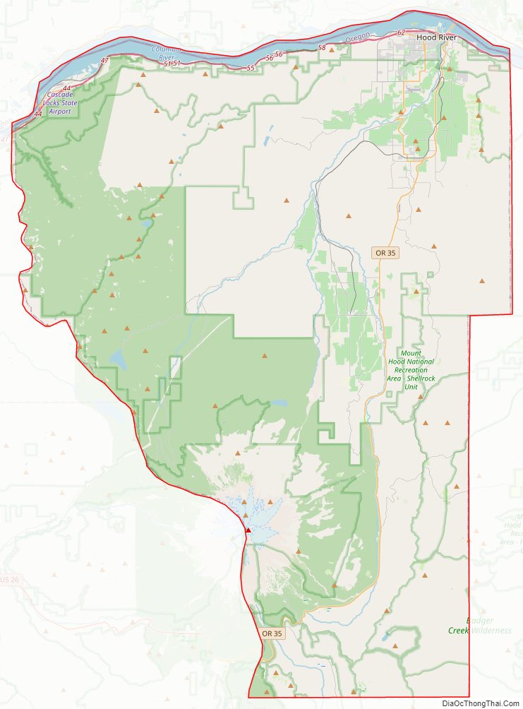
Hood River County Road Map
Geography
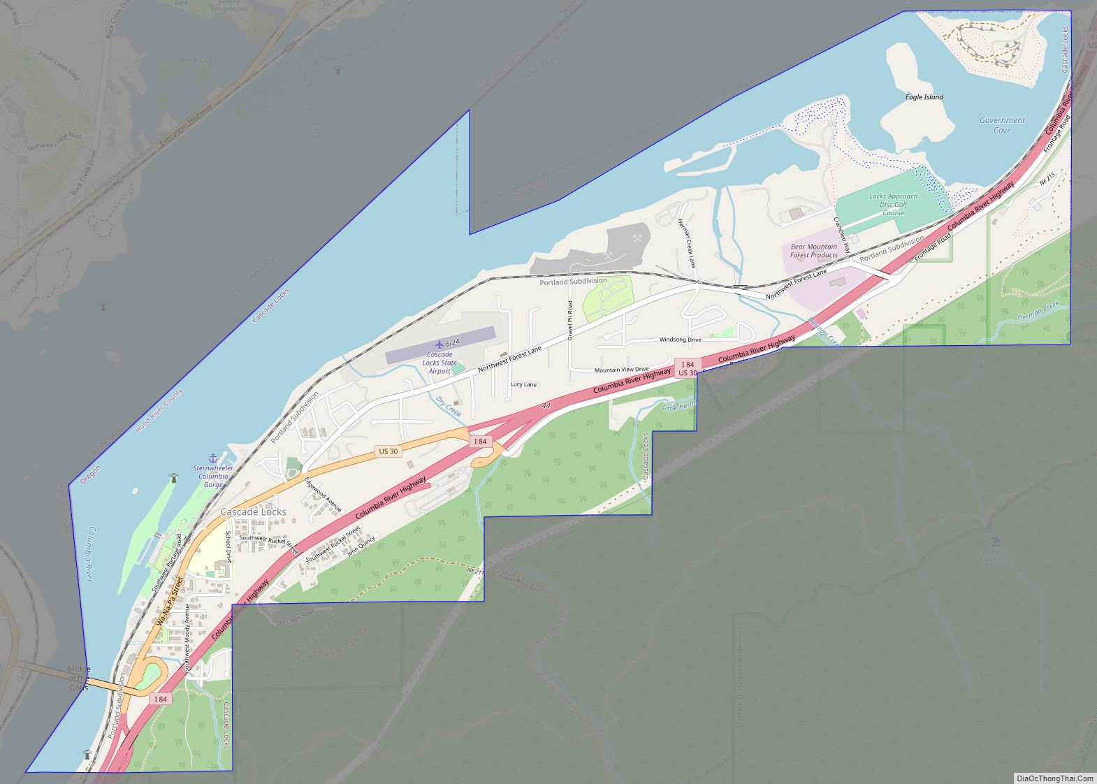
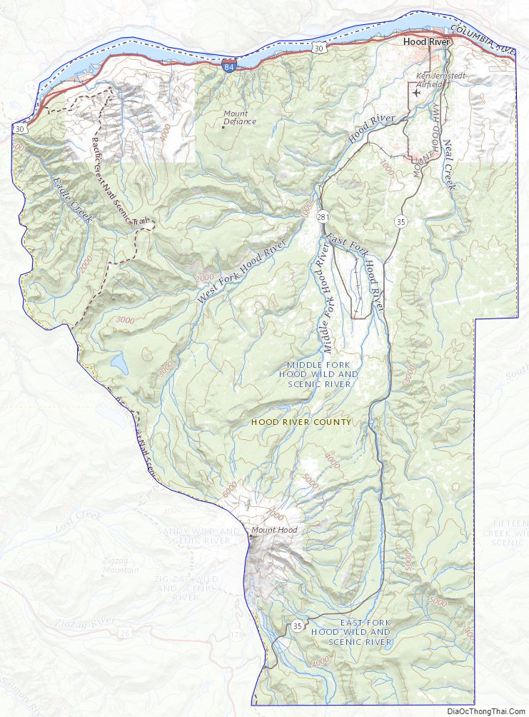
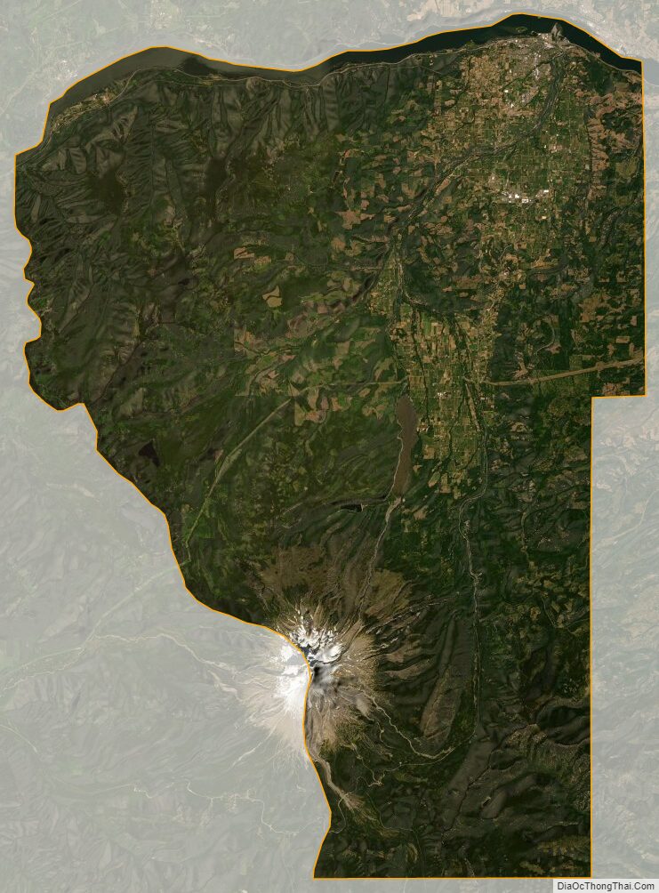
Hood River County is 533 square miles (1,380 km), of which 522 square miles (1,350 km) is land and 11 square miles (28 km) (2.1%) is water. It is the second-smallest county in Oregon by area. Elevation ranges from 60 feet (18 m) above sea level at Cascade Locks in the northwest to 11,235 feet (3,424 m) at the summit of Mount Hood, the highest point in Oregon.
The County lies in a transition zone in the Columbia River Gorge between the temperate rain forest of the Cascade range and dry desert of eastern Oregon. Precipitation varies considerably by longitude and elevation. Annual precipitation averages over 76 inches in Cascade Locks, but is less than 31 inches in the City of Hood River. At the highest reaches of the County on Mount Hood precipitation can be up to 150 inches annually.
The Gorge can have a moderating effect on air temperatures in the County near the Columbia River when maritime air moves in from the west. Major easterly flows, however, can occasionally cause extreme cold conditions as cold air moves west through the Gorge. Winds are generally from the west in the summer, resulting in strong and consistent winds on the Columbia River at Hood River County, making Hood River a world-renowned wind surfing location. Winter winds can blow from either the east or the west and can be of sufficient force to result in widespread damage.
Hood River County contains the entirety of the 217,337 acres (87,953 ha) Hood River watershed, which covers nearly two-thirds of the county. This watershed includes four main sub-basins: the West Fork Hood River, the Middle Fork Hood River, the East Fork Hood River, and the Hood River Mainstem (the lower river and its tributaries).
Sixty percent, or 209,385 acres (84,735 ha), of the County is federal land managed by the Mount Hood National Forest. Another 31,000 acres (13,000 ha), or 8.8 percent, is forestland owned and managed by Hood River County. The State of Oregon owns 3,894 acres (1,576 ha) within the County. Weyerhaeuser Company became a major private landowner in 2013 after purchasing Longview Timber LLC, including its forest holdings in Hood River County. 25,817 acres (10,448 ha), over seven percent of the County, is managed as private farmland. As of 2012 there were 554 farms, with a medium farm size of 19 acres (7.7 ha).
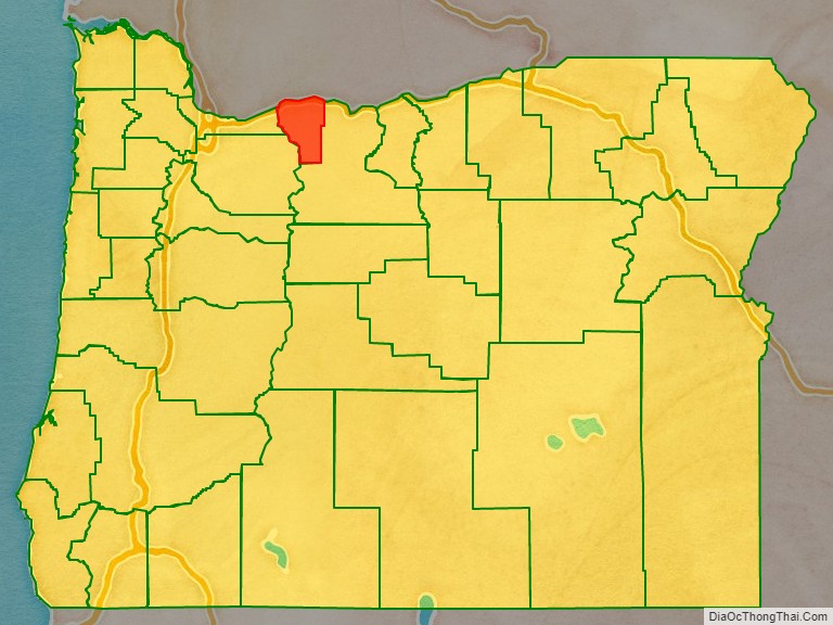
Adjacent counties
- Skamania County, Washington – north
- Klickitat County, Washington – northeast
- Wasco County – southeast
- Clackamas County – southwest
- Multnomah County – west
National protected areas
- Badger Creek Wilderness
- Mark O. Hatfield Wilderness
- Mount Hood Wilderness
- Columbia River Gorge National Scenic Area
Hood River County Topographic Map
Hood River County Satellite Map
Hood River County Outline Map