Wasco County is one of the 36 counties in the U.S. state of Oregon. As of the 2020 census, the population was 25,213. Its county seat is The Dalles. The county is named for a local tribe of Native Americans, the Wasco, a Chinook tribe who live on the south side of the Columbia River. It is near the Washington state line. Wasco County comprises The Dalles Micropolitan Statistical Area.
| Name: | Wasco County |
|---|---|
| FIPS code: | 41-065 |
| State: | Oregon |
| Founded: | January 11, 1854 |
| Named for: | Wasco people |
| Seat: | The Dalles |
| Largest city: | The Dalles |
| Total Area: | 2,395 sq mi (6,200 km²) |
| Land Area: | 2,382 sq mi (6,170 km²) |
| Total Population: | 26,670 |
| Population Density: | 11/sq mi (4.3/km²) |
| Time zone: | UTC−8 (Pacific) |
| Summer Time Zone (DST): | UTC−7 (PDT) |
| Website: | co.wasco.or.us |
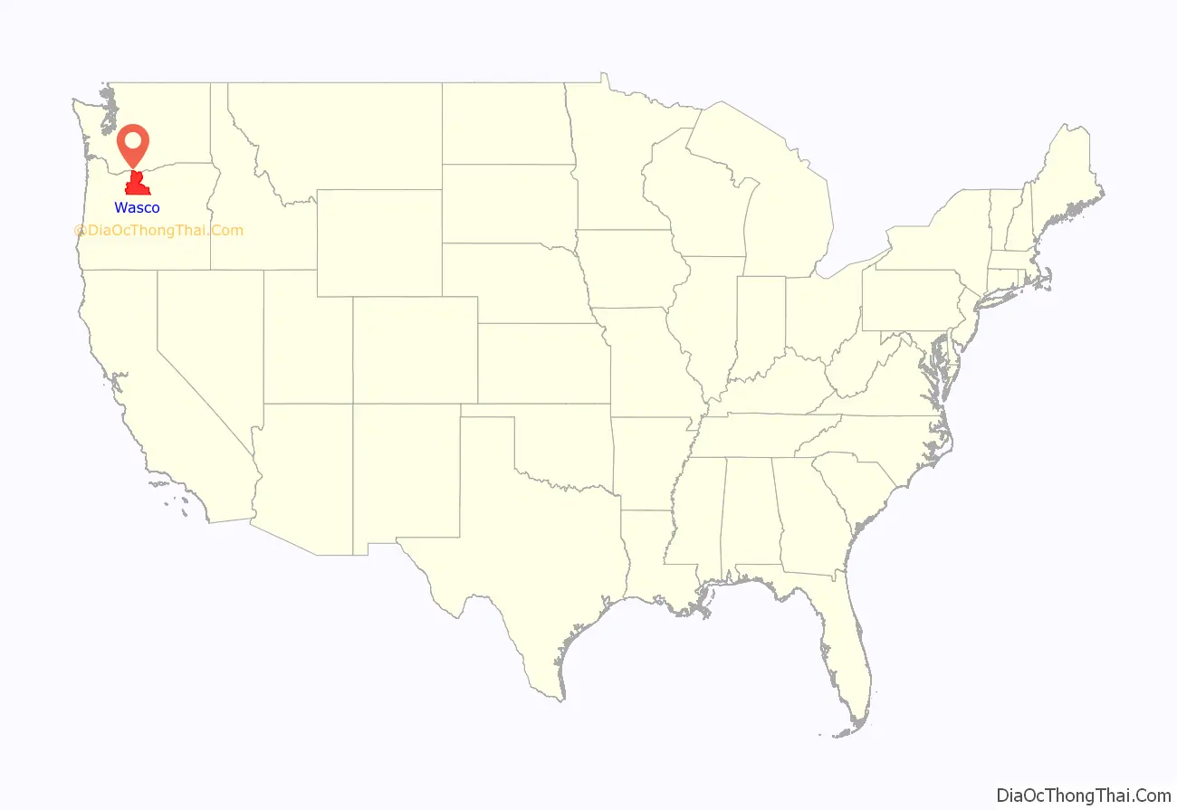
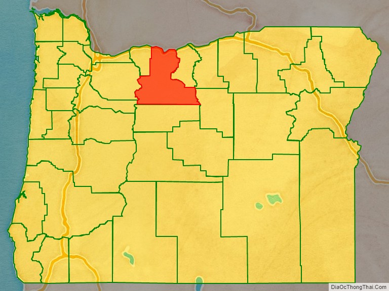
Wasco County location map. Where is Wasco County?
History
Celilo Falls on the Columbia River served as a gathering place and major trading center for the local Native Americans, including the Wasco, Paiute, and Warm Springs tribes, for thousands of years. These rapids came to be named Les Grandes Dalles de la Columbia or “The Great Falls of the Columbia” by the French Canadian fur traders.
The Dalles initially served as a way station on the Oregon Trail as it approached the Willamette Valley. The construction of the Barlow Road over the Cascade Range in 1845, and the Donation Land Claim Act of 1850 encouraged families to settle in the area. Over the following years, Wasco County was a major transportation hub for both river and inland traffic.
The Oregon Territorial Legislature created Wasco County on January 11, 1854, from the parts of Clackamas, Lane, Linn and Marion counties, that were east of the Cascade Range. At the time of its creation, it was the largest county in the United States, consisting of 130,000 square miles (340,000 km) that stretched clear to the Rocky Mountains. Its northern border was the Washington Territory line (the Columbia River). When Dakota Territory (including present-day Wyoming) was created in 1861, Idaho Territory in 1863, and Montana Territory in 1864, the parts of Wasco County east of the present Oregon boundaries were ceded to those territories. Other Oregon counties were split away, and Wasco was reduced to its current size.
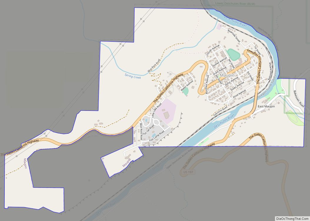
The Dalles was designated the county seat with the creation of the county, and has been its only location.
The river traffic on the Columbia River was profoundly affected in 1935 by the building of Bonneville Dam in Multnomah County and by The Dalles Dam in 1957 in Wasco County (which submerged Celilo Falls).
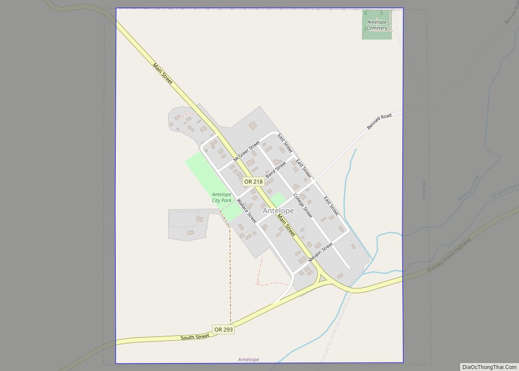
Wasco County attracted international attention in the 1980s, when Bhagwan Shree Rajneesh established the Rajneeshpuram movement at a marginal ranch originally called “The Big Muddy”. Disagreements with the county government and other residents over zoning rules and building codes escalated, while his followers, known as Rajneeshees, settled en bloc in Antelope, Oregon and were able to elect a majority of the town councillors. When the Rajneeshees subsequently recruited homeless people from across the United States to settle at Rajneeshpuram, it was widely seen as an attempt to use the ballot box to seize control of the county. An intentional outbreak of salmonella in salad bars at ten restaurants in The Dalles in 1984 was traced to the acts of Rajneeshees.
Rajneesh was arrested as he was fleeing the U.S. in 1985 and he was subsequently indicted along with seven followers for immigration crimes by a federal grand jury. A separate grand jury in Wasco County charged three Rajneeshees of attempted murder, while Rajneesh entered an Alford plea and was given a suspended sentence on condition that he leave the country.
The former Rajneesh ranch is now known as “Washington Family Ranch”. It is owned and operated by Young Life Ministries, a Christian organization providing camp services for youth.
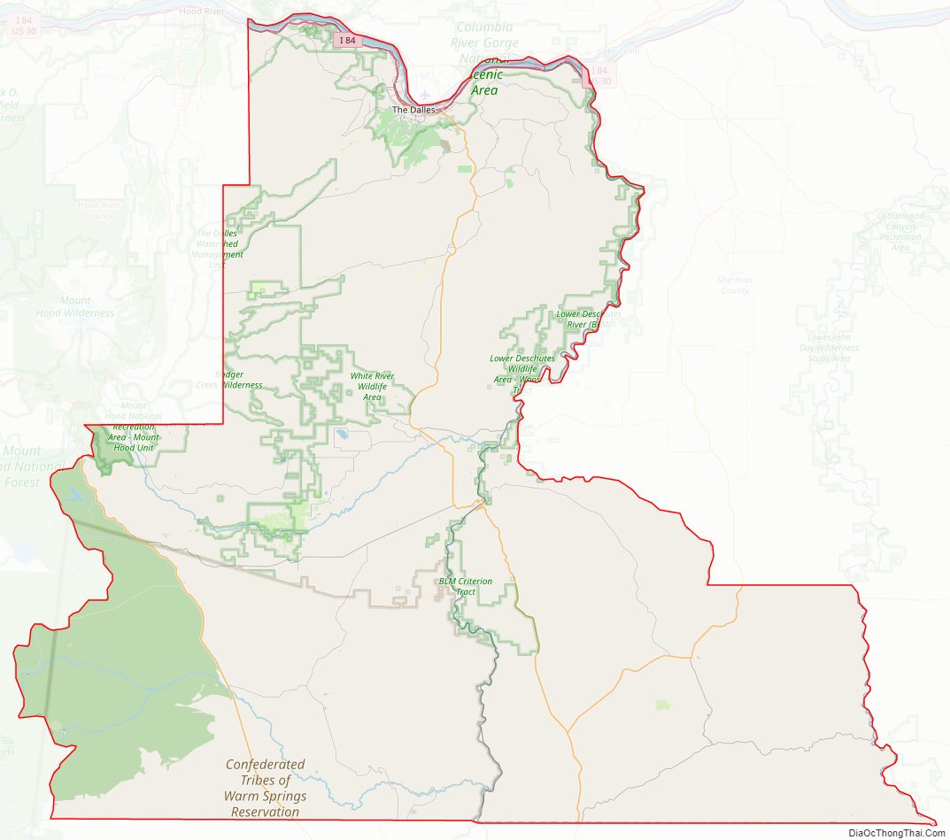
Wasco County Road Map
Geography
According to the United States Census Bureau, the county has a total area of 2,395 square miles (6,200 km), of which 2,382 square miles (6,170 km) is land and 14 square miles (36 km) (0.6%) is water. The northern boundary with Washington is the Columbia River (the state line).
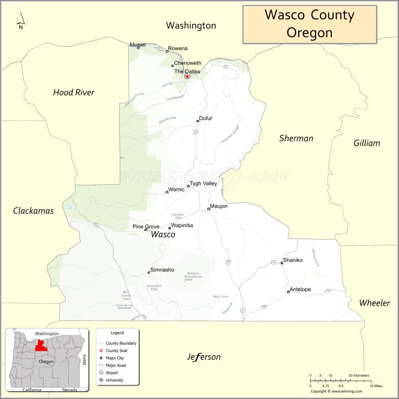
Adjacent counties
- Klickitat County, Washington – north
- Sherman County, Oregon – east
- Gilliam County, Oregon – east
- Wheeler County, Oregon – southeast
- Jefferson County, Oregon – south
- Marion County, Oregon – southwest
- Clackamas County, Oregon – west
- Hood River County, Oregon – west
National protected area
- Mount Hood National Forest
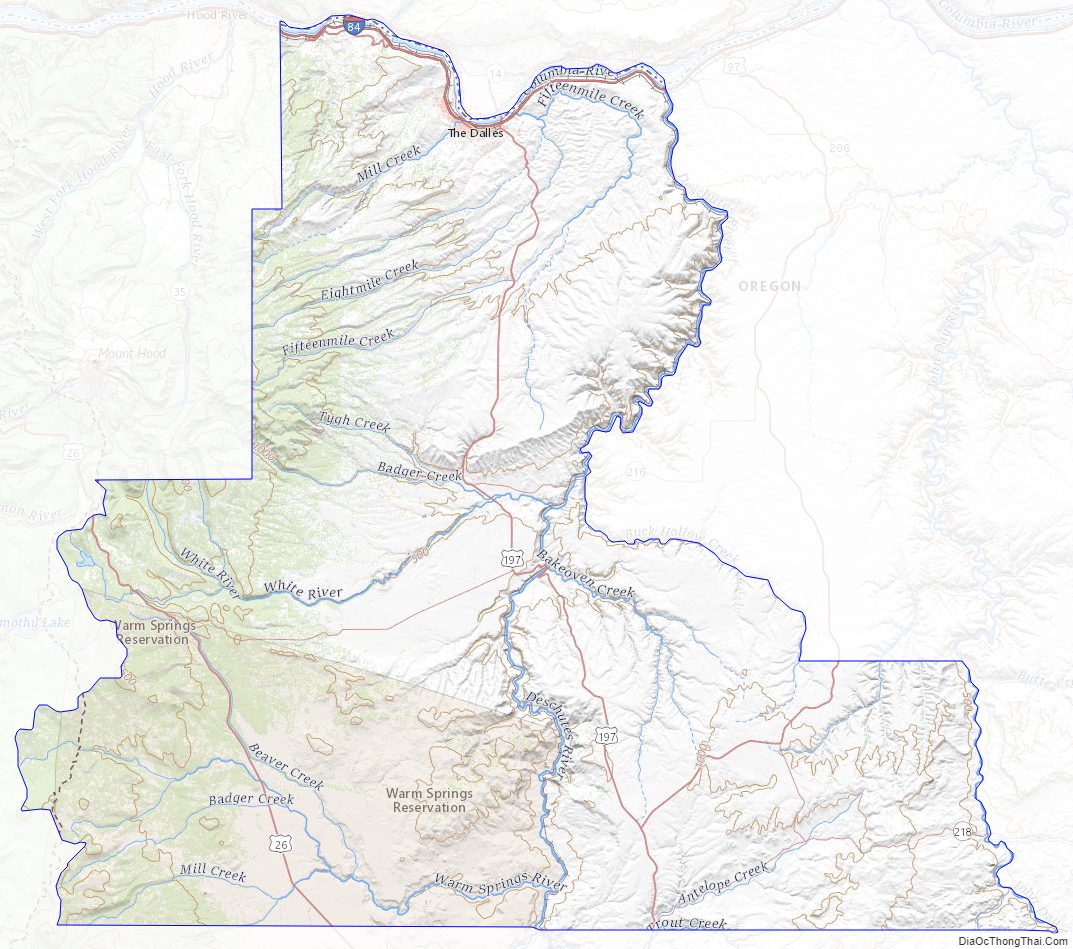
Wasco County Topographic Map
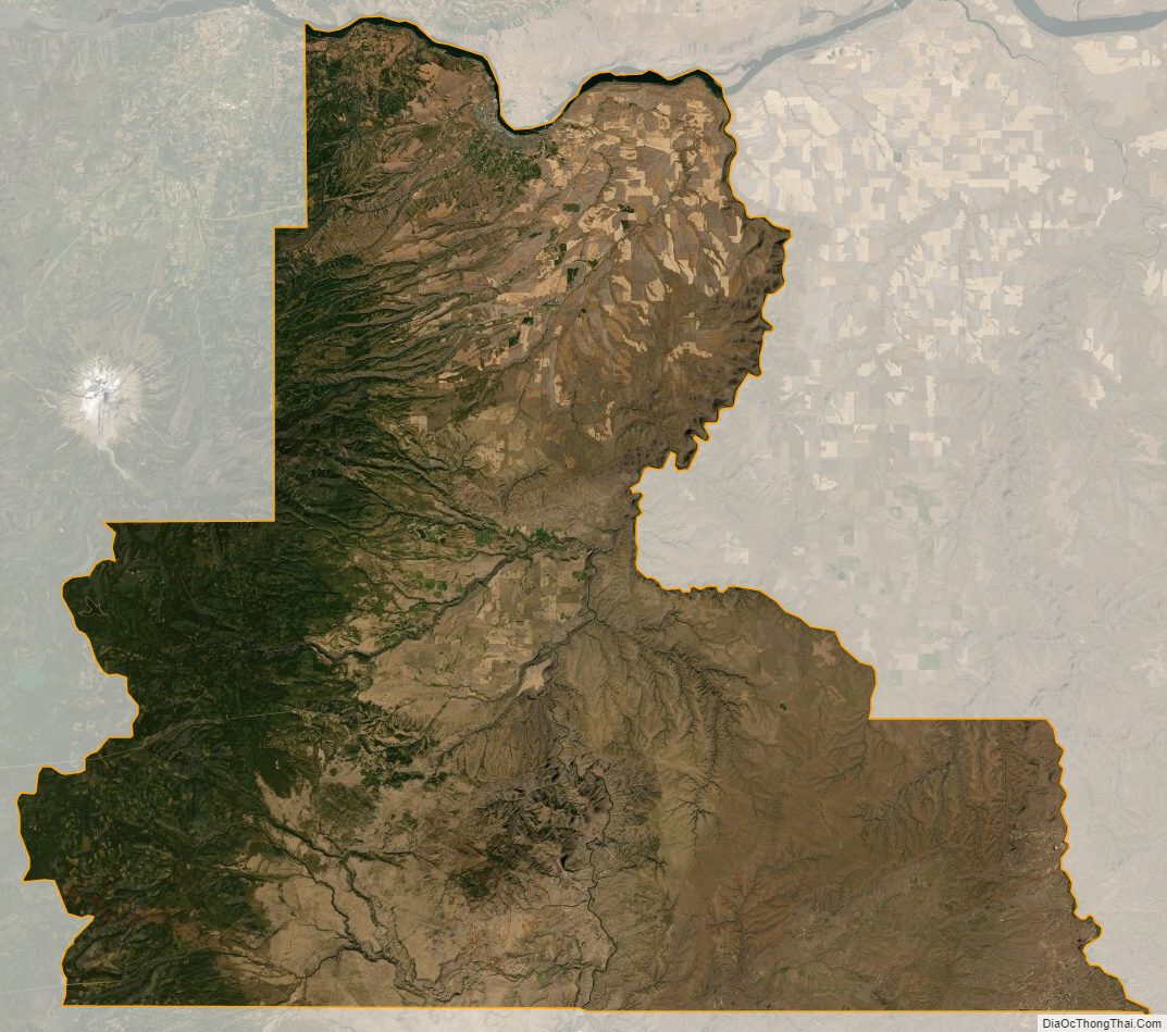
Wasco County Satellite Map
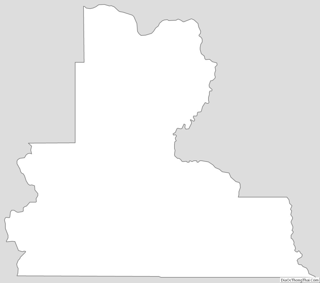
Wasco County Outline Map