Kodiak Island Borough (Russian: Остров Кадьяк) is a borough in the U.S. state of Alaska. At the 2020 census, the population was 13,101, down from 13,592 in 2010. The borough seat is Kodiak.
| Name: | Kodiak Island Borough |
|---|---|
| FIPS code: | 02-150 |
| State: | Alaska |
| Named for: | Kodiak Island |
| Seat: | Kodiak |
| Largest city: | Kodiak |
| Total Area: | 12,022 sq mi (31,140 km²) |
| Land Area: | 6,550 sq mi (17,000 km²) |
| Total Population: | 13,101 |
| Population Density: | 1.1/sq mi (0.42/km²) |
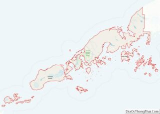
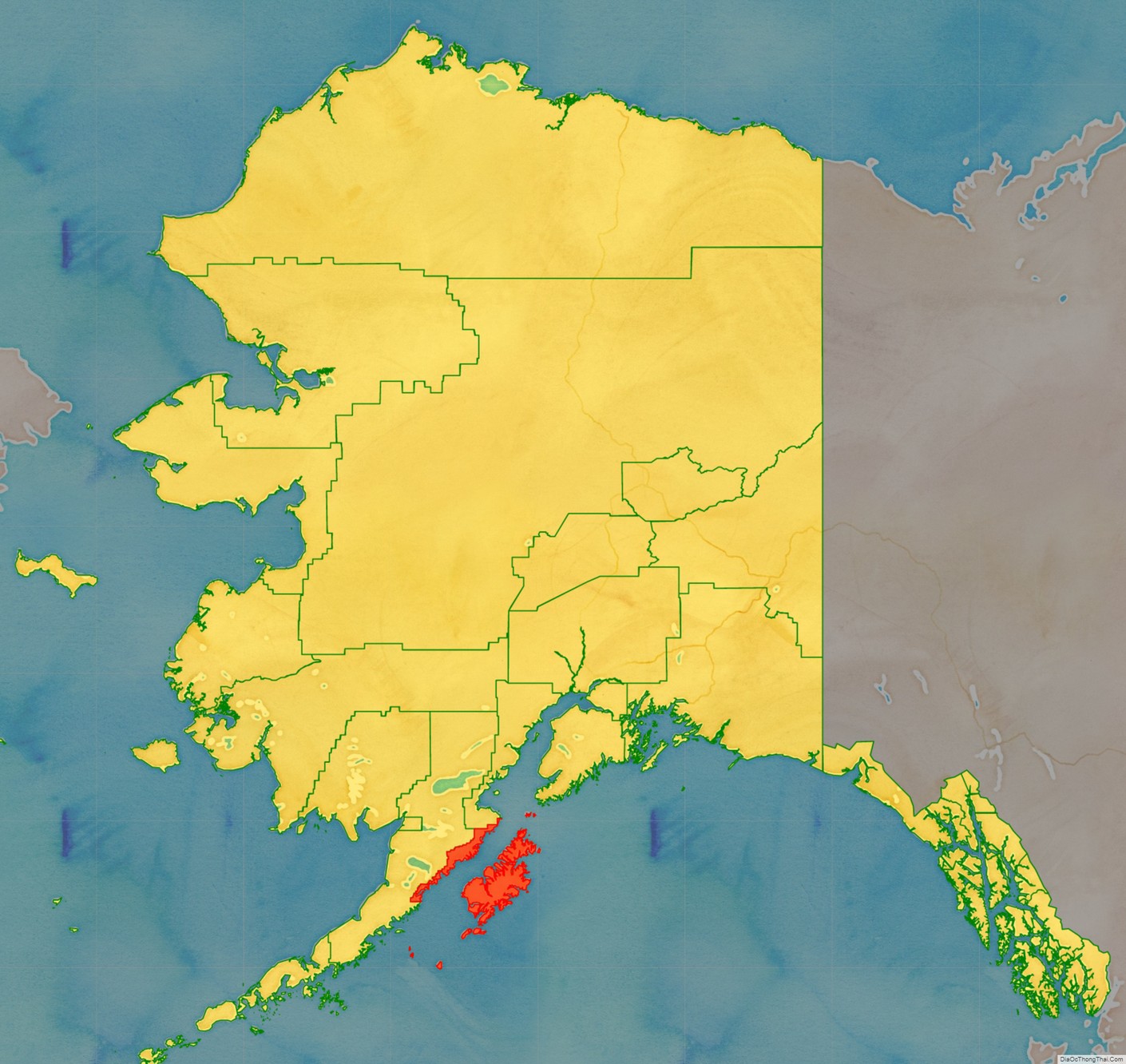
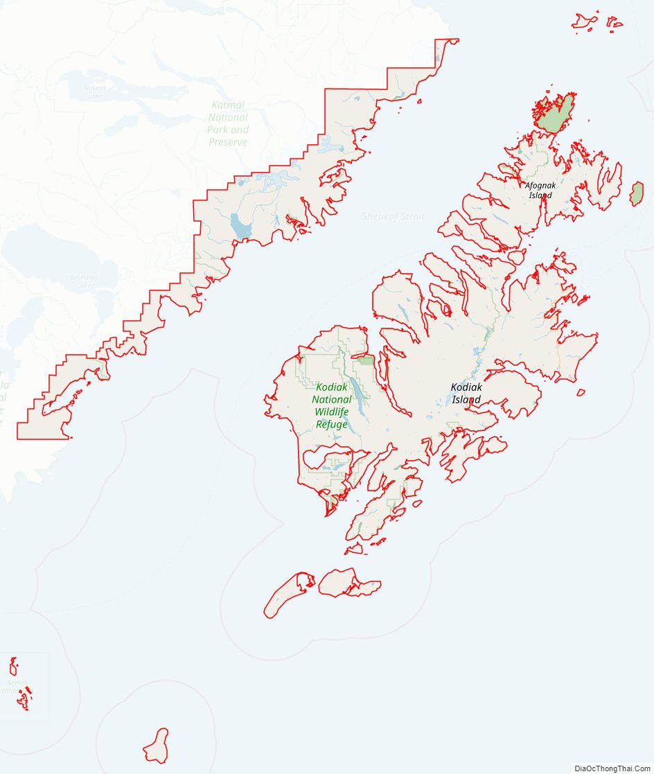
Kodiak Island Borough location map. Where is Kodiak Island Borough?
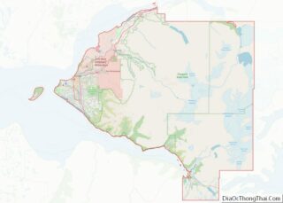
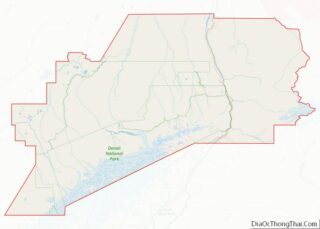
Kodiak Island Borough Road Map
Geography
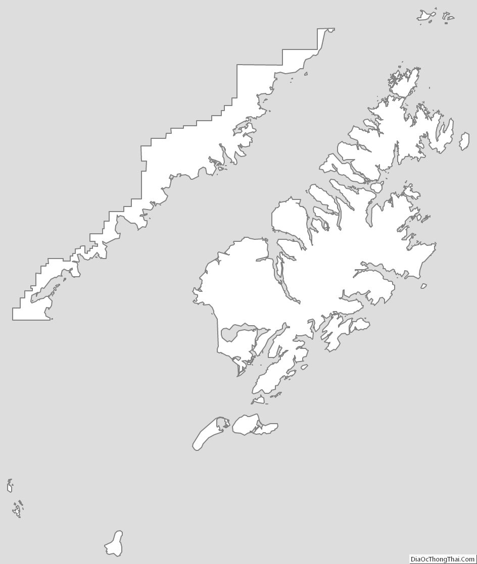
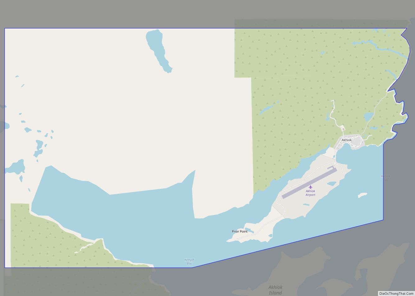
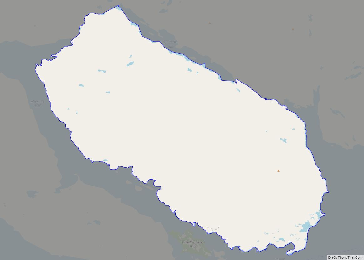
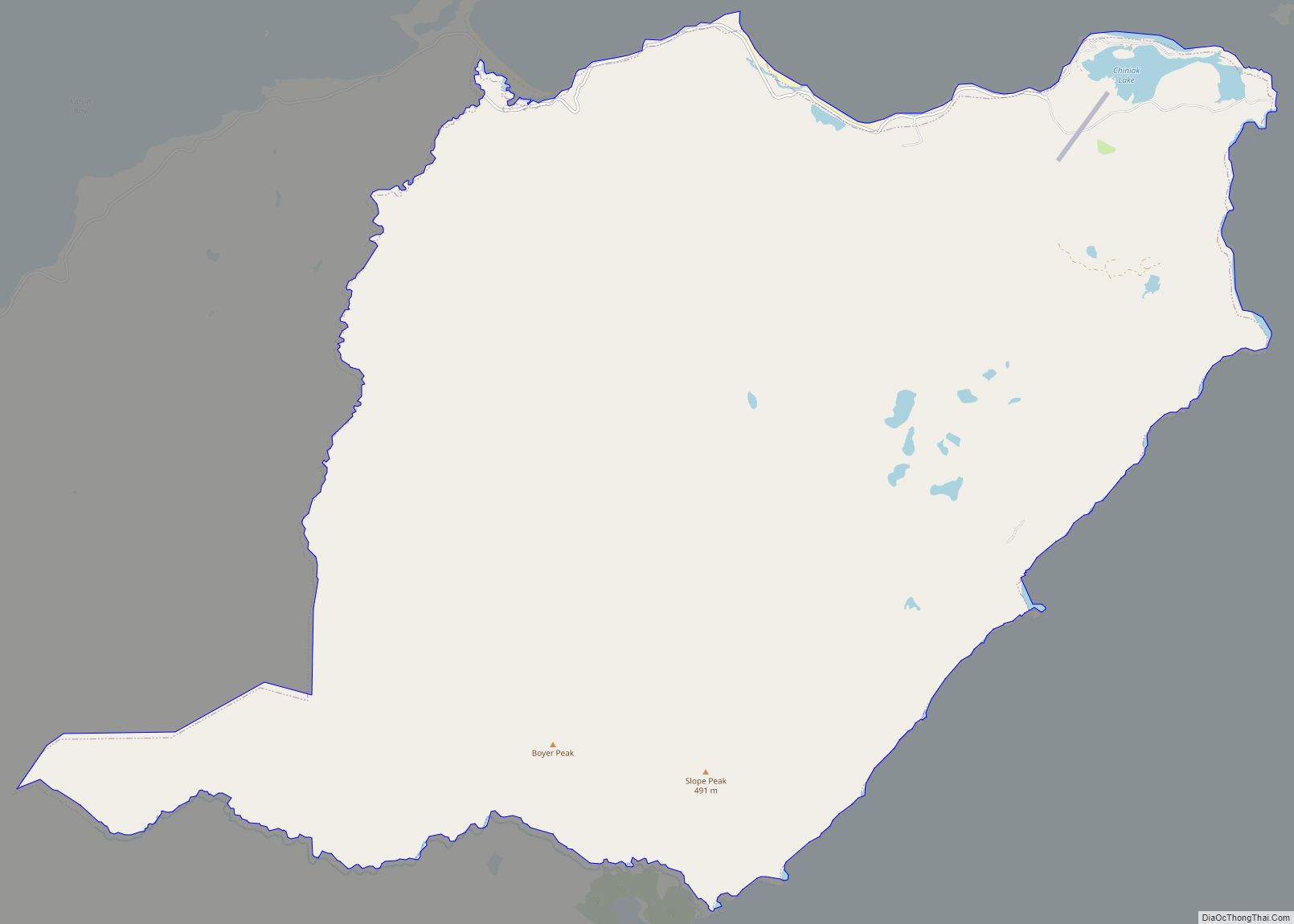
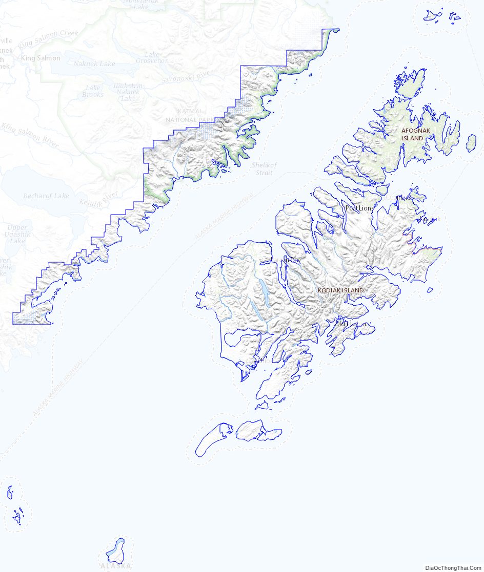
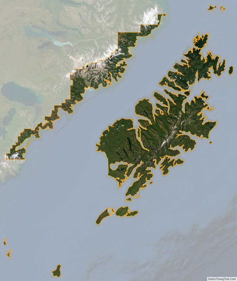
The borough has a total area of 12,022 square miles (31,140 km), of which 6,550 square miles (17,000 km) is land and 5,472 square miles (14,170 km) (45.5%) is water. Most of the land area belongs to Kodiak Island, but a thin strip of coastal area on the western part of the Alaska Peninsula and other nearby islands (Afognak Island, Shuyak Island, Marmot Island, Raspberry Island, Little Raspberry Island, Whale Island, Spruce Island, Woody Island, Uganik Island, Sitkalidak Island, Tugidak Island, Sitkinak Island, Chirikof Island, and the Semidi Islands) are also in the borough. The waterway between the island and mainland is known as the Shelikof Strait. South of the island are the open waters of the Pacific Ocean, so the site is considered good for launching certain types of satellites. The Kodiak Launch Complex is ideal for putting satellites in Molniya and polar orbits.
Adjacent boroughs
- Kenai Peninsula Borough, Alaska – north
- Lake and Peninsula Borough, Alaska – northwest
National protected areas
- Alaska Maritime National Wildlife Refuge (parts of Alaska Peninsula and Gulf of Alaska units)
- Barren Islands
- Semidi Wilderness
- Semidi Islands
- Trinity Islands
- Sitkinak Island
- Tugidak Island
- Alaska Peninsula National Wildlife Refuge (part)
- Becharof National Wildlife Refuge (part)
- Becharof Wilderness (part)
- Chugach National Forest (part)
- Katmai National Park and Preserve (part)
- Katmai Wilderness (part)
- Kodiak National Wildlife Refuge
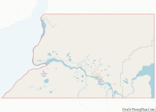
Kodiak Island Borough Topographic Map
Kodiak Island Borough Satellite Map
Kodiak Island Borough Outline Map