Aleneva is a census-designated place in the Kodiak Island Borough in the U.S. state of Alaska. As of the 2010 census, the population was 37, down from 68 in 2000.
| Name: | Aleneva CDP |
|---|---|
| LSAD Code: | 57 |
| LSAD Description: | CDP (suffix) |
| State: | Alaska |
| County: | Kodiak Island Borough |
| Elevation: | 620 ft (189 m) |
| Total Area: | 62.21 sq mi (161.12 km²) |
| Land Area: | 62.21 sq mi (161.12 km²) |
| Water Area: | 0.00 sq mi (0.00 km²) |
| Total Population: | 5 |
| Population Density: | 0.08/sq mi (0.03/km²) |
| Area code: | 907 |
| FIPS code: | 0201560 |
| GNISfeature ID: | 1865543 |
Online Interactive Map
Click on ![]() to view map in "full screen" mode.
to view map in "full screen" mode.
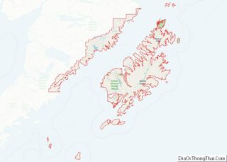
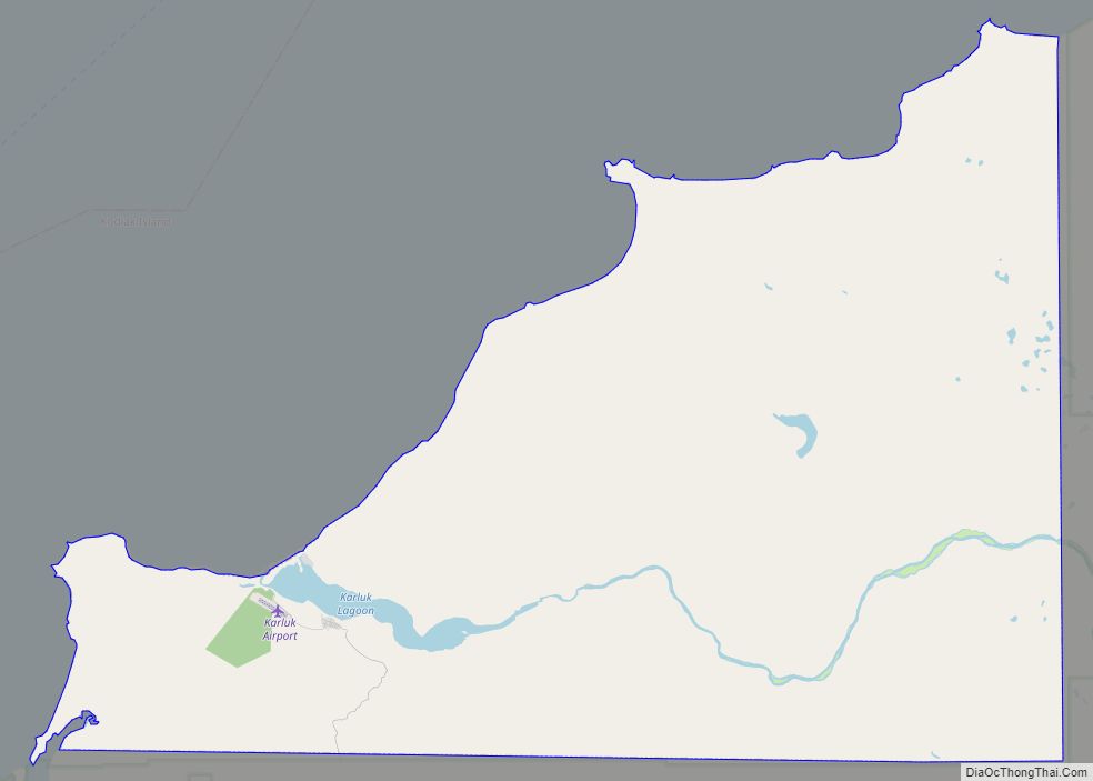
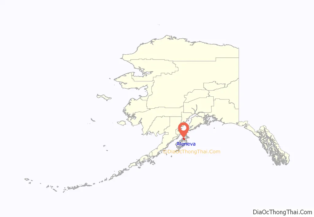
Aleneva location map. Where is Aleneva CDP?
History
Aleneva is a settlement of Russian Old Believers whose ancestors settled in Woodburn, Oregon, after the October Revolution forced them out of Russia.
The population consists of 1.5% Alaska Native or part Native. During the 2000 census, total housing units numbered 14, of which none were vacant. 2000 census data showed 21 residents as employed. The unemployment rate at that time was zero, although half of all adults were not in the work force. The median household income was $10,417 and the per capita income was $3,707, making Aleneva the place in Alaska with the lowest per capita income. 40.66% of residents were living below the poverty level.
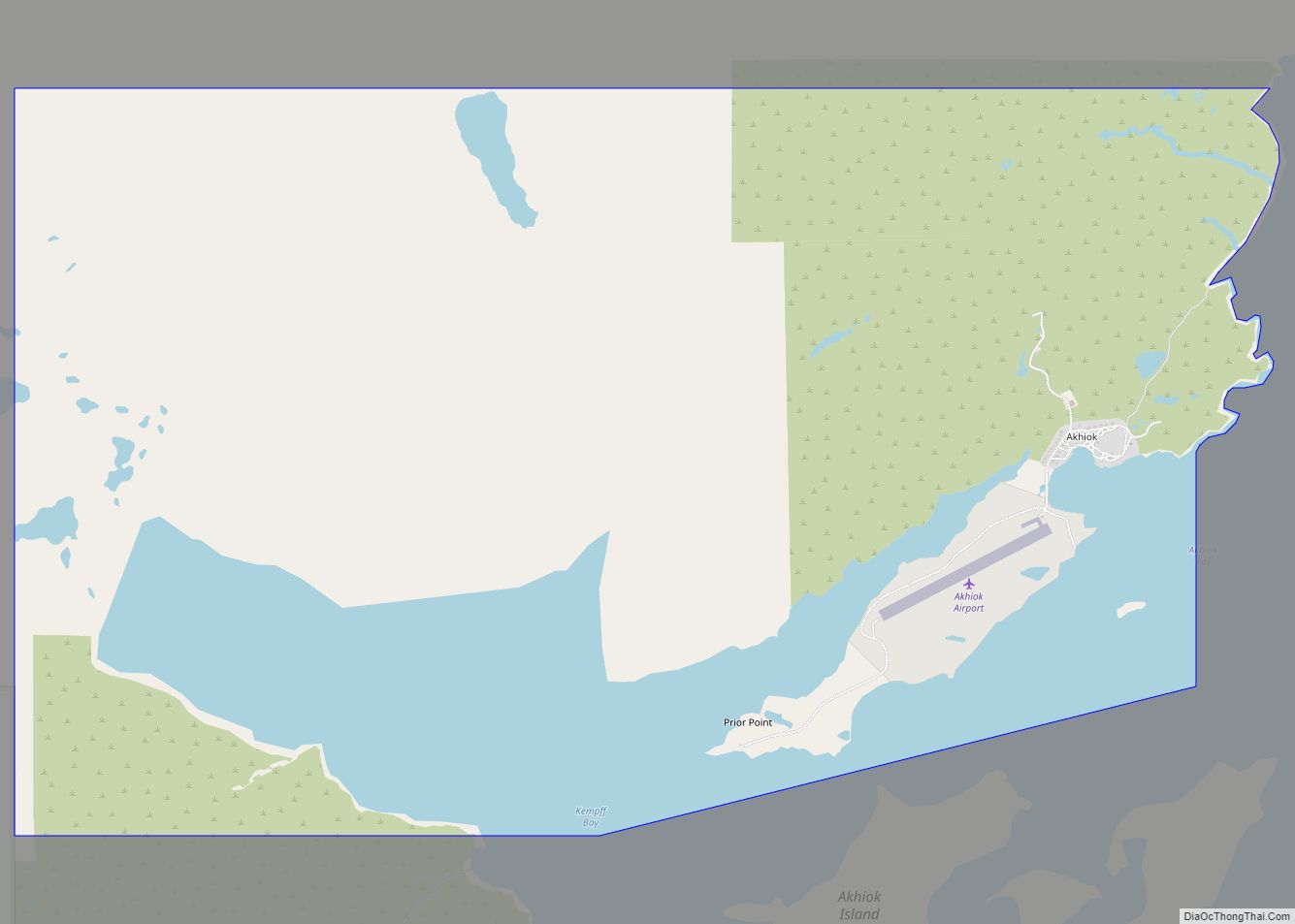
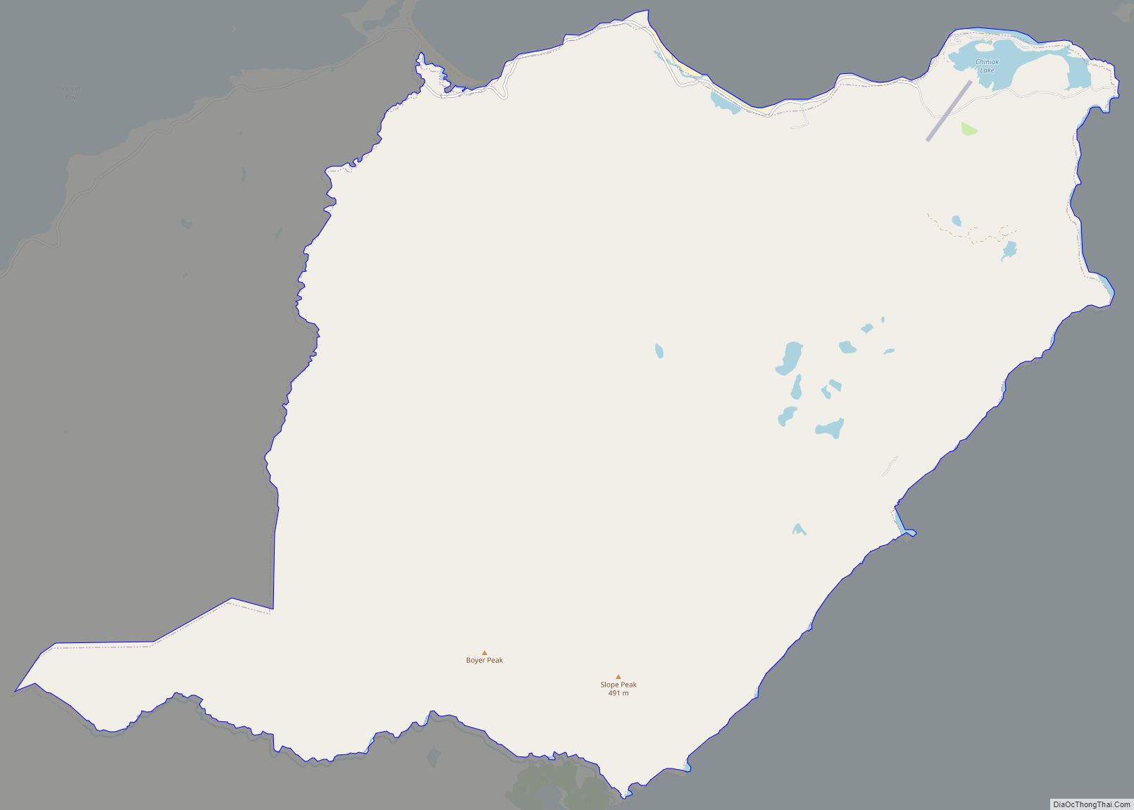
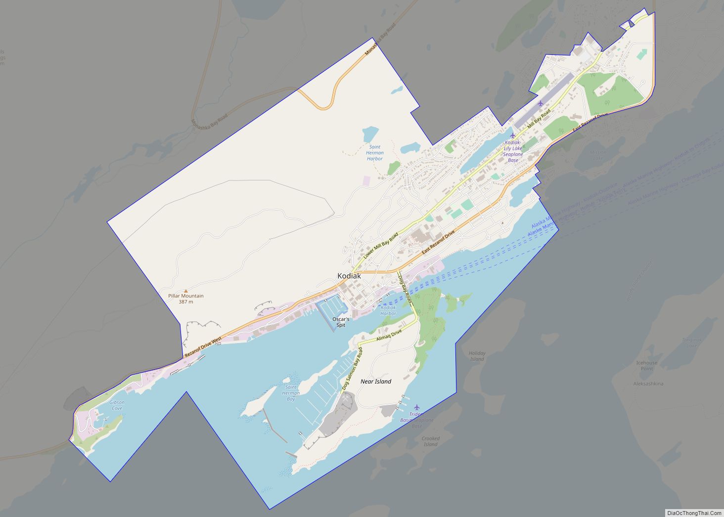
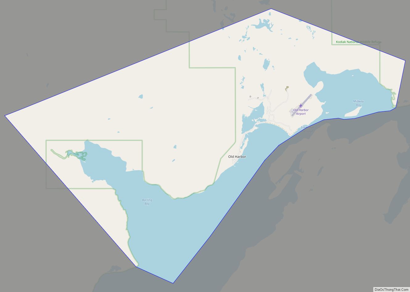
Aleneva Road Map

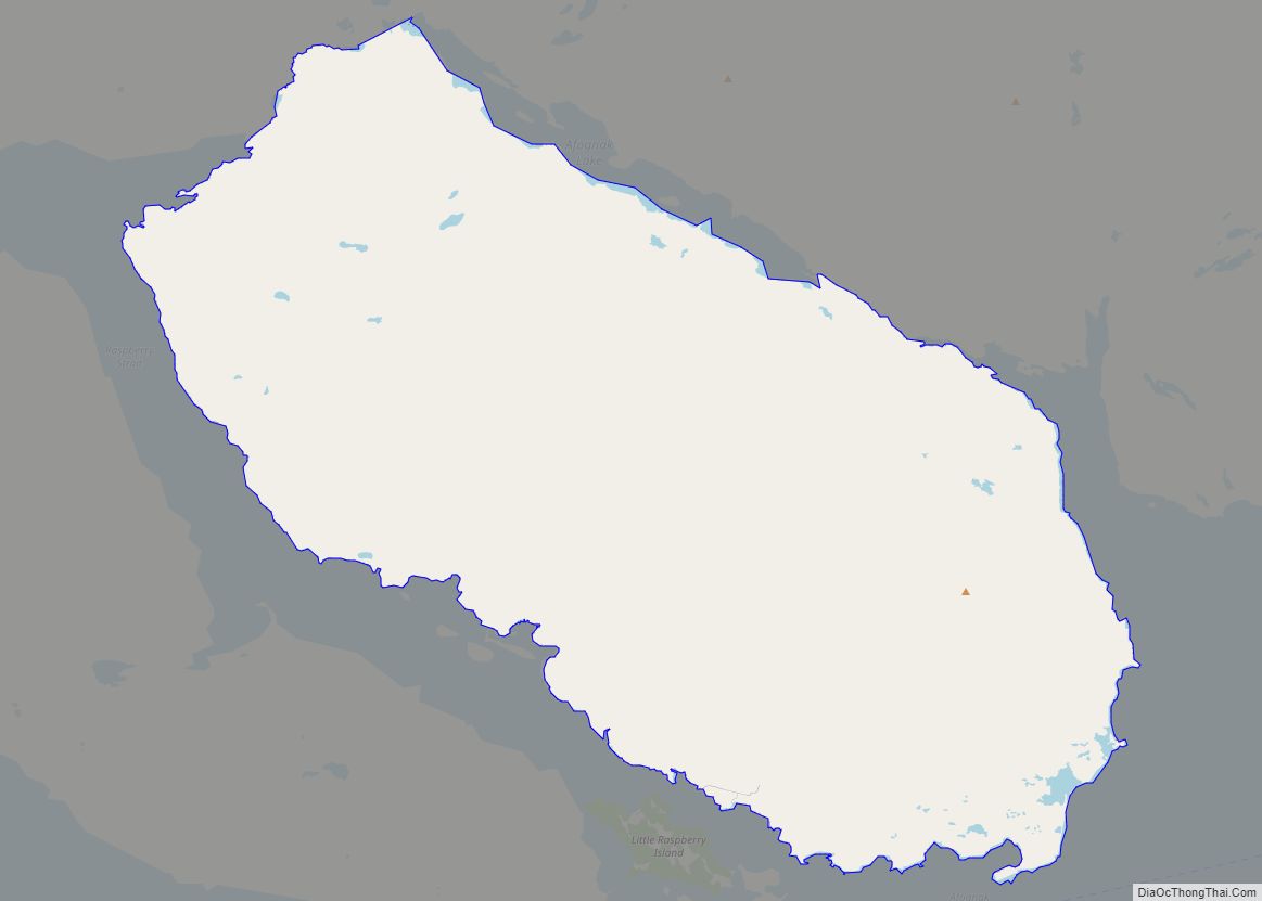
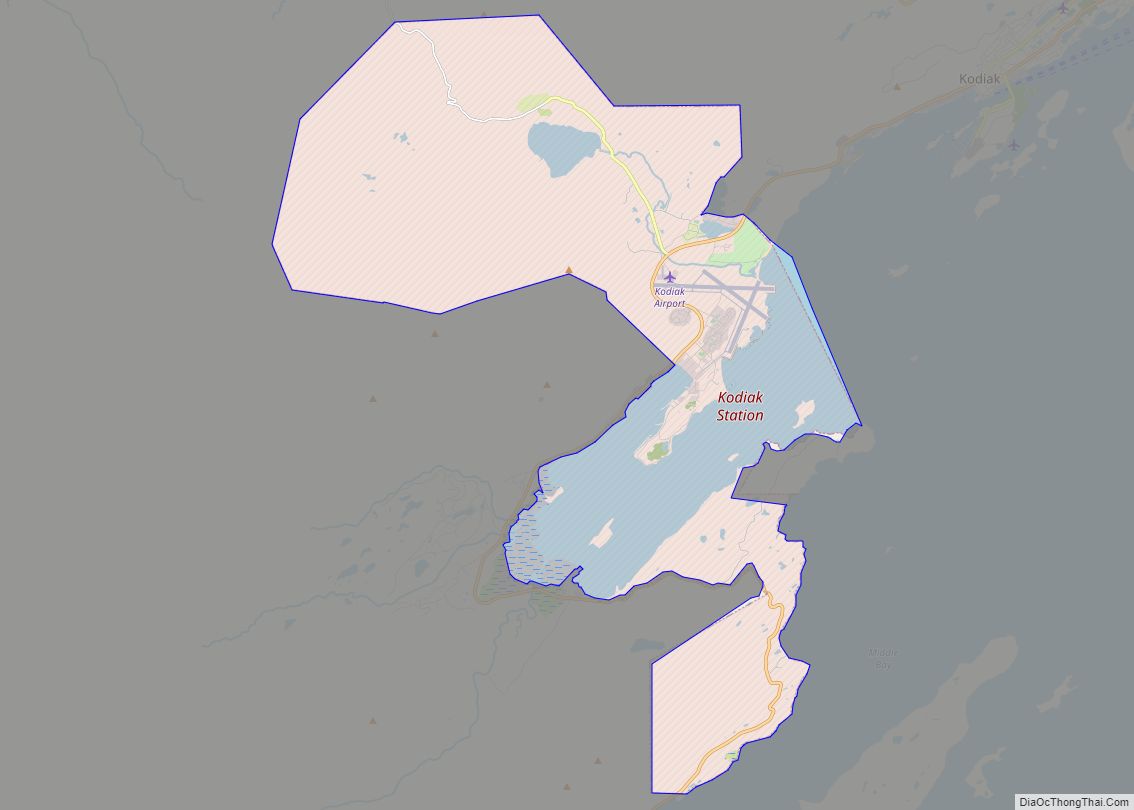
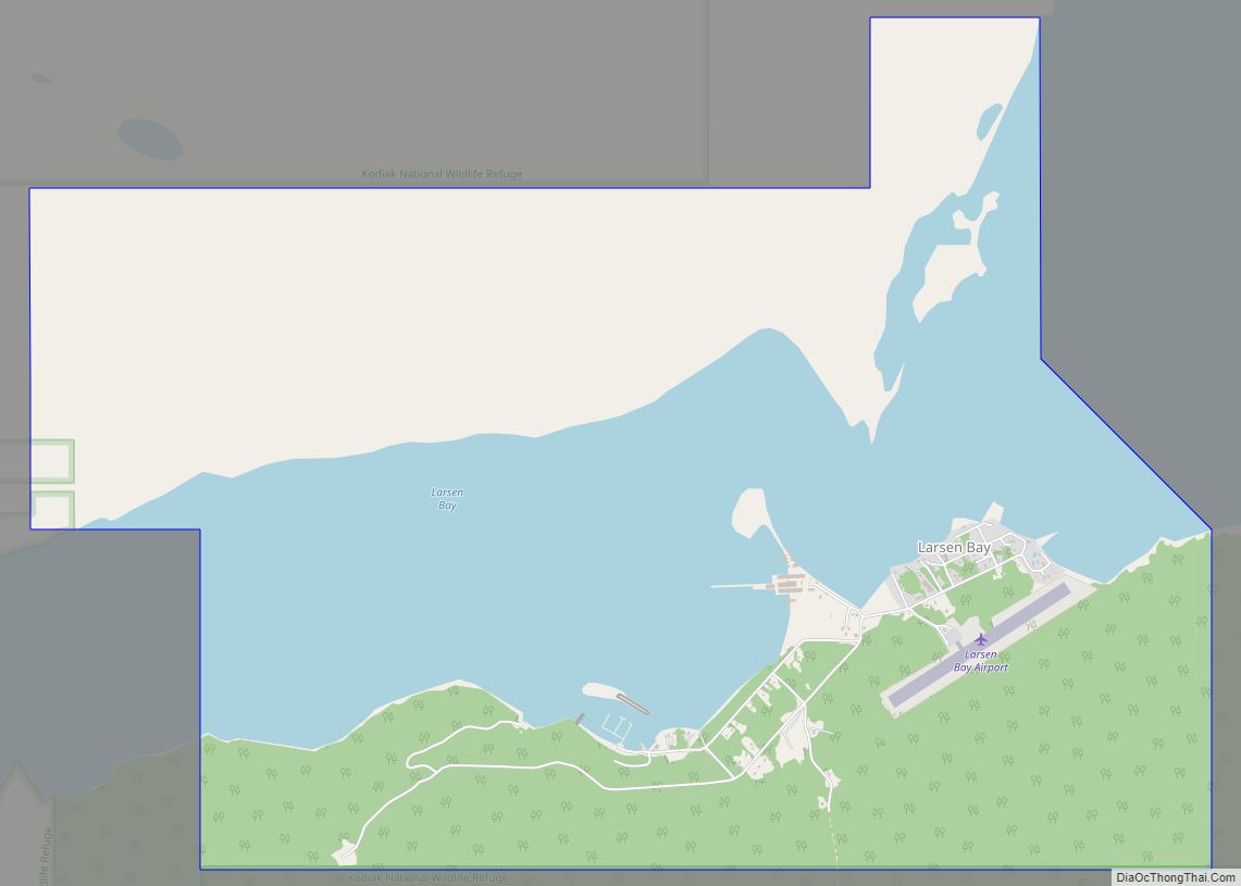
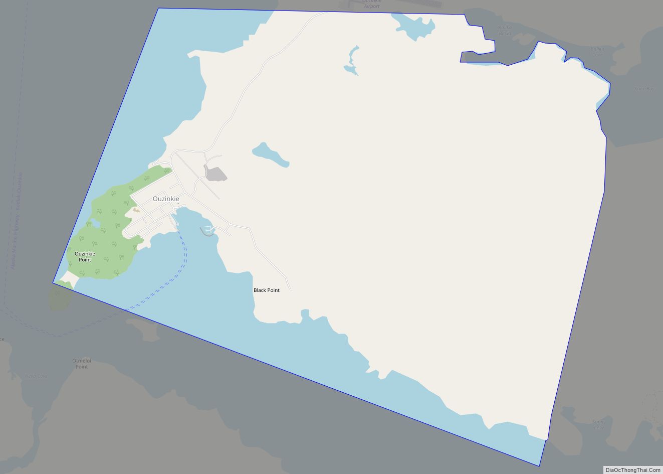
Aleneva city Satellite Map

Geography
Aleneva is located at 58°00′51″N 152°54′34″W / 58.01417°N 152.90944°W / 58.01417; -152.90944 (Sec. 18, T025S, R022W, Seward Meridian) in the Kodiak Recording District.
Aleneva is located on the southern coast of the island of Afognak, north of Kodiak Island. It is on the coast of Raspberry Strait, across from Little Raspberry Island.
The Kodiak Archipelago is warmed by the Japanese current. The climate is similar to Southeast Alaska, with less precipitation. January temperatures range from 14 to 46 °F (−10 to 8 °C). July temperatures range from 39 to 76 °F (4 to 24 °C). Average annual rainfall is 74 inches (187.96 cm).
According to the United States Census Bureau, the CDP has a total area of 62.2 square miles (161.1 km), all land.
See also
Map of Alaska State and its subdivision:- Aleutians East
- Aleutians West
- Anchorage
- Bethel
- Bristol Bay
- Denali
- Dillingham
- Fairbanks North Star
- Haines
- Juneau
- Kenai Peninsula
- Ketchikan Gateway
- Kodiak Island
- Lake and Peninsula
- Matanuska-Susitna
- Nome
- North Slope
- Northwest Arctic
- Prince of Wales-Outer Ketchi
- Sitka
- Skagway-Yakutat-Angoon
- Southeast Fairbanks
- Valdez-Cordova
- Wade Hampton
- Wrangell-Petersburg
- Yukon-Koyukuk
- Alabama
- Alaska
- Arizona
- Arkansas
- California
- Colorado
- Connecticut
- Delaware
- District of Columbia
- Florida
- Georgia
- Hawaii
- Idaho
- Illinois
- Indiana
- Iowa
- Kansas
- Kentucky
- Louisiana
- Maine
- Maryland
- Massachusetts
- Michigan
- Minnesota
- Mississippi
- Missouri
- Montana
- Nebraska
- Nevada
- New Hampshire
- New Jersey
- New Mexico
- New York
- North Carolina
- North Dakota
- Ohio
- Oklahoma
- Oregon
- Pennsylvania
- Rhode Island
- South Carolina
- South Dakota
- Tennessee
- Texas
- Utah
- Vermont
- Virginia
- Washington
- West Virginia
- Wisconsin
- Wyoming